Anthorn and Cardurnock Marsh
Coastal Marsh, Saltings in Cumberland Allerdale
England
Anthorn and Cardurnock Marsh

Anthorn and Cardurnock Marsh are two coastal marshes located in Cumberland, England. These marshes, also known as saltings, are situated on the Solway Firth, a large estuary that separates England from Scotland.
Anthorn Marsh is a vast expanse of saltmarsh, characterized by its flat and muddy terrain. It is home to a diverse range of plant species that have adapted to the brackish conditions, including sea lavender, sea aster, and marsh samphire. These plants provide crucial habitats for various bird species, such as redshanks, lapwings, and curlews, which can be observed feeding and nesting in the marshland.
Cardurnock Marsh, located just north of Anthorn, is a smaller but equally important saltmarsh. It is famous for its rich biodiversity, hosting a variety of bird species, insects, and marine life. The marsh is particularly recognized for its significant population of barnacle geese, which migrate here from Arctic regions during the winter months.
Both Anthorn and Cardurnock Marsh are protected areas, designated as Sites of Special Scientific Interest (SSSI) and part of the Solway Coast Area of Outstanding Natural Beauty. These designations aim to preserve the unique habitats and wildlife found in these marshes, while also providing opportunities for people to enjoy and appreciate the natural surroundings.
Visitors can explore the marshes through designated footpaths and bird hides, allowing them to observe the diverse range of birdlife and experience the tranquility of these coastal habitats.
If you have any feedback on the listing, please let us know in the comments section below.
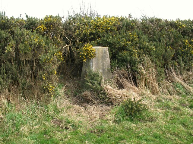
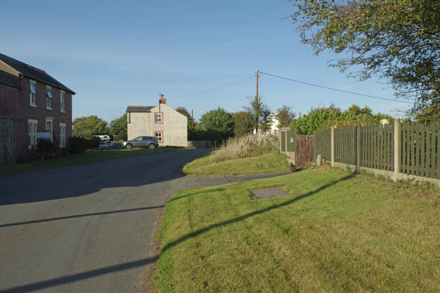
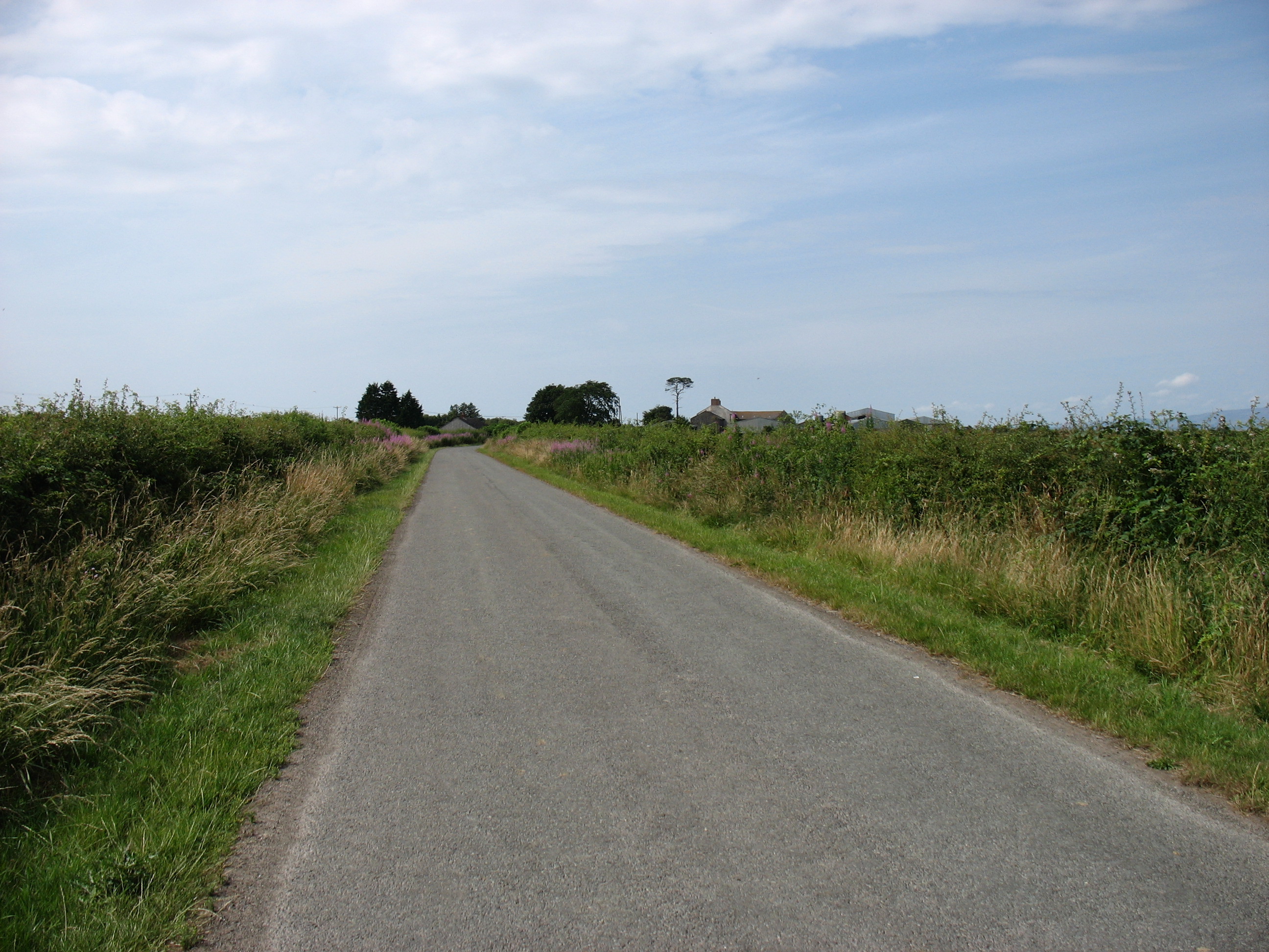
Anthorn and Cardurnock Marsh Images
Images are sourced within 2km of 54.921095/-3.298483 or Grid Reference NY1659. Thanks to Geograph Open Source API. All images are credited.


Anthorn and Cardurnock Marsh is located at Grid Ref: NY1659 (Lat: 54.921095, Lng: -3.298483)
Administrative County: Cumbria
District: Allerdale
Police Authority: Cumbria
What 3 Words
///prancing.aviators.stops. Near Annan, Dumfries & Galloway
Nearby Locations
Related Wikis

Milefortlet 4
Milefortlet 4 (Herd Hill) was a Milefortlet of the Roman Cumbrian Coast defences. These milefortlets and intervening stone watchtowers extended from the...

Milefortlet 5
Milefortlet 5 (Cardurnock) was a Milefortlet of the Roman Cumbrian Coast defences. These milefortlets and intervening stone watchtowers extended from...

Cardurnock
Cardurnock is a small settlement in Cumbria, England. It is by the coast, 20 kilometres (12 mi) west of Carlisle. The western extension of the Hadrian...

Anthorn Radio Station
Anthorn Radio Station is a naval and government radio transmitting station located near Anthorn, Cumbria, England, overlooking the Solway Firth, and is...

Time from NPL (MSF)
The Time from NPL is a radio signal broadcast from the Anthorn Radio Station near Anthorn, Cumbria, which serves as the United Kingdom's national time...
Milefortlet 3
Milefortlet 3 (Pasture House) was a Milefortlet of the Roman Cumbrian Coast defences. These milefortlets and intervening stone watchtowers extended from...

Moricambe Bay
Moricambe Bay is an inlet of the Solway Firth in Cumbria (before 1974 in Cumberland) in north west England, created by the confluence of two rivers, the...

River Wampool
The River Wampool is a river flowing through north western Cumbria in England. It is in the Waver and Wampool (or Wampool and Waver) catchment which includes...
Nearby Amenities
Located within 500m of 54.921095,-3.298483Have you been to Anthorn and Cardurnock Marsh?
Leave your review of Anthorn and Cardurnock Marsh below (or comments, questions and feedback).