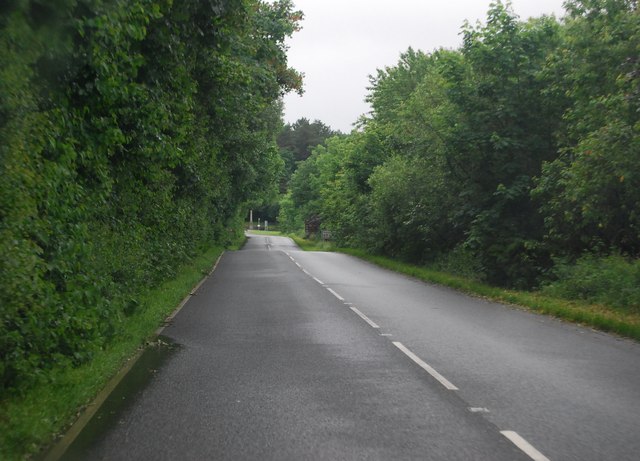
Eskholme Marsh
Coastal Marsh, Saltings in Cumberland Copeland
England
Eskholme Marsh

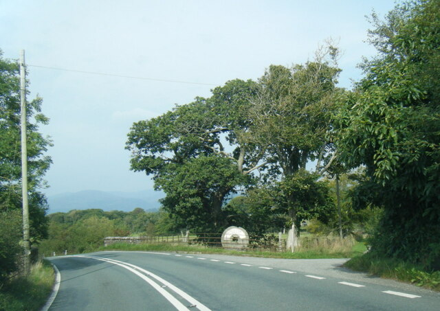
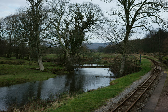
Eskholme Marsh, located in Cumberland, is a coastal marsh and saltings area renowned for its unique ecological features. Spanning over a vast expanse of land, this marsh is a vital component of the local ecosystem and plays a crucial role in maintaining the ecological balance of the region.
The marsh is characterized by its low-lying, flat terrain, which is often inundated by tidal waters. This constant ebb and flow of water creates a dynamic environment, fostering the growth of a diverse range of plant and animal species. The marsh is home to various salt-tolerant plants such as sea lavender, sea purslane, and glasswort, which thrive in the saline conditions.
Eskholme Marsh serves as an important breeding ground and habitat for numerous bird species. It provides a safe haven for migratory birds, including wading birds, ducks, and geese, during their long journeys. The abundant food resources and sheltered areas of the marsh attract these birds, making it a significant site for birdwatchers and enthusiasts.
The marsh also supports a rich array of invertebrates, including shrimp, crabs, and snails, which form the basis of the food chain for many bird and fish species. It is not uncommon to spot seals and otters in the vicinity, as they are drawn to the marsh by the abundance of prey.
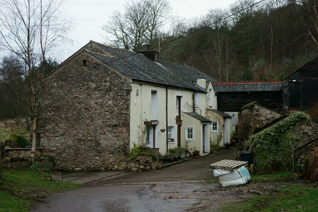
Efforts have been made to preserve and protect Eskholme Marsh, recognizing its ecological importance. Conservation initiatives, such as limiting access to certain areas and managing water levels, aim to maintain the delicate balance of this unique habitat. Visitors to the marsh can enjoy its serene beauty, observe the diverse wildlife, and appreciate the intricate ecological relationships that make Eskholme Marsh an exceptional coastal marsh and saltings area.
If you have any feedback on the listing, please let us know in the comments section below.
Eskholme Marsh Images
Images are sourced within 2km of 54.355954/-3.3708441 or Grid Reference SD1196. Thanks to Geograph Open Source API. All images are credited.


Eskholme Marsh is located at Grid Ref: SD1196 (Lat: 54.355954, Lng: -3.3708441)
Administrative County: Cumbria
District: Copeland
Police Authority: Cumbria
What 3 Words
///kinder.pixel.sprain. Near Seascale, Cumbria
Nearby Locations
Related Wikis

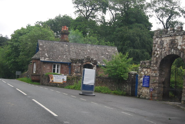
St Michael's Church, Muncaster
St Michael's Church is in the grounds of Muncaster Castle, near Ravenglass, Cumbria, England. It is an active Anglican parish church in the deanery of...

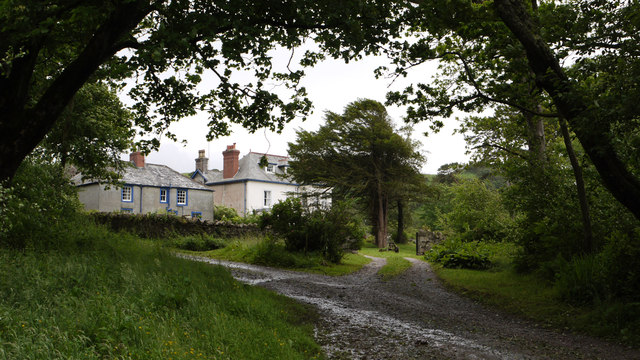
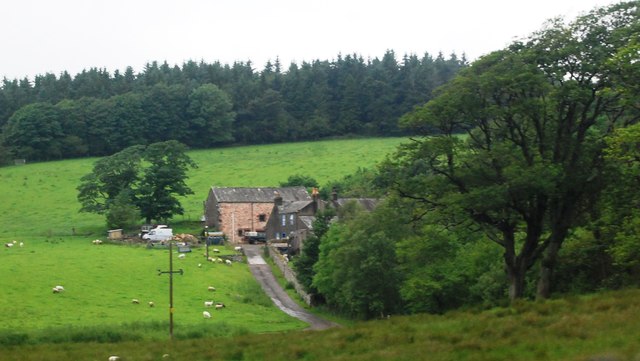
Muncaster
Muncaster is a civil parish in Cumbria, North West England. The parish is 41 miles (66 km) south west of the city of Carlisle, in the Copeland district...

Muncaster Castle
Muncaster Castle is a privately owned castle overlooking the River Esk, about a mile east of the west-coastal town of Ravenglass in Cumbria, England. It...

St John's Church, Waberthwaite
St John's Church is situated on the south bank of the River Esk in the hamlet of Hall Waberthwaite in the former civil parish of Waberthwaite (now part...

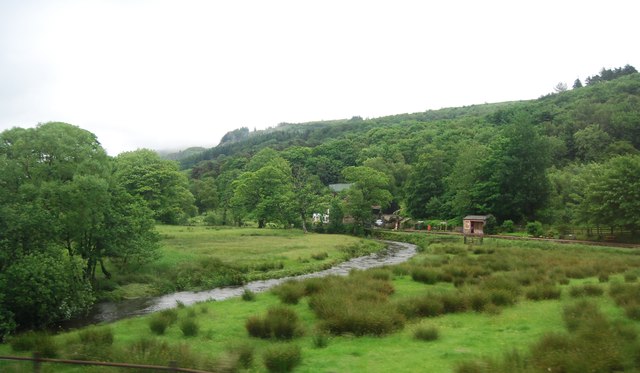
Miteside Halt railway station
Miteside Halt railway station is a railway station on the 15" gauge Ravenglass & Eskdale Railway in Cumbria, England. It is located where public footpath...

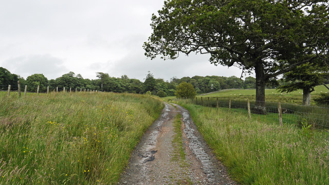
Muncaster Fell
Muncaster Fell is a fell at the far western edge of the Lake District National Park, in Cumbria, England. Muncaster Fell is a long, narrow ridge of land...

Muncaster Mill railway station
Muncaster Mill railway station is a railway station on the 15 in (381 mm) gauge Ravenglass & Eskdale Railway in Cumbria, England. The station is located...

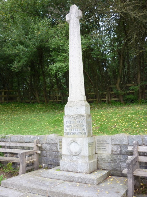
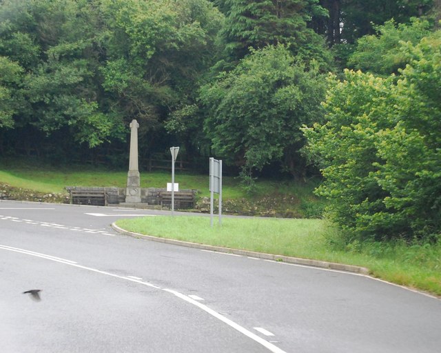
Muncaster War Memorial
Muncaster War Memorial is a First World War memorial in the parish of Muncaster on the west coast of Cumbria in the far north-west of England. The memorial...
Related Videos

Muncaster Castle and Gardens
ROYL check out the amazing Muncaster Castle and Gardens.

The Eastern Hadrianic Way: Hiking the Rugged Heart of The Lake District. Hiking & Wild Camping.
In September 2021, my brother and I hiked the Eastern Hadrianic Way in 2 days, covering almost 30 miles of steep mountain ...

#travel #adventure #MUNCASTERcastle #LakeDistrict #Owl #Birdshow Muncaster Castle Adventure 13Oct20
Welcome to my channel. I am a 3 year old vlogger. Please like/follow my facebook page: https://www.facebook.com/BritFil.

a day in Muncaster Castle| our honeymoon across Lake District | Camping | best honeymoon place
On day 2 Neil and I went to a beautiful castle in Ravenglass. We had a great time there. We enjoyed learning a bit of history ...
Nearby Amenities
Located within 500m of 54.355954,-3.3708441Have you been to Eskholme Marsh?
Leave your review of Eskholme Marsh below (or comments, questions and feedback).