Abercorn Point

Coastal Marsh, Saltings in West Lothian

Scotland

Abercorn Point

Houses near Abercorn Church
Houses near Abercorn Church Credit: Mike Pennington

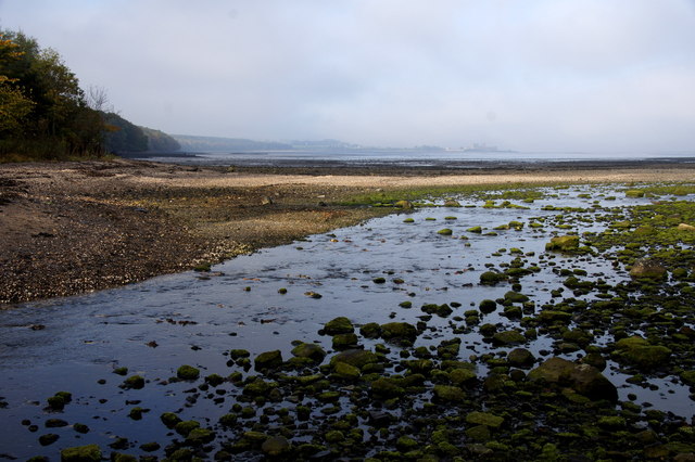
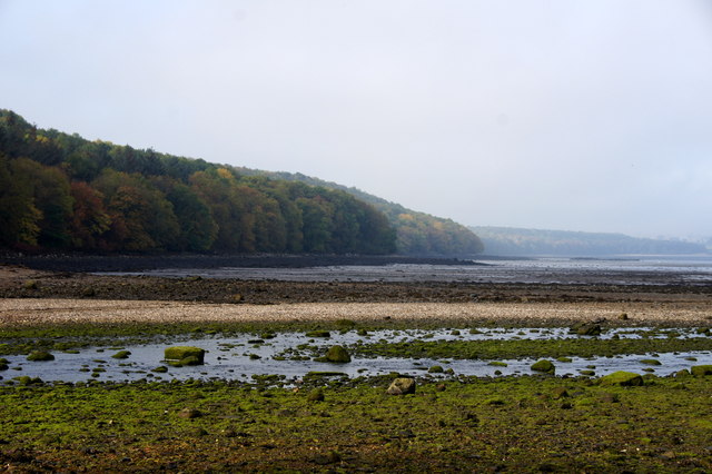
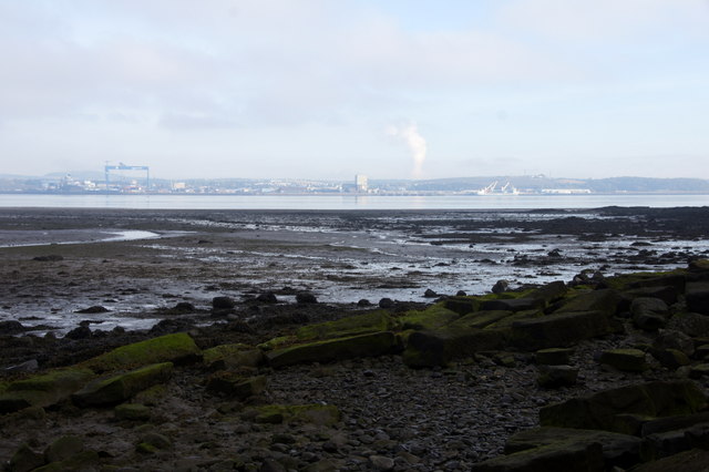
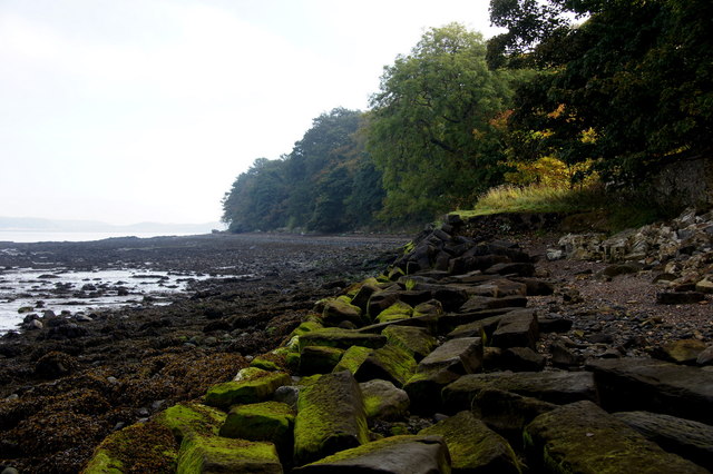
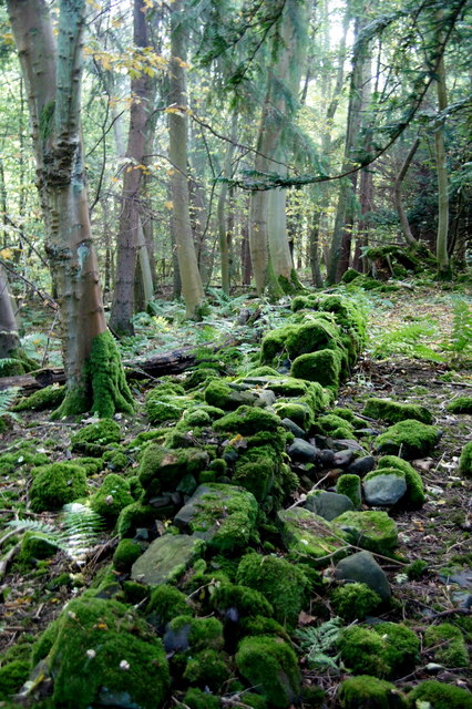
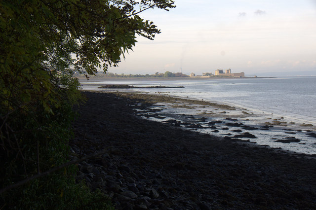
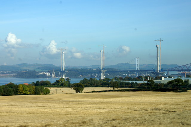
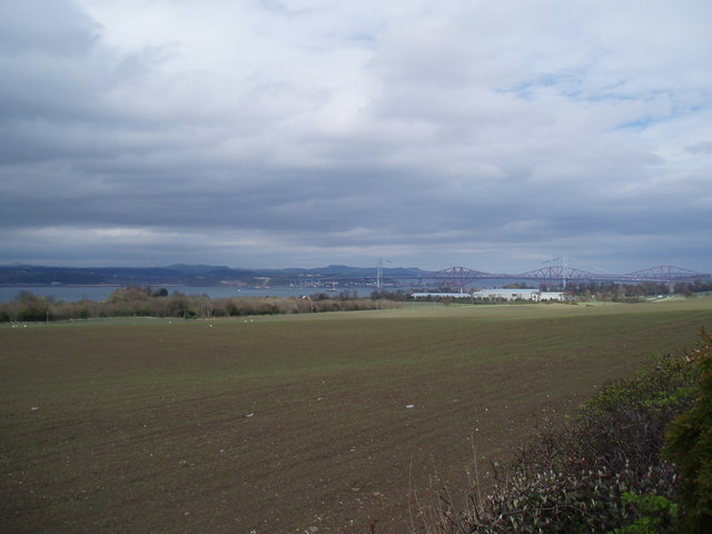
Abercorn Point is a coastal marsh located in West Lothian, Scotland. Situated along the southern shore of the Firth of Forth, it is known for its unique saltings ecosystem. The area is characterized by its vast expanses of tidal flats and marshlands, which are influenced by the ebb and flow of the tide.

The coastal marsh of Abercorn Point is rich in biodiversity, attracting a wide variety of plant and animal species. The saltings, a type of coastal wetland, provide an ideal habitat for numerous wading birds, including redshanks, curlews, oystercatchers, and dunlins. These birds can often be observed foraging for food among the mudflats and shallow pools.

In addition to its avian residents, Abercorn Point is home to a diverse range of plant life. Saltmarsh grasses, such as sea purslane and sea aster, thrive in the brackish water and alkaline soils of the marsh, offering food and shelter to numerous insects and invertebrates.

The marshland also serves as an important site for nature conservation. It is designated as a Site of Special Scientific Interest (SSSI) due to its ecological significance. The area is protected to ensure the preservation of its unique habitats and species.

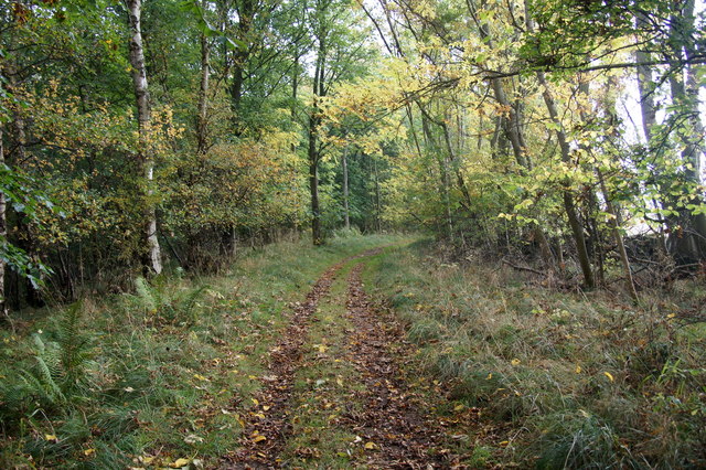
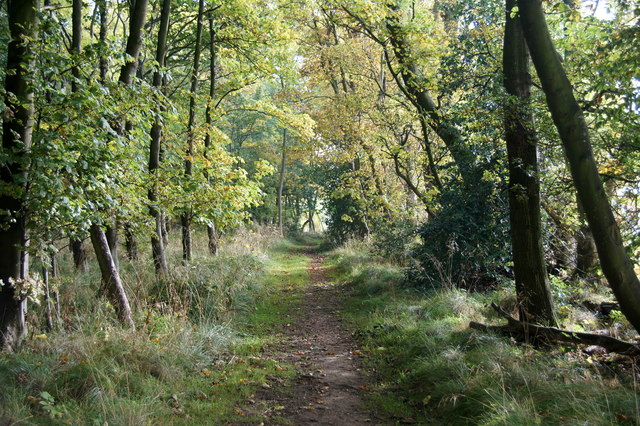
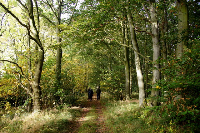
Visitors to Abercorn Point can enjoy peaceful walks along the shoreline, taking in the breathtaking views of the Firth of Forth and the surrounding countryside. The area offers a tranquil escape from the hustle and bustle of nearby urban centers, providing an opportunity to connect with nature and appreciate the beauty of this coastal marsh.

If you have any feedback on the listing, please let us know in the comments section below.

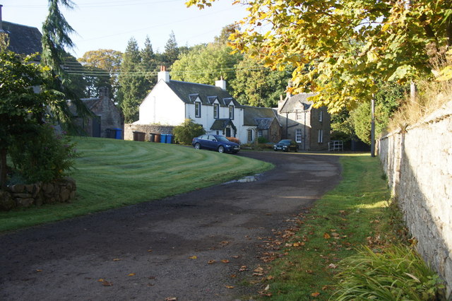
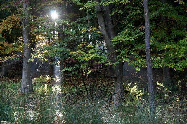
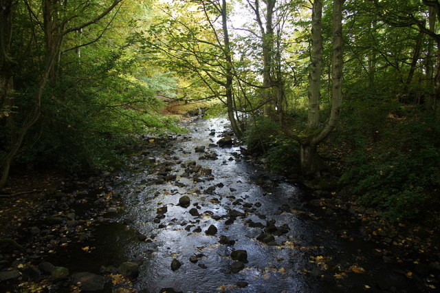
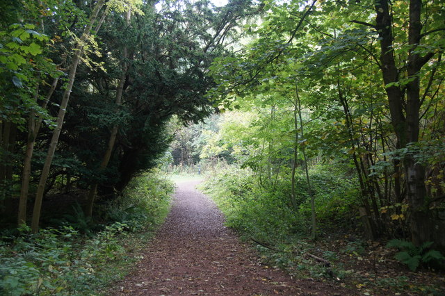
Abercorn Point Images

Images are sourced within 2km of 55.99976/-3.4701806 or Grid Reference NT0879. Thanks to Geograph Open Source API. All images are credited.

Houses near Abercorn Church
Woodland beside Midhope Burn, Abercorn
Midhope Burn at Abercorn
John Muir Trail over the Nethermill Bridge at Abercorn
Midhope Burn flowing into the Firth of Forth at Abercorn In the distance is Blackness Castle.
Midhope Burn flowing into the Firth of Forth at Abercorn
In the distance is Blackness Castle.
Beach below Westershore Wood, Abercorn
Shore of the Firth of Forth at Abercorn Looking across to Rosyth.
Shore of the Firth of Forth at Abercorn
Looking across to Rosyth.
Coastline of the Firth of Forth at Abercorn Point
Old wall in woodland beside the Midhope Burn at Abercorn
Path in Westershore Wood between Abercorn and Blackness
Walking in Westershore Wood between Abercorn and Blackness
Shoreline below Westershore Wood, near Abercorn Looking towards Blackness Castle.
Shoreline below Westershore Wood, near Abercorn
Looking towards Blackness Castle.
View of the Forth Crossings from Newton The second roadbridge is now beginning to take shape.
View of the Forth Crossings from Newton
The second roadbridge is now beginning to take shape.
Farmland near Newton
Road at Society Near the road end on the road along the south side of the Firth of Forth.
Road at Society
Near the road end on the road along the south side of the Firth of Forth.
Viewpoint on the A904 Looking towards two of the bridges crossing the Firth of Forth.
The closer bridge is the Queensferry crossing, a 2,700 metres (8,858 ft) cable-stayed bridge, due to open in 2016 at an estimated cost of £1.35 billion.
Behind it is the Forth Road Bridge, a 2,512 m (8,241 ft) suspension bridge opened in 1964.
Viewpoint on the A904
Looking towards two of the bridges crossing the Firth of Forth. The closer bridge is the Queensferry crossing, a 2,700 metres (8,858 ft) cable-stayed bridge, due to open in 2016 at an estimated cost of £1.35 billion. Behind it is the Forth Road Bridge, a 2,512 m (8,241 ft) suspension bridge opened in 1964.
Justice Stone This large stone is at the side of a track within the Hopetoun Wood. It stands approximately 3 feet high and when viewed from the track it resembles a mossy log but the opposite side of the stone is cleaner. For further information see <span class="nowrap"><a title="https://canmore.org.uk/site/49173/hopetoun-wood-justice-stone" rel="nofollow ugc noopener" href="https://canmore.org.uk/site/49173/hopetoun-wood-justice-stone">Link</a><img style="margin-left:2px;" alt="External link" title="External link - shift click to open in new window" src="https://s1.geograph.org.uk/img/external.png" width="10" height="10"/></span>
Justice Stone
This large stone is at the side of a track within the Hopetoun Wood. It stands approximately 3 feet high and when viewed from the track it resembles a mossy log but the opposite side of the stone is cleaner. For further information see LinkExternal link
Show me another place!

Abercorn Point is located at Grid Ref: NT0879 (Lat: 55.99976, Lng: -3.4701806)

Unitary Authority: West Lothian

Police Authority: The Lothians and Scottish Borders

What 3 Words

///recur.patting.mentions. Near Limekilns, Fife

Related Wikis

Abercorn Castle

Abercorn Castle was a 12th-century castle near Abercorn in West Lothian, Scotland. == History == The castle was in the possession of William de Avenel...

Hopetoun House

Hopetoun House is a country house near South Queensferry owned by the Hopetoun House Preservation Trust, a charity established in 1974 to preserve the...
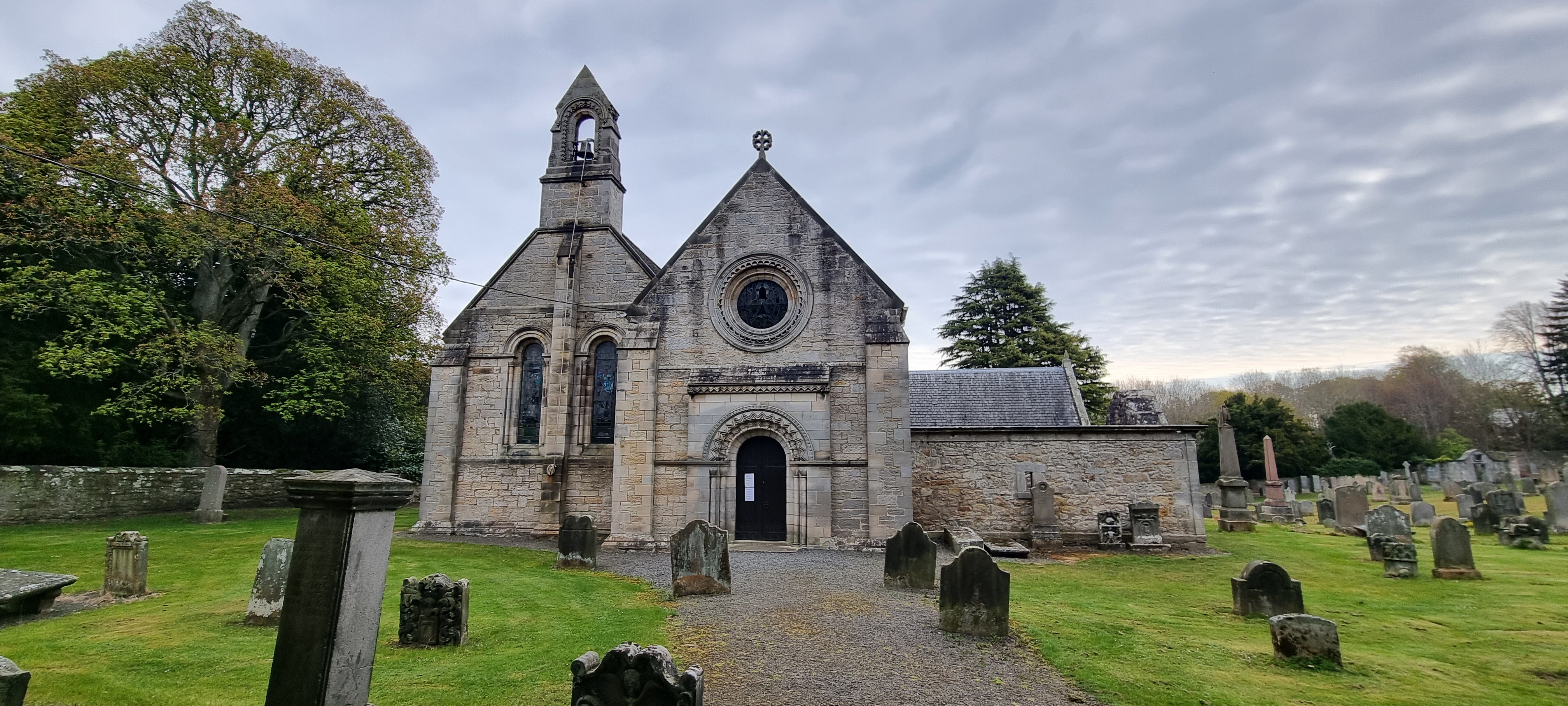
Abercorn

Abercorn (Gaelic: Obar Chùirnidh, Old English: Æbbercurnig) is a village and civil parish in West Lothian, Scotland. Close to the south coast of the Firth...
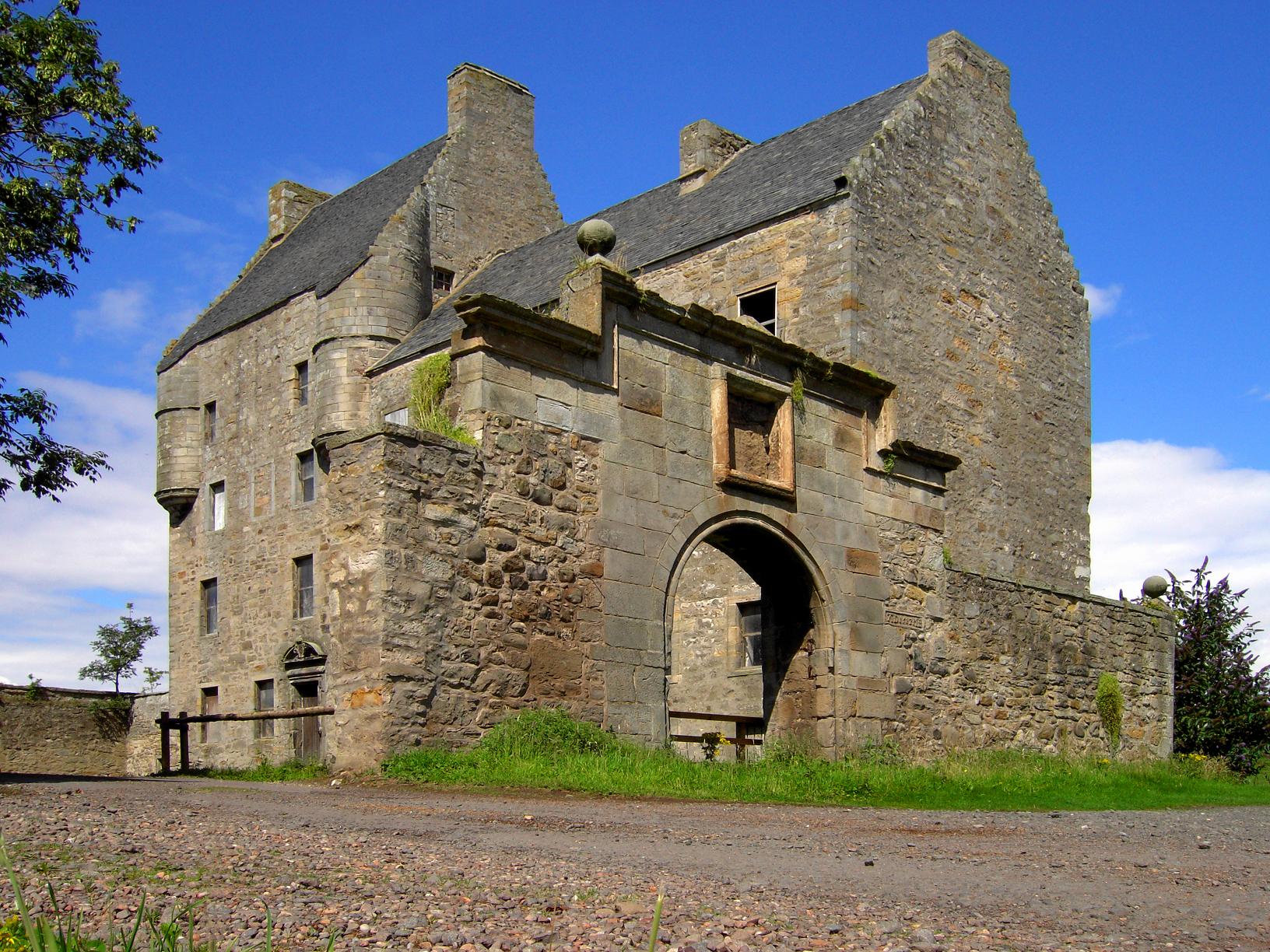
Midhope Castle

Midhope Castle is a 15th-century tower house in Scotland. It is situated in the hamlet of Abercorn on the Hopetoun estate, About 4 kilometres (2.5 mi)...

Nearby Amenities

Located within 500m of 55.99976,-3.4701806
Ruined wall
Access: no
Historic: ruins
Lat/Long: 55.9972649/-3.4726533
Ford: yes
Lat/Long: 55.9969572/-3.47584
Access: no
Barrier: kissing_gate
Locked: yes
Lat/Long: 55.997175/-3.4748447
The data included in this document is from www.openstreetmap.org. The data is made available under ODbL.

Have you been to Abercorn Point?

Leave your review of Abercorn Point below (or comments, questions and feedback).