Bruce Haven
Coastal Marsh, Saltings in Fife
Scotland
Bruce Haven
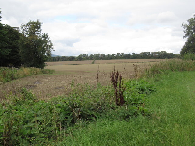
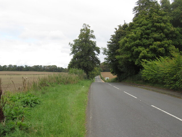
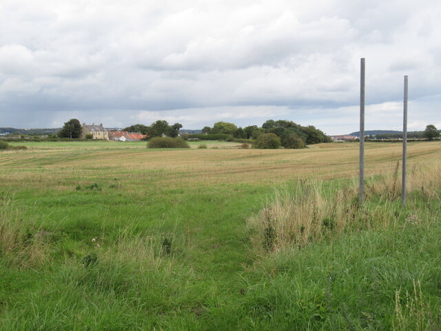
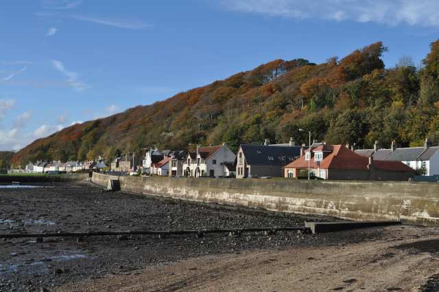
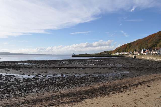
Bruce Haven, located in Fife, Scotland, is a coastal marsh and saltings area that boasts a unique and diverse ecosystem. Stretching along the Firth of Forth, this picturesque landscape is renowned for its rich biodiversity and stunning natural beauty.
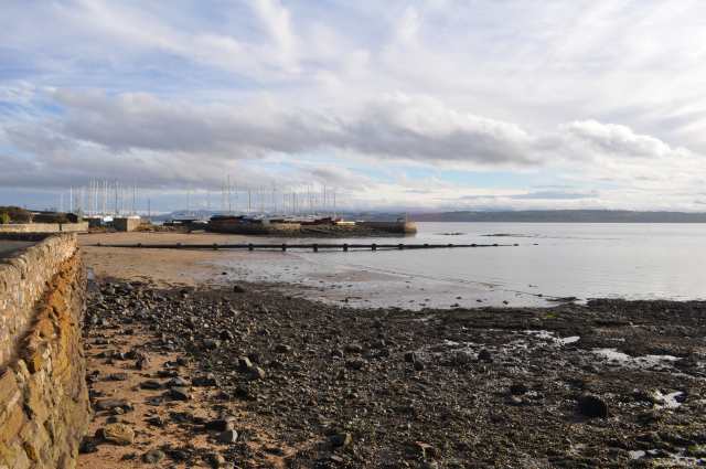
The marshland of Bruce Haven is characterized by its vast expanse of salt marshes and mudflats, which are regularly flooded by the tides. This tidal action brings in nutrient-rich sediments from the nearby river estuaries, creating an ideal habitat for a wide variety of plant and animal species.
The vegetation in the area is predominantly salt-tolerant, consisting of saltmarsh grasses, samphire, sea lavender, and various types of sedges. These plants not only provide shelter and food for numerous bird species but also help stabilize the marshland, preventing erosion.
Bruce Haven is a haven for birdwatchers and ornithologists, as it attracts a plethora of migratory and resident bird species throughout the year. The marshes provide an important feeding ground for wading birds such as redshanks, lapwings, oystercatchers, and curlews. The mudflats are also frequented by a variety of waterfowl, including teal, wigeon, and shelducks.
In addition to its avian inhabitants, the marshland is home to a range of other wildlife. Otters can often be spotted along the shoreline, while seals bask on the sandbanks during low tide. The nutrient-rich waters attract a diverse array of fish, making it an ideal fishing spot for both anglers and birds of prey.
Overall, Bruce Haven is a stunning coastal marsh and saltings area that offers visitors a chance to immerse themselves in the beauty of nature while observing a wide variety of unique plant and animal life.
If you have any feedback on the listing, please let us know in the comments section below.
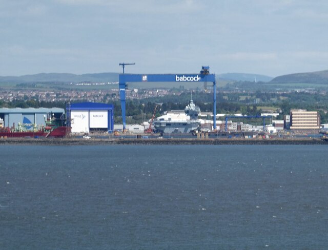
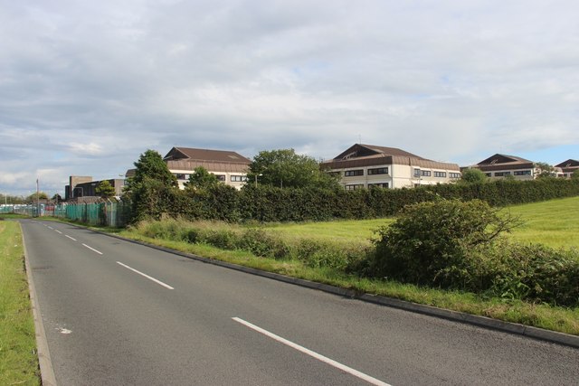
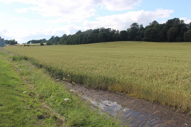
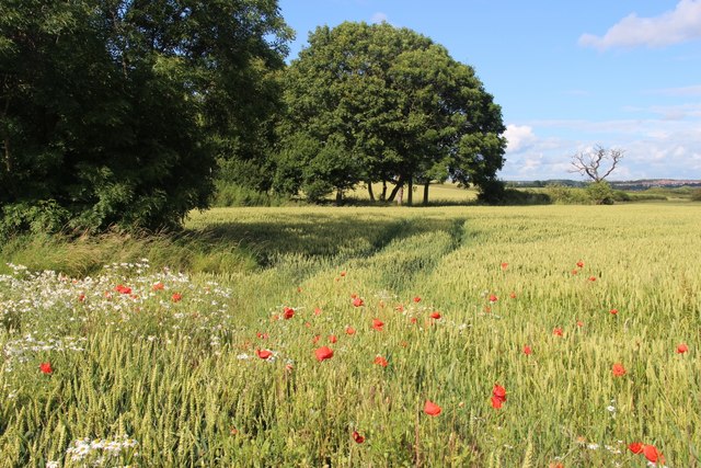
Bruce Haven Images
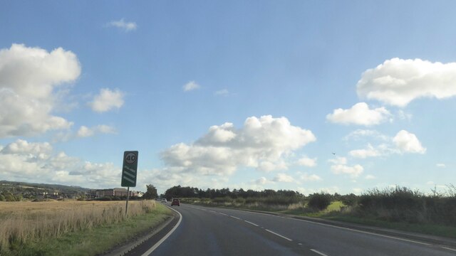
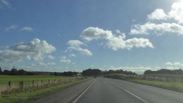
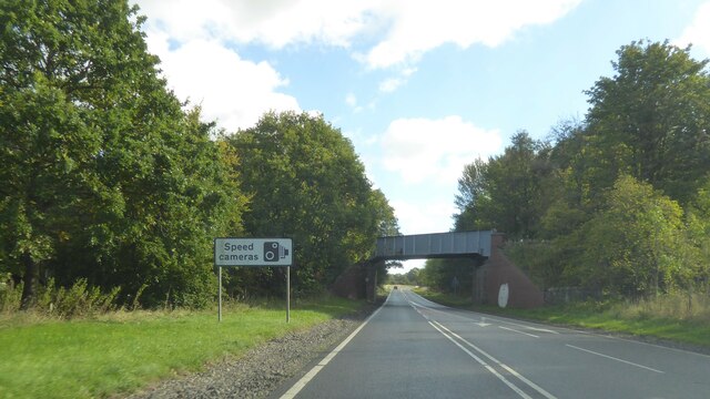
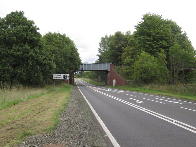
Images are sourced within 2km of 56.030761/-3.4769117 or Grid Reference NT0882. Thanks to Geograph Open Source API. All images are credited.
Bruce Haven is located at Grid Ref: NT0882 (Lat: 56.030761, Lng: -3.4769117)
Unitary Authority: Fife
Police Authority: Fife
What 3 Words
///exists.gaps.aboard. Near Limekilns, Fife
Nearby Locations
Related Wikis
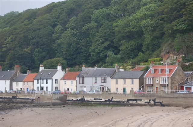
Limekilns
Limekilns is a village in Fife, Scotland. It lies on the shore of the Firth of Forth, around 3 miles (5 km) south of Dunfermline. == History and economy... ==

Broomhall House
Broomhall House is the family seat of the Earls of Elgin, three miles (4.8 kilometres) south-west of Dunfermline, sitting above the village of Limekilns...
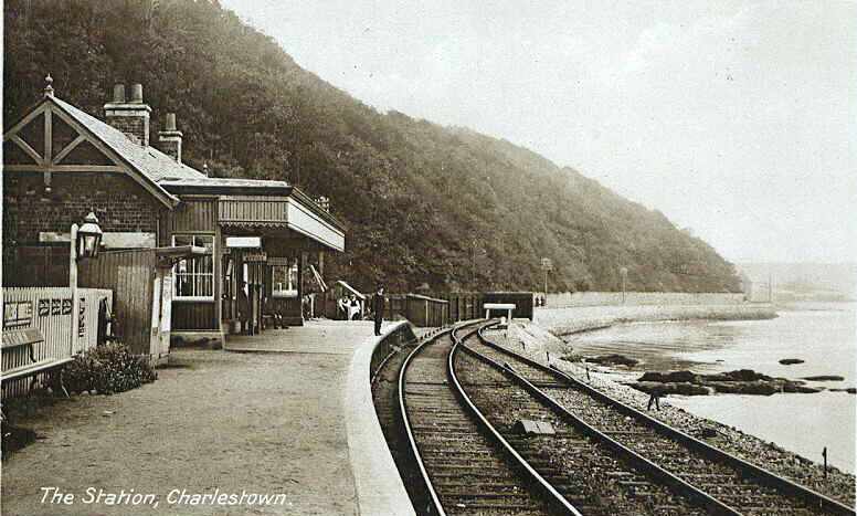
Charlestown (KL) railway station
Charlestown railway station served the town of Charlestown, Fife, Scotland from 1894 to 1926 on the Kincardine Line. == History == The station opened on...
Pattiesmuir
Pattiesmuir (formerly Pettimuir, Pettymuir and also known as Patiemuir, Patiesmuir and Peattie Muir) is a small, dormitory hamlet located in the west of...
Nearby Amenities
Located within 500m of 56.030761,-3.4769117Have you been to Bruce Haven?
Leave your review of Bruce Haven below (or comments, questions and feedback).