Bottom
Coastal Marsh, Saltings in Flintshire
Wales
Bottom
Bottom is a small coastal village located in Flintshire, Wales. It is known for its beautiful marshes and saltings, which provide a unique habitat for a variety of plant and animal species. The village is situated near the Dee Estuary, offering stunning views of the water and surrounding marshland.
The marshes in Bottom are characterized by their rich biodiversity, with a mix of saltwater and freshwater plants thriving in the muddy terrain. This ecosystem supports a range of bird species, including wading birds such as herons, egrets, and oystercatchers. Visitors to Bottom can often spot these birds feeding in the shallow waters or flying overhead.
The saltings in Bottom are also a key feature of the landscape, providing a valuable habitat for salt-tolerant plants and invertebrates. The unique combination of marshes and saltings in Bottom makes it a popular destination for nature enthusiasts and birdwatchers.
In addition to its natural beauty, Bottom also offers opportunities for outdoor recreation such as hiking, birdwatching, and photography. The village has a small community of residents who take pride in preserving the natural environment and welcoming visitors to explore the marshes and saltings.
If you have any feedback on the listing, please let us know in the comments section below.
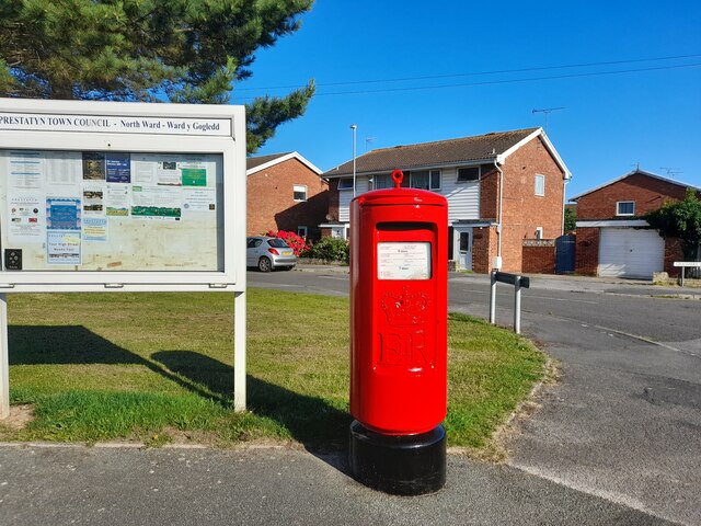
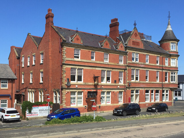
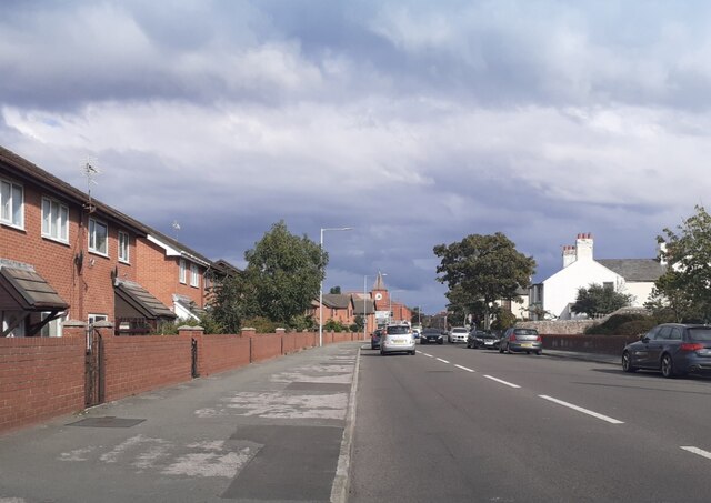
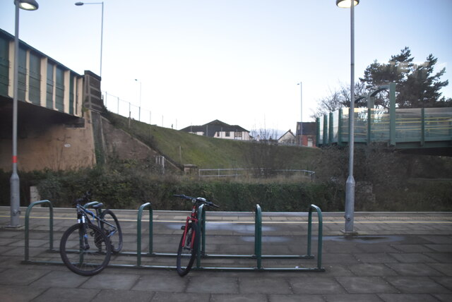
Bottom Images
Images are sourced within 2km of 53.338392/-3.4291675 or Grid Reference SJ0483. Thanks to Geograph Open Source API. All images are credited.


Bottom is located at Grid Ref: SJ0483 (Lat: 53.338392, Lng: -3.4291675)
Unitary Authority: Denbighshire
Police Authority: North Wales
What 3 Words
///vent.factored.escape. Near Prestatyn, Denbighshire
Nearby Locations
Related Wikis

Prestatyn North
Prestatyn North is the name of one of the electoral wards of the town of Prestatyn, Denbighshire, Wales. It covers the northwest part of the town, either...

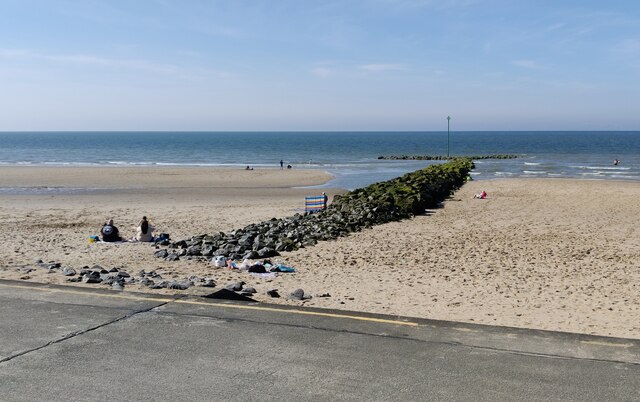
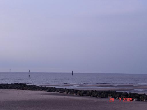
Ffrith Beach
Ffrith Beach, Prestatyn, Denbighshire, North Wales is one of three sandy beaches along the Prestatyn coastline - Barkby Beach, Central Beach and Ffrith...
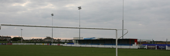
Bastion Road
Bastion Road, also known as Bastion Gardens, is a football stadium in Prestatyn, Wales. It is currently used for football matches and is the home ground...

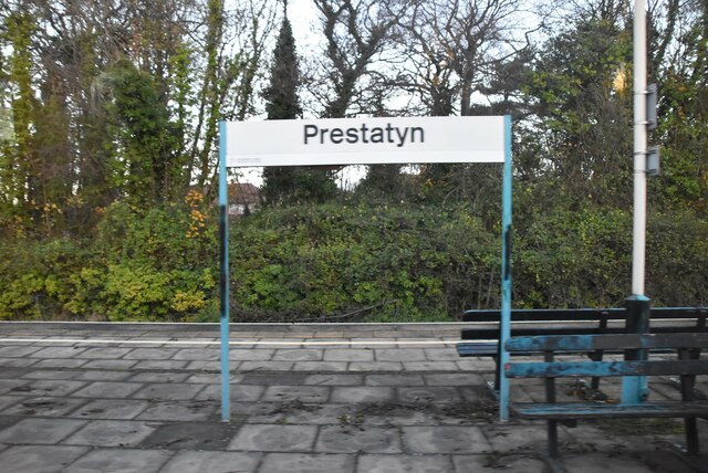
Prestatyn railway station
Prestatyn railway station on the North Wales Coast Line serves the town of Prestatyn in North Wales. The station was built on the Chester and Holyhead...
Nearby Amenities
Located within 500m of 53.338392,-3.4291675Have you been to Bottom?
Leave your review of Bottom below (or comments, questions and feedback).