Ffrith Beach
Beach in Flintshire
Wales
Ffrith Beach
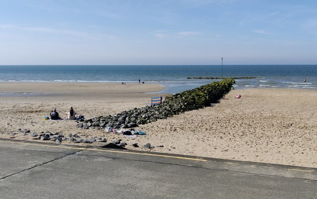
Ffrith Beach, located in Flintshire, Wales, is a picturesque sandy beach that stretches along the coast of the Irish Sea. With its stunning views and tranquil surroundings, it attracts visitors from near and far.
The beach offers a wide range of amenities and facilities to cater to the needs of its visitors. There is ample parking available nearby, making it easily accessible for those traveling by car. Additionally, Ffrith Beach boasts well-maintained public toilets and changing facilities, ensuring a comfortable experience for beachgoers.
The beach itself is known for its soft golden sand, which is perfect for sunbathing, building sandcastles, or simply taking a leisurely stroll along the shore. The waters are relatively calm, making it a great spot for swimming or paddling, especially for families with young children.
For those seeking more active pursuits, Ffrith Beach offers various water sports opportunities, including kayaking, paddleboarding, and windsurfing. Lifeguards are also on duty during peak times, ensuring the safety of all water enthusiasts.
Adjacent to the beach, there is a well-maintained promenade that provides a fantastic vantage point to admire the stunning coastal views. It is lined with cafes, restaurants, and ice cream parlors, offering a wide selection of refreshments and snacks to satisfy any craving.
Overall, Ffrith Beach in Flintshire truly offers something for everyone, whether you're looking for a relaxing day in the sun or an action-packed water sports adventure. Its beautiful surroundings and excellent facilities make it a must-visit destination for beach lovers of all ages.
If you have any feedback on the listing, please let us know in the comments section below.
Ffrith Beach Images
Images are sourced within 2km of 53.338935/-3.434803 or Grid Reference SJ0483. Thanks to Geograph Open Source API. All images are credited.


Ffrith Beach is located at Grid Ref: SJ0483 (Lat: 53.338935, Lng: -3.434803)
Unitary Authority: Denbighshire
Police Authority: North Wales
Also known as: Traeth Ffrith
What 3 Words
///hacksaw.pods.refills. Near Prestatyn, Denbighshire
Nearby Locations
Related Wikis

Ffrith Beach
Ffrith Beach, Prestatyn, Denbighshire, North Wales is one of three sandy beaches along the Prestatyn coastline - Barkby Beach, Central Beach and Ffrith...

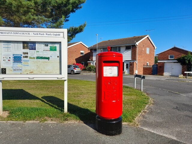
Prestatyn North
Prestatyn North is the name of one of the electoral wards of the town of Prestatyn, Denbighshire, Wales. It covers the northwest part of the town, either...
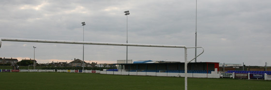
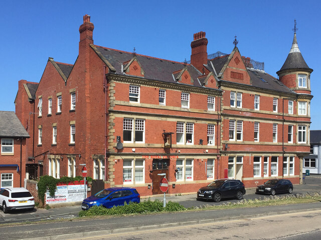
Bastion Road
Bastion Road, also known as Bastion Gardens, is a football stadium in Prestatyn, Wales. It is currently used for football matches and is the home ground...

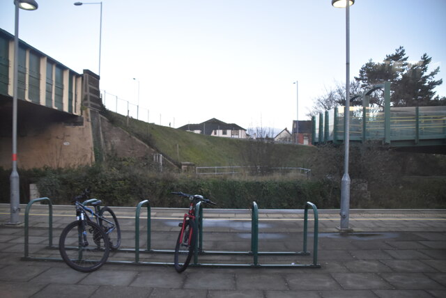
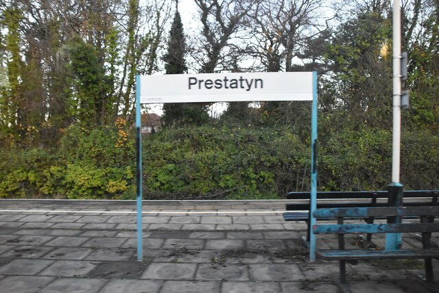
Prestatyn railway station
Prestatyn railway station on the North Wales Coast Line serves the town of Prestatyn in North Wales. The station was built on the Chester and Holyhead...
Nearby Amenities
Located within 500m of 53.338935,-3.434803Have you been to Ffrith Beach?
Leave your review of Ffrith Beach below (or comments, questions and feedback).