Blackslade Mire
Coastal Marsh, Saltings in Devon Teignbridge
England
Blackslade Mire

Blackslade Mire is a coastal marsh located in the county of Devon, England. Situated on the southern coast, it lies near the village of Salcombe, in an area known for its stunning natural beauty. The mire stretches across a vast expanse of approximately 500 acres, making it one of the largest marshlands in the region.
Characterized by its diverse ecosystem, Blackslade Mire is a haven for numerous species of flora and fauna. The marshland is home to an array of plant life, including distinctive wetland species such as reeds, sedges, and rushes. These plants thrive in the marshy, waterlogged soil, creating a lush and verdant landscape.
The rich biodiversity of Blackslade Mire extends beyond its plant life. The marshland provides crucial habitats for a variety of animal species, including rare and protected birds. Visitors may spot the elegant avocet, the elusive bittern, or the graceful egret, among other avian residents. The marshes also support an assortment of invertebrates, amphibians, and small mammals, adding to the area's ecological significance.
The landscape of Blackslade Mire is characterized by its low-lying, gently undulating terrain. A network of streams and channels weaves through the marsh, creating a unique mosaic of waterways and wetlands. These channels are influenced by the tidal movements of nearby sea, resulting in a dynamic and ever-changing environment.
The marshes of Blackslade Mire are an important part of Devon's natural heritage. They offer visitors a chance to immerse themselves in the tranquility of a coastal marshland, observe a diverse range of wildlife, and appreciate the delicate balance of nature.
If you have any feedback on the listing, please let us know in the comments section below.
Blackslade Mire Images
Images are sourced within 2km of 50.565301/-3.7845628 or Grid Reference SX7375. Thanks to Geograph Open Source API. All images are credited.


Blackslade Mire is located at Grid Ref: SX7375 (Lat: 50.565301, Lng: -3.7845628)
Administrative County: Devon
District: Teignbridge
Police Authority: Devon and Cornwall
What 3 Words
///cadet.glue.screamed. Near Ashburton, Devon
Nearby Locations
Related Wikis

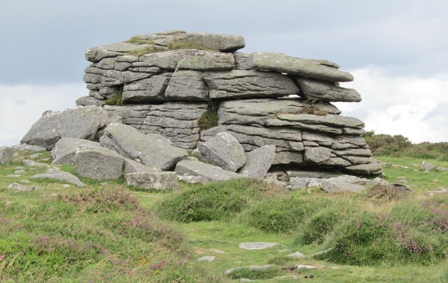
Pil Tor
Pil Tor is a granite tor on the eastern edge of Dartmoor, England. It sits at a height of around 420 metres (1,380 ft). == References ==
Rippon Tor
Rippon Tor is a striking tor on eastern Dartmoor, in England, that stands at 473 metres (1,552 ft) above sea level. It has three cairns, of which are some...
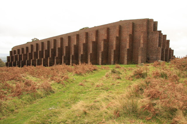
Rippon Tor Rifle Range
Rippon Tor Rifle Range is a disused rifle range from World War II on Dartmoor, Devon, England. The range is situated southeast of the 473 m high Rippon...

Church of Saint Pancras, Widecombe-in-the-Moor
The Church of Saint Pancras is a Church of England church in Widecombe-in-the-Moor, Devon, England. It is also known as the Cathedral of the Moor. The...
Nearby Amenities
Located within 500m of 50.565301,-3.7845628Have you been to Blackslade Mire?
Leave your review of Blackslade Mire below (or comments, questions and feedback).