Manxman's Lake
Coastal Marsh, Saltings in Kirkcudbrightshire
Scotland
Manxman's Lake

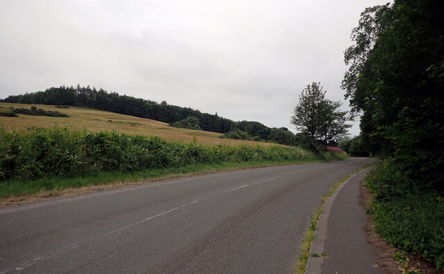
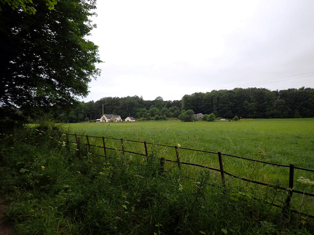
Manxman's Lake is a coastal marsh located in Kirkcudbrightshire, Scotland. Situated near the town of Kirkcudbright, this unique natural feature is a designated special area of conservation due to its importance for wildlife and its ecological significance.
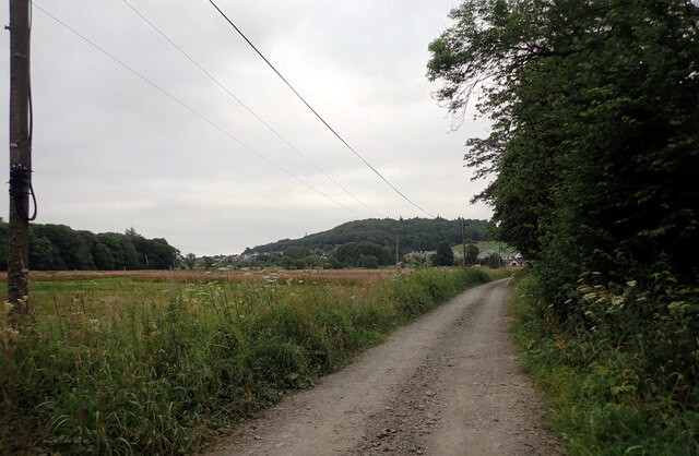
The lake is situated in a low-lying area, bordered by the Solway Firth on one side and the surrounding marshes on the other. It is primarily fed by freshwater streams and rainwater runoff, creating a brackish environment that is home to a diverse range of flora and fauna.
The vegetation surrounding Manxman's Lake is predominantly salt-tolerant, consisting of saltmarsh grasses, reeds, and rushes. These plants provide important habitats for various species of birds, insects, and small mammals. The lake itself supports a rich array of aquatic life, including fish, mollusks, and crustaceans.
Birdwatchers flock to Manxman's Lake to observe the numerous species of waterfowl that inhabit the area. Common sightings include curlews, oystercatchers, herons, and various species of ducks and geese. The lake also acts as a stopover for migratory birds, making it an important site for conservation efforts.
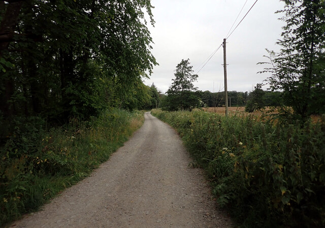
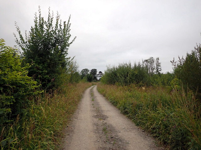
Visitors to Manxman's Lake can enjoy scenic walks along its shores, taking in the stunning views of the surrounding marshland and the Solway Firth. The area is also popular among nature enthusiasts, photographers, and those seeking a tranquil escape in a unique natural setting.
In conclusion, Manxman's Lake in Kirkcudbrightshire is a coastal marsh of ecological importance, providing a haven for diverse flora and fauna. Its scenic beauty and abundant wildlife make it a must-visit destination for nature lovers.
If you have any feedback on the listing, please let us know in the comments section below.
Manxman's Lake Images
Images are sourced within 2km of 54.810365/-4.0596214 or Grid Reference NX6748. Thanks to Geograph Open Source API. All images are credited.


Manxman's Lake is located at Grid Ref: NX6748 (Lat: 54.810365, Lng: -4.0596214)
Unitary Authority: Dumfries and Galloway
Police Authority: Dumfries and Galloway
What 3 Words
///pursuing.scrapped.digests. Near Kirkcudbright, Dumfries & Galloway
Nearby Locations
Related Wikis

River Dee, Galloway
The River Dee (Scottish Gaelic: Dè / Uisge Dhè), in south-west Scotland, flows from its source in Loch Dee amongst the Galloway Hills, firstly to Clatteringshaws...

Kirkcudbright
Kirkcudbright ( kur-KOO-bree; Scots: Kirkcoubrie; Scottish Gaelic: Cille Chùithbeirt) is a town, parish and a Royal Burgh from 1455 in Kirkcudbrightshire...

St Cuthbert Wanderers F.C.
Saint Cuthbert Wanderers Football Club are a football club from the town of Kirkcudbright in the Stewartry in Galloway, Scotland. They play in the South...

Kirkcudbright Hospital
Kirkcudbright Hospital is a health facility in Barrhill Road, Kirkcudbright, Dumfries and Galloway, Scotland. It is managed by NHS Dumfries and Galloway...
Kirkcudbright Castle
Kirkcudbright Castle, was a castle that was located on the banks of the River Dee, in Kirkcudbright, Scotland.A motte and bailey castle was built in the...
Kirkcudbright Academy
Kirkcudbright Academy is a state funded, six-year secondary school in Kirkcudbright, Scotland with about 400 pupils and 87 staff including teaching, support...
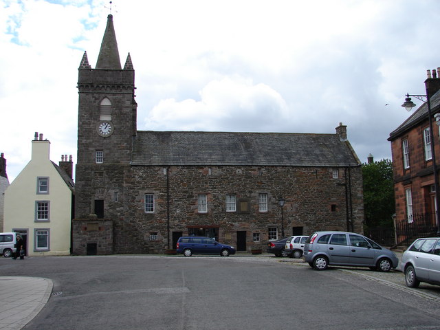
Kirkcudbright Tolbooth
Kirkcudbright Tolbooth is a historic municipal building in Kirkcudbright in Dumfries and Galloway, Scotland. Built between 1627 and 1629 to serve the town...

County Buildings, Kirkcudbright
County Buildings is a municipal building in Kirkcudbright, in the Dumfries and Galloway council area in Scotland. It was originally two houses on High...
Have you been to Manxman's Lake?
Leave your review of Manxman's Lake below (or comments, questions and feedback).