Torgorm Point

Coastal Marsh, Saltings in Ross-shire

Scotland

Torgorm Point

Waiting to be fed Sheep waiting for the arrival of the shepherd on Ashley Farm on the Black Isle.
Waiting to be fed Credit: Ibby MacIver

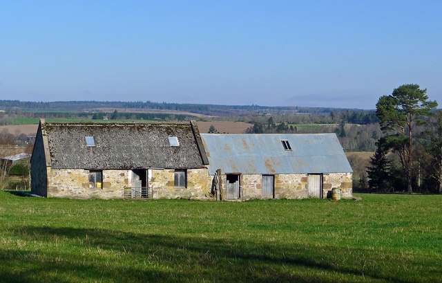
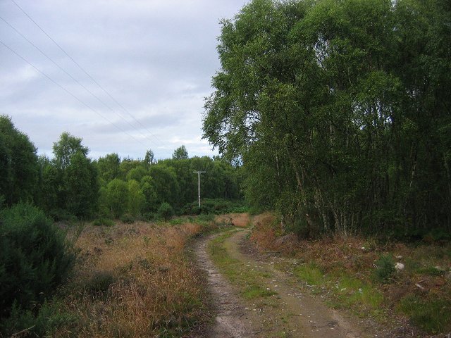
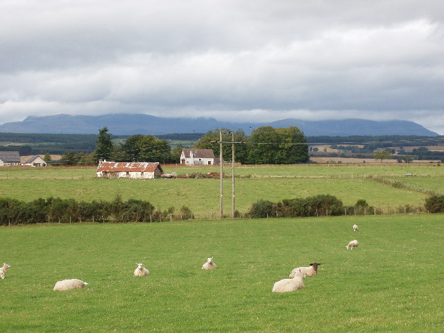
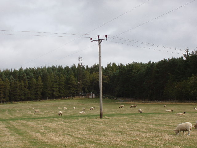
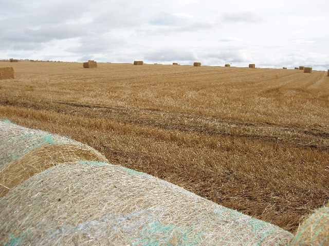
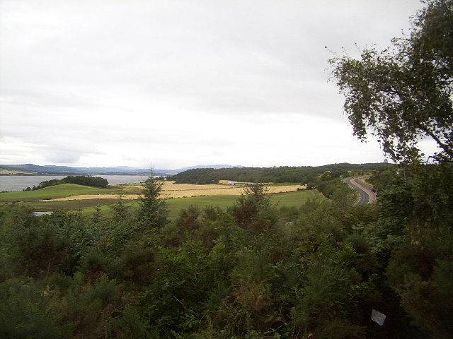
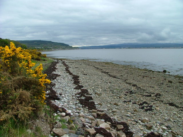
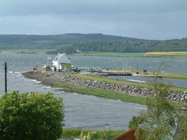
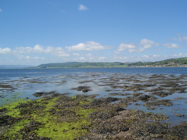
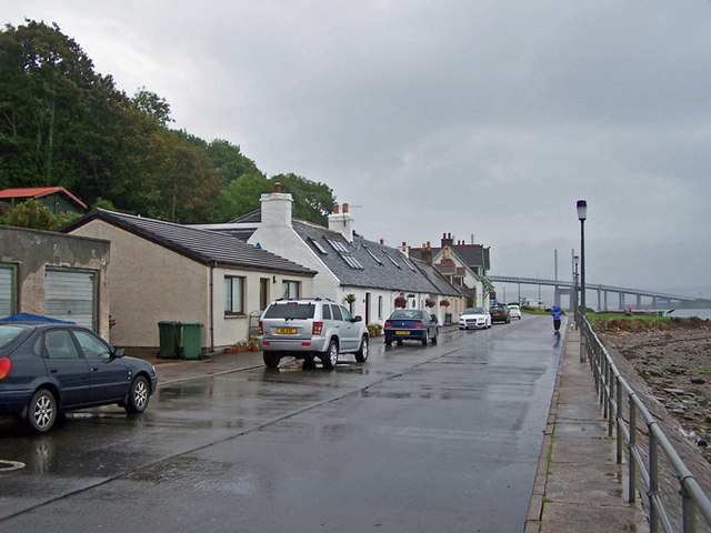
Torgorm Point is a coastal marsh located in Ross-shire, Scotland. The area is characterized by its vast expanse of salt marshes and saltings, which are important habitats for a variety of plant and animal species. The marshland is situated on the edge of the Cromarty Firth, providing a unique ecosystem that is influenced by the tides of the North Sea.

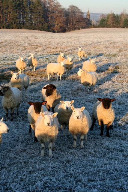
Torgorm Point is a designated Site of Special Scientific Interest (SSSI) due to its ecological significance. The marshes provide a valuable breeding ground for numerous bird species, including waders such as redshank and curlew, as well as waterfowl like teal and mallard. The salt marshes also support a diverse range of plant life, including sea lavender, sea aster, and thrift.

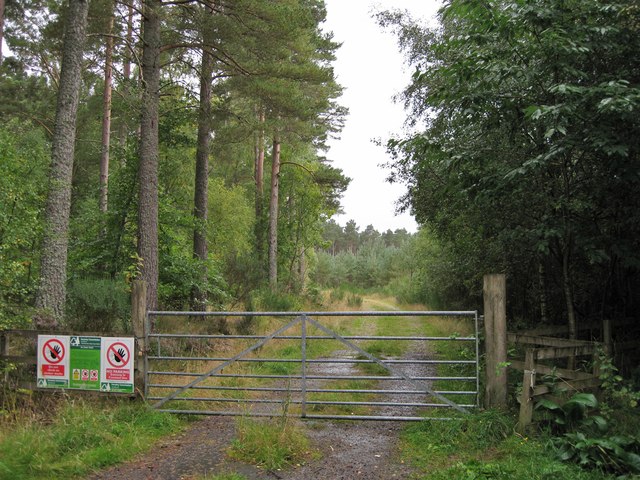
Visitors to Torgorm Point can enjoy exploring the coastal marshes and observing the wildlife that calls this area home. The expansive views of the Cromarty Firth and the surrounding countryside make Torgorm Point a popular destination for nature enthusiasts and birdwatchers. The marshland is also a peaceful retreat for those looking to escape the hustle and bustle of urban life and immerse themselves in the beauty of the natural world.

If you have any feedback on the listing, please let us know in the comments section below.

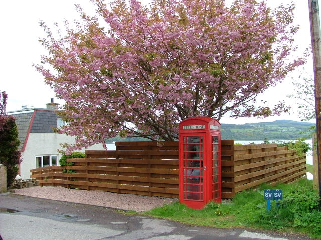
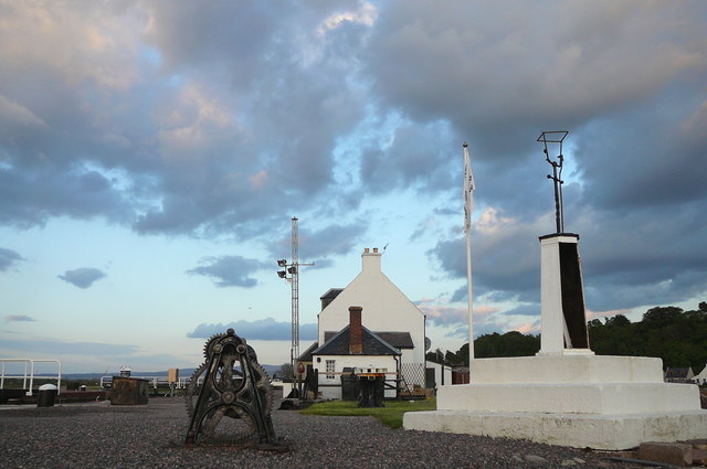
Torgorm Point Images

Images are sourced within 2km of 57.504065/-4.2802861 or Grid Reference NH6348. Thanks to Geograph Open Source API. All images are credited.

Waiting to be fed Sheep waiting for the arrival of the shepherd on Ashley Farm on the Black Isle.
Waiting to be fed
Sheep waiting for the arrival of the shepherd on Ashley Farm on the Black Isle.
Farm outbuildings near Allanglachwood These buildings have seen better days and by the quality of the grass outside them I feel they are seldom used
Farm outbuildings near Allanglachwood
These buildings have seen better days and by the quality of the grass outside them I feel they are seldom used
Barns in a field The larger of the two buildings is the right shape and size to have at one time have been a dwelling, though it looks like it has never had a chimney.
Barns in a field
The larger of the two buildings is the right shape and size to have at one time have been a dwelling, though it looks like it has never had a chimney.
Track entrance Gated entrance to a short track into a Forestry Commission plantation.
Track entrance
Gated entrance to a short track into a Forestry Commission plantation.
Old farm buildings by Allanglach These buildings suggest to me that the surrounding field was once a stand alone croft.  It seems to have been assumed into a larger holding with the result that the buildings have been neglected.
Old farm buildings by Allanglach
These buildings suggest to me that the surrounding field was once a stand alone croft. It seems to have been assumed into a larger holding with the result that the buildings have been neglected.
Clachnaharry Sea Lock Clachnaharry Sea Lock is at the eastern end of the Caledonian Canal, near Inverness.
Clachnaharry Sea Lock
Clachnaharry Sea Lock is at the eastern end of the Caledonian Canal, near Inverness.
Cnoc na h-Eireachd. Small Black Isle hill, now clothed in birchwoods. As usual in the Inverness area there are some new houses here. The summit is clear of trees, and buried in gorse.
Cnoc na h-Eireachd.
Small Black Isle hill, now clothed in birchwoods. As usual in the Inverness area there are some new houses here. The summit is clear of trees, and buried in gorse.
Highland Agriculture Agriculture near Coldwell Farm on the Black Isle. There is a fairly even split on this part of the "Isle" (really a peninsula) between arable land and (mostly rough) grazing. In the background you can see the forests of the Mulbuie ridge, which gave the Black Isle its name, due to the apparent blackness of the heather that originally covered it. Behind that lies the Ben Wyvis massif <a href="https://www.geograph.org.uk/gridref/NH4668">NH4668</a>, as usual shrouded in cloud.
Highland Agriculture
Agriculture near Coldwell Farm on the Black Isle. There is a fairly even split on this part of the "Isle" (really a peninsula) between arable land and (mostly rough) grazing. In the background you can see the forests of the Mulbuie ridge, which gave the Black Isle its name, due to the apparent blackness of the heather that originally covered it. Behind that lies the Ben Wyvis massif NH4668, as usual shrouded in cloud.
Farmland and Modernisation Looking up from Coldwell Farm towards Drumsmittal Hill. Among the sheep and trees lie arguably two of the most controversial topics in the region - communications masts and pylons.... Ok, so it's not exactly a pylon, but I thought I'd make a point!
Farmland and Modernisation
Looking up from Coldwell Farm towards Drumsmittal Hill. Among the sheep and trees lie arguably two of the most controversial topics in the region - communications masts and pylons.... Ok, so it's not exactly a pylon, but I thought I'd make a point!
Harvest time on the Black Isle Arable agriculture plays a supporting role to sheep and cattle farming this far north, with hay bales retreating to lower altitudes with more fertile soils. This photo was taken just after harvest time, with the square bales still to be collected and brought in.
Harvest time on the Black Isle
Arable agriculture plays a supporting role to sheep and cattle farming this far north, with hay bales retreating to lower altitudes with more fertile soils. This photo was taken just after harvest time, with the square bales still to be collected and brought in.
Beauly Firth and A9 Taken near Coldwells, this picture shows the Beauly Firth on the left and the A9 on the right. The Black Isle was changed forever in 1982 when the Kessock Bridge <a href="https://www.geograph.org.uk/photo/14348">NH6647 : Kessock Bridge</a> was built and cut the journey from the Black Isle to Inverness. Previously, travellers would either have to skirt the far end of the Beauly Firth or take the Kessock Ferry.
Beauly Firth and A9
Taken near Coldwells, this picture shows the Beauly Firth on the left and the A9 on the right. The Black Isle was changed forever in 1982 when the Kessock Bridge NH6647 : Kessock Bridge was built and cut the journey from the Black Isle to Inverness. Previously, travellers would either have to skirt the far end of the Beauly Firth or take the Kessock Ferry.
Shoreline on Coulmore Bay With the Kessock Bridge in the distance.
Shoreline on Coulmore Bay
With the Kessock Bridge in the distance.
Oilseed Rape Field Looking towards Lettoch
Oilseed Rape Field
Looking towards Lettoch
Charlestown Village by the side of the Beauly Firth
Charlestown
Village by the side of the Beauly Firth
Telephone Box In the village of Charlestown
Telephone Box
In the village of Charlestown
Clachnaharry The sea lock at the very end of the Caledonian Canal
Clachnaharry
The sea lock at the very end of the Caledonian Canal
Clachnaharry - The Lockkeeper's House The eastern end of Thomas Telford's Caledonian canal looking back toward the Muirtown Basin.
Clachnaharry - The Lockkeeper's House
The eastern end of Thomas Telford's Caledonian canal looking back toward the Muirtown Basin.
End of the line? This is as far out onto the spit as the incoming tide would allow.  It was quite a hairy walk out this far, with sinking sands and squelchy seaweed masking hidden rocks.  But I was determined to log it!
End of the line?
This is as far out onto the spit as the incoming tide would allow. It was quite a hairy walk out this far, with sinking sands and squelchy seaweed masking hidden rocks. But I was determined to log it!
Show me another place!

Torgorm Point is located at Grid Ref: NH6348 (Lat: 57.504065, Lng: -4.2802861)

Unitary Authority: Highland

Police Authority: Highlands and Islands

What 3 Words

///bride.scrubber.prompting. Near Inverness, Highland

Nearby Locations

Torgorm Point

Related Wikis

Croftnacreich

Croftnacreich () is a hamlet on the Black Isle, in Ross and Cromarty in the Highland council area of Scotland. It is one mile (1.6 km) north-west of North...

Charlestown, Black Isle

Charleston is a village on the north shore of the Beauly Firth, about 1 mile west of the Kessock Bridge, in east Ross-shire, Scottish Highlands, within...

Artafallie

Artafallie (Scottish Gaelic: Àirde Fàillidh) is a hamlet on the Black Isle, in the Highland council area of Scotland. It is about two km (1.2 mi) to the...

North Kessock

North Kessock (Gaelic: Ceasag a Tuath or Aiseag Cheasaig) is a village on the Black Isle north of Inverness. == Description == North Kessock is the first...

Nearby Amenities

Located within 500m of 57.504065,-4.2802861
Created By: almien_coastlines
Source: PGS
Lat/Long: 57.504265/-4.288626
Created By: almien_coastlines
Source: PGS
Lat/Long: 57.504269/-4.288151
Created By: almien_coastlines
Source: PGS
Lat/Long: 57.504028/-4.286715
Created By: almien_coastlines
Source: PGS
Lat/Long: 57.504043/-4.285289
Created By: almien_coastlines
Source: PGS
Lat/Long: 57.504047/-4.284813
Created By: almien_coastlines
Source: PGS
Lat/Long: 57.504052/-4.284338
Created By: almien_coastlines
Source: PGS
Lat/Long: 57.504332/-4.281969
Created By: almien_coastlines
Source: PGS
Lat/Long: 57.504337/-4.281494
Created By: almien_coastlines
Source: PGS
Lat/Long: 57.504096/-4.280058
Created By: almien_coastlines
Source: PGS
Lat/Long: 57.504129/-4.27673
Created By: almien_coastlines
Source: PGS
Lat/Long: 57.504144/-4.275303
Created By: almien_coastlines
Source: PGS
Lat/Long: 57.504149/-4.274828
Created By: almien_coastlines
Source: PGS
Lat/Long: 57.504158/-4.273877
Created By: almien_coastlines
Source: PGS
Lat/Long: 57.504424/-4.272935
Created By: almien_coastlines
Source: PGS
Lat/Long: 57.504555/-4.272703
Created By: almien_coastlines
Source: PGS
Lat/Long: 57.505069/-4.272482
Passing Place
Lat/Long: 57.5044485/-4.2767099
Passing Place
Lat/Long: 57.5045059/-4.2847688
Passing Place
Lat/Long: 57.5045426/-4.2782651
Passing Place
Lat/Long: 57.5045455/-4.2801436
Passing Place
Lat/Long: 57.5045779/-4.2824747
Power: pole
Lat/Long: 57.5050589/-4.2858943
Power: pole
Lat/Long: 57.5055865/-4.2858029
Power: pole
Lat/Long: 57.506391/-4.2856832
Power: pole
Lat/Long: 57.5068511/-4.2856142
The data included in this document is from www.openstreetmap.org. The data is made available under ODbL.

Have you been to Torgorm Point?

Leave your review of Torgorm Point below (or comments, questions and feedback).