Balconie Point

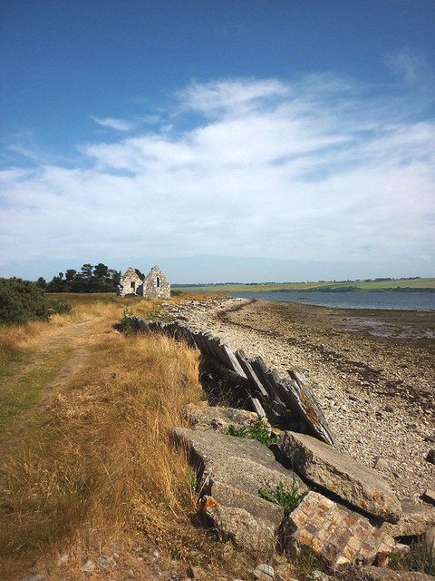
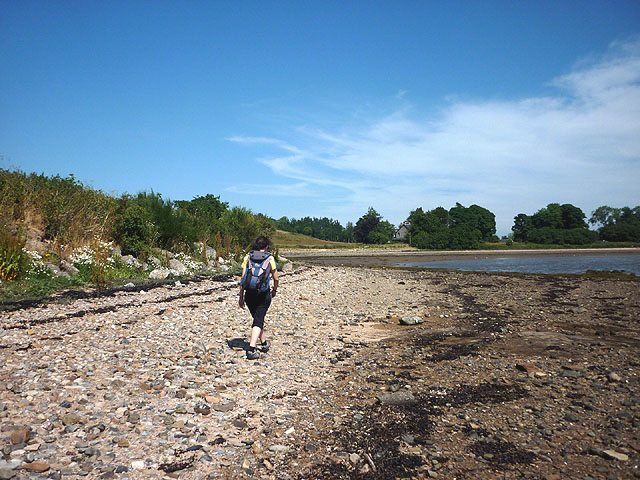
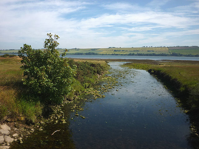
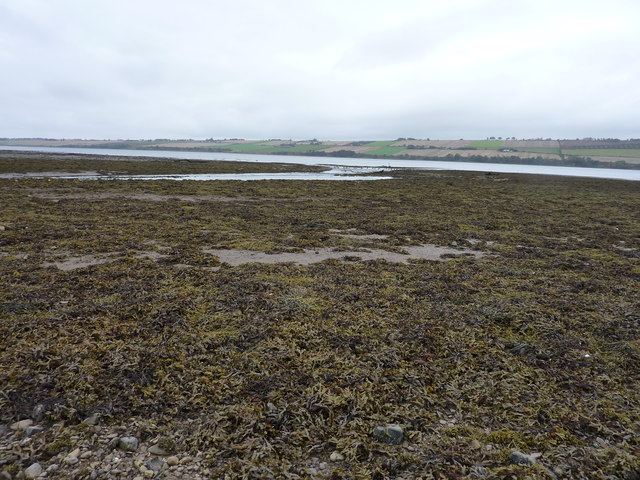
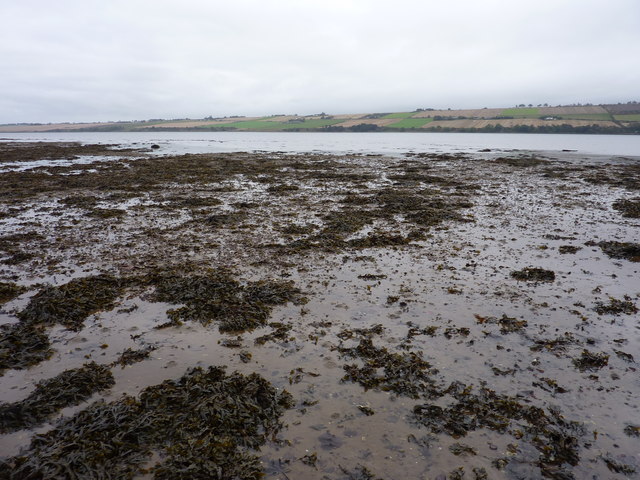
Coastal Marsh, Saltings in Ross-shire

Scotland

Balconie Point

Remains of Evanton Railway Station Closed June 1960
Remains of Evanton Railway Station Credit: Peter Moore

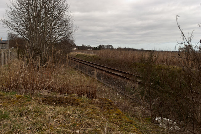
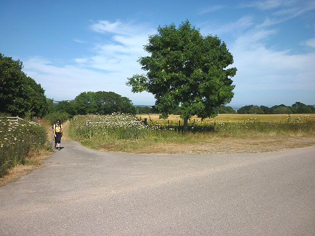
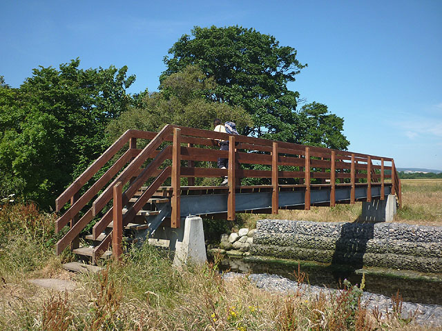
Balconie Point is a coastal area located in Ross-shire, Scotland. It is characterized by its marshes and saltings, which are important habitats for a variety of plant and animal species. The marshes are home to a diverse range of plant life, including salt-tolerant species such as sea lavender and sea purslane.

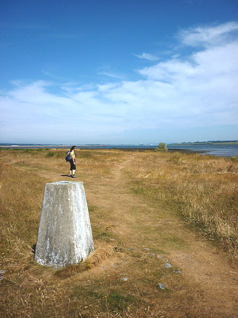
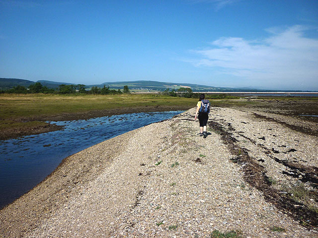
The saltings at Balconie Point are coastal wetlands that are flooded by the tides. They provide important feeding grounds for wading birds such as curlews, oystercatchers, and redshanks. The area is also frequented by migratory birds during the winter months.

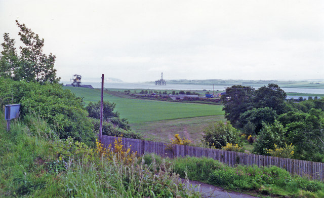
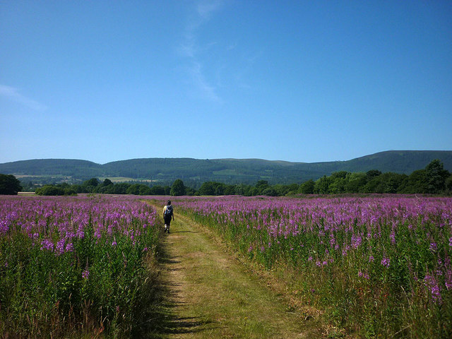
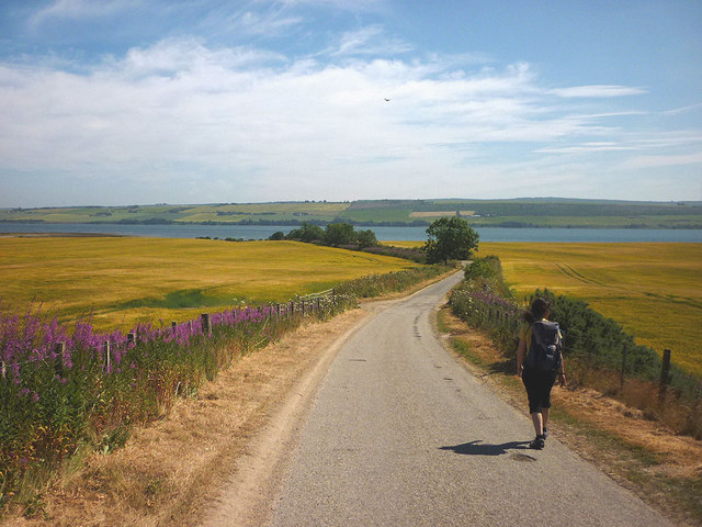
Balconie Point offers stunning views of the Cromarty Firth and the surrounding countryside. It is a popular spot for birdwatching, with many visitors coming to see the diverse range of bird species that can be found in the area.

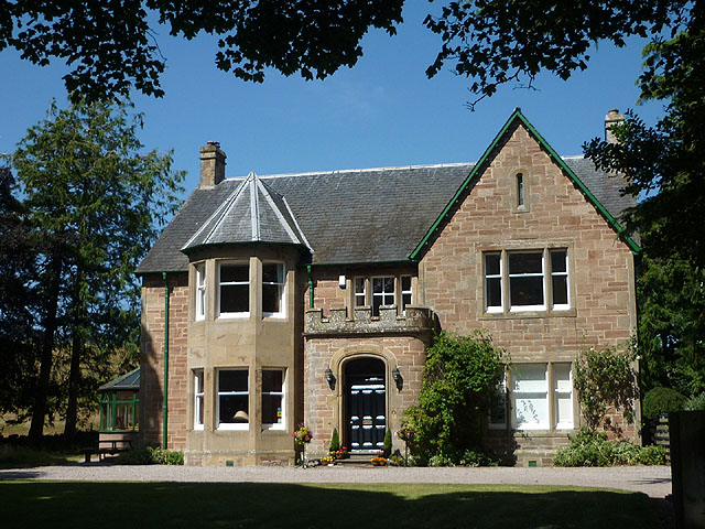
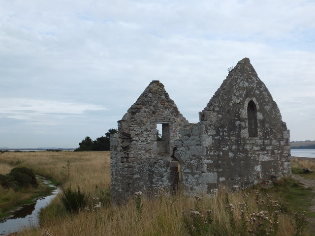
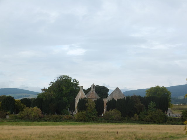
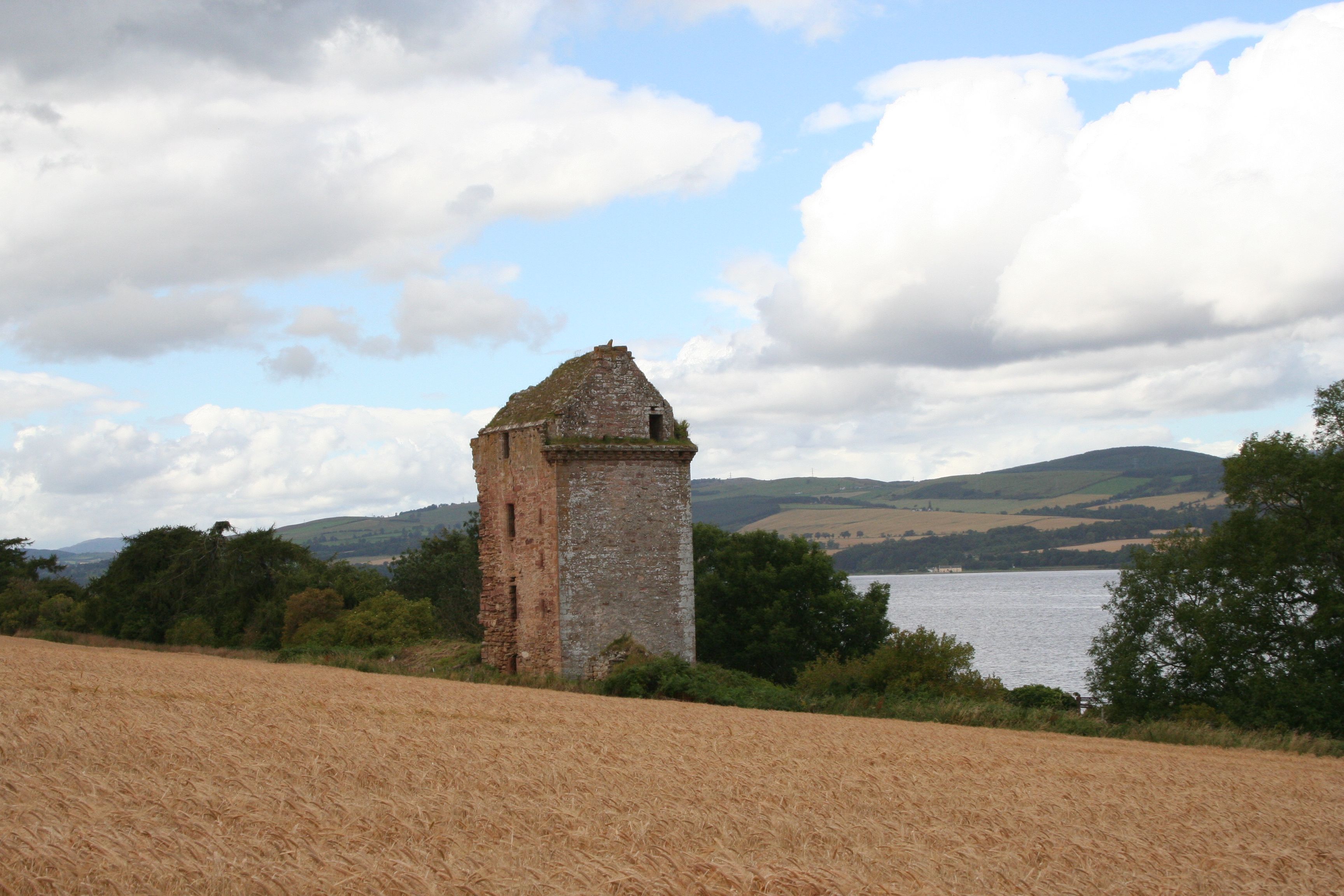
In addition to its natural beauty, Balconie Point is also of historical significance. The remains of a medieval castle can be found on the site, adding to the area's charm and appeal for visitors interested in history and archaeology. Overall, Balconie Point is a unique and special place that offers a rich blend of natural and cultural attractions for visitors to enjoy.

If you have any feedback on the listing, please let us know in the comments section below.

Balconie Point Images

Images are sourced within 2km of 57.656416/-4.3039216 or Grid Reference NH6265. Thanks to Geograph Open Source API. All images are credited.

Remains of Evanton Railway Station Closed June 1960
Remains of Evanton Railway Station
Closed June 1960
Back to the A9
Back to the A9
Blythswood - Main Hub
Site of Evanton station, 1994 View NE across the ex-Highland Railway Far North Line (in the foreground), across Alness Bay on Cromarty Firth towards Invergordon and across the disused airfield. In the distance can be seen a spare North Sea oil drigging platform. Evanton station ('Novar' until 6/37) had been closed to passengers 13/6/60, to goods 2/11/64, but the Far North Line has remained active.
Site of Evanton station, 1994
View NE across the ex-Highland Railway Far North Line (in the foreground), across Alness Bay on Cromarty Firth towards Invergordon and across the disused airfield. In the distance can be seen a spare North Sea oil drigging platform. Evanton station ('Novar' until 6/37) had been closed to passengers 13/6/60, to goods 2/11/64, but the Far North Line has remained active.
Ruin by the shore, Balconie Point A ruined, chapel-like structure hard by the shore of the Cromarty Firth near Evanton.
Ruin by the shore, Balconie Point
A ruined, chapel-like structure hard by the shore of the Cromarty Firth near Evanton.
Track through willowherb near the River Glass There was more willowherb here than either of us have ever seen before. It filled the fields.
Track through willowherb near the River Glass
There was more willowherb here than either of us have ever seen before. It filled the fields.
Heading for Kiltearn Beach Along a country lane near Evanton lined by ripening grain fields. The Cromarty Firth and Black Isle beyond.
Heading for Kiltearn Beach
Along a country lane near Evanton lined by ripening grain fields. The Cromarty Firth and Black Isle beyond.
Kiltearn Beach, Cromarty Firth
Track and road junction near Evanton sewage works
Trig pillar, Balconie Point According to OS data this pillar is only 3.764m asl but it hardly seems that. The grass is burnt yellow by the recent dry weather and high temperatures. One of the oil/gas rigs at Nigg Bay further along the Cromarty Firth is just visible left of the shoreline bush.
Trig pillar, Balconie Point
According to OS data this pillar is only 3.764m asl but it hardly seems that. The grass is burnt yellow by the recent dry weather and high temperatures. One of the oil/gas rigs at Nigg Bay further along the Cromarty Firth is just visible left of the shoreline bush.
Kiltearn House A former Church of Scotland Manse, now a 4-star guest house <span class="nowrap"><a title="http://www.kiltearn.co.uk/" rel="nofollow ugc noopener" href="http://www.kiltearn.co.uk/">Link</a><img style="margin-left:2px;" alt="External link" title="External link - shift click to open in new window" src="https://s1.geograph.org.uk/img/external.png" width="10" height="10"/></span>
Kiltearn House
A former Church of Scotland Manse, now a 4-star guest house LinkExternal link
Footbridge over the River Sgitheach, Kiltearn Ali has spotted several jellyfish in the small river which is tidal here just before it enters the Cromarty Firth.
Footbridge over the River Sgitheach, Kiltearn
Ali has spotted several jellyfish in the small river which is tidal here just before it enters the Cromarty Firth.
The River Sgitheach enters the Cromarty Firth at Kiltearn There were several jellyfish visible below the footbridge here. Across the firth is the Black Isle living up to its reputation as a sunny and dry part of Scotland.
The River Sgitheach enters the Cromarty Firth at Kiltearn
There were several jellyfish visible below the footbridge here. Across the firth is the Black Isle living up to its reputation as a sunny and dry part of Scotland.
At the end of the shingle spit, Balconie Point We realised here that we'd strayed off the intended route but easily waded across the tidal stream ahead of us.
At the end of the shingle spit, Balconie Point
We realised here that we'd strayed off the intended route but easily waded across the tidal stream ahead of us.
The mouth of the River Sgitheach The mud, although full of worms and shellfish, took my weight easily, having sufficient sand and stones. A small flock of birds is waiting at the mouth of the river.
The mouth of the River Sgitheach
The mud, although full of worms and shellfish, took my weight easily, having sufficient sand and stones. A small flock of birds is waiting at the mouth of the river.
Muddy foreshore at low tide, east of the mouth of the River Sgitheach In the background is the Black Isle.
Muddy foreshore at low tide, east of the mouth of the River Sgitheach
In the background is the Black Isle.
Ruined fishing station, Balconie Point
Old Kiltearn Parish Church The now ruined church dates from the 1790s and is said to be dedicated to St Tighernac.   The graveyard contains war graves from the 20th century as well as a number of 17th and 18th century gravestones.
Old Kiltearn Parish Church
The now ruined church dates from the 1790s and is said to be dedicated to St Tighernac. The graveyard contains war graves from the 20th century as well as a number of 17th and 18th century gravestones.
Show me another place!

Balconie Point is located at Grid Ref: NH6265 (Lat: 57.656416, Lng: -4.3039216)

Unitary Authority: Highland

Police Authority: Highlands and Islands

What 3 Words

///meanders.pull.cropping. Near Evanton, Highland

Nearby Locations

Balconie Point

Related Wikis

HMS Fieldfare

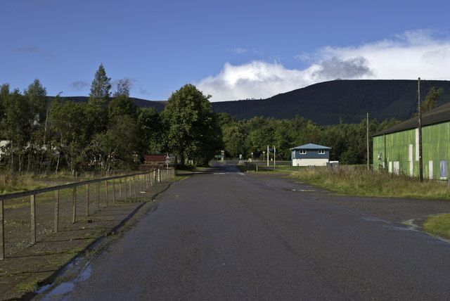
HMS Fieldfare also known as R.A.F. Landing Ground Novar, then RNAS Evanton and later as RAF Evanton, is a disused airfield in Ross and Cromarty, Scotland...
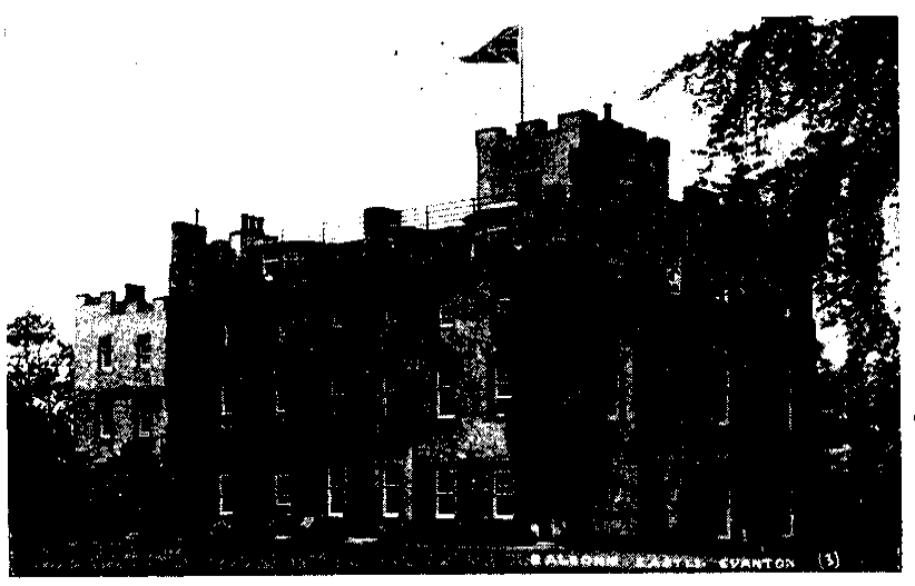
Balconie Castle

Balconie Castle (Scottish Gaelic: Bailcnidh) lay in the parish of Kiltearn, about 1⁄2 mile (800 metres) east of the village of Evanton in the Highlands...

Castlecraig

Castlecraig, also known as Craig Castle and Castle Craig, is a 16th-century fortification located on the north shore of the Black Isle in northern Scotland...

Evanton railway station

Evanton railway station was a railway station on the Inverness and Ross-shire Railway, on the Inverness to Dingwall section. It was situated to the east...

Nearby Amenities

Located within 500m of 57.656416,-4.3039216
Source: PGS
Lat/Long: 57.6557122/-4.3114566
Source: PGS
Lat/Long: 57.6559315/-4.3096774
Source: PGS
Lat/Long: 57.6559069/-4.3068853
Source: PGS
Lat/Long: 57.6559877/-4.305532
Source: PGS
Lat/Long: 57.6564306/-4.304586
Source: PGS
Lat/Long: 57.6566871/-4.3042181
Source: PGS
Lat/Long: 57.6569332/-4.3040145
Source: PGS
Lat/Long: 57.6571194/-4.3038568
Source: PGS
Lat/Long: 57.6573303/-4.3036728
Created By: almien_coastlines
Source: PGS
Lat/Long: 57.657475/-4.303607
Source: PGS
Lat/Long: 57.6578118/-4.3033838
Created By: almien_coastlines
Source: PGS
Lat/Long: 57.658123/-4.302914
Created By: almien_coastlines
Source: PGS
Lat/Long: 57.658253/-4.302679
Created By: almien_coastlines
Source: PGS
Lat/Long: 57.658383/-4.302446
Created By: almien_coastlines
Source: PGS
Lat/Long: 57.658639/-4.302455
Source: PGS
Lat/Long: 57.6588029/-4.3023984
Source: PGS
Lat/Long: 57.6588872/-4.3020305
Created By: almien_coastlines
Source: PGS
Lat/Long: 57.65903/-4.301752
Source: PGS
Lat/Long: 57.6589259/-4.3002698
Man Made: survey_point
Ref: S8267
Lat/Long: 57.6563402/-4.3061363
The data included in this document is from www.openstreetmap.org. The data is made available under ODbL.

Have you been to Balconie Point?

Leave your review of Balconie Point below (or comments, questions and feedback).