Broad Marsh
Coastal Marsh, Saltings in Devon West Devon
England
Broad Marsh
The requested URL returned error: 429 Too Many Requests
If you have any feedback on the listing, please let us know in the comments section below.
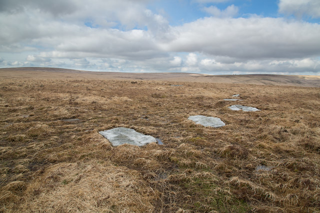
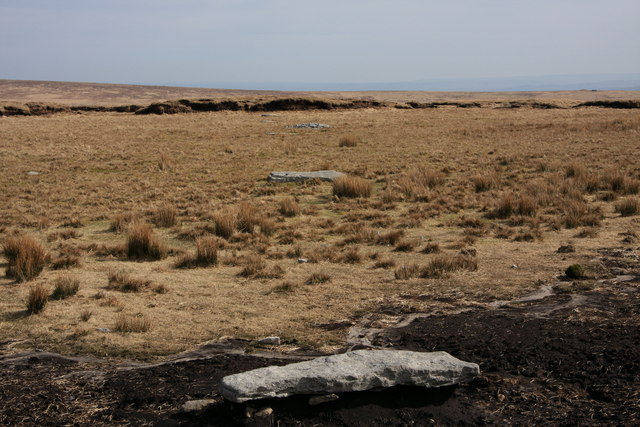
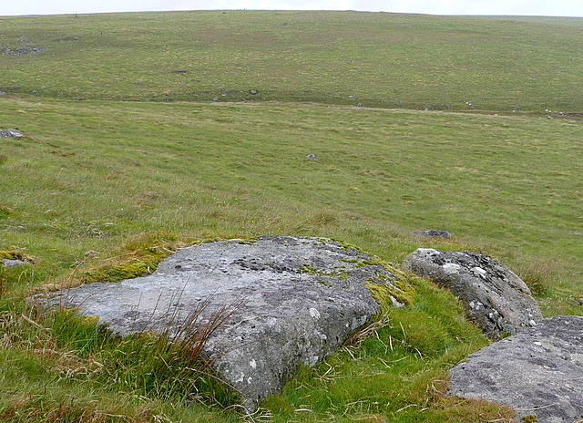
Broad Marsh Images
Images are sourced within 2km of 50.620321/-3.9566729 or Grid Reference SX6181. Thanks to Geograph Open Source API. All images are credited.


Broad Marsh is located at Grid Ref: SX6181 (Lat: 50.620321, Lng: -3.9566729)
Administrative County: Devon
District: West Devon
Police Authority: Devon and Cornwall
What 3 Words
///sampled.bulk.overpaid. Near Princetown, Devon
Nearby Locations
Related Wikis
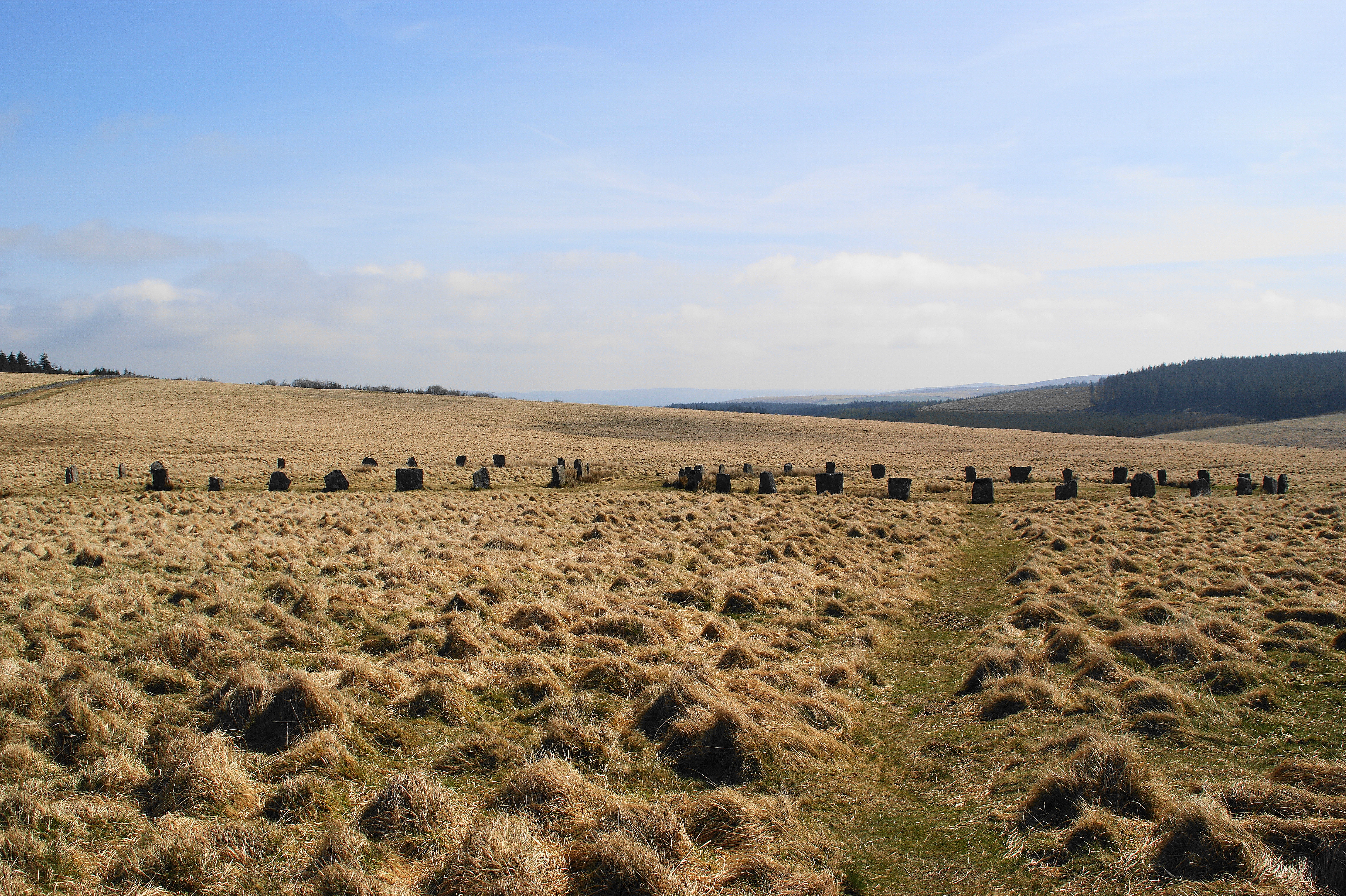
Grey Wethers
Grey Wethers consists of a pair of prehistoric stone circles, situated on grassy plateau to the north of Postbridge, Dartmoor, in the United Kingdom....

Dartmoor Forest
Dartmoor Forest is a civil parish in Devon, England. It was formed in 1987 by the splitting of the former parish of Lydford. It covers about 56,000 acres...
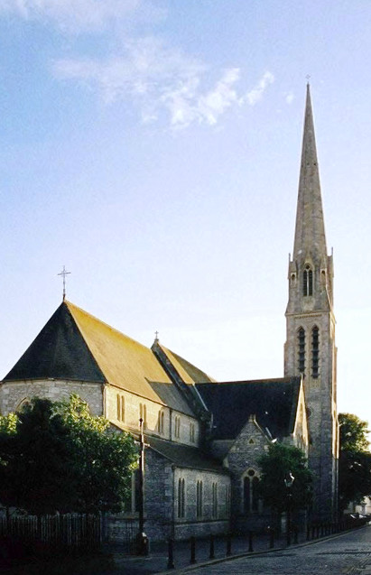
Roman Catholic Diocese of Plymouth
The Diocese of Plymouth(Latin: Dioecesis Plymuthensis) is a Latin Church diocese of the Catholic Church in England. The episcopal see is in the city of...

Cranmere Pool
Cranmere Pool is a small depression within a peat bog in the northern half of Dartmoor, Devon, England, at grid reference SX604858. It lies 560 metres...
Nearby Amenities
Located within 500m of 50.620321,-3.9566729Have you been to Broad Marsh?
Leave your review of Broad Marsh below (or comments, questions and feedback).