Foxtor Mires
Coastal Marsh, Saltings in Devon West Devon
England
Foxtor Mires
Foxtor Mires, located in Devon, England, is a stunning coastal marshland characterized by its unique and diverse ecosystem. The area is situated within the South Devon Area of Outstanding Natural Beauty, making it a popular destination for nature enthusiasts and wildlife lovers.
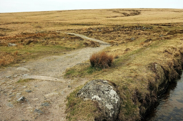
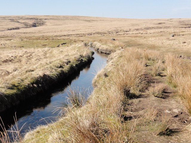
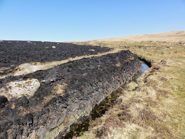
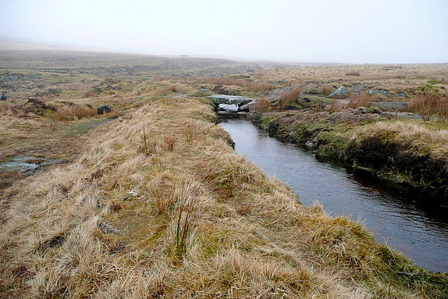
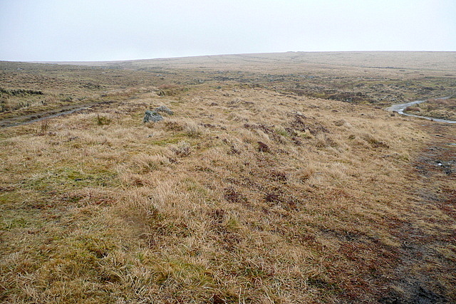
Covering an extensive area, Foxtor Mires is primarily composed of salt marshes and saltings, which are areas of coastal land that are flooded by seawater during high tides. These marshes are home to a wide range of plant species that have adapted to the harsh saline conditions, including cordgrasses, samphires, and sea lavender. This diverse flora provides crucial habitats for numerous bird species, such as redshanks, curlews, and sandpipers, which can be observed feeding and nesting in the marshes.
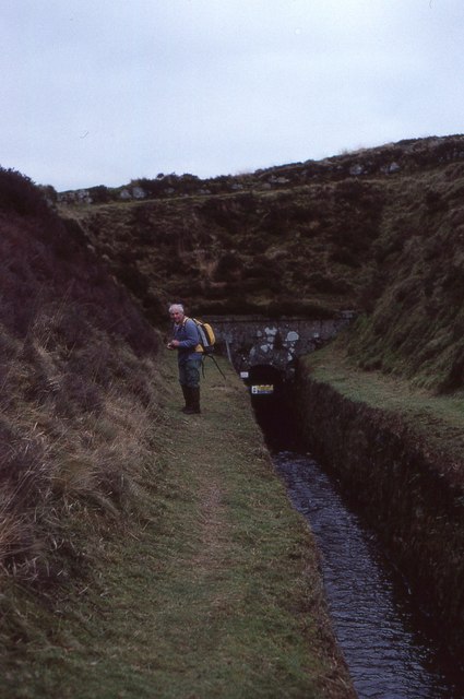
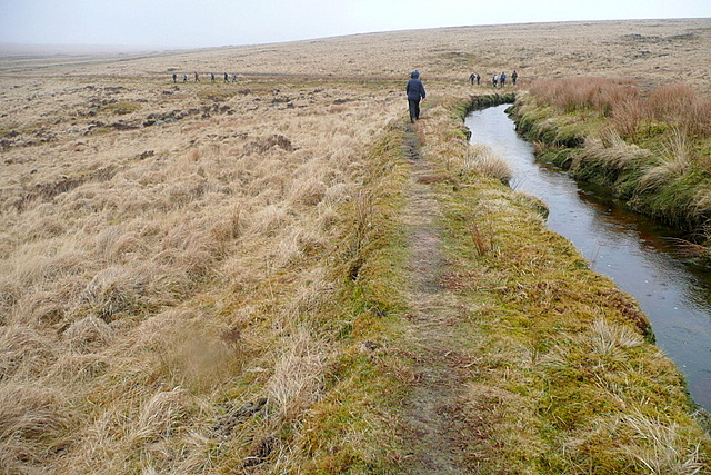
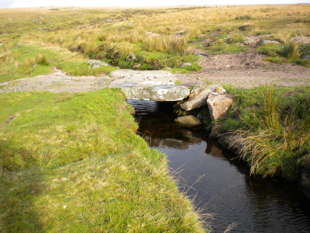
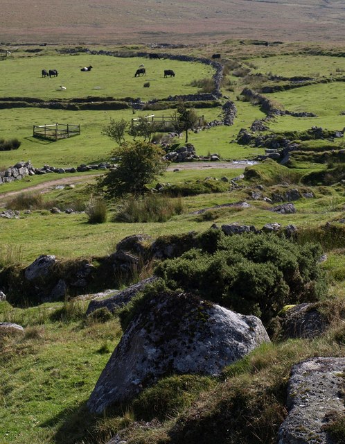
The marshland is dissected by several small streams and channels, which are influenced by the tides and contribute to the overall biodiversity of the area. These watercourses support various aquatic plants and animals, including fish, crabs, and wading birds.
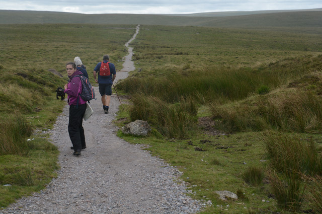
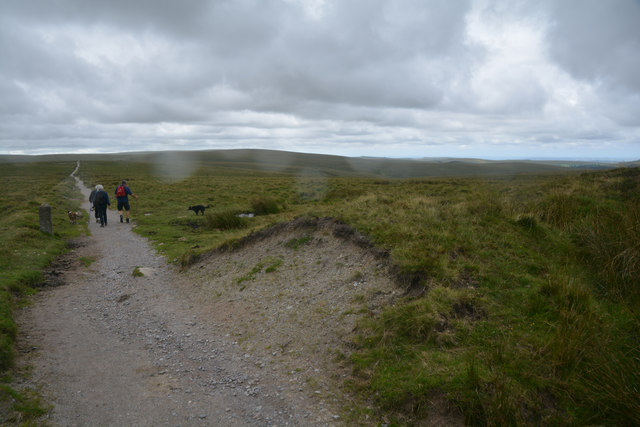
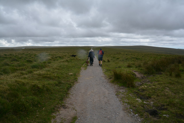
Visitors to Foxtor Mires can explore the marshland via a network of footpaths and boardwalks that allow for easy access while minimizing disruption to the delicate ecosystem. The site also offers panoramic views of the surrounding coastline, providing a picturesque backdrop for nature walks and birdwatching.
Foxtor Mires serves as an important habitat for both resident and migratory wildlife, and its protection is crucial for the continued preservation of this valuable coastal marsh ecosystem.
If you have any feedback on the listing, please let us know in the comments section below.
Foxtor Mires Images
Images are sourced within 2km of 50.518707/-3.9524384 or Grid Reference SX6170. Thanks to Geograph Open Source API. All images are credited.
Foxtor Mires is located at Grid Ref: SX6170 (Lat: 50.518707, Lng: -3.9524384)
Administrative County: Devon
District: West Devon
Police Authority: Devon and Cornwall
What 3 Words
///confusion.respect.blackmail. Near Princetown, Devon
Nearby Locations
Related Wikis
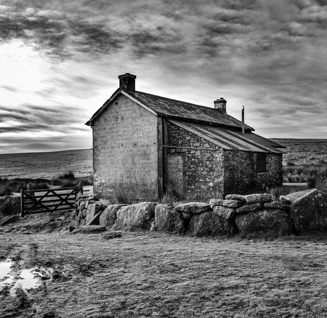
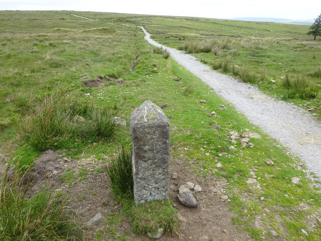
Whiteworks
Whiteworks (or White Works) is a former mining hamlet near the town of Princetown, within Dartmoor National Park, in the English county of Devon. Tin mining...

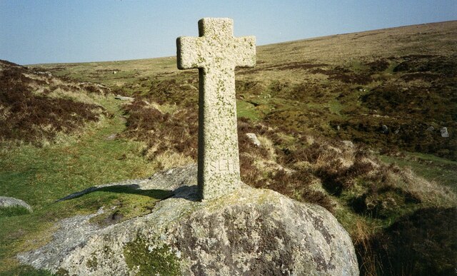
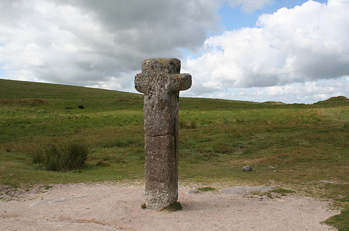
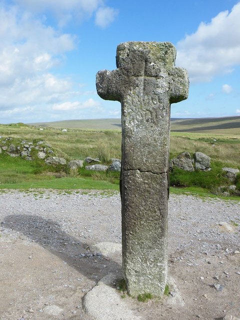
Childe's Tomb
Childe's Tomb is a granite cross on Dartmoor, Devon, England. Although not in its original form, it is more elaborate than most of the crosses on Dartmoor...

Fox Tor
Fox Tor is a relatively minor tor on Dartmoor in the county of Devon, England.On the flank of the tor, about 500 m to the north stands Childe's Tomb -...

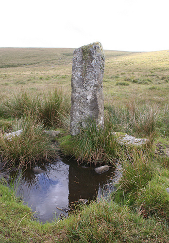
Duck's Pool, Dartmoor
Duck's Pool is a small depression set in a remote location in the southern half of Dartmoor, Devon, England at grid reference SX624678. It lies between...
Nearby Amenities
Located within 500m of 50.518707,-3.9524384Have you been to Foxtor Mires?
Leave your review of Foxtor Mires below (or comments, questions and feedback).