Bangor Flats
Coastal Marsh, Saltings in Caernarfonshire
Wales
Bangor Flats
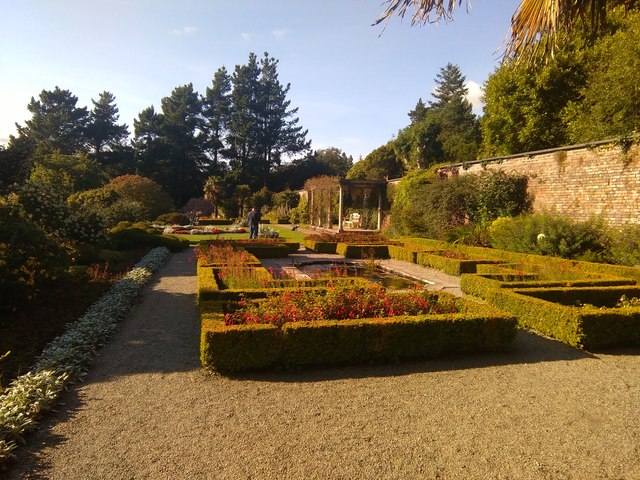
Bangor Flats is a coastal marsh and saltings area located in Caernarfonshire, Wales. Situated along the Menai Strait, it covers a vast expanse of marshland and intertidal mudflats, with a unique ecosystem that supports a wide range of plant and animal species.
The flats are characterized by their extensive salt marshes, which are formed by tidal movements and the deposition of sediment brought in by the tides. The area is subject to regular tidal flooding, creating a dynamic environment that is constantly changing with the ebb and flow of the tides.
This diverse habitat provides an ideal breeding ground and feeding area for a variety of bird species. Numerous wading birds, such as curlews, redshanks, and oystercatchers, can be observed foraging in the mudflats during low tide. The marshes also attract migratory birds, including ducks, geese, and waders, making it a significant site for birdwatching.
The vegetation in Bangor Flats is adapted to the saltwater environment, with salt-tolerant plants such as samphire and sea lavender dominating the landscape. These plants not only stabilize the sediments but also provide a crucial food source for both resident and migratory species.
The area is of great ecological importance and has been designated as a Site of Special Scientific Interest (SSSI) to protect its biodiversity and geology. It is also recognized as a Ramsar site, indicating its international significance as a wetland of importance.
Bangor Flats offers visitors a chance to explore the unique coastal ecosystem and observe a rich variety of birdlife. With its stunning views and abundant wildlife, it is a popular destination for nature enthusiasts and provides valuable educational and recreational opportunities.
If you have any feedback on the listing, please let us know in the comments section below.
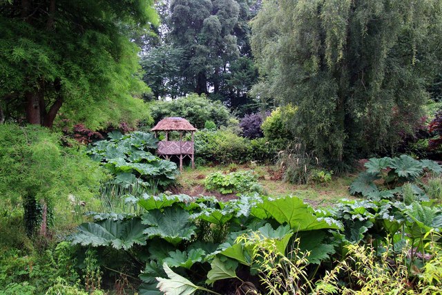
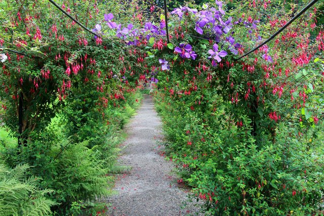
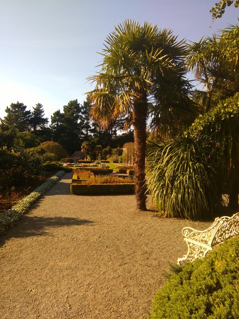
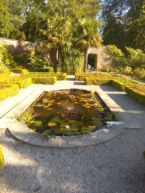
Bangor Flats Images
Images are sourced within 2km of 53.236299/-4.0973167 or Grid Reference SH6073. Thanks to Geograph Open Source API. All images are credited.


Bangor Flats is located at Grid Ref: SH6073 (Lat: 53.236299, Lng: -4.0973167)
Unitary Authority: Gwynedd
Police Authority: North Wales
What 3 Words
///geology.broads.bathtubs. Near Bangor, Gwynedd
Nearby Locations
Related Wikis

Port Penrhyn
Port Penrhyn (Welsh: Porth Penrhyn) is a harbour located just east of Bangor in north Wales at the confluence of the River Cegin with the Menai Strait...
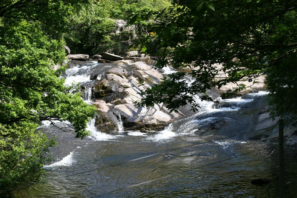
Afon Ogwen
ˈ The Afon Ogwen (; Welsh: [ˈɔɡʊɛn]; Welsh, meaning River Ogwen in English) is a river in north-west Wales draining from some of the greatest peaks in...

Afon Cegin
The Afon Cegin (River Cegin in English) is a small river draining parts of North Wales and discharging to the Menai Strait at Porth Penrhyn. Its name means...

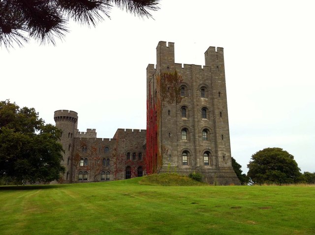
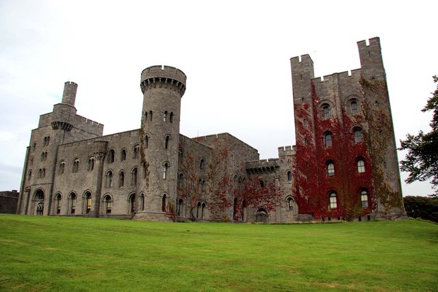
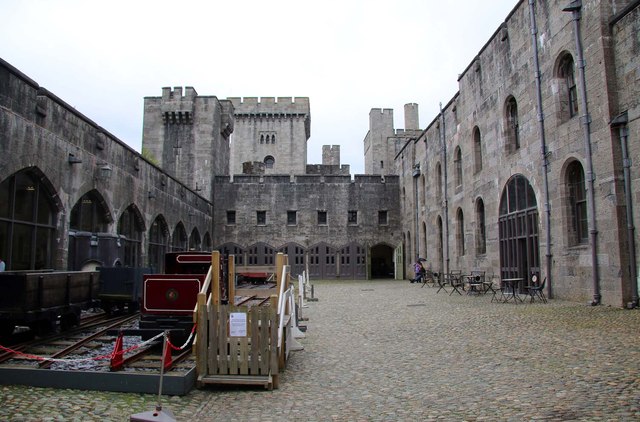
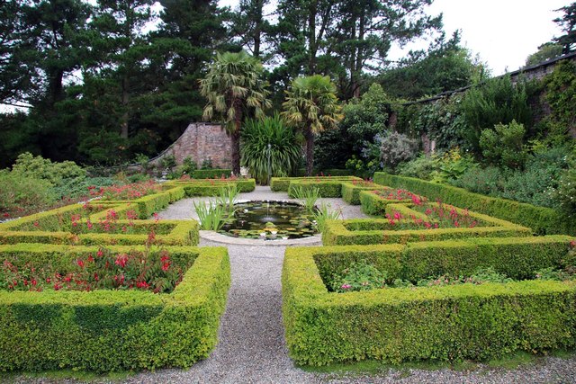
Penrhyn Castle
Penrhyn Castle (Welsh: Castell Penrhyn) is a country house in Llandygai, Bangor, Gwynedd, North Wales, constructed in the style of a Norman castle. The...

River Adda (Wales)
River Adda (Afon Adda in Welsh) is a small watercourse which flows, through the city of Bangor North Wales before discharging into the Menai Strait at...
Nant Ffrancon Formation
The Nant Ffrancon Fermation is a geologic formation in Wales. It preserves fossils dating back to the Ordovician period. == See also == List of fossiliferous...
Spinnies, Aberogwen
Spinnies Aberogwen is a Nature reserve located 2 miles East of Bangor, in Gwynedd unitary authority, north west Wales. The reserve is owned and managed...

Garth Pier
Garth Pier (Welsh: Pier y Garth; also known as Bangor Pier) is a Grade II listed structure in Bangor, Wales. At 1,500 feet (460 m) in length, it is the...
Nearby Amenities
Located within 500m of 53.236299,-4.0973167Have you been to Bangor Flats?
Leave your review of Bangor Flats below (or comments, questions and feedback).