Foulis Point

Coastal Marsh, Saltings in Ross-shire
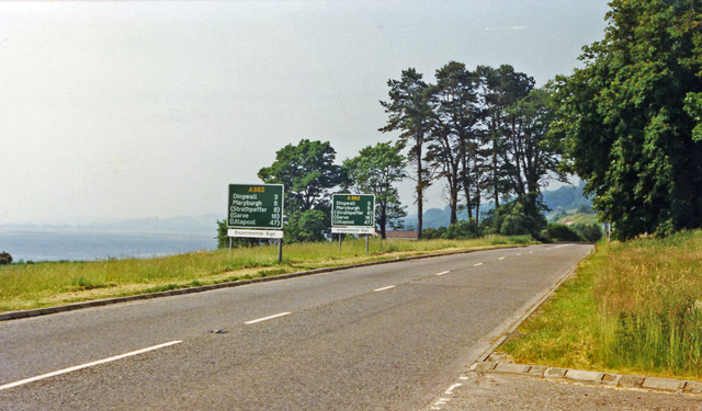
Scotland

Foulis Point

Foulis, horses ploughing Suffolk punch horses pulling a plough at Foulis.
Foulis, horses ploughing Credit: Geoff Potter

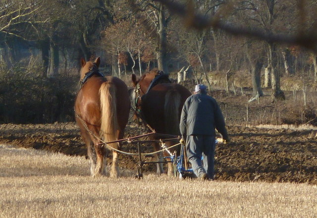
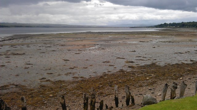
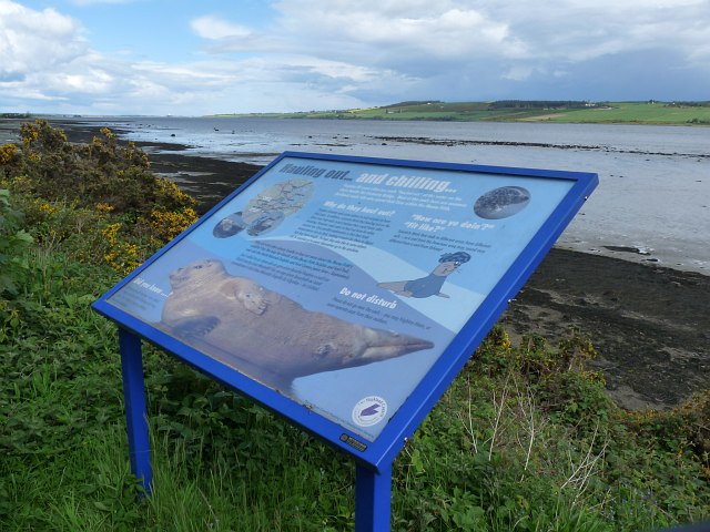
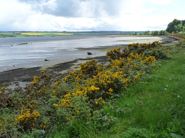
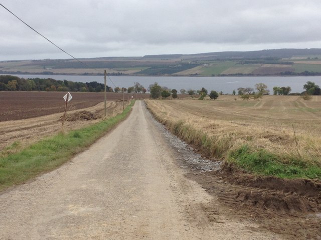
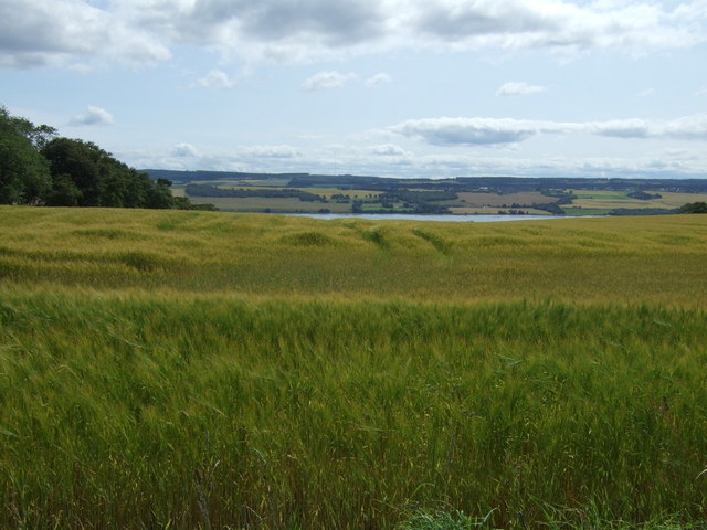
Foulis Point is a coastal marsh and saltings area located in Ross-shire, Scotland. Situated along the Cromarty Firth, it is known for its diverse and unique ecosystem. The site covers an extensive area of saltmarsh and mudflats, making it an important habitat for various plant and animal species.

The marsh is characterized by its intertidal zone, where the land is regularly submerged and exposed by the tides. This dynamic environment is home to a wide range of salt-tolerant plants, such as samphire, sea lavender, and sea aster. These vegetation species provide food and shelter for numerous bird species, including common redshanks, oystercatchers, and curlews.

Foulis Point is also a vital feeding ground for migratory birds, as it lies along their flight path during seasonal migrations. The mudflats attract large numbers of waders, such as dunlins and black-tailed godwits, which feed on the rich invertebrate life found in the sediment.

In addition to its ecological importance, Foulis Point offers breathtaking panoramic views of the surrounding landscape. The rugged coastline, with its dramatic cliffs and rocky outcrops, provides a stunning backdrop to the marsh and saltings.

The area is also of historical significance, with archaeological remains dating back to the Iron Age. These include the remains of an ancient settlement and a burial ground, showcasing the area's long-standing human presence.

Foulis Point is a designated Site of Special Scientific Interest (SSSI) and is protected under national conservation schemes. Its diverse ecosystems and rich biodiversity make it an important location for scientific research and nature enthusiasts alike.

If you have any feedback on the listing, please let us know in the comments section below.
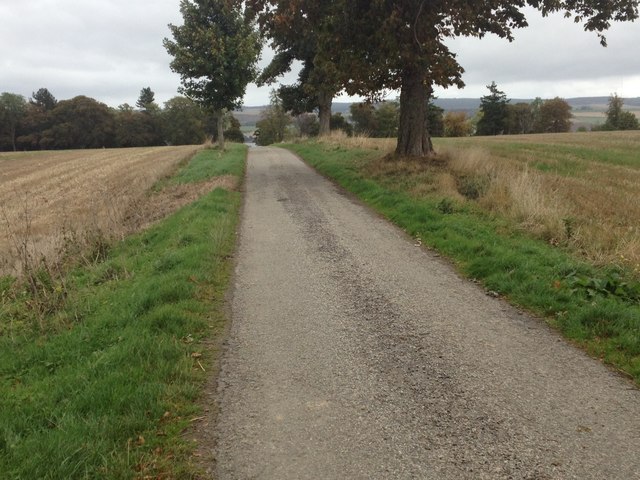
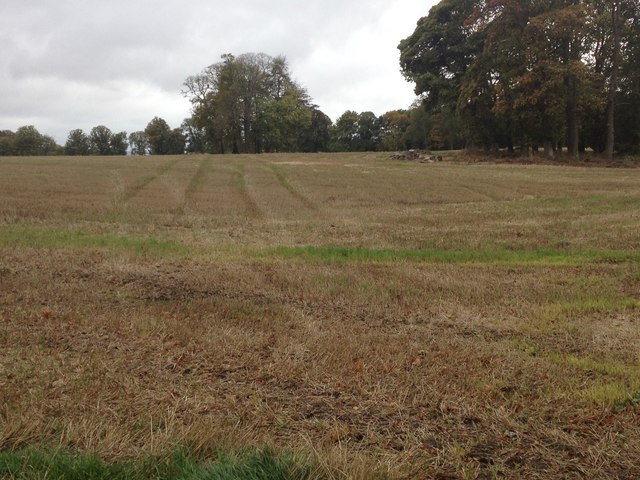
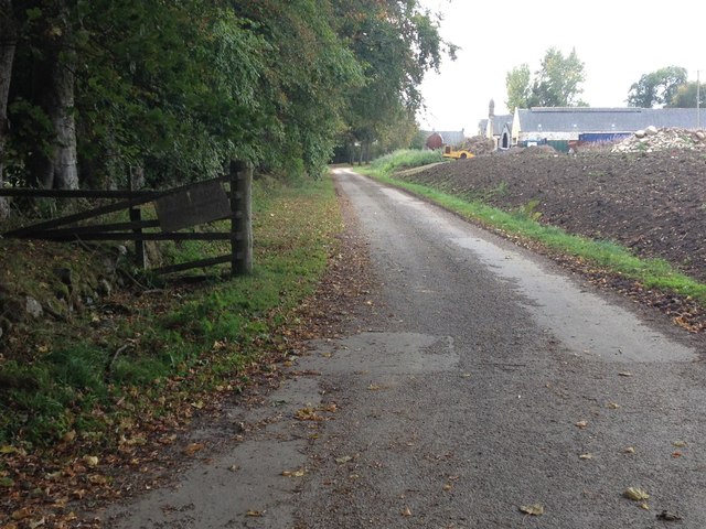
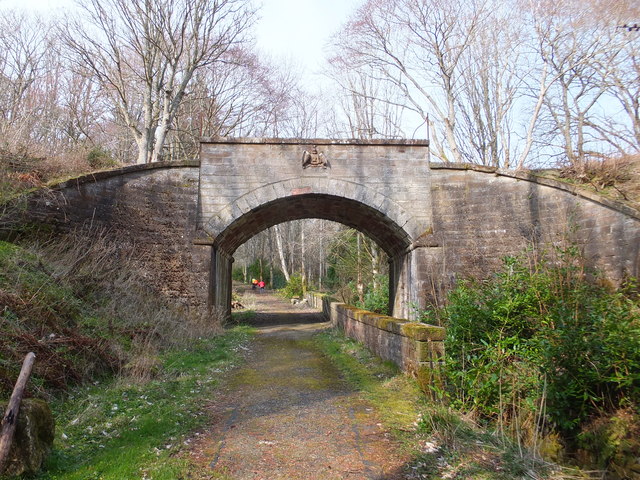
Foulis Point Images

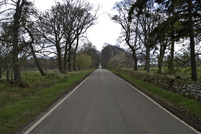
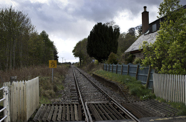
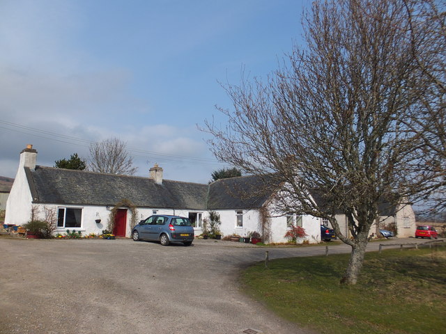
Images are sourced within 2km of 57.639157/-4.3482506 or Grid Reference NH5963. Thanks to Geograph Open Source API. All images are credited.

Foulis, horses ploughing Suffolk punch horses pulling a plough at Foulis.
Foulis, horses ploughing
Suffolk punch horses pulling a plough at Foulis.
Approaching the Ardulie Roundabout The A9(T) has traversed the Cromarty Firth and this roundabout will offer a route southwest towards Dingwall or northeast towards Tain.
Approaching the Ardulie Roundabout
The A9(T) has traversed the Cromarty Firth and this roundabout will offer a route southwest towards Dingwall or northeast towards Tain.
A9 (T) heads towards Foulis Point Folais in Gaelic means narrow.
A9 (T) heads towards Foulis Point
Folais in Gaelic means narrow.
Gateway to Foulis Castle
Road below Foulis
Road below Foulis
Foulis Station - long closed
The Cromarty Firth The tide was out but the flotsam shows how far it can come up the beach.  The Cromarty Bridge is in the distance.
The Cromarty Firth
The tide was out but the flotsam shows how far it can come up the beach. The Cromarty Bridge is in the distance.
Information Board beside Cromarty Firth A lay-by beside the A9 near to Ardullie Point is a good place to view seals.
Information Board beside Cromarty Firth
A lay-by beside the A9 near to Ardullie Point is a good place to view seals.
Cromarty Firth and Bridge The view from a lay-by on the A9 <a title="https://www.geograph.org.uk/photo/3330436" href="https://www.geograph.org.uk/photo/3330436">Link</a> .
Cromarty Firth and Bridge
The view from a lay-by on the A9 Link .
'Experimental signs', on A9 approaching Cromarty Bridge from Evanton View SW beside the Cromarty Firth between Foulis Point and the Bridge - which was opened in April 1979.
'Experimental signs', on A9 approaching Cromarty Bridge from Evanton
View SW beside the Cromarty Firth between Foulis Point and the Bridge - which was opened in April 1979.
Road near Ardullie
Road near Ardullie
Minor road near Ardullie
Minor road near Foulis Castle
Farmland near Foulis Castle
Farm road to Mains of Foulis
Railway bridge near Foulis This bridge crosses a private road to Foulis Castle.
Railway bridge near Foulis
This bridge crosses a private road to Foulis Castle.
Farm cottages, Ardullie
Crop field towards the Cromarty Firth From National Cycle Route 1.
Crop field towards the Cromarty Firth
From National Cycle Route 1.
Show me another place!

Foulis Point is located at Grid Ref: NH5963 (Lat: 57.639157, Lng: -4.3482506)

Unitary Authority: Highland

Police Authority: Highlands and Islands

What 3 Words

///cascaded.documents.blessing. Near Evanton, Highland

Nearby Locations

Foulis Point

Related Wikis

Foulis railway station

Foulis railway station served the village of Ardullie, Highland, Scotland from 1863 to 1964 on the Inverness and Ross-shire Railway. == History == The...
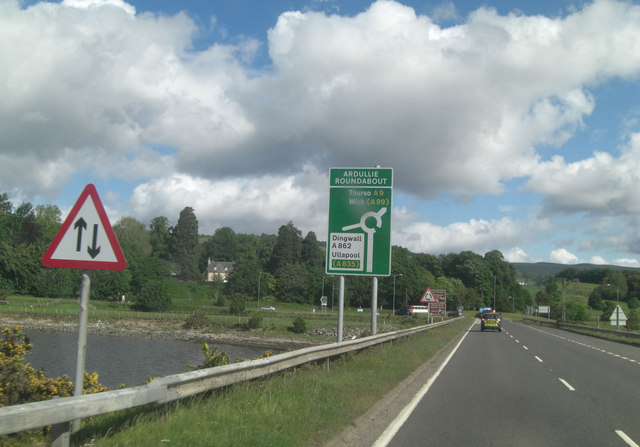
Ardullie

Ardullie (Scottish Gaelic: Àird Ilidh) is a village in Ross-shire, in the Highland council area of Scotland. It is on the north shore of the Cromarty Firth...
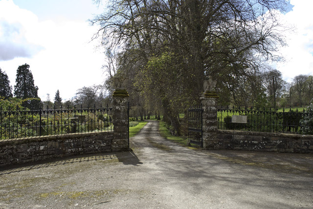
Foulis Castle

Foulis Castle is situated two miles south-west of Evanton in the parish of Kiltearn, Ross and Cromarty, Scotland. It is a white washed mansion that incorporates...

Swordale, Ross-shire

Swordale is a very small village which lies below the hill of the same name and above the River Sgitheach, in the parish of Kiltearn in eastern Ross-shire...

Nearby Amenities

Located within 500m of 57.639157,-4.3482506
Created By: almien_coastlines
Source: PGS
Lat/Long: 57.636838/-4.354902
Created By: almien_coastlines
Source: PGS
Lat/Long: 57.637352/-4.354684
Created By: almien_coastlines
Source: PGS
Lat/Long: 57.637482/-4.354449
Created By: almien_coastlines
Source: PGS
Lat/Long: 57.637748/-4.353504
Created By: almien_coastlines
Source: PGS
Lat/Long: 57.637879/-4.353271
Created By: almien_coastlines
Source: PGS
Lat/Long: 57.638009/-4.353036
Created By: almien_coastlines
Source: PGS
Lat/Long: 57.63814/-4.352804
Created By: almien_coastlines
Source: PGS
Lat/Long: 57.638531/-4.352101
Created By: almien_coastlines
Source: PGS
Lat/Long: 57.638537/-4.351624
Created By: almien_coastlines
Source: PGS
Lat/Long: 57.638668/-4.351391
Created By: almien_coastlines
Source: PGS
Lat/Long: 57.638798/-4.351156
Created By: almien_coastlines
Source: PGS
Lat/Long: 57.638929/-4.350923
Created By: almien_coastlines
Source: PGS
Lat/Long: 57.639059/-4.350689
Source: PGS
Lat/Long: 57.6391163/-4.350261
Source: PGS
Lat/Long: 57.6393066/-4.3502333
Source: PGS
Lat/Long: 57.6394451/-4.350104
Source: PGS
Lat/Long: 57.6396379/-4.3497992
Source: PGS
Lat/Long: 57.6398331/-4.3477949
Source: PGS
Lat/Long: 57.6399221/-4.3473515
Source: PGS
Lat/Long: 57.6420429/-4.3465203
Source: PGS
Lat/Long: 57.6423341/-4.3459936
Source: PGS
Lat/Long: 57.6425169/-4.3454812
Source: PGS
Lat/Long: 57.6426716/-4.3448505
Source: PGS
Lat/Long: 57.6427841/-4.3444892
Railway: level_crossing
Lat/Long: 57.6404805/-4.3524651
The Storehouse Farm Shop
Shop: farm
Lat/Long: 57.6403771/-4.3477051
Restaurant
The Storehouse Restaurant
Addr City: Evanton
Addr Postcode: IV16 9UX
Addr Street: Foulis Ferry
Opening Hours: Mo-Sa 09:00-17:00
Phone: +44 1349 830038
Website: https://thestorehouse.scot/
Lat/Long: 57.6402538/-4.347839
Foulis
Historic Railway: station
Railway: site
Wikidata: Q48814113
Wikipedia: en:Foulis railway station
Lat/Long: 57.6401836/-4.3529921
Barrier: yes
Lat/Long: 57.6405046/-4.352523
Barrier: yes
Lat/Long: 57.6404695/-4.352443
Railway: level_crossing
Lat/Long: 57.6432493/-4.3480528
Power: pole
Lat/Long: 57.6406741/-4.3487184
Power: pole
Lat/Long: 57.640799/-4.3492156
Power: pole
Lat/Long: 57.6406643/-4.3502403
Power: pole
Lat/Long: 57.6405416/-4.3513706
Power: pole
Lat/Long: 57.6404188/-4.3524866
Power: pole
Lat/Long: 57.6399985/-4.3531989
Power: pole
Lat/Long: 57.639437/-4.3541283
Power: pole
Lat/Long: 57.6388809/-4.3550333
Power: pole
Lat/Long: 57.6383259/-4.3559789
The data included in this document is from www.openstreetmap.org. The data is made available under ODbL.

Have you been to Foulis Point?

Leave your review of Foulis Point below (or comments, questions and feedback).