Corgrain Point
Coastal Marsh, Saltings in Ross-shire
Scotland
Corgrain Point

Corgrain Point is a coastal marsh and saltings located in Ross-shire, Scotland. Situated along the eastern coast of the North Sea, it is a significant natural feature with diverse ecological characteristics.
The marsh at Corgrain Point is a low-lying, flat area that experiences periodic flooding due to its proximity to the sea. This creates a unique habitat for various plant and animal species. The marsh is predominantly covered with salt-tolerant vegetation, including saltmarsh grasses, samphire, and sea lavender. These plants play a crucial role in stabilizing the soil and preventing erosion.
The saltings, which are intertidal areas of land, are an integral part of Corgrain Point. They form when the tide recedes, leaving behind deposits of salt and minerals. These areas provide feeding grounds for numerous bird species, including waders, gulls, and terns. During migration seasons, the saltings attract a diverse range of shorebirds, making it a popular destination for birdwatchers.
Corgrain Point offers stunning views of the North Sea, and its rugged coastline adds to its natural beauty. The area is also home to various marine life, such as crabs, fish, and small invertebrates, which thrive in the shallow waters and rock pools.
The marsh and saltings at Corgrain Point are of great ecological importance as they provide critical habitat for many species. Efforts have been made to preserve and protect this area, including designating it as a nature reserve. Visitors to Corgrain Point can enjoy its natural beauty, observe its diverse wildlife, and appreciate the tranquility of this coastal marsh and saltings.
If you have any feedback on the listing, please let us know in the comments section below.
Corgrain Point Images
Images are sourced within 2km of 57.505701/-4.3458944 or Grid Reference NH5948. Thanks to Geograph Open Source API. All images are credited.


Corgrain Point is located at Grid Ref: NH5948 (Lat: 57.505701, Lng: -4.3458944)
Unitary Authority: Highland
Police Authority: Highlands and Islands
What 3 Words
///blip.oxidation.factually. Near Muir of Ord, Highland
Nearby Locations
Related Wikis
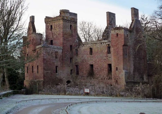
Redcastle
Redcastle (Scottish Gaelic: an Caisteal ruadh), historically known as Edirdovar and Ederdour, is a medieval castle in Killearnan on the Black Isle, northern...

Arpafeelie
Arpafeelie (Scottish Gaelic: Arpa Phìlidh) is a hamlet on the Black Isle, in Ross and Cromarty, in the Highland council area of Scotland. It is situated...
Artafallie
Artafallie (Scottish Gaelic: Àirde Fàillidh) is a hamlet on the Black Isle, in the Highland council area of Scotland. It is about two km (1.2 mi) to the...

Redcastle railway station
Redcastle railway station served the parish of Killearnan, Ross and Cromarty, Scotland, from 1894 to 1951 on the Fortrose Branch. == History == The station...
Nearby Amenities
Located within 500m of 57.505701,-4.3458944Have you been to Corgrain Point?
Leave your review of Corgrain Point below (or comments, questions and feedback).