Lentran Point
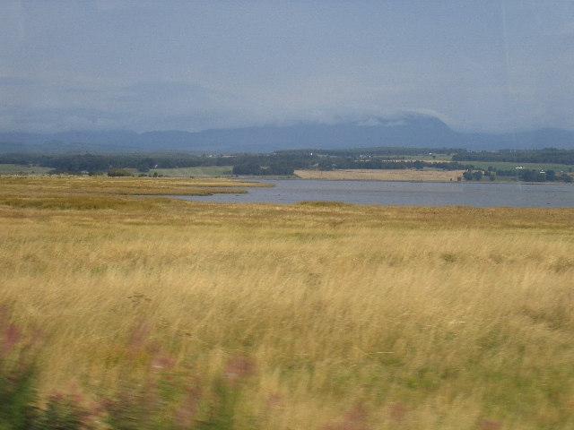
Coastal Marsh, Saltings in Inverness-shire
Scotland
Lentran Point

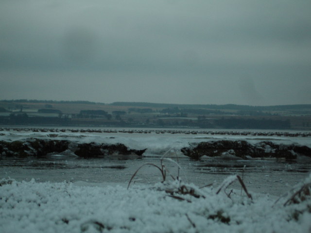
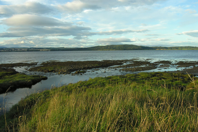
Lentran Point is a coastal area located in Inverness-shire, Scotland. It is known for its marshes and saltings, which provide a unique habitat for a variety of plant and animal species. The marshes at Lentran Point are characterized by their wet, muddy terrain, which is home to a diverse range of aquatic plants such as reeds, rushes, and sedges.
The saltings at Lentran Point are areas of coastal land that are regularly flooded by the tides, creating a brackish environment that supports a variety of salt-tolerant plants like samphire and sea lavender. These areas are also important feeding grounds for migratory birds, who come to the marshes and saltings to feed on the rich abundance of invertebrates and fish.
Lentran Point is a popular destination for birdwatchers and nature enthusiasts, who come to observe the diverse wildlife that calls this coastal area home. The marshes and saltings at Lentran Point are also important for the local ecosystem, providing valuable habitat for a range of species and helping to protect the coastline from erosion.
If you have any feedback on the listing, please let us know in the comments section below.
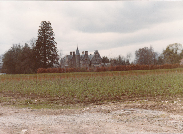
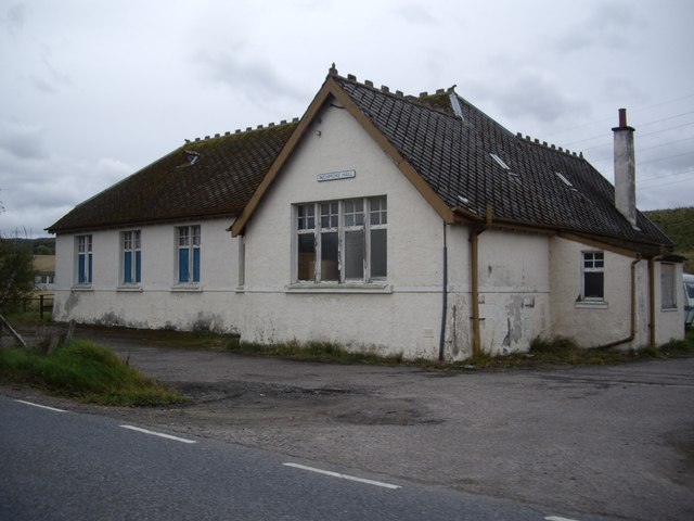
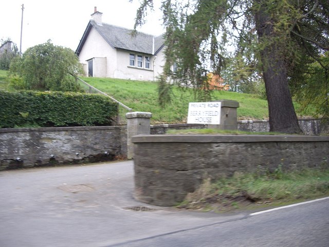
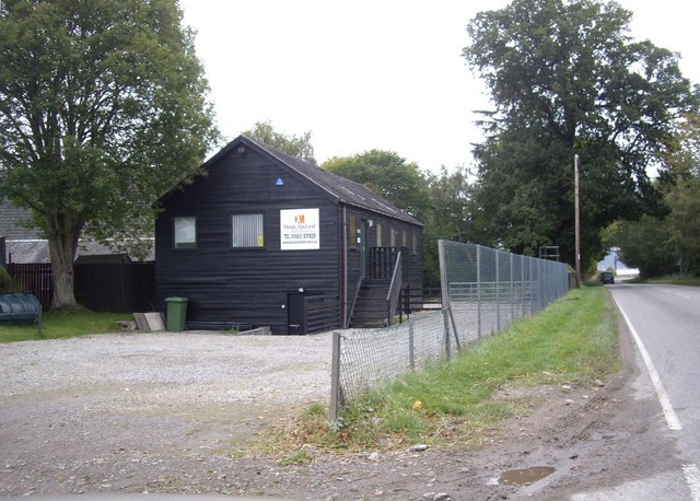
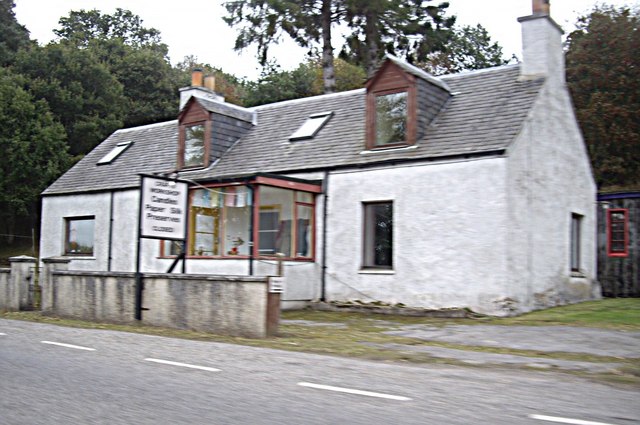
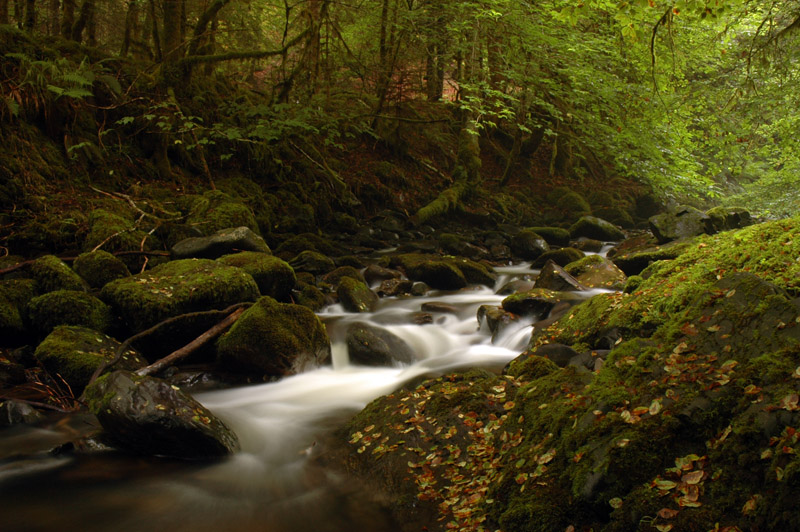
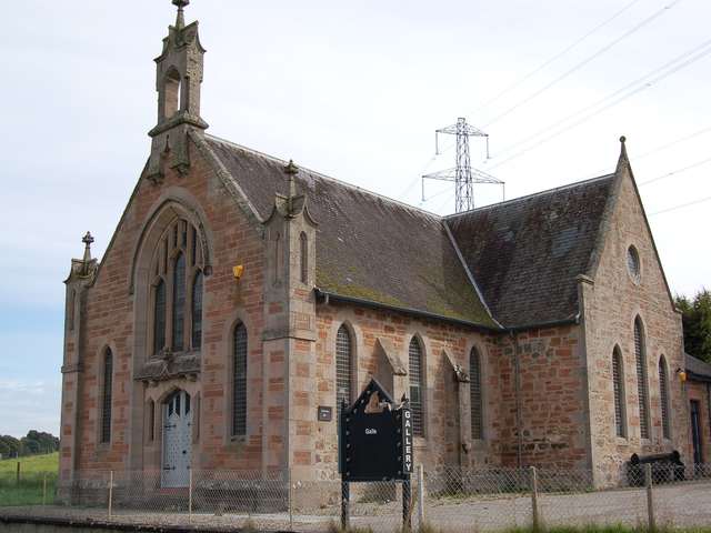
Lentran Point Images
Images are sourced within 2km of 57.482357/-4.364617 or Grid Reference NH5846. Thanks to Geograph Open Source API. All images are credited.


Lentran Point is located at Grid Ref: NH5846 (Lat: 57.482357, Lng: -4.364617)
Unitary Authority: Highland
Police Authority: Highlands and Islands
What 3 Words
///stem.haystack.thatched. Near Beauly, Highland
Nearby Locations
Related Wikis

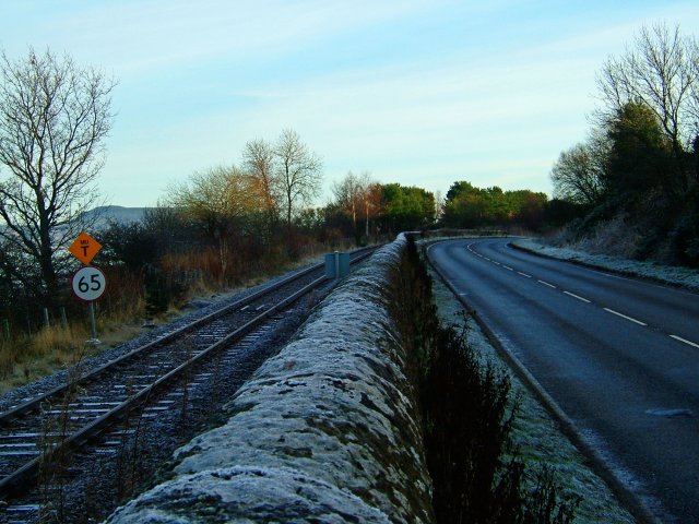
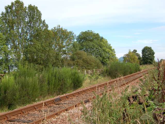
Lentran railway station
Lentran railway station was a railway station serving Lentran on the Inverness and Ross-shire Railway, on the Inverness to Muir of Ord section opened...

Lentran
Lentran is a small hamlet in the Highland council area of Scotland. It is 1.8 miles (3 km) east of Kirkhill and 5 miles (8 km) west of Inverness, on the...
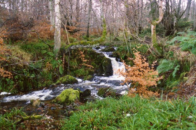
Moniack Burn
Moniack Burn (Scottish Gaelic: Mon-ìothag, meaning "Burn of the Corn Moss") is a small river in the Highland council area of Scotland. The stream flows...
Inchmore, Kirkhill
Inchmore (Scottish Gaelic: Innis Mhòr, meaning "Large Island in the Marsh") in the Highland council area of Scotland, just south of the Beauly Firth. It...
Nearby Amenities
Located within 500m of 57.482357,-4.364617Have you been to Lentran Point?
Leave your review of Lentran Point below (or comments, questions and feedback).