Skern
Coastal Marsh, Saltings in Devon Torridge
England
Skern
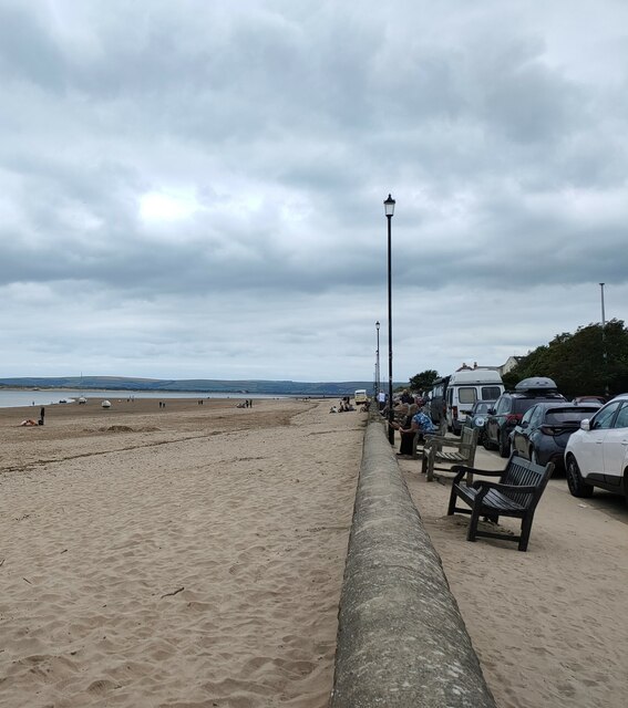
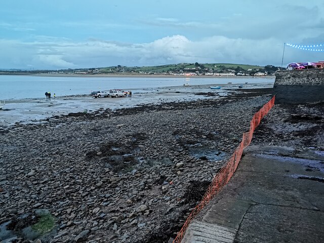
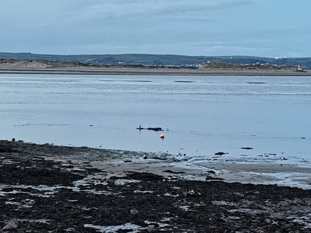
Skern, located in North Devon, England, is a coastal marsh and saltings area that stretches along the shores of the Bristol Channel. This unique and diverse ecosystem covers approximately 250 hectares and is renowned for its remarkable natural beauty and ecological significance.
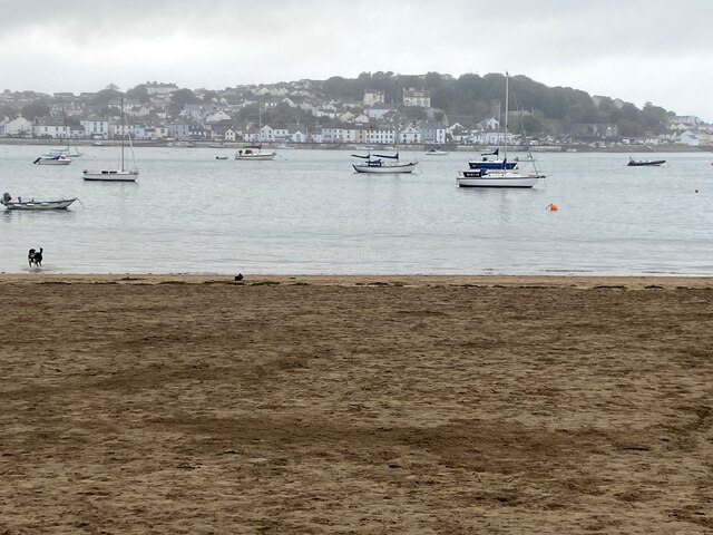
The marshland is characterized by its vast expanses of salt marshes, mudflats, and sand dunes. It is a crucial habitat for a wide range of plant and animal species, many of which are rare and protected. The area is particularly important for birdlife, attracting thousands of migratory birds throughout the year. Birdwatchers flock to Skern to observe species such as wading birds, ducks, and geese, as well as rare visitors like the osprey and peregrine falcon.
The tidal nature of the Bristol Channel greatly influences Skern's landscape and biodiversity. Twice a day, the marshes are submerged by the sea, creating a dynamic environment that supports an array of specialized plants and invertebrates. These unique conditions also make Skern an ideal feeding and breeding ground for fish and other marine creatures.
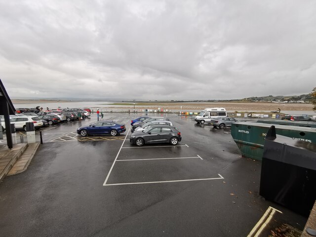
In addition to its ecological significance, Skern is a popular destination for outdoor enthusiasts. The area offers opportunities for walking, hiking, and wildlife photography. The nearby beach provides a tranquil spot for relaxation and beachcombing.
Skern, with its stunning coastal scenery and rich biodiversity, serves as an important reminder of the need to protect and preserve our natural heritage. It is a valuable resource for scientific research, education, and recreation, contributing to the overall beauty and cultural heritage of North Devon.
If you have any feedback on the listing, please let us know in the comments section below.
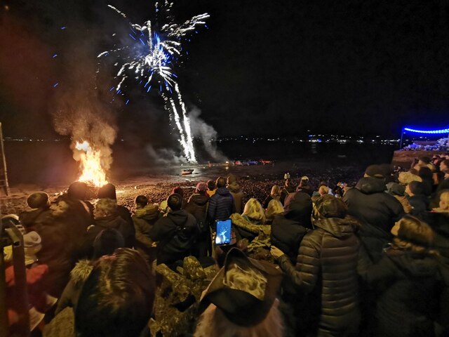
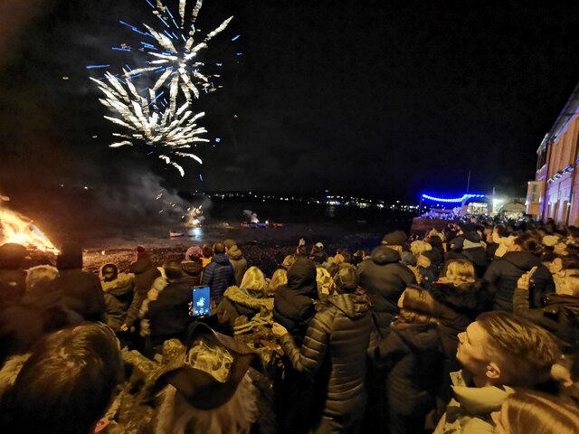
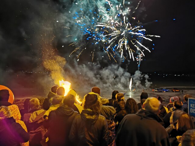
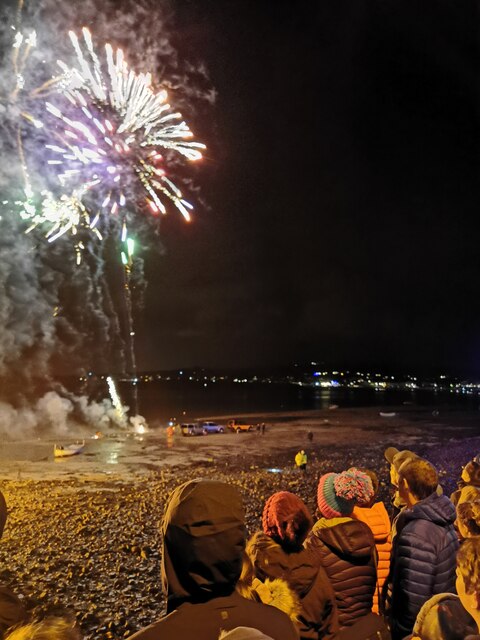
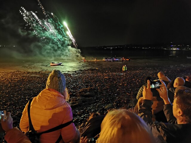
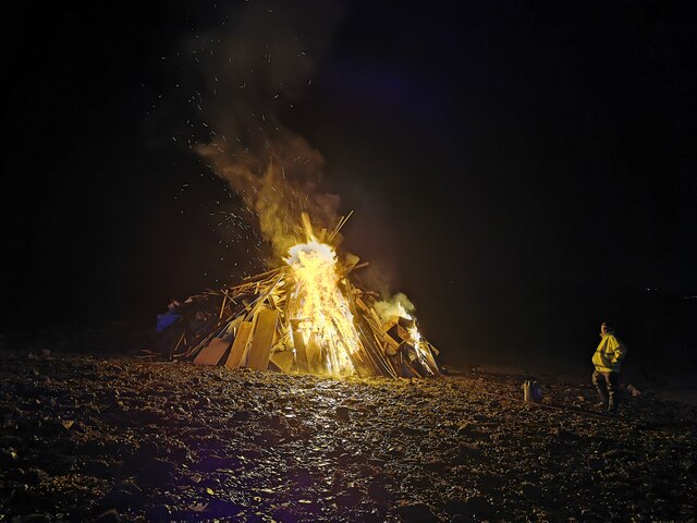
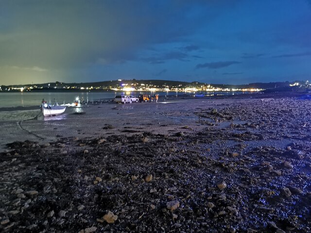
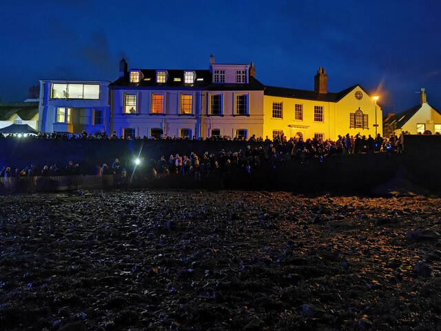
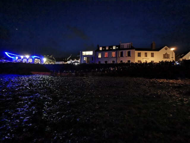
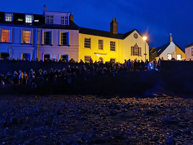
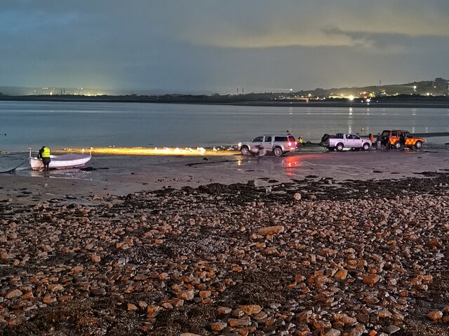
Skern Images
Images are sourced within 2km of 51.05715/-4.2073274 or Grid Reference SS4530. Thanks to Geograph Open Source API. All images are credited.
Skern is located at Grid Ref: SS4530 (Lat: 51.05715, Lng: -4.2073274)
Administrative County: Devon
District: Torridge
Police Authority: Devon and Cornwall
What 3 Words
///sprinter.writings.thighs. Near Appledore, Devon
Nearby Locations
Related Wikis

Appledore Lifeboat Station
Appledore Lifeboat Station is the base for Royal National Lifeboat Institution (RNLI) search and rescue operations at Appledore, Devon in the United Kingdom...
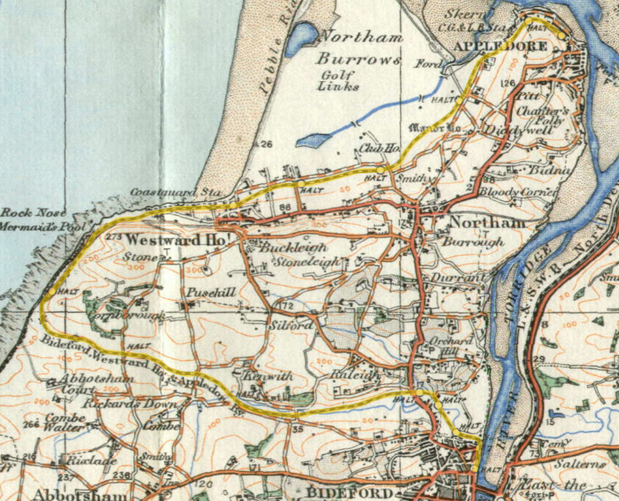
Lovers' Lane Halt railway station
Lovers' Lane Halt railway station was a minor railway station or halt in north Devon close to the town of Appledore, a community lying on the peninsula...

River Torridge
The River Torridge is a river in Devon in England; it rises near Meddon. The river describes a long loop through Devon farming country where its tributaries...
Richmond Road Halt railway station
Richmond Road Halt was a minor railway station or halt in north Devon, situated fairly close to the town of Appledore, a community lying on the peninsula...

Appledore railway station (Devon)
Appledore railway station was a railway station in north Devon, situated close to the village of Appledore, a community lying on the peninsula formed by...

St Mary's Church, Appledore
St Mary's Church is the parish church of Appledore. It sits on the Quay overlooking the River Torridge. The foundation stone of the church was laid in...

Appledore, Torridge
Appledore is a village at the mouth of the River Torridge, about 6 miles (10 km) west of Barnstaple and about 3 miles (5 km) north of Bideford in the county...
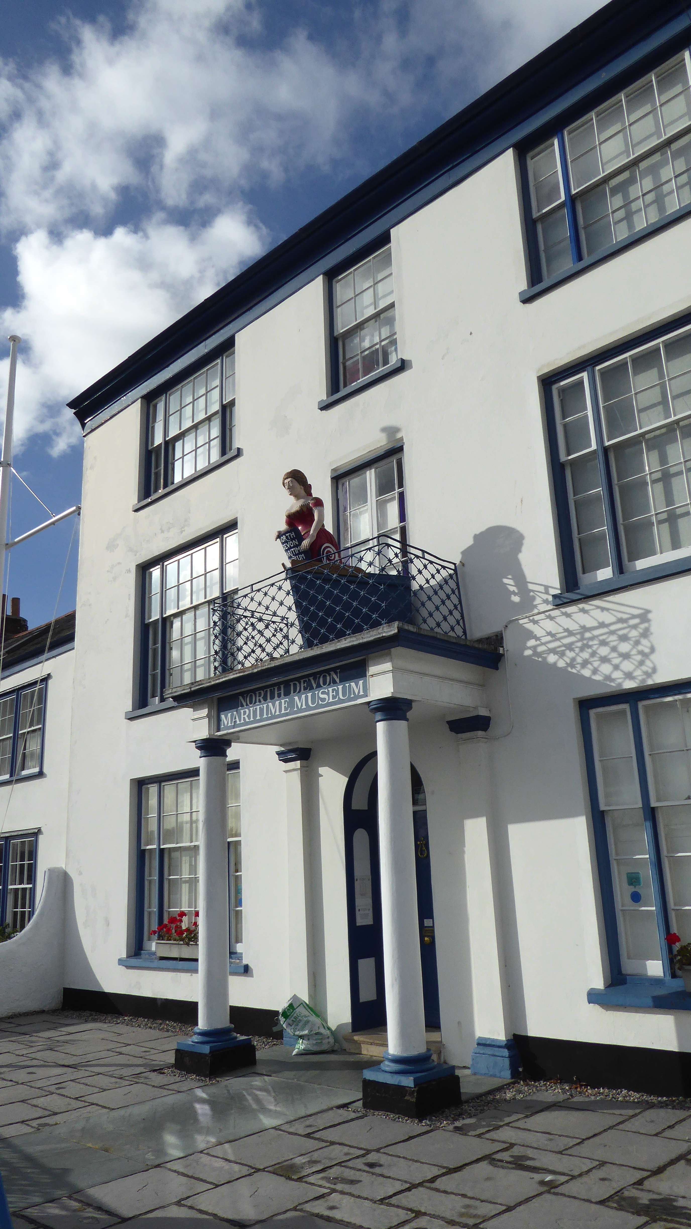
North Devon Maritime Museum
The North Devon Maritime Museum is a museum situated in the estuary town of Appledore, Devon, England. Housed in Odun House, a Georgian Grade II listed...
Nearby Amenities
Located within 500m of 51.05715,-4.2073274Have you been to Skern?
Leave your review of Skern below (or comments, questions and feedback).