Western Hill
Coastal Feature, Headland, Point in Devon Torridge
England
Western Hill
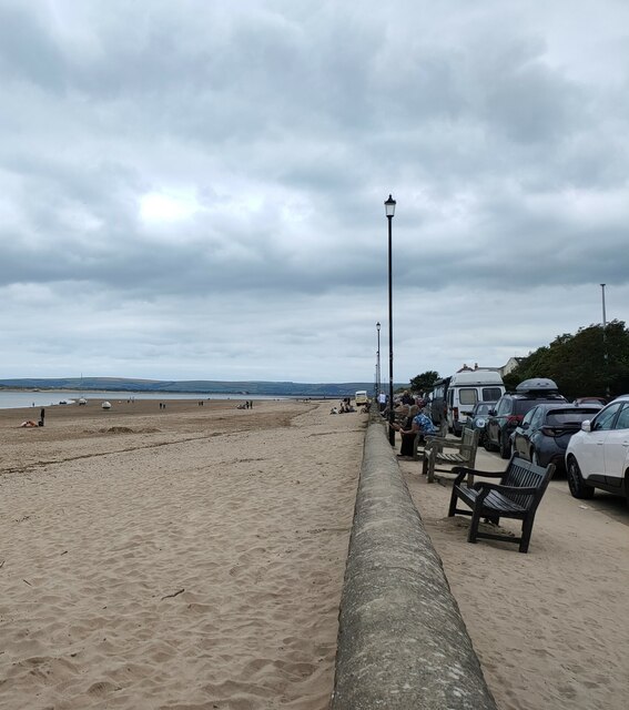
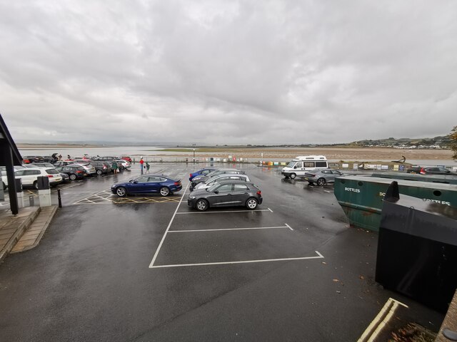
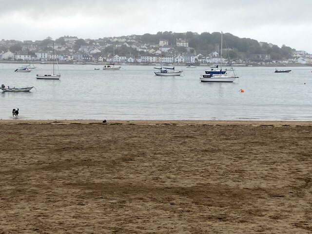
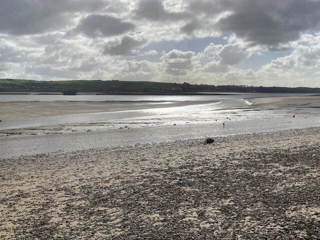
Western Hill is a prominent coastal feature located in Devon, England. It is a headland that juts out into the vast expanse of the Atlantic Ocean, forming a dramatic point along the rugged coastline. Situated near the town of Ilfracombe, Western Hill offers stunning panoramic views of the surrounding seascape and the picturesque countryside.
The headland is characterized by its towering cliffs, which rise majestically from the crashing waves below. These cliffs are composed of layers of sedimentary rock, showcasing the fascinating geological history of the area. The exposed rock formations provide a glimpse into millions of years of natural processes, including the deposition of ancient marine sediments and subsequent tectonic movements.
Western Hill is a haven for wildlife enthusiasts, as it is home to a diverse array of flora and fauna. The cliff faces provide nesting sites for seabirds such as guillemots and kittiwakes, while the surrounding grasslands host a variety of wildflowers and grasses. Visitors may also spot seals and dolphins swimming in the waters just off the coast, adding to the area's natural beauty.
For those seeking outdoor activities, Western Hill offers numerous opportunities for exploration and adventure. Hiking trails wind their way along the cliff tops, allowing visitors to fully immerse themselves in the breathtaking scenery. Additionally, the headland is a popular spot for rock climbing, attracting enthusiasts from all over the country.
With its awe-inspiring vistas, rich biodiversity, and recreational opportunities, Western Hill is a must-visit destination for nature lovers and adventure seekers alike. Whether admiring the coastal views, observing wildlife, or engaging in outdoor pursuits, this headland provides a truly memorable experience on the Devonshire coast.
If you have any feedback on the listing, please let us know in the comments section below.
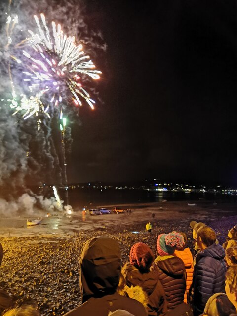
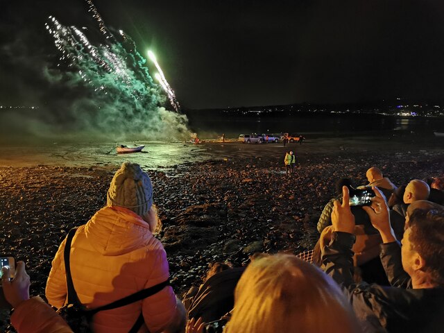
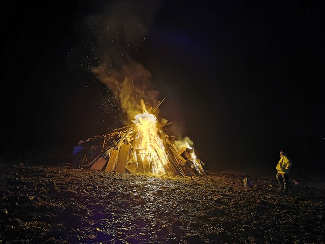
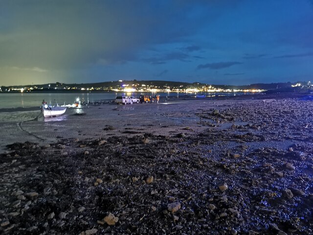
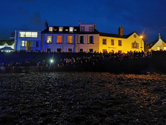
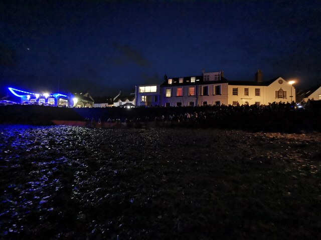
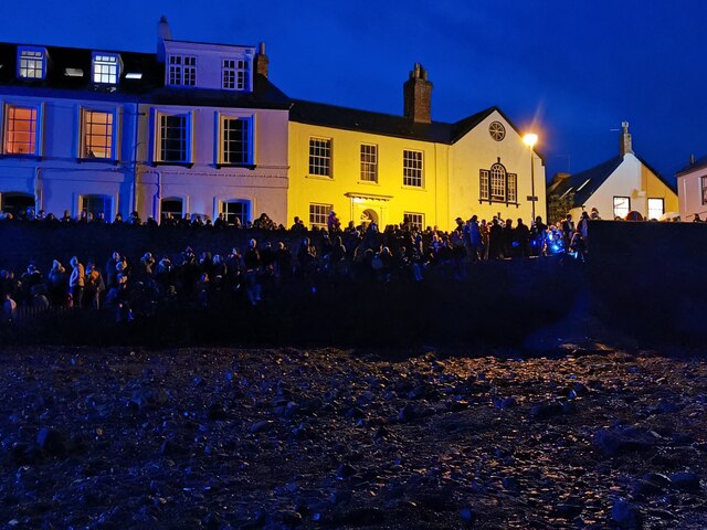
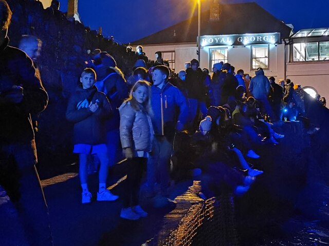
Western Hill Images
Images are sourced within 2km of 51.056774/-4.2010305 or Grid Reference SS4530. Thanks to Geograph Open Source API. All images are credited.
Western Hill is located at Grid Ref: SS4530 (Lat: 51.056774, Lng: -4.2010305)
Administrative County: Devon
District: Torridge
Police Authority: Devon and Cornwall
What 3 Words
///agrees.took.forgotten. Near Appledore, Devon
Nearby Locations
Related Wikis

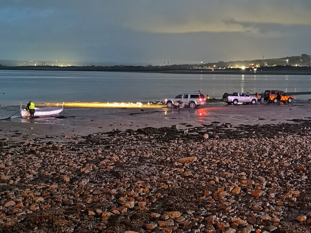
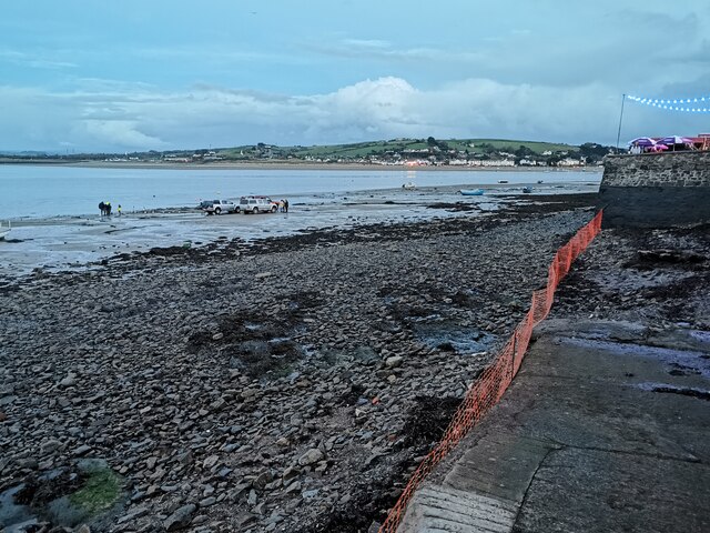
Appledore Lifeboat Station
Appledore Lifeboat Station is the base for Royal National Lifeboat Institution (RNLI) search and rescue operations at Appledore, Devon in the United Kingdom...
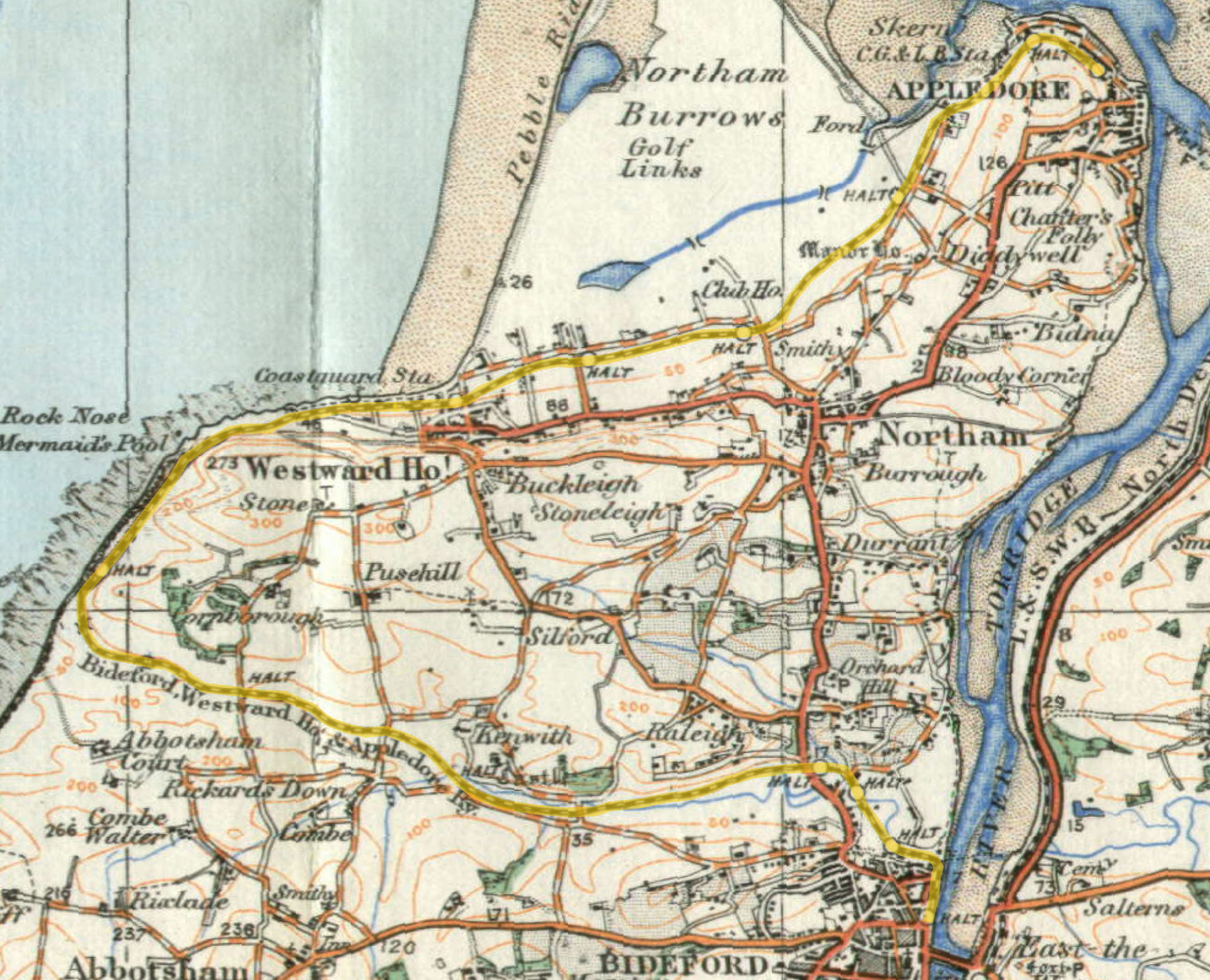
Lovers' Lane Halt railway station
Lovers' Lane Halt railway station was a minor railway station or halt in north Devon close to the town of Appledore, a community lying on the peninsula...

River Torridge
The River Torridge is a river in Devon in England; it rises near Meddon. The river describes a long loop through Devon farming country where its tributaries...

Appledore railway station (Devon)
Appledore railway station was a railway station in north Devon, situated close to the village of Appledore, a community lying on the peninsula formed by...

St Mary's Church, Appledore
St Mary's Church is the parish church of Appledore. It sits on the Quay overlooking the River Torridge. The foundation stone of the church was laid in...

Appledore, Torridge
Appledore is a village at the mouth of the River Torridge, about 6 miles (10 km) west of Barnstaple and about 3 miles (5 km) north of Bideford in the county...
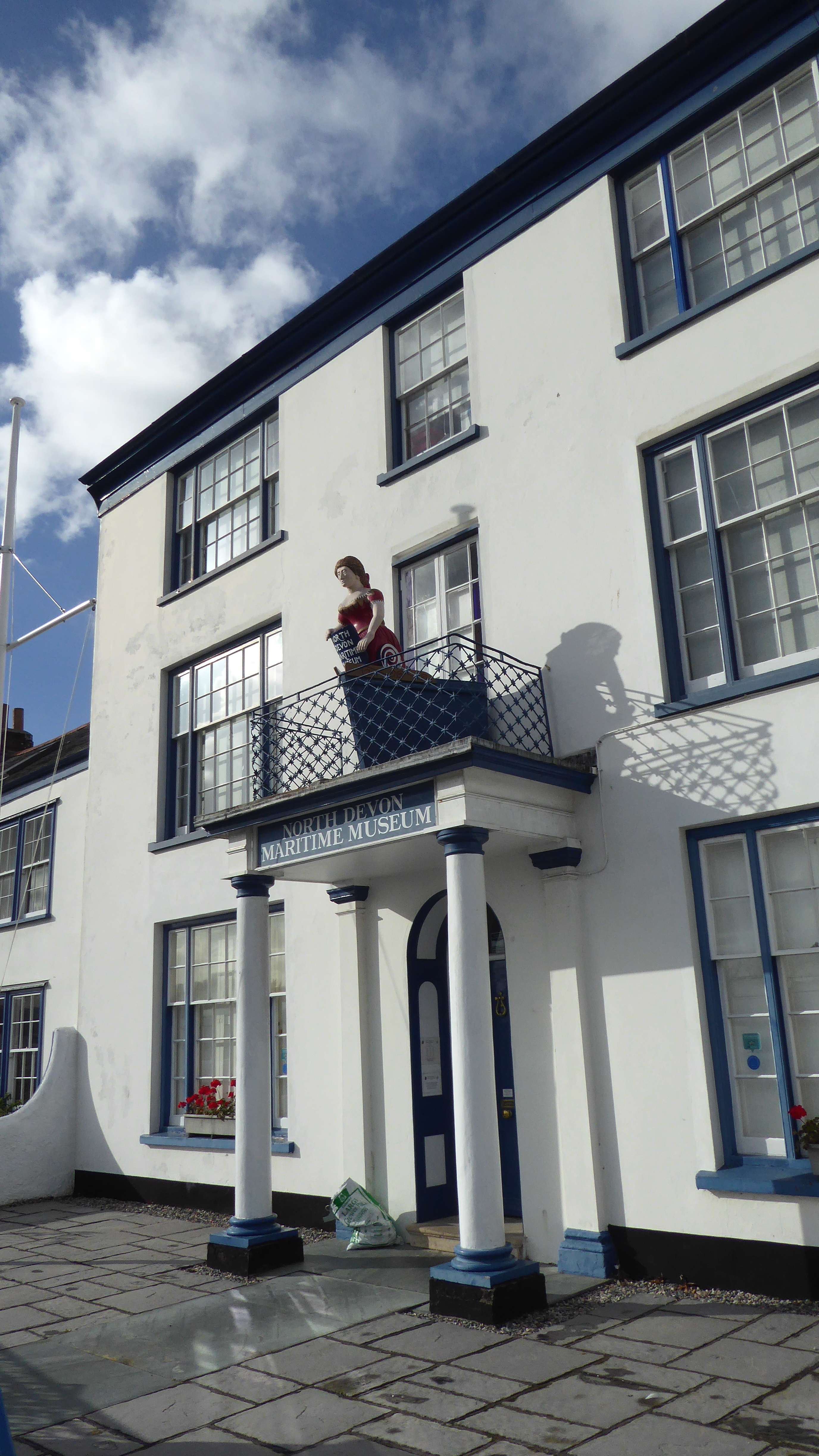
North Devon Maritime Museum
The North Devon Maritime Museum is a museum situated in the estuary town of Appledore, Devon, England. Housed in Odun House, a Georgian Grade II listed...
Richmond Road Halt railway station
Richmond Road Halt was a minor railway station or halt in north Devon, situated fairly close to the town of Appledore, a community lying on the peninsula...
Nearby Amenities
Located within 500m of 51.056774,-4.2010305Have you been to Western Hill?
Leave your review of Western Hill below (or comments, questions and feedback).