Benbuie

Coastal Marsh, Saltings in Wigtownshire

Scotland

Benbuie

Front Bay, Monreith Viewed from the Gavin Maxwell Otter Memorial. Looking towards St Medan Golf Course.
Front Bay, Monreith Credit: Billy McCrorie

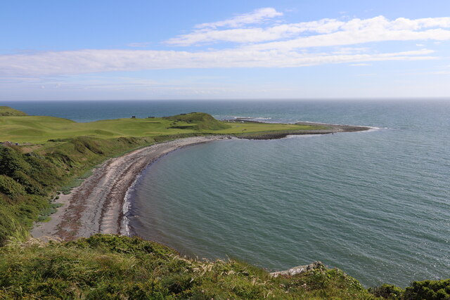
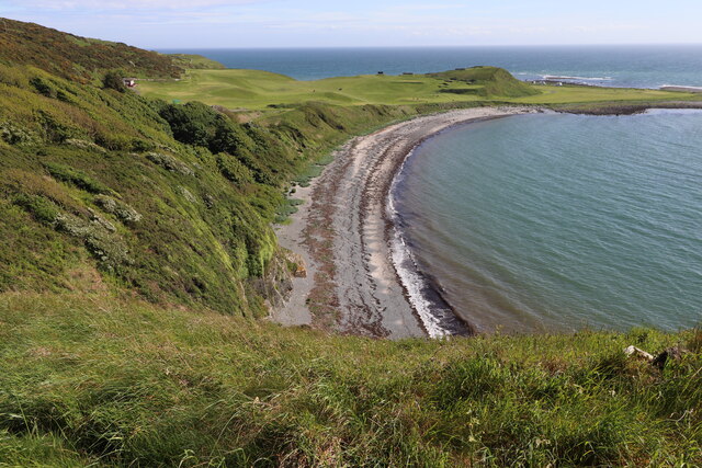
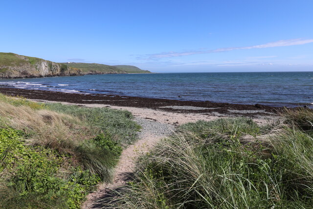
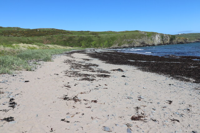
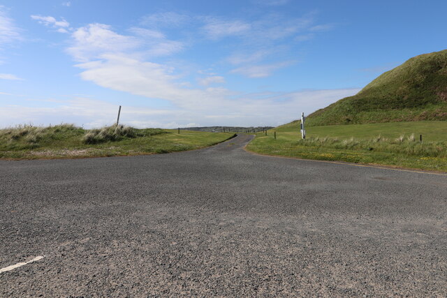
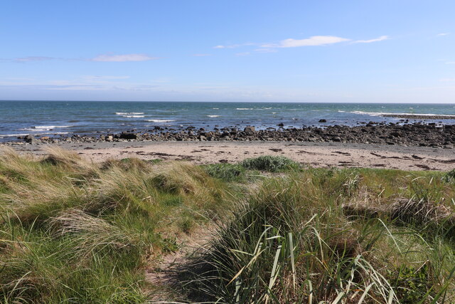
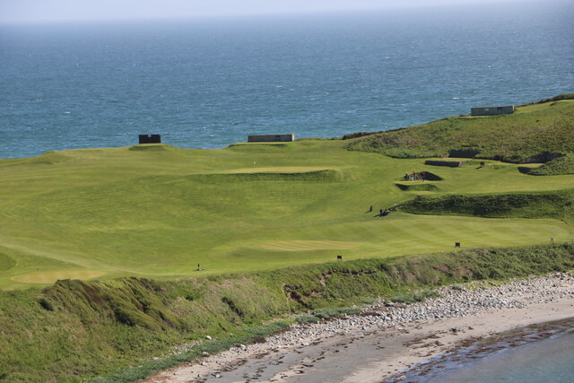
Benbuie is a small coastal marsh located in Wigtownshire, Scotland. Situated along the western coast, it is known for its unique ecosystem characterized by saltmarshes and saltings. Spanning an area of approximately 2 square kilometers, Benbuie is a haven for a diverse range of flora and fauna.

The marsh is predominantly covered with tall grasses and reeds, providing a habitat for various bird species such as curlews, oystercatchers, and wading birds. These birds can often be seen foraging for food along the marshes' edges. The saltings, which are areas of land that are regularly flooded with seawater, are home to a variety of salt-tolerant plants like samphire and sea lavender.

Benbuie's location on the coast also means that it is subject to the influence of tides and changing sea levels. During high tides, the marshes and saltings can become partially or completely submerged, creating a dynamic and ever-changing environment. This constant influx of saltwater not only shapes the landscape but also contributes to the unique plant and animal life found in this area.

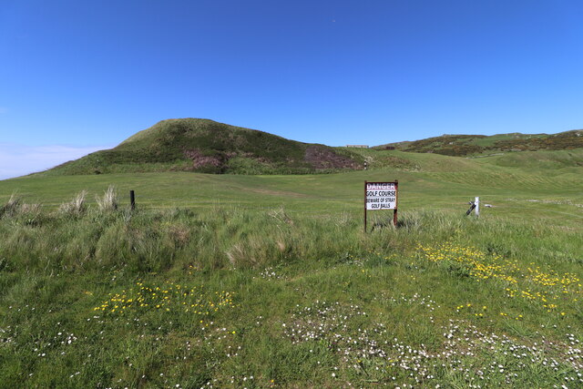
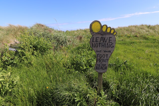
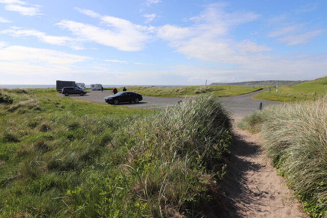
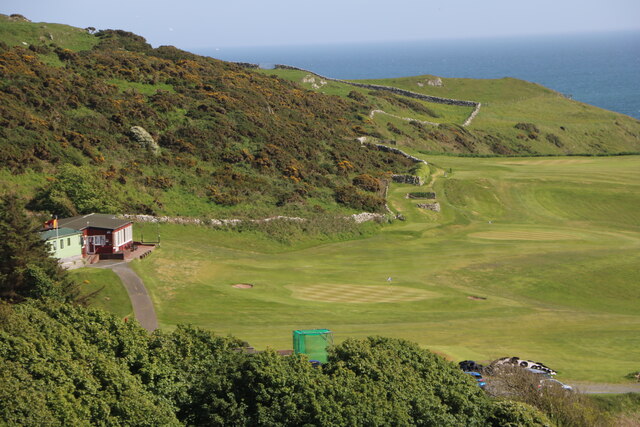
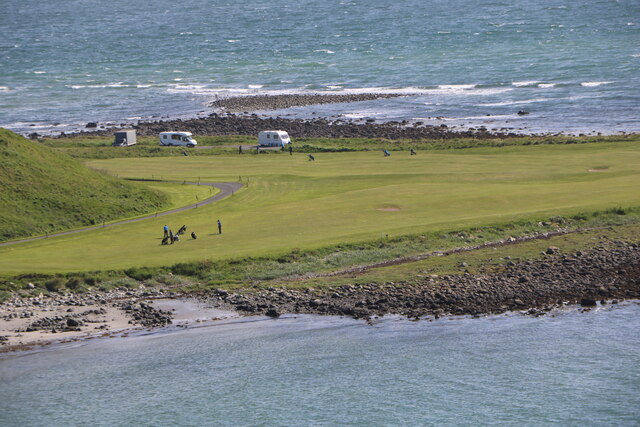
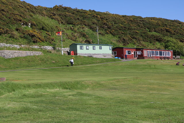
The marsh is a popular spot for nature enthusiasts and birdwatchers, who flock to the area to observe the diverse range of wildlife. A network of walking trails and observation points allows visitors to explore and appreciate the natural beauty of Benbuie. Additionally, educational programs and guided tours are available to learn more about the importance of this coastal marsh ecosystem and the efforts being made to conserve it.

If you have any feedback on the listing, please let us know in the comments section below.

Benbuie Images

Images are sourced within 2km of 54.722122/-4.5340033 or Grid Reference NX3639. Thanks to Geograph Open Source API. All images are credited.

Front Bay, Monreith Viewed from the Gavin Maxwell Otter Memorial. Looking towards St Medan Golf Course.
Front Bay, Monreith
Viewed from the Gavin Maxwell Otter Memorial. Looking towards St Medan Golf Course.
Shore at Front Bay, Monreith At Point of Lag looking over St Medan Golf Course. Viewed from the Gavin Maxwell Otter Memorial.
Shore at Front Bay, Monreith
At Point of Lag looking over St Medan Golf Course. Viewed from the Gavin Maxwell Otter Memorial.
Beware of Stray Golf Balls At St Medan Golf Course, viewed from Back Bay Car Park.
Beware of Stray Golf Balls
At St Medan Golf Course, viewed from Back Bay Car Park.
Car Park at Back Bay At Point of Lag, on the left is the toilet block.
Car Park at Back Bay
At Point of Lag, on the left is the toilet block.
Leave Nothing at Back Bay Sign at the car park at Point of Lag.
Leave Nothing at Back Bay
Sign at the car park at Point of Lag.
Back Bay near Monreith
Back Bay Car Park At Point of Lag near Monreith.
Back Bay Car Park
At Point of Lag near Monreith.
Shore at Back Bay Near Monreith.
Shore at Back Bay
Near Monreith.
Exit Road from Back Bay Car Park Road passes through St. Medan Golf Course.
Exit Road from Back Bay Car Park
Road passes through St. Medan Golf Course.
Rocks at Back Bay At Point of Lag near Monreith.
Rocks at Back Bay
At Point of Lag near Monreith.
St. Medan Golf Course With Clubhouse, viewed from Gavin Maxwell Otter Memorial.
St. Medan Golf Course
With Clubhouse, viewed from Gavin Maxwell Otter Memorial.
St. Medan Golf Course Near Monreith, vehicles are in a car park at Back Bay.
St. Medan Golf Course
Near Monreith, vehicles are in a car park at Back Bay.
St. Medan Golf Course Viewed from the Gavin Maxwell Otter Memorial near Monreith.
St. Medan Golf Course
Viewed from the Gavin Maxwell Otter Memorial near Monreith.
St. Medan Clubhouse Golf Course near Monreith.
St. Medan Clubhouse
Golf Course near Monreith.
St. Medan Golf Club Flag Golf Course near Monreith.
St. Medan Golf Club Flag
Golf Course near Monreith.
Rocky ground, Cairndoon A lot of land around Burrow Head is very rocky.
Rocky ground, Cairndoon
A lot of land around Burrow Head is very rocky.
View of the Scares Along with the Mull of Galloway, seen from the A747.
View of the Scares
Along with the Mull of Galloway, seen from the A747.
Rocky farmland, Garrarie
Show me another place!

Benbuie is located at Grid Ref: NX3639 (Lat: 54.722122, Lng: -4.5340033)

Unitary Authority: Dumfries and Galloway

Police Authority: Dumfries and Galloway

What 3 Words

///abacus.taxed.shady. Near Whithorn, Dumfries & Galloway

Related Wikis

Monreith

Monreith ([mɒn'ri:θ] / 'mon-REETH'; Scottish Gaelic: Am Monadh Rèidh) is a small seaside village in the Machars, in the historical county of Wigtownshire...

Wren's Egg

The Wren's Egg (grid reference NX 3610 4199) is the name given to a set of late Neolithic or Bronze Age stone monuments in the parish of Glasserton, Wigtownshire...

Monreith House

Monreith House is a category A listed Georgian mansion located 1.5 kilometres (0.93 mi) east of the village of Port William in Mochrum parish in the historical...

Drumtroddan standing stones

The Drumtroddan standing stones (grid reference NX 36449 44300) are a small Neolithic or Bronze Age stone alignment in the parish of Mochrum, Wigtownshire...

Nearby Amenities

Located within 500m of 54.722122,-4.5340033
Source: PGS
Lat/Long: 54.7231992/-4.541429
Source: PGS
Lat/Long: 54.7230505/-4.5411286
Source: PGS
Lat/Long: 54.7230381/-4.5407209
Source: PGS
Lat/Long: 54.7231744/-4.5400557
Source: PGS
Lat/Long: 54.7232859/-4.5395193
Source: PGS
Lat/Long: 54.723447/-4.5389614
Source: PGS
Lat/Long: 54.7236949/-4.537867
Source: PGS
Lat/Long: 54.7234594/-4.5358286
Source: PGS
Lat/Long: 54.7230753/-4.5355282
Source: PGS
Lat/Long: 54.7229265/-4.5350775
Source: PGS
Lat/Long: 54.722877/-4.5343051
Source: PGS
Lat/Long: 54.722447/-4.533421
Source: PGS
Lat/Long: 54.7220715/-4.5332322
Source: PGS
Lat/Long: 54.7219723/-4.5329103
Source: PGS
Lat/Long: 54.7219475/-4.532567
Source: PGS
Lat/Long: 54.722202/-4.532526
Source: PGS
Lat/Long: 54.7223813/-4.5319018
Source: PGS
Lat/Long: 54.72209/-4.531194
Source: PGS
Lat/Long: 54.7224804/-4.5308718
Source: PGS
Lat/Long: 54.721856/-4.529416
Source: PGS
Lat/Long: 54.721732/-4.529191
Source: PGS
Lat/Long: 54.7206215/-4.5289621
Source: PGS
Lat/Long: 54.720331/-4.528473
Source: PGS
Lat/Long: 54.7205099/-4.5279107
Source: PGS
Lat/Long: 54.7200142/-4.5271811
Toilets
Access: yes
Fee: no
Lat/Long: 54.723616/-4.5403921
The data included in this document is from www.openstreetmap.org. The data is made available under ODbL.

Have you been to Benbuie?

Leave your review of Benbuie below (or comments, questions and feedback).