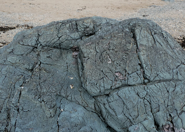
Carreg Ddewin
Coastal Marsh, Saltings in Anglesey
Wales
Carreg Ddewin
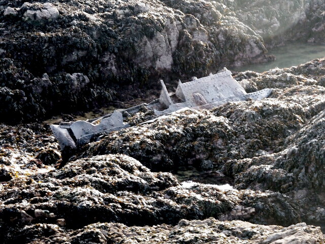
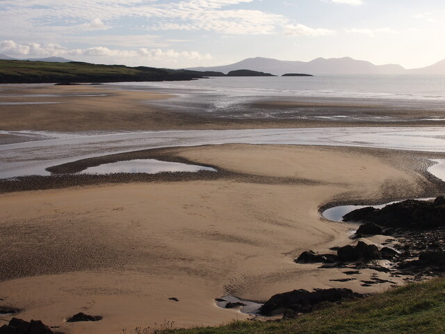
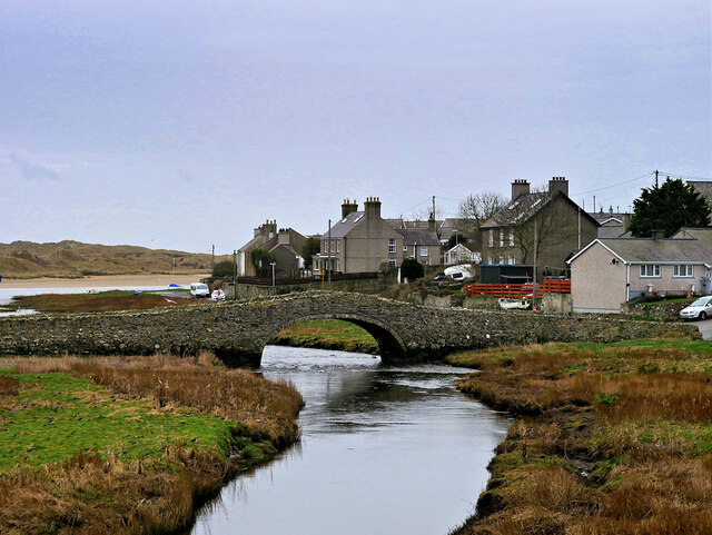
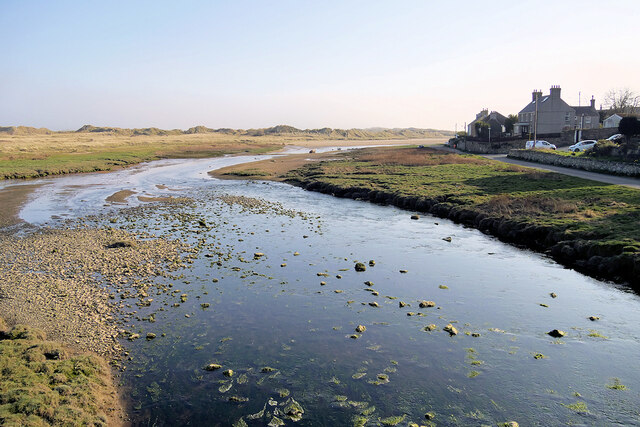
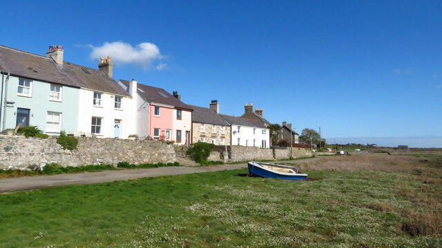
Carreg Ddewin is a coastal marsh located in Anglesey, Wales. It is known for its unique ecological characteristics and stunning natural beauty. The marsh is situated along the Menai Strait, a narrow stretch of water that separates Anglesey from the mainland.
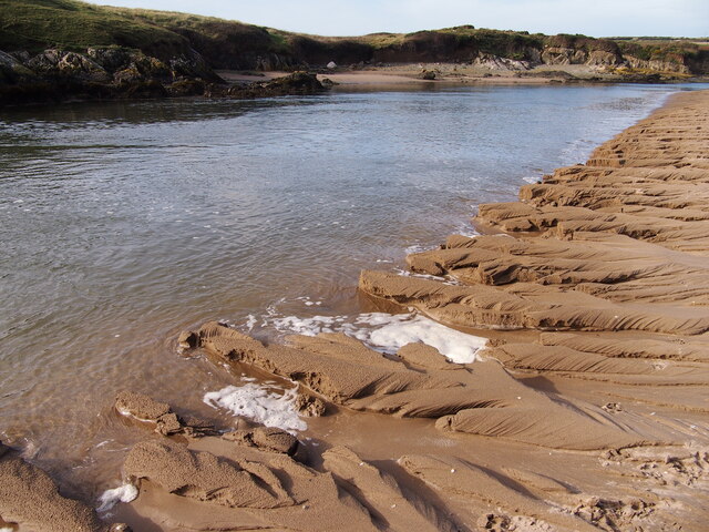
The marshland consists of a mixture of saltmarsh and mudflat, also referred to as "saltings." These saltings are formed by the deposition of sediment carried by the tides, creating a diverse and fertile habitat for a wide range of plant and animal species. The area is particularly famous for its birdlife, attracting numerous species of waders and waterfowl.
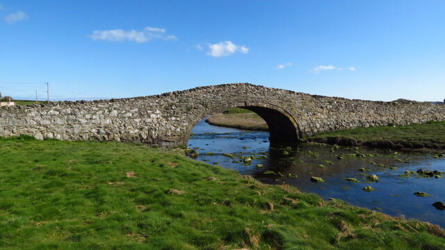
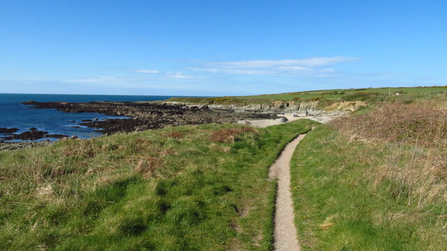
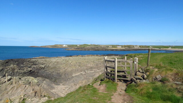
Carreg Ddewin offers a picturesque landscape with its vast open marshes, mudflats, and channels of water. It is a popular destination for both wildlife enthusiasts and photographers due to the abundance of birdlife and the stunning views it offers. The saltmarsh vegetation includes plants such as samphire, sea lavender, and sea aster, which thrive in the brackish conditions.
Visitors can explore the area by following the network of footpaths that meander through the marshes, providing opportunities for birdwatching and enjoying the serene surroundings. The Menai Strait also offers opportunities for boat trips and water-based activities, allowing visitors to appreciate the marshland from a different perspective.
Carreg Ddewin is not only a haven for wildlife but also serves as an important ecological site, as the saltmarshes play a crucial role in protecting the coastline from erosion and providing a natural barrier against storm surges.
Overall, Carreg Ddewin is a must-visit destination for nature lovers, offering a unique and enchanting coastal marsh experience.
If you have any feedback on the listing, please let us know in the comments section below.
Carreg Ddewin Images
Images are sourced within 2km of 53.178083/-4.4609761 or Grid Reference SH3567. Thanks to Geograph Open Source API. All images are credited.


Carreg Ddewin is located at Grid Ref: SH3567 (Lat: 53.178083, Lng: -4.4609761)
Unitary Authority: Isle of Anglesey
Police Authority: North Wales
What 3 Words
///newlywed.motivator.food. Near Rhosneigr, Isle of Anglesey
Nearby Locations
Related Wikis

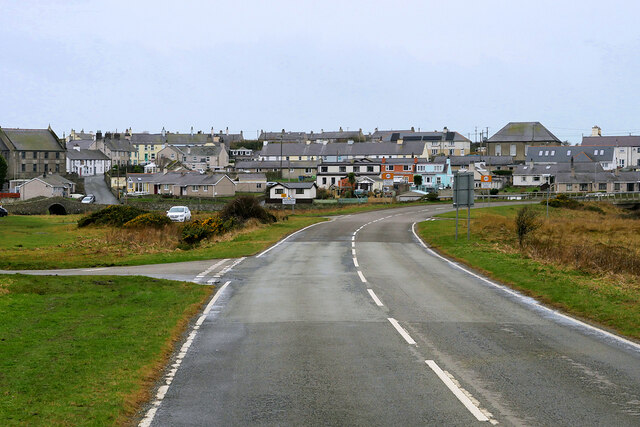
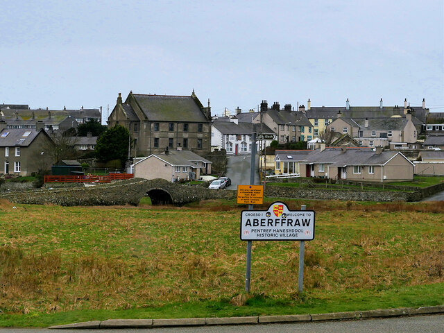
Aberffraw
Aberffraw is a village and community on the south west coast of the Isle of Anglesey in Wales. The village is 9 miles from the island's capital, Llangefni...

St Beuno's Church, Aberffraw
St Beuno's Church, Aberffraw is a 12th-century parish church in Anglesey, north Wales. A church was established in Aberffraw in the 7th century by St Beuno...
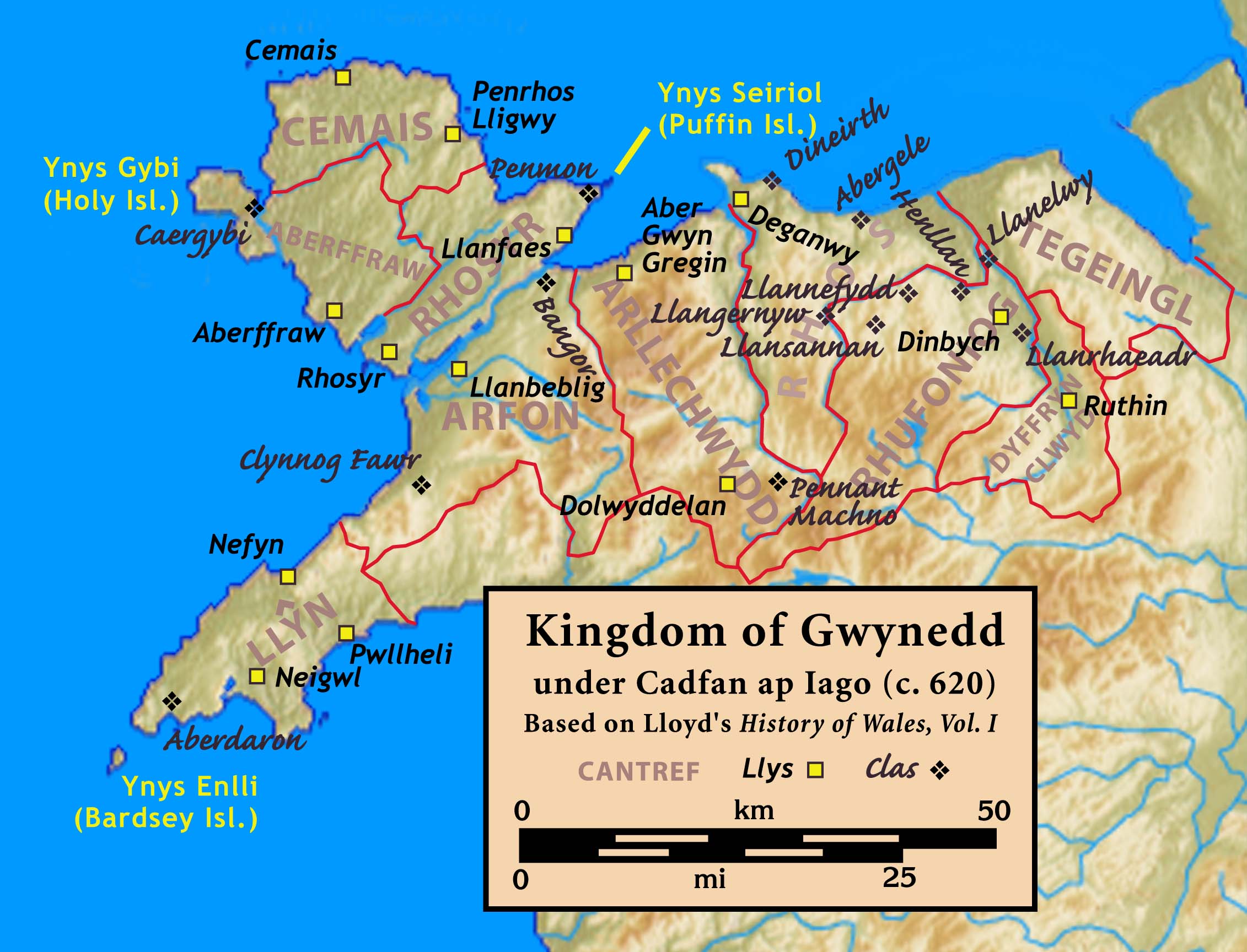
Aberffraw (cantref)
Aberffraw was one of the three medieval cantrefs on the island of Anglesey, north Wales, in the Kingdom of Gwynedd as a cadet branch, named the House of...

St Cwyfan's Church, Llangwyfan
St Cwyfan's Church (Welsh: Eglwys Cwyfan) is a Grade II*-listed medieval church in Llangadwaladr, Anglesey, Wales. Located on the small tidal island of...
Nearby Amenities
Located within 500m of 53.178083,-4.4609761Have you been to Carreg Ddewin?
Leave your review of Carreg Ddewin below (or comments, questions and feedback).