Àird na Slaite
Coastal Marsh, Saltings in Argyllshire
Scotland
Àird na Slaite
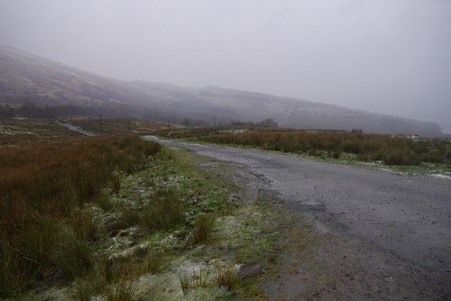
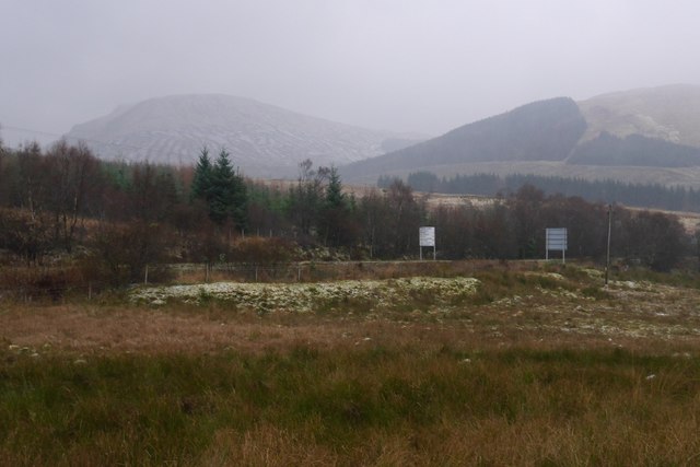
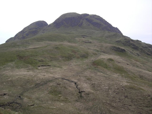
Àird na Slaite, located in Argyllshire, Scotland, is a coastal marsh area characterized by its unique saltings. The region is known for its diverse ecosystem and scenic beauty, attracting nature enthusiasts and tourists alike.
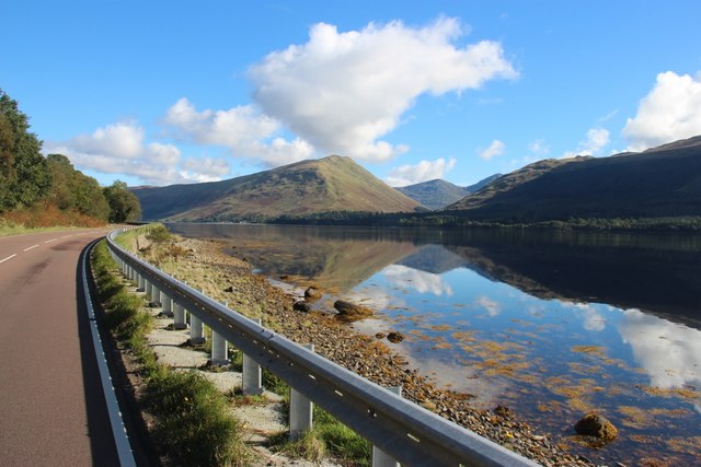
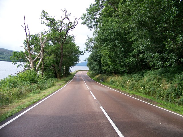
The marshland is situated along the coast, offering breathtaking views of the sea and surrounding landscapes. It is a haven for various bird species, making it an ideal spot for birdwatching. Migratory birds such as waders, geese, and ducks can be spotted during different seasons, adding to the allure of the area.
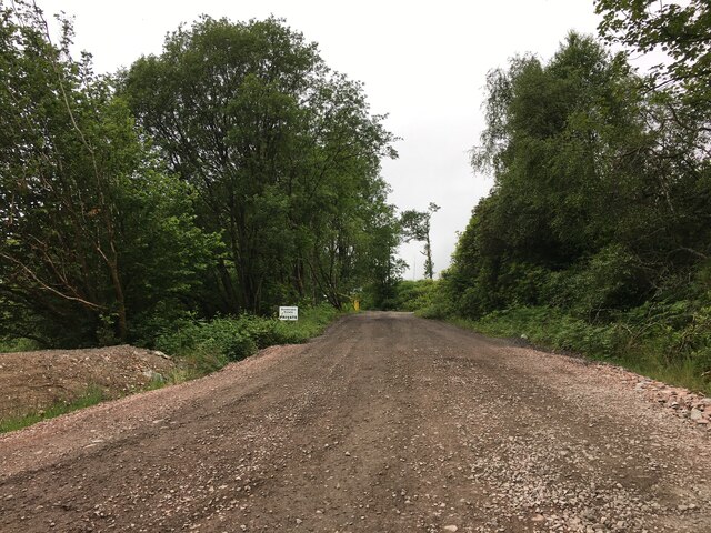
The saltings, which are salt marshes, are a prominent feature of Àird na Slaite. These marshes are formed by the tidal flow, resulting in an abundance of salt-tolerant plants and vegetation. The salt marshes serve as important habitats for numerous species of plants and animals, including rare and endangered ones. The unique ecology of the saltings provides a rich feeding ground for diverse marine creatures, including fish, crabs, and mollusks.
Visitors to Àird na Slaite can explore the marshland through designated trails and walkways, allowing them to appreciate the natural beauty of the area while minimizing disturbance to the fragile ecosystem. Interpretive signs and information boards are placed strategically along these trails, providing educational insights about the flora, fauna, and ecological significance of the region.
Overall, Àird na Slaite in Argyllshire offers a captivating combination of coastal marshes, saltings, and stunning views. Its ecological importance, coupled with its scenic allure, makes it a must-visit destination for nature enthusiasts and those seeking a peaceful retreat amidst pristine natural surroundings.
If you have any feedback on the listing, please let us know in the comments section below.
Àird na Slaite Images
Images are sourced within 2km of 56.231243/-5.0047251 or Grid Reference NN1308. Thanks to Geograph Open Source API. All images are credited.


Àird na Slaite is located at Grid Ref: NN1308 (Lat: 56.231243, Lng: -5.0047251)
Unitary Authority: Argyll and Bute
Police Authority: Argyll and West Dunbartonshire
What 3 Words
///calls.unhelpful.described. Near Inveraray, Argyll & Bute
Nearby Locations
Related Wikis
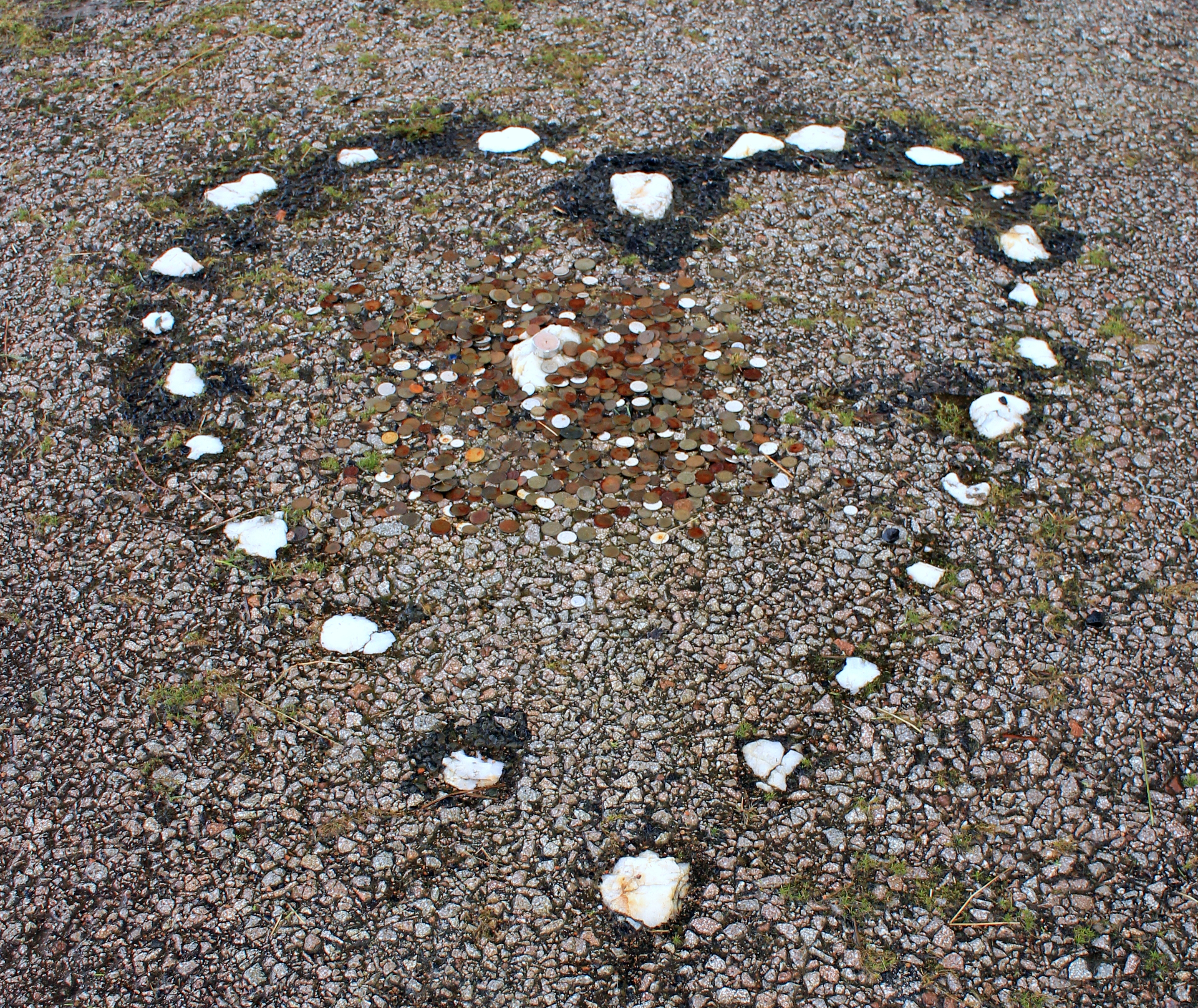
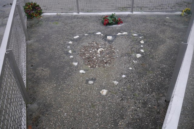
The Tinkers' Heart
The Tinkers' Heart is a Scottish Travellers' commemorative monument near Loch Fyne in Argyll and Bute, Scotland. It is also known as the Gypsy's Heart...

St Catherines, Argyll
St Catherines; (Scottish Gaelic: Cill Chaitrìona) is a village, on the Cowal peninsula in Argyll and Bute, Scottish Highlands. It is located on the banks...

River Shira
River Shira (Scottish Gaelic: Siara / Abhainn Siara) is the river that runs for about 7 miles through Glen Shira, originating to the north-east at 350...

Ardkinglas
Ardkinglas House is a Category A listed country house on the Ardkinglas Estate in Argyll, Scotland. The estate lies on the eastern shore of Loch Fyne,...

Hell's Glen
Hell's Glen is a glen on the Cowal Peninsula, in the Arrochar Alps between the mountains Cruach nam Mult and Stob an Eas. To the west, it leads to Loch...
Cruach nam Mult
Cruach nam Mult is a mountain in the Arrochar Alps, Argyll, Scotland which lies to the southern side of Hell's Glen. The mountain is near Loch Fyne and...

Inveraray Jail
Inveraray Jail is a former prison and courthouse in Church Square, Inveraray, Argyll and Bute, Scotland. It was built in 1820 and is a Category A listed...

Inveraray
Inveraray ( or ; Scottish Gaelic: Inbhir Aora pronounced [iɲɪɾʲˈɯːɾə] meaning "mouth of the Aray") is a town in Argyll and Bute, Scotland. It is on the...
Related Videos

Happy campers St Catherines loch fyne
Posted by request by a father taking his 3 sons wild camping making memories at St Catherines on loch Fyne Scotland filmed by ...
Nearby Amenities
Located within 500m of 56.231243,-5.0047251Have you been to Àird na Slaite?
Leave your review of Àird na Slaite below (or comments, questions and feedback).