Àird Trìlleachan
Coastal Marsh, Saltings in Argyllshire
Scotland
Àird Trìlleachan
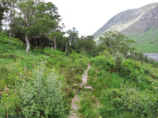
Àird Trìlleachan is a coastal marsh and saltings located in Argyllshire, Scotland. This area is renowned for its unique and diverse ecosystem, making it an important natural habitat for various flora and fauna.
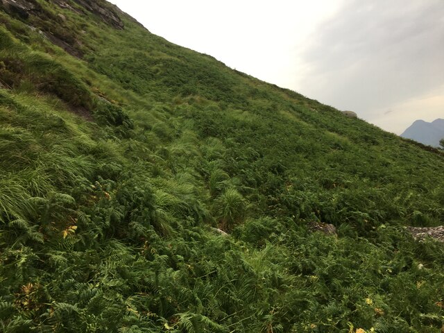
Situated between the sea and the surrounding land, Àird Trìlleachan is characterized by its vast expanse of marshes and salt flats. The marshes are formed by the accumulation of organic matter in the low-lying areas, creating a rich and fertile environment for plant growth. This, in turn, attracts a wide range of bird species, making it a popular spot for birdwatchers.
The saltings, on the other hand, are areas of land that are regularly flooded by the tides. These tidal marshes are home to a variety of salt-tolerant plants, such as samphire and sea lavender. The brackish water provides a feeding ground for numerous species of fish, crustaceans, and other marine creatures.
The diverse ecosystem of Àird Trìlleachan supports a wide range of wildlife. Visitors to the area may have the opportunity to spot wading birds like curlews, oystercatchers, and herons. Migratory birds, such as geese and ducks, also frequent the marshes during certain times of the year.
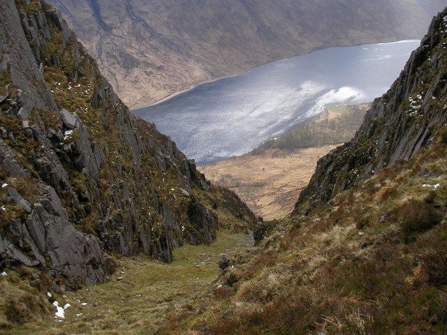
In addition to its ecological importance, Àird Trìlleachan offers stunning views of the surrounding landscape. The marshes and saltings are framed by rolling hills and rugged coastline, creating a picturesque setting for nature enthusiasts and photographers.
Overall, Àird Trìlleachan in Argyllshire is a remarkable coastal marsh and saltings that offers a rich and diverse ecosystem, attracting a variety of bird species and providing a beautiful backdrop for visitors to enjoy.
If you have any feedback on the listing, please let us know in the comments section below.
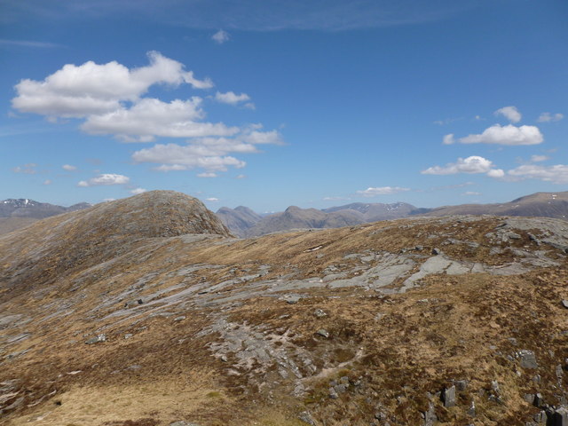
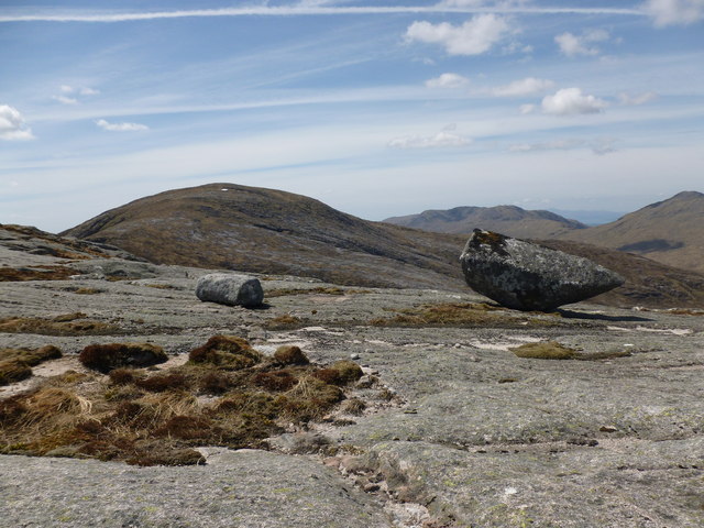
Àird Trìlleachan Images
Images are sourced within 2km of 56.541839/-5.0896188 or Grid Reference NN1043. Thanks to Geograph Open Source API. All images are credited.


Àird Trìlleachan is located at Grid Ref: NN1043 (Lat: 56.541839, Lng: -5.0896188)
Unitary Authority: Highland
Police Authority: Highlands and Islands
What 3 Words
///universal.leafing.viewer. Near Glencoe, Highland
Nearby Locations
Related Wikis

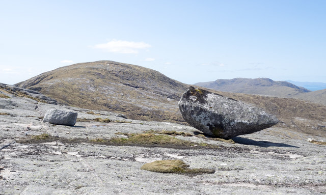
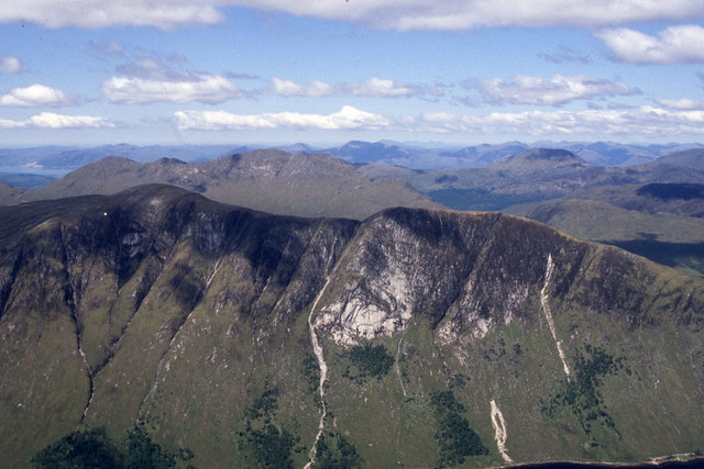
Beinn Trilleachan
Beinn Trilleachean (840 m) is a mountain in the Grampian Mountains, north of the village of Taynuilt at the head of Loch Etive. It lies on the border of...

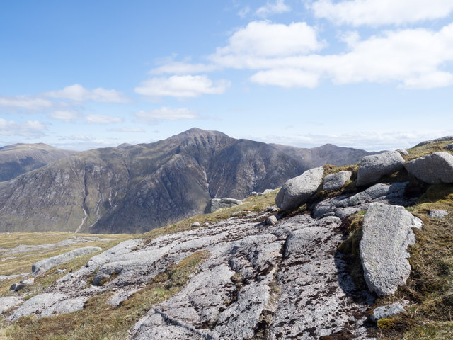
Ben Starav
Ben Starav (Scottish Gaelic: Beinn Starabh) is a mountain in the Lorn region of Argyll, in the Scottish Highlands. It is a Munro that rises 1,078 metres...

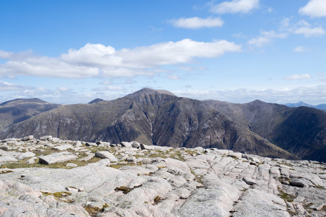
Glas Bheinn Mhòr (Munro)
Glas Bheinn Mhor (997 m) is a mountain in the Grampian Mountains of Scotland, south of Glen Etive. The Argyll and Bute and Highland border straddles its...

Beinn nan Aighenan
Beinn nan Aighenan is a 960-metre (3,150 ft) high mountain in the Grampian Mountains of Scotland. It lies in Argyll and Bute, north of the village of Taynuilt...
Nearby Amenities
Located within 500m of 56.541839,-5.0896188Have you been to Àird Trìlleachan?
Leave your review of Àird Trìlleachan below (or comments, questions and feedback).