Achlais na Creige
Coastal Marsh, Saltings in Argyllshire
Scotland
Achlais na Creige

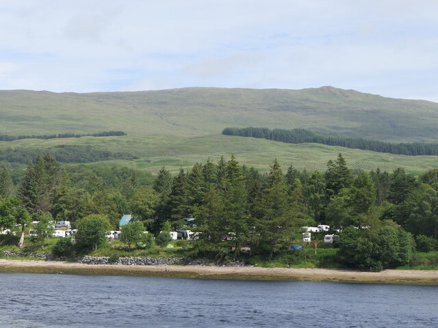
Achlais na Creige, located in Argyllshire, Scotland, is a picturesque coastal marsh surrounded by saltings. This unique ecosystem is characterized by its rich biodiversity and stunning natural beauty.
The marsh is situated between rocky cliffs and the shoreline, creating a transition zone between land and sea. The area is dominated by a variety of salt-tolerant plants, known as halophytes, which thrive in the brackish water and muddy soil. These plants, such as sea lavender and glasswort, provide important habitat and food sources for numerous animal species.
The coastal marsh is a haven for birdwatchers, as it attracts a wide range of avian species throughout the year. During the breeding season, common sightings include oystercatchers, redshanks, and lapwings, which nest in the vegetation or on the rocky outcrops. In the winter months, migratory birds like curlews and knot gather in large numbers, taking advantage of the abundant food sources found in the marsh.
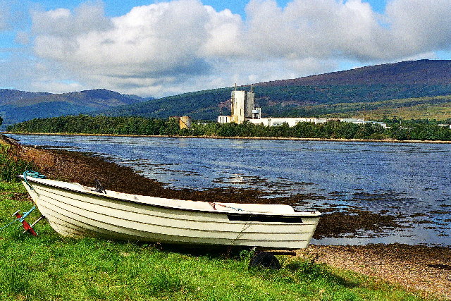
In addition to its avian residents, Achlais na Creige is home to various other wildlife. Otters can often be spotted hunting for fish in the tidal channels, while seals can be seen basking on the rocks. The marsh also supports a diverse array of invertebrates, including crabs, snails, and worms, which play a crucial role in the ecosystem's food chain.
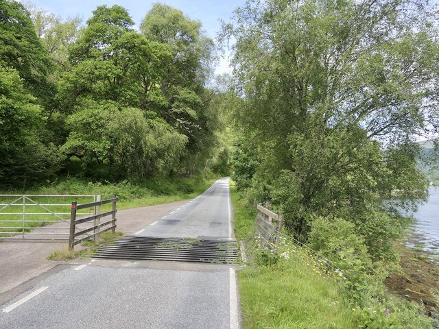
Achlais na Creige is not only a haven for wildlife but also a place of natural beauty. Its tranquil surroundings, with the rugged cliffs and expansive views of the sea, make it a popular spot for nature enthusiasts and photographers. Visitors can explore the marsh via a network of footpaths, allowing them to appreciate the diverse range of habitats and wildlife that call this coastal marsh home.
If you have any feedback on the listing, please let us know in the comments section below.
Achlais na Creige Images
Images are sourced within 2km of 56.840514/-5.1619787 or Grid Reference NN0776. Thanks to Geograph Open Source API. All images are credited.


Achlais na Creige is located at Grid Ref: NN0776 (Lat: 56.840514, Lng: -5.1619787)
Unitary Authority: Highland
Police Authority: Highlands and Islands
What 3 Words
///dockers.indicate.coiling. Near Fort William, Highland
Nearby Locations
Related Wikis
Achaphubuil
Achaphubuil (Scottish Gaelic: Achadh a' Phùbaill- the field of the tent or pavilion) is a small settlement to the north of Ardgour in Lochaber, in the...

Blaich
Blaich (Scottish Gaelic: Blàthaich – as a noun, "buttermilk", or as a verb, "to heat/warm up") is a small community, on the south shore of Loch Eil on...
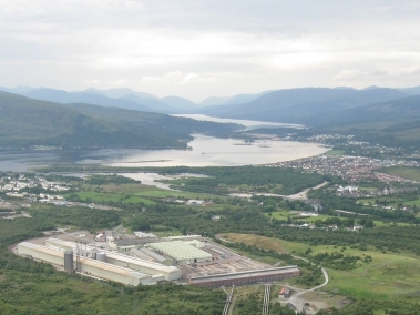
Corpach
Corpach (Scottish Gaelic: A' Chorpaich) is a large village north of Fort William, in the Scottish Highlands. The canal lock at Corpach Basin on Loch Linnhe...
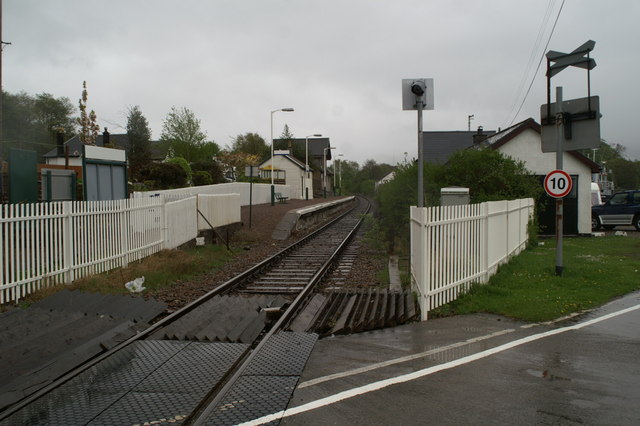
Corpach railway station
Corpach railway station is a railway station serving the village of Corpach in the Highland region of Scotland. This station is on the West Highland Line...
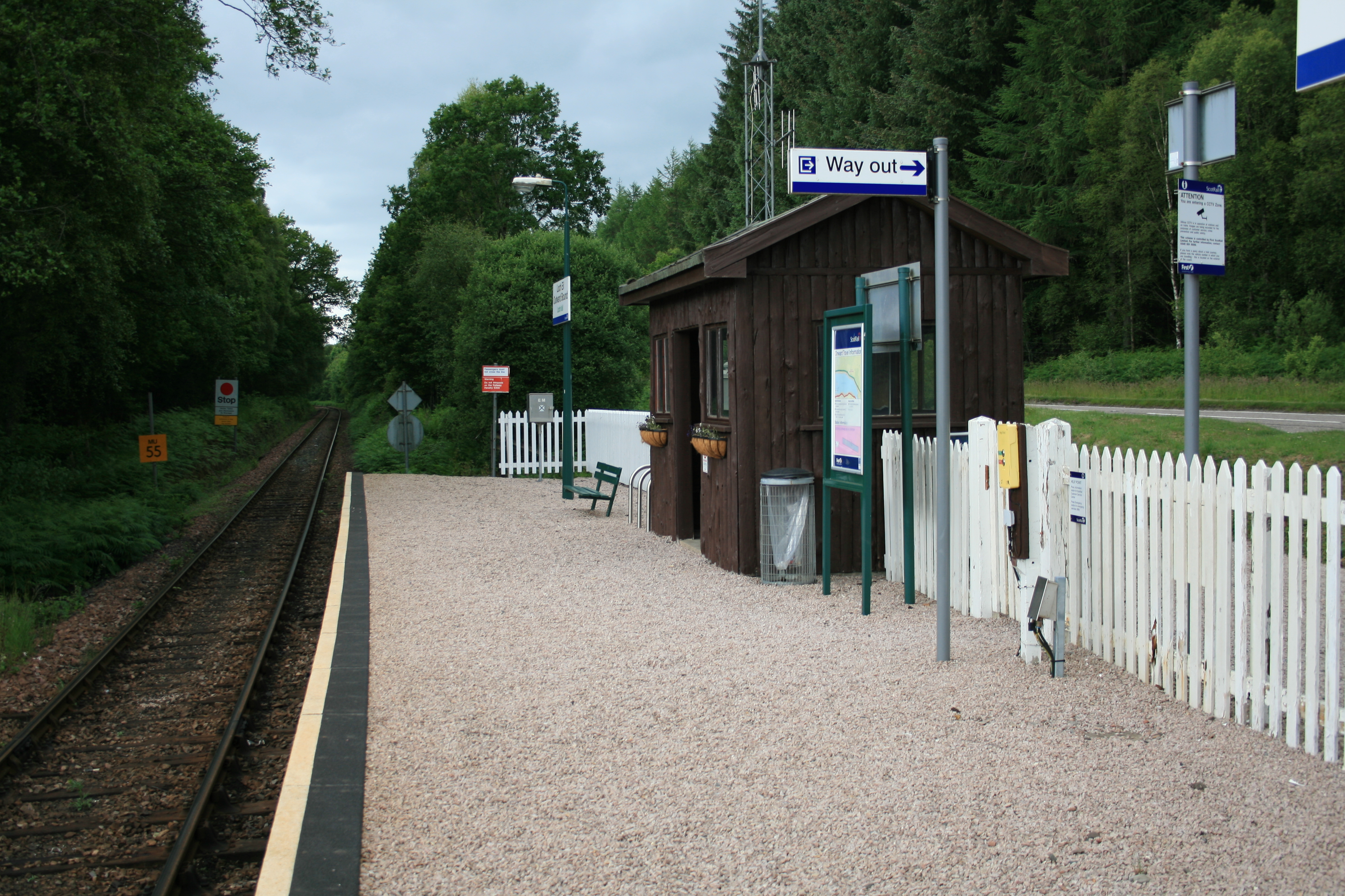
Loch Eil Outward Bound railway station
Loch Eil Outward Bound railway station is a railway station on the northern bank of Loch Eil in the Highland region of Scotland. This station is on the...
Battle of Corpach
The Battle of Corpach was a Scottish clan battle in which the Clan Cameron routed the Clan Maclean. It took place around 1470 at Corpach, just north of...
Trislaig
Trislaig (Scottish Gaelic: Trìoslaig) is a small coastal hamlet on the north eastern shores of Loch Linnhe, and is situated directly across from Fort...
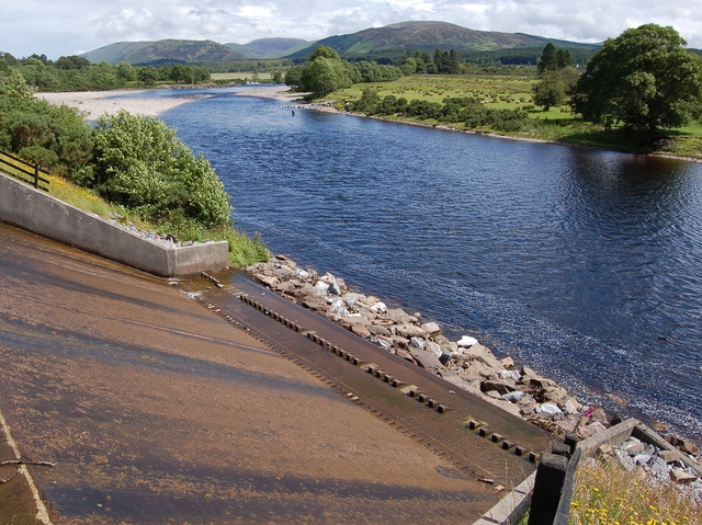
River Lochy
The River Lochy flows southwest along the Great Glen from Loch Lochy to Loch Linnhe at Fort William in the West Highlands of Scotland. Its two major tributaries...
Nearby Amenities
Located within 500m of 56.840514,-5.1619787Have you been to Achlais na Creige?
Leave your review of Achlais na Creige below (or comments, questions and feedback).