The Narrows
Sea, Estuary, Creek in Argyllshire
Scotland
The Narrows

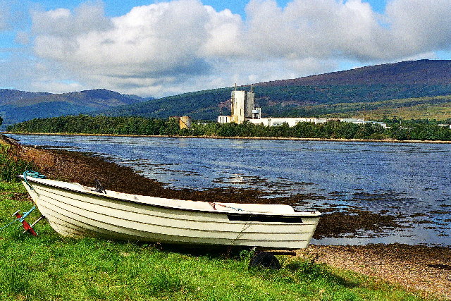
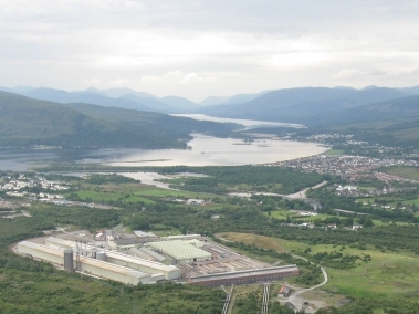
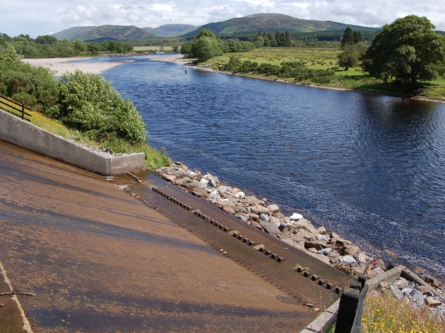
The Narrows is a picturesque waterway located in Argyllshire, Scotland. Nestled between towering cliffs and rolling green hills, this stunning natural feature is a popular destination for both locals and tourists alike.
The Narrows is essentially a narrow, winding channel that connects the sea to an estuary or creek. It is characterized by its calm, crystal-clear waters that change color depending on the weather and time of day. During low tide, the channel narrows even further, giving it its name and creating a unique and enchanting atmosphere.
The surrounding landscape is a sight to behold, with steep cliffs rising high above the water, covered in lush vegetation. The cliffs provide a natural barrier from the elements, creating a sheltered and serene environment. The area is home to a diverse range of wildlife, including seabirds, fish, and marine mammals, which can often be spotted swimming or flying around the channel.
The Narrows offers a variety of recreational activities for visitors. Kayaking and boating are popular choices, allowing people to explore the channel and take in the breathtaking scenery. Fishing is also a common pastime, with the waters teeming with a variety of fish species.
For those seeking a more relaxed experience, there are several walking trails along the cliffs, offering panoramic views of the Narrows and the surrounding countryside. These trails are ideal for nature lovers and photographers, providing ample opportunities to capture the beauty of the area.
In conclusion, The Narrows in Argyllshire is a natural wonder that combines stunning coastal scenery with a tranquil waterway. Its unique blend of cliffs, clear waters, and abundant wildlife make it a must-visit destination for anyone seeking a peaceful and awe-inspiring experience in Scotland.
If you have any feedback on the listing, please let us know in the comments section below.
The Narrows Images
Images are sourced within 2km of 56.839962/-5.1571595 or Grid Reference NN0776. Thanks to Geograph Open Source API. All images are credited.


The Narrows is located at Grid Ref: NN0776 (Lat: 56.839962, Lng: -5.1571595)
Unitary Authority: Highland
Police Authority: Highlands and Islands
What 3 Words
///acting.that.obscuring. Near Fort William, Highland
Nearby Locations
Related Wikis
Achaphubuil
Achaphubuil (Scottish Gaelic: Achadh a' Phùbaill- the field of the tent or pavilion) is a small settlement to the north of Ardgour in Lochaber, in the...
Corpach
Corpach (Scottish Gaelic: A' Chorpaich) is a large village north of Fort William, in the Scottish Highlands. The canal lock at Corpach Basin on Loch Linnhe...
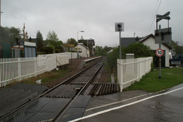
Corpach railway station
Corpach railway station is a railway station serving the village of Corpach in the Highland region of Scotland. This station is on the West Highland Line...
Battle of Corpach
The Battle of Corpach was a Scottish clan battle in which the Clan Cameron routed the Clan Maclean. It took place around 1470 at Corpach, just north of...

Trislaig
Trislaig (Scottish Gaelic: Trìoslaig) is a small coastal hamlet on the north eastern shores of Loch Linnhe, and is situated directly across from Fort...
Blaich
Blaich (Scottish Gaelic: Blàthaich – as a noun, "buttermilk", or as a verb, "to heat/warm up") is a small community, on the south shore of Loch Eil on...
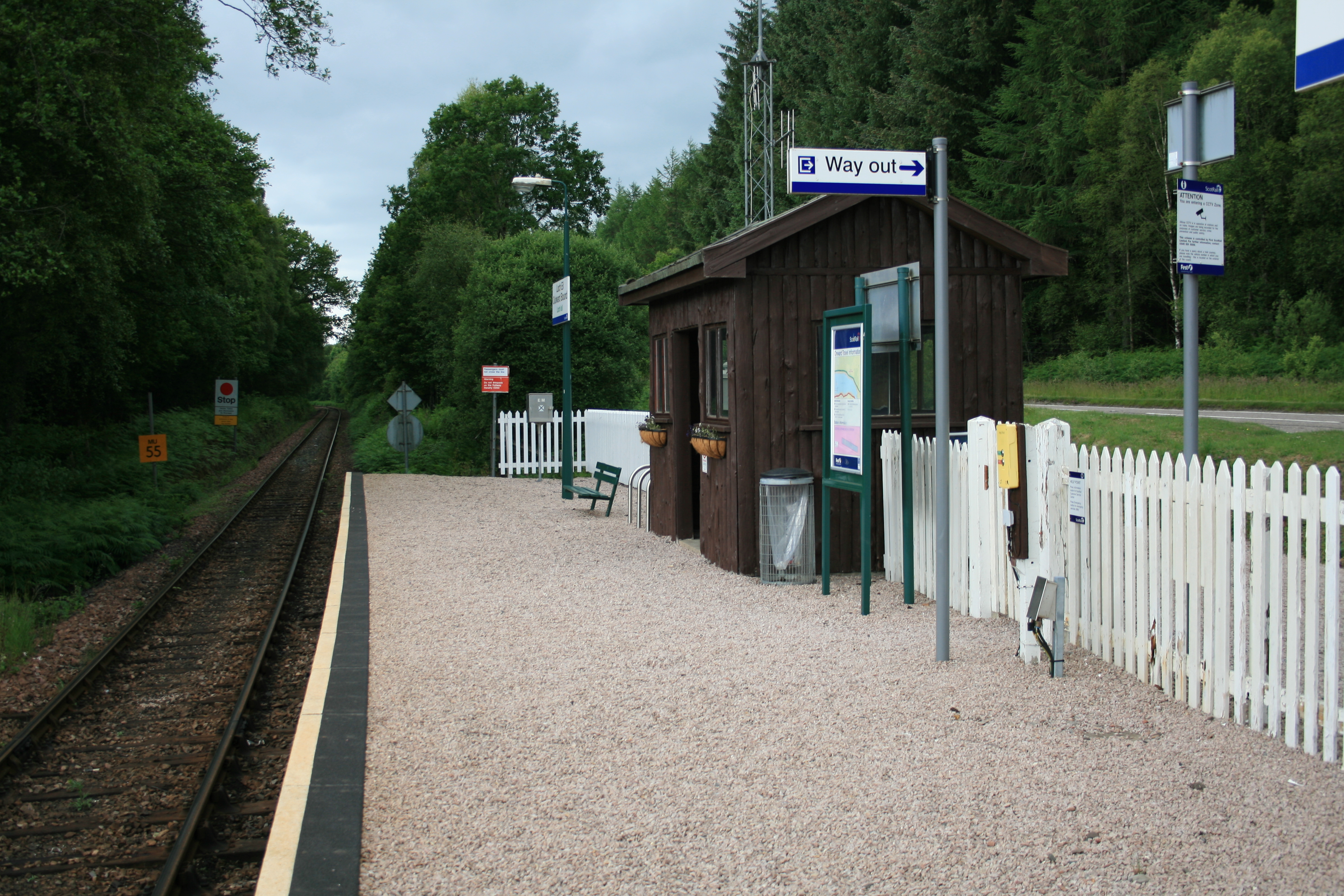
Loch Eil Outward Bound railway station
Loch Eil Outward Bound railway station is a railway station on the northern bank of Loch Eil in the Highland region of Scotland. This station is on the...
River Lochy
The River Lochy flows southwest along the Great Glen from Loch Lochy to Loch Linnhe at Fort William in the West Highlands of Scotland. Its two major tributaries...
Nearby Amenities
Located within 500m of 56.839962,-5.1571595Have you been to The Narrows?
Leave your review of The Narrows below (or comments, questions and feedback).