Aber Trwyn
Coastal Marsh, Saltings in Pembrokeshire
Wales
Aber Trwyn

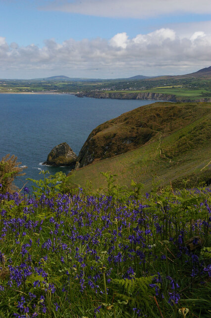
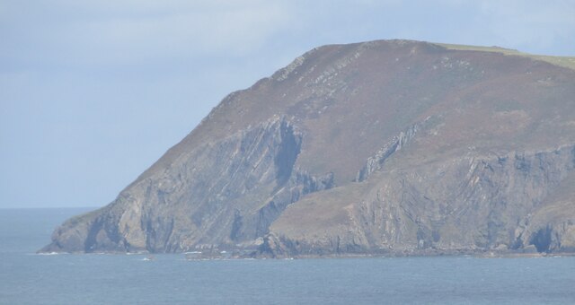
Aber Trwyn is a coastal marsh and saltings located in Pembrokeshire, on the western coast of Wales. This unique ecosystem is situated at the mouth of the River Nevern, where it meets the Irish Sea. The area is known for its diverse range of flora and fauna, making it a popular spot for nature enthusiasts and birdwatchers.
The marsh is characterized by its extensive mudflats, salt marshes, and sand dunes, providing a variety of habitats for different species. The salt marshes are an important breeding ground and feeding area for many bird species, including wading birds such as redshanks, curlews, and oystercatchers. It is also a significant site for wintering wildfowl, attracting large numbers of teal, wigeon, and shelduck.
The surrounding sand dunes are home to a rich array of plant life, including sea holly, sea buckthorn, and marram grass, which help stabilize the dunes and prevent erosion. The marsh itself is home to a range of marine invertebrates, such as cockles, lugworms, and shrimp, which provide a vital food source for many bird species.
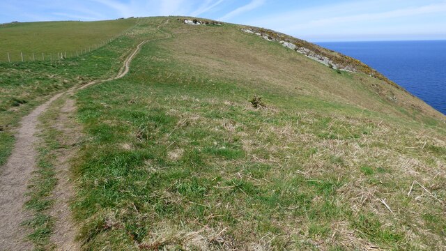
Visitors to Aber Trwyn can enjoy a network of footpaths and nature trails that wind through the marsh, allowing them to explore and observe the diverse wildlife. The site is managed by a local conservation organization, which works to protect and enhance the natural habitats and ensure the long-term sustainability of this important coastal ecosystem.
If you have any feedback on the listing, please let us know in the comments section below.
Aber Trwyn Images
Images are sourced within 2km of 52.027516/-4.893003 or Grid Reference SN0140. Thanks to Geograph Open Source API. All images are credited.


Aber Trwyn is located at Grid Ref: SN0140 (Lat: 52.027516, Lng: -4.893003)
Unitary Authority: Pembrokeshire
Police Authority: Dyfed Powys
What 3 Words
///vowel.such.lightbulb. Near Newport, Pembrokeshire
Nearby Locations
Related Wikis


Related Videos
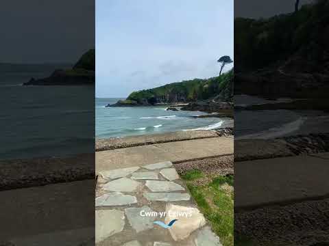
Cwm yr Eglwys ⛪️
Book a holiday cottage near Cwm yr Eglwys: https://bit.ly/3NS4oPw #coast #visitwales #coastalcottages #pembrokeshire #travel ...

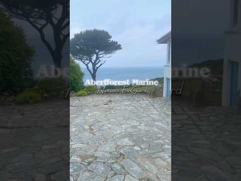
Listen to the sounds of this wonderful Welsh waterfall 😍
coast #visitwales #coastalcottages #pembrokeshire #travel #wales #visitpembrokeshire #holiday #beach #aberfforest #waterfall ...

Ynys Dinas: A Spectacular Walk in Pembrokeshire
As we continue to explore Wales in our Ford Transit Custom Nugget campervan, this vlog takes us on our first family hike in ...
Nearby Amenities
Located within 500m of 52.027516,-4.893003Have you been to Aber Trwyn?
Leave your review of Aber Trwyn below (or comments, questions and feedback).