Faoileann an Triain
Coastal Marsh, Saltings in Inverness-shire
Scotland
Faoileann an Triain

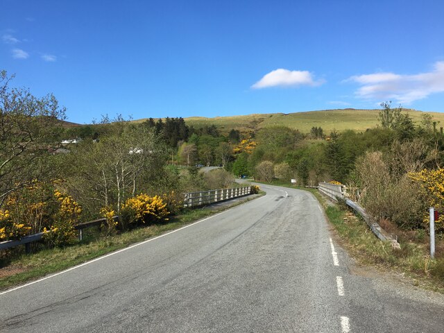
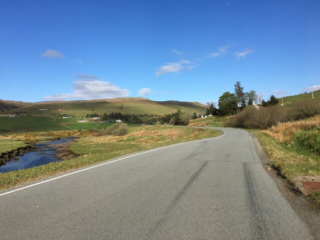
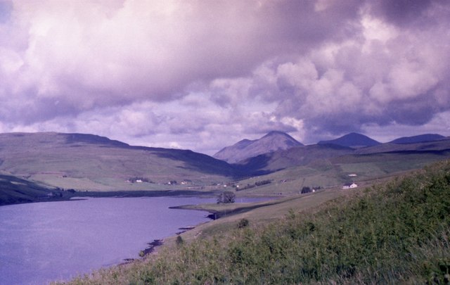
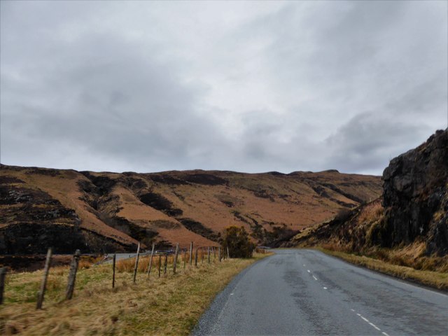
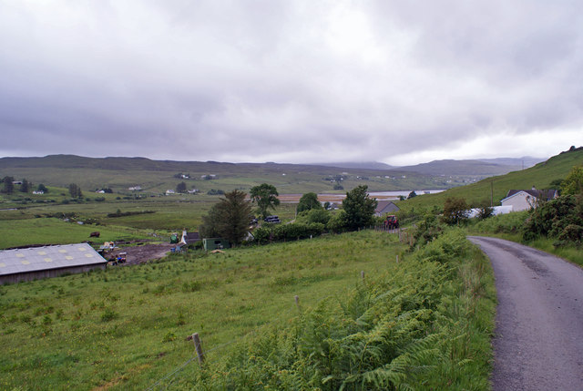
Faoileann an Triain, located in Inverness-shire, is a coastal marsh and saltings area famous for its diverse ecosystem and stunning natural beauty. Stretching across a vast expanse, the marsh is situated along the coast, making it an important habitat for a wide range of bird species and other wildlife.
The marsh is characterized by its unique combination of wetlands, saltwater pools, and sand dunes, creating a dynamic and ever-changing landscape. The area is particularly renowned for its birdlife, attracting both resident and migratory species throughout the year. Visitors can spot a variety of waterfowl, waders, and seabirds, including curlews, oystercatchers, and herons.
In addition to its avian inhabitants, Faoileann an Triain is also home to a diverse range of plant species. The salt-tolerant vegetation thrives in the marshy conditions, with plants such as sea lavender, sea aster, and saltmarsh grasses dominating the landscape.
The marsh also serves as an important breeding ground for several species of fish, providing a vital nursery habitat for their young. This, in turn, attracts larger predators such as otters and seals, creating a delicate balance within the ecosystem.
With its tranquil atmosphere and unparalleled natural beauty, Faoileann an Triain is a popular destination for nature enthusiasts, birdwatchers, and photographers. The area offers various walking trails, allowing visitors to explore and appreciate the unique flora and fauna that call this coastal marsh their home.
If you have any feedback on the listing, please let us know in the comments section below.
Faoileann an Triain Images
Images are sourced within 2km of 57.297734/-6.3211382 or Grid Reference NG3931. Thanks to Geograph Open Source API. All images are credited.


Faoileann an Triain is located at Grid Ref: NG3931 (Lat: 57.297734, Lng: -6.3211382)
Unitary Authority: Highland
Police Authority: Highlands and Islands
What 3 Words
///each.recliner.clenching. Near Carbost, Highland
Nearby Locations
Related Wikis

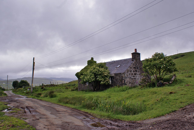
Drynoch
Drynoch (Scottish Gaelic: An Droighneach) is a settlement on the south east tip of Loch Harport on the west coast of Skye in the Highlands of Scotland...

Carbost, Loch Harport
Carbost (Scottish Gaelic: Càrrabost) is a village on the south-west shore of Loch Harport on the Minginish peninsula of the Isle of Skye in Scotland....
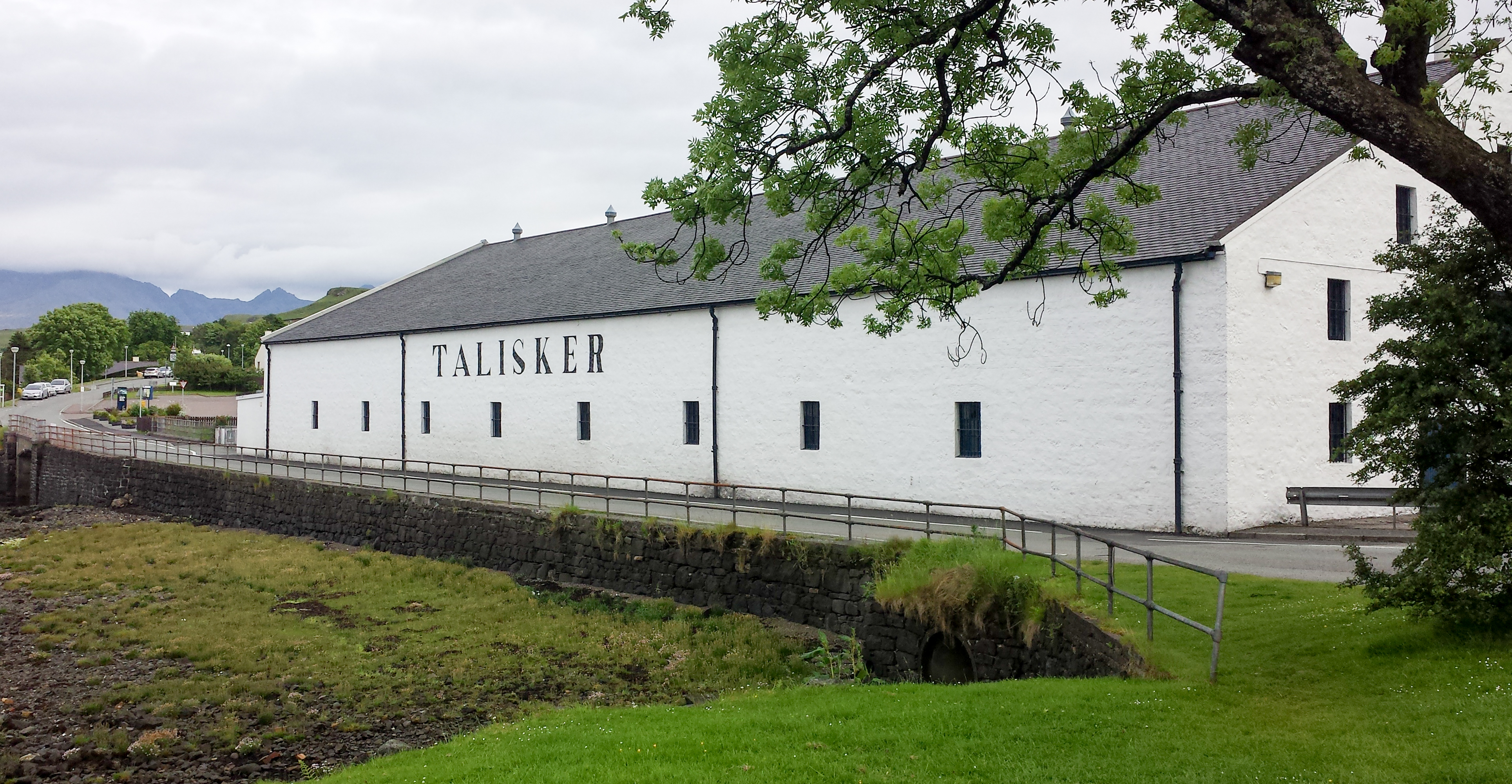
Talisker distillery
Talisker distillery is an island single malt Scotch whisky distillery based in Carbost, Scotland on the Minginish Peninsula on the Isle of Skye. The distillery...

Eynort
Eynort (Scottish Gaelic: Aoineart) is a small remote hamlet, situated at the head of Loch Eynort, on the west coast of the Isle of Skye, Scottish Highlands...
Nearby Amenities
Located within 500m of 57.297734,-6.3211382Have you been to Faoileann an Triain?
Leave your review of Faoileann an Triain below (or comments, questions and feedback).