Rubha Luidhneis
Coastal Marsh, Saltings in Argyllshire
Scotland
Rubha Luidhneis
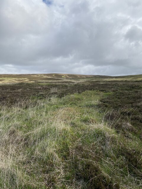
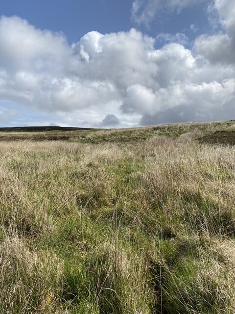
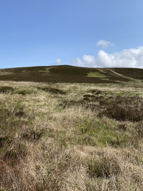
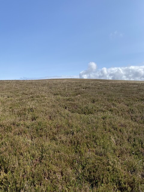
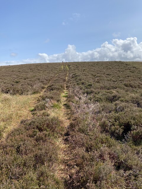
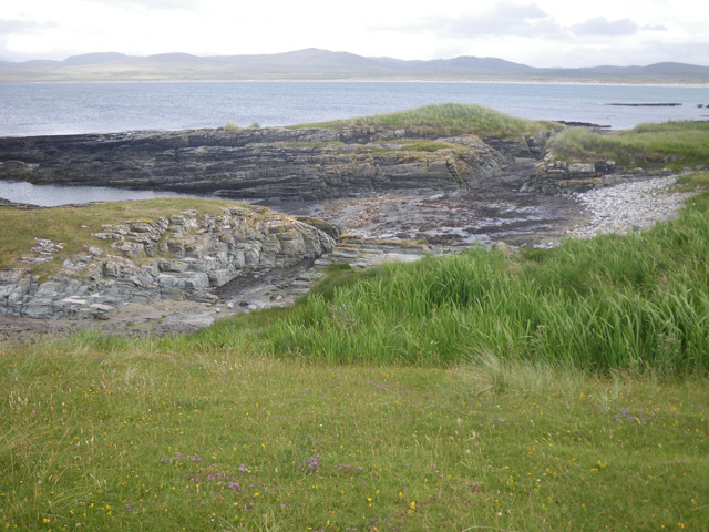
Rubha Luidhneis, located in Argyllshire, Scotland, is a captivating coastal marsh characterized by its unique saltings. Situated on the western coast of Scotland, Rubha Luidhneis offers a stunning and diverse landscape that attracts both nature enthusiasts and adventure seekers alike.
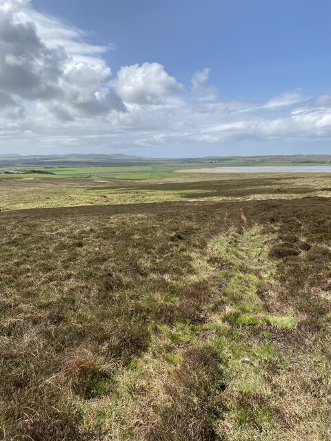
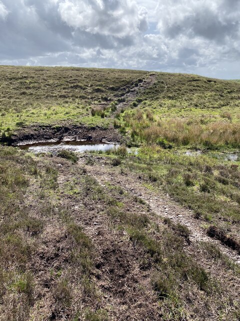
The main feature of Rubha Luidhneis is its coastal marsh, which is a biodiverse ecosystem teeming with various plant and animal species. The marsh is composed of salt-tolerant vegetation, including grasses, sedges, and rushes, which thrive in the saline conditions. This creates a visually striking landscape, with the vibrant green hues of the vegetation contrasting against the surrounding coastal backdrop.
The marsh also serves as a haven for numerous bird species, making it an ideal spot for birdwatching. Visitors can expect to spot a variety of wading birds, such as herons, oystercatchers, and curlews, as well as seabirds like gulls and terns. The marsh provides an essential feeding ground for these birds, particularly during migration seasons.
Adjacent to the marsh are the saltings, which are salt flats formed by the deposition of saltwater. These areas are home to a range of unique plant species that have adapted to the high salt content, including samphire and sea lavender. The saltings create a striking contrast against the marsh, with their pale, barren appearance.
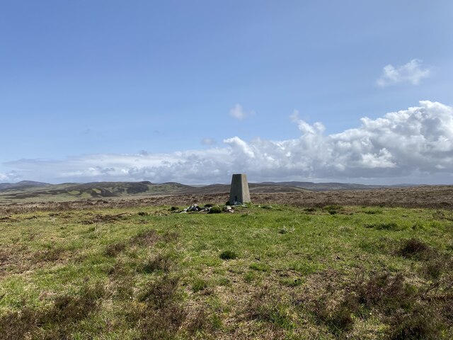
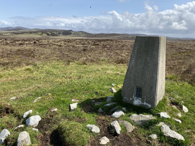
Rubha Luidhneis is not only a haven for wildlife but also offers breathtaking coastal views, with rugged cliffs and crashing waves providing a dramatic backdrop. The area is also rich in history, with ancient ruins and archaeological sites scattered throughout the landscape.
Overall, Rubha Luidhneis in Argyllshire is a captivating destination for those seeking to immerse themselves in the beauty of Scotland's coastal marshes and saltings, offering an enchanting blend of biodiversity, natural beauty, and historical significance.
If you have any feedback on the listing, please let us know in the comments section below.
Rubha Luidhneis Images
Images are sourced within 2km of 55.834494/-6.3283242 or Grid Reference NR2968. Thanks to Geograph Open Source API. All images are credited.


Rubha Luidhneis is located at Grid Ref: NR2968 (Lat: 55.834494, Lng: -6.3283242)
Unitary Authority: Argyll and Bute
Police Authority: Argyll and West Dunbartonshire
What 3 Words
///flinch.bookcases.cycles. Near Bridgend, Argyll & Bute
Nearby Locations
Related Wikis

Gruinart Flats
The Gruinart Flats is a low-lying landform on the western part of the isle of Islay in Scotland. The locale is an important conservation area, having been...

Battle of Traigh Ghruinneart
The Battle of Traigh Ghruinneart or in Scottish Gaelic Blàr Tràigh Ghruineart or sometimes called the Battle of Gruinart Strand was a Scottish clan battle...

Loch Gruinart
Loch Gruinart (Scottish Gaelic: Loch Gruinneard from the Old Norse, meaning "shallow fjord") is a sea loch on the northern coast of isle of Islay in Scotland...
Ardnave Point
Ardnave Point (Scottish Gaelic, Àird an Naoimh) is a coastal promontory on the northwest of Islay, a Scottish island. This landform has a rocky northern...
Related Videos

RSPB Loch Gruinart Nature Walk, Islay
RSPB Loch Gruinart Nature Walk, Islay Down the road from the RSPB Loch Gruinart you can walk down to a Bird Watching hut ...

RSPB Loch Gruinart visitor centre, Islay
RSPB Loch Gruinart visitor centre. Down the road from the RSPB Loch Gruinart you can walk down to a Bird Watching hut ...
Nearby Amenities
Located within 500m of 55.834494,-6.3283242Have you been to Rubha Luidhneis?
Leave your review of Rubha Luidhneis below (or comments, questions and feedback).