Oitir nam Bò
Coastal Marsh, Saltings in Argyllshire
Scotland
Oitir nam Bò
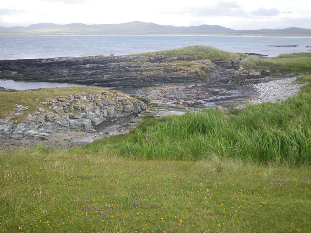
Oitir nam Bò, located in Argyllshire, Scotland, is a coastal marsh area known for its unique and diverse ecological characteristics. Also referred to as Coastal Marsh or Saltings, this region is situated along the western coast of Scotland, facing the Atlantic Ocean.
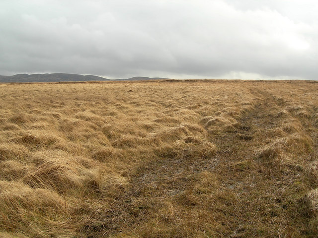
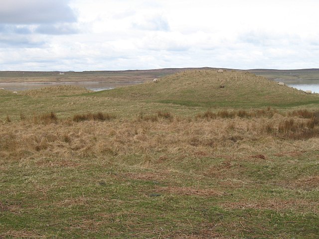
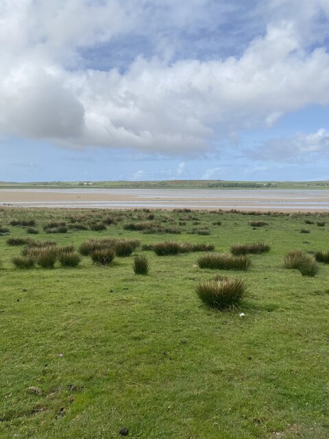
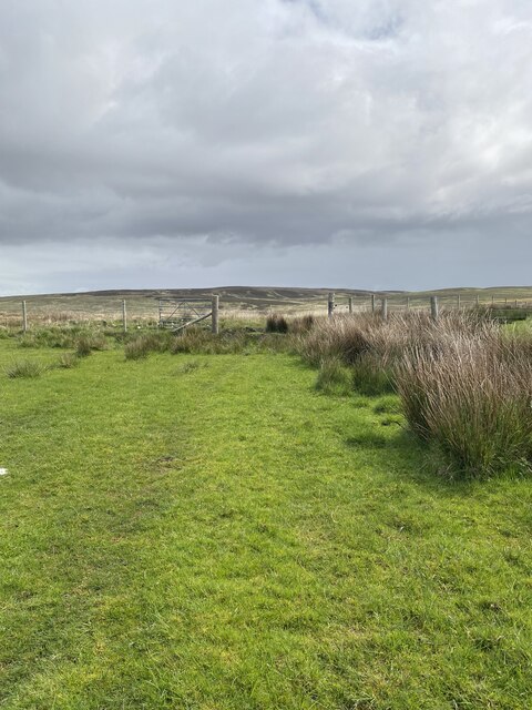
Covering an expansive area, Oitir nam Bò is characterized by its vast stretches of salt marshes and saltings. These marshes are created by the accumulation of sediment and organic matter brought in by the tides. The area is heavily influenced by the ebb and flow of the tides, resulting in a dynamic and ever-changing landscape.
This coastal marsh is home to a wide array of plant and animal species, making it a significant ecological hotspot. The marsh vegetation comprises a variety of salt-tolerant plants, such as saltmarsh grasses, sea lavender, and samphire. These plants provide crucial habitats and feeding grounds for numerous bird species, including curlews, oystercatchers, and redshanks.
The marshes of Oitir nam Bò also serve as important breeding grounds for various marine species, including fish, shellfish, and crustaceans. The nutrient-rich sediments and brackish waters create an ideal environment for these organisms to thrive.
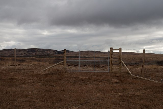
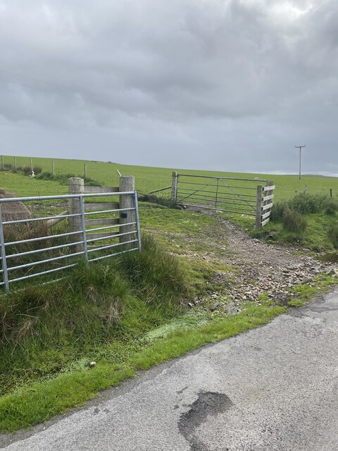
In addition to its ecological importance, Oitir nam Bò also holds cultural significance. It has been used for centuries by local communities for grazing livestock such as cattle and sheep. The traditional practice of common grazing continues to this day, maintaining the balance between conservation and sustainable land use.
Overall, Oitir nam Bò is a remarkable coastal marsh area that plays a vital role in supporting a diverse range of plant and animal life. Its unique ecological and cultural significance make it an area of great importance and interest to researchers, conservationists, and visitors alike.
If you have any feedback on the listing, please let us know in the comments section below.
Oitir nam Bò Images
Images are sourced within 2km of 55.842641/-6.3355453 or Grid Reference NR2869. Thanks to Geograph Open Source API. All images are credited.


Oitir nam Bò is located at Grid Ref: NR2869 (Lat: 55.842641, Lng: -6.3355453)
Unitary Authority: Argyll and Bute
Police Authority: Argyll and West Dunbartonshire
What 3 Words
///hacksaw.universes.erupts. Near Bridgend, Argyll & Bute
Nearby Locations
Related Wikis

Battle of Traigh Ghruinneart
The Battle of Traigh Ghruinneart or in Scottish Gaelic Blàr Tràigh Ghruineart or sometimes called the Battle of Gruinart Strand was a Scottish clan battle...

Gruinart Flats
The Gruinart Flats is a low-lying landform on the western part of the isle of Islay in Scotland. The locale is an important conservation area, having been...

Loch Gruinart
Loch Gruinart (Scottish Gaelic: Loch Gruinneard from the Old Norse, meaning "shallow fjord") is a sea loch on the northern coast of isle of Islay in Scotland...
Ardnave Point
Ardnave Point (Scottish Gaelic, Àird an Naoimh) is a coastal promontory on the northwest of Islay, a Scottish island. This landform has a rocky northern...
Nearby Amenities
Located within 500m of 55.842641,-6.3355453Have you been to Oitir nam Bò?
Leave your review of Oitir nam Bò below (or comments, questions and feedback).