Aonaig nan Fiadh

Coastal Marsh, Saltings in Ross-shire

Scotland

Aonaig nan Fiadh

Erratic Boulder above Loch nan Uidhean An erratic boulder between Loch nan Uidhean and Loch na Creage 
Lionta in the Aird Mhor.
Erratic Boulder above Loch nan Uidhean Credit: Marc Calhoun

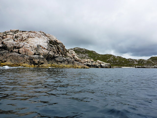
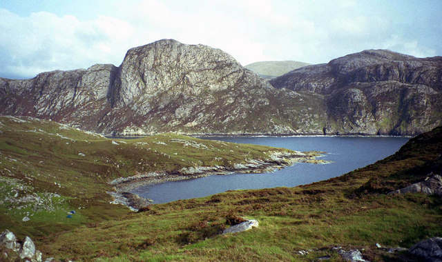
Aonaig nan Fiadh, located in Ross-shire, Scotland, is a coastal marsh and salt marsh area that stretches along the coastline. This unique ecosystem is characterized by a diverse range of flora and fauna, making it a renowned site for nature enthusiasts and researchers alike.

The marshland is situated where fresh water from the land meets the saltwater of the sea, creating a brackish environment that supports a variety of plant species. The area is dominated by salt-tolerant grasses, rushes, and sedges, which thrive in the marshy conditions. These plants play a crucial role in stabilizing the soil and preventing erosion.

Aonaig nan Fiadh provides an important habitat for a wide range of wildlife. The salt marsh acts as a nursery ground for many fish species, including sea trout and flounders, while the mudflats attract wading birds such as curlews, oystercatchers, and redshanks. Migratory birds also frequent the area during their seasonal journeys, adding to the diversity of species found here.

Visitors to Aonaig nan Fiadh can explore the marshland via designated footpaths that wind through the area, offering panoramic views of the coastline and surrounding landscape. The site provides an excellent opportunity for birdwatching, with several bird hides strategically placed for observation.

Efforts have been made to protect Aonaig nan Fiadh's delicate ecosystem, and it is recognized as a Site of Special Scientific Interest (SSSI). Conservation measures include monitoring water quality, managing invasive species, and promoting public awareness of the area's ecological importance.

Overall, Aonaig nan Fiadh in Ross-shire is a valuable coastal marsh and salt marsh habitat, providing a haven for a diverse range of plant and animal species and offering visitors a unique and educational experience.

If you have any feedback on the listing, please let us know in the comments section below.

Aonaig nan Fiadh Images

Images are sourced within 2km of 58.0473/-7.0543392 or Grid Reference NB0117. Thanks to Geograph Open Source API. All images are credited.
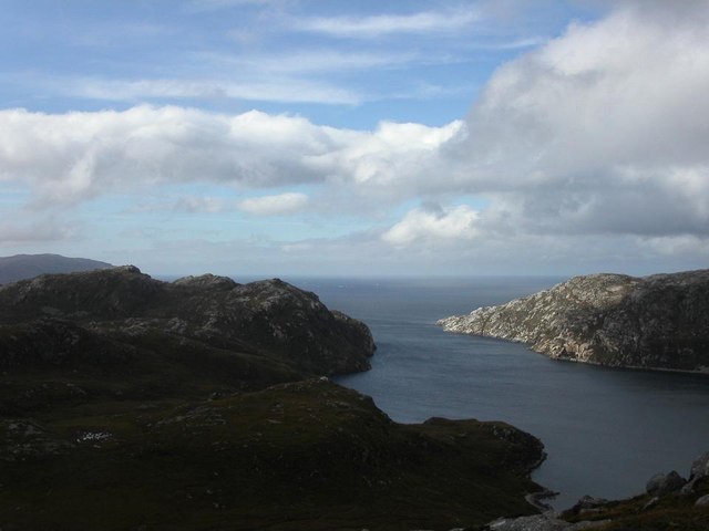
Erratic Boulder above Loch nan Uidhean An erratic boulder between Loch nan Uidhean and Loch na Creage 
Lionta in the Aird Mhor.
Erratic Boulder above Loch nan Uidhean
An erratic boulder between Loch nan Uidhean and Loch na Creage Lionta in the Aird Mhor.
Mullach na h-Airde Bige Second HuMP around the northern edge of Loch Resort on an Alan Holmes RIB trip. What a brilliant day.
Name: Mullach na h-Airde Bige
Hill number: 4947
Height: 182m / 597ft
Area: 24A: Lewis and Nearby Islands
Class: Hu,1
Grid ref: NB026188 (est)
Drop: 128m
Col: 54m  NB044194
Mullach na h-Airde Bige
Second HuMP around the northern edge of Loch Resort on an Alan Holmes RIB trip. What a brilliant day. Name: Mullach na h-Airde Bige Hill number: 4947 Height: 182m / 597ft Area: 24A: Lewis and Nearby Islands Class: Hu,1 Grid ref: NB026188 (est) Drop: 128m Col: 54m NB044194
Steep Climb From Landing Point For Mullach na h-Airde Bige Our boatman Neil was a little worried by the steep climb up from our landing point. It proved to be no problem for Douglas Law, Alan Holmes, George Morl, Michael Earnshaw, Jim Bloomer, Martin Richardson, Mark Smith, Richard Tibbetts and Colin Crawford who were soon on top of the HuMP, Mullach na h-Airde Bige.
Steep Climb From Landing Point For Mullach na h-Airde Bige
Our boatman Neil was a little worried by the steep climb up from our landing point. It proved to be no problem for Douglas Law, Alan Holmes, George Morl, Michael Earnshaw, Jim Bloomer, Martin Richardson, Mark Smith, Richard Tibbetts and Colin Crawford who were soon on top of the HuMP, Mullach na h-Airde Bige.
Eoranish More Bagged on a RIB trip with 8 others to the HuMPs north of Loch Resort. Looking west towards Mullach na h-Airde Bige.
Name: Eoranish More
Hill number: 104363
Height: 158m / 518ft
Area: 24A: Lewis and Nearby Islands
Class: 1
Grid ref: NB032188 (est)
Drop: 79m
Col: 79m
Eoranish More
Bagged on a RIB trip with 8 others to the HuMPs north of Loch Resort. Looking west towards Mullach na h-Airde Bige. Name: Eoranish More Hill number: 104363 Height: 158m / 518ft Area: 24A: Lewis and Nearby Islands Class: 1 Grid ref: NB032188 (est) Drop: 79m Col: 79m
Meall nan Sidhean [Meall nan Sithean] Last of four HuMPs around the north of Loch Resort on an Alan Holmes RIB trip. What a brilliant day. The summit is one of 3 tops in a line with the middle rocky top being lower than the tops on either side.
Name: Meall nan Sidhean [Meall nan Sithean]
Hill number: 4948
Height: 177m / 581ft
Area: 24A: Lewis and Nearby Islands
Class: Hu,1
Grid ref: NB024175 (est)
Drop: 122m
Col: 55m  NB039176
Meall nan Sidhean [Meall nan Sithean]
Last of four HuMPs around the north of Loch Resort on an Alan Holmes RIB trip. What a brilliant day. The summit is one of 3 tops in a line with the middle rocky top being lower than the tops on either side. Name: Meall nan Sidhean [Meall nan Sithean] Hill number: 4948 Height: 177m / 581ft Area: 24A: Lewis and Nearby Islands Class: Hu,1 Grid ref: NB024175 (est) Drop: 122m Col: 55m NB039176
View Across To Coirnis View across to Coirnis, 77 metres and a P30 hill. This is close to the spot that the RIB tender boat collected us after climbing Meall nan Sidhean.
View Across To Coirnis
View across to Coirnis, 77 metres and a P30 hill. This is close to the spot that the RIB tender boat collected us after climbing Meall nan Sidhean.
Rubha Geodha nan Sgarbh The entrance to Loch Tealasvay is well concealed close to the right of the picture.
Rubha Geodha nan Sgarbh
The entrance to Loch Tealasvay is well concealed close to the right of the picture.
A deep cleft
A deep cleft
Rubha Càrnach
Rubha Càrnach
Mol Tealasbhaigh Even in this remote inlet on the Atlantic Western Seaboard of Harris there is much evidence of plastic litter
Mol Tealasbhaigh
Even in this remote inlet on the Atlantic Western Seaboard of Harris there is much evidence of plastic litter
Loch Thamnabhaigh Entrance A sheltered sealoch and anchorage in south west Lewis.
Loch Thamnabhaigh Entrance
A sheltered sealoch and anchorage in south west Lewis.
Looking from Conagar towards Meall Mor
Rough and undulating moorland on Aird Bheag
Unnamed lochan on Mullach na h-Airde Bige
Coastguard rescue 100 landing on Mullach na h-Airde Bige
Gearraidh na h-Airde Moire The bay of Tob a' Ghearraidh seen from the hillside below Loch na Coirnish. The bay lies at the foot of Gearraidh na h-Airde Moire (the pasture of the big headland). In the near distance is Rubha nan Uan (point of the lambs), and in the far distance rocky Taran Mor rises 1,000 feet above the shores of Loch Resort.
Gearraidh na h-Airde Moire
The bay of Tob a' Ghearraidh seen from the hillside below Loch na Coirnish. The bay lies at the foot of Gearraidh na h-Airde Moire (the pasture of the big headland). In the near distance is Rubha nan Uan (point of the lambs), and in the far distance rocky Taran Mor rises 1,000 feet above the shores of Loch Resort.
Loch Tealasbhaigh
Loch Tealasbhaigh
Show me another place!

Aonaig nan Fiadh is located at Grid Ref: NB0117 (Lat: 58.0473, Lng: -7.0543392)

Unitary Authority: Na h-Eileanan an Iar

Police Authority: Highlands and Islands

What 3 Words

///icicles.insert.angry. Near Tarbert, Na h-Eileanan Siar

Related Wikis

Scarp, Scotland

Scarp (Scottish Gaelic: An Sgarp) is an uninhabited island in the Outer Hebrides of Scotland, west of Hushinish on Harris. Once inhabited, the island was...

Eilean Mhealasta

Eilean Mhealasta (Mealista Island) is an uninhabited island off the west coast of Lewis in the Outer Hebrides of Scotland. It takes its name from Mealista...

Hushinish

Huisinish or Hushinish (Scottish Gaelic Hùisinis) is a remote place on the west coast of Harris in the Outer Hebrides of Scotland. It lies at the end of...

Game pieces of the Lewis chessmen hoard

Game pieces of the Lewis chessmen hoard include the ninety-three game pieces of the Lewis chessmen hoard found on the Isle of Lewis in the Outer Hebrides...

Nearby Amenities

Located within 500m of 58.0473,-7.0543392
Created By: dmgroom_coastlines
Lat/Long: 58.04735/-7.05144
Created By: dmgroom_coastlines
Lat/Long: 58.0476/-7.05095
Meall a`Chruidh
Place: locality
Lat/Long: 58.0446162/-7.0564441
The data included in this document is from www.openstreetmap.org. The data is made available under ODbL.

Have you been to Aonaig nan Fiadh?

Leave your review of Aonaig nan Fiadh below (or comments, questions and feedback).