Rubha a' Chruidh
Coastal Feature, Headland, Point in Ross-shire
Scotland
Rubha a' Chruidh
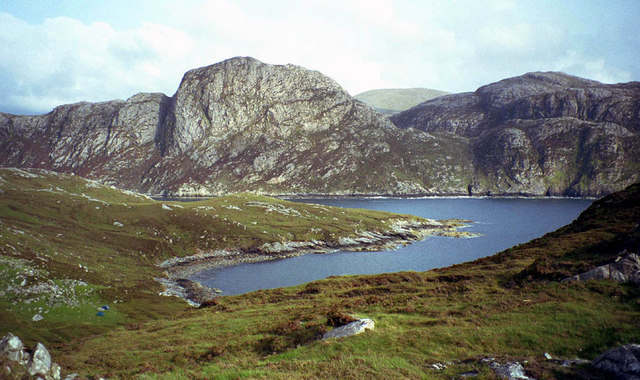
![Meall nan Sidhean [Meall nan Sithean] Last of four HuMPs around the north of Loch Resort on an Alan Holmes RIB trip. What a brilliant day. The summit is one of 3 tops in a line with the middle rocky top being lower than the tops on either side.
Name: Meall nan Sidhean [Meall nan Sithean]
Hill number: 4948
Height: 177m / 581ft
Area: 24A: Lewis and Nearby Islands
Class: Hu,1
Grid ref: NB024175 (est)
Drop: 122m
Col: 55m NB039176](https://s3.geograph.org.uk/geophotos/03/68/33/3683303_09647516.jpg)
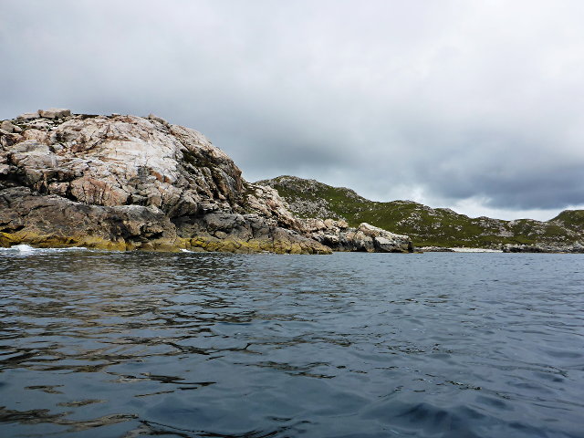
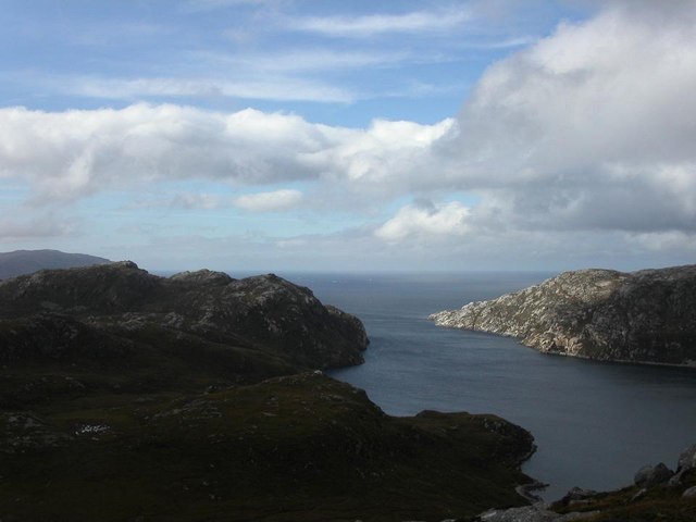
Rubha a' Chruidh is a prominent headland located in Ross-shire, Scotland. Situated on the northwest coast of Scotland, it is a significant coastal feature that stretches out into the North Atlantic Ocean. Offering stunning views and dramatic scenery, Rubha a' Chruidh is renowned for its rugged cliffs and rocky shoreline.
The headland is characterized by its steep slopes and jagged cliffs that rise to a height of approximately 50 meters above sea level. These cliffs are composed of ancient rock formations, providing a glimpse into the region's geological history. The exposed rocks display layers of sedimentary deposits, showcasing the area's diverse geological past.
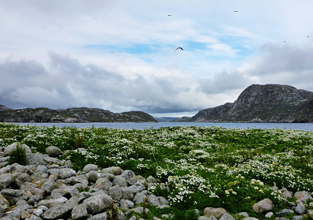
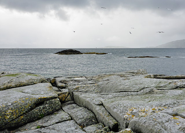
The coastal area surrounding Rubha a' Chruidh is abundant with marine life, making it a popular spot for birdwatching and wildlife enthusiasts. Seabirds such as gannets, kittiwakes, and puffins can often be seen nesting on the cliffs, while seals and dolphins are occasionally spotted swimming in the nearby waters.
Access to Rubha a' Chruidh is relatively easy, with a well-maintained footpath leading visitors along the headland. The path offers breathtaking views of the surrounding coastline and the open ocean, making it a favorite spot for hikers and nature lovers. There are also picnic areas and benches along the route, providing visitors with an opportunity to relax and soak in the natural beauty of the area.
Overall, Rubha a' Chruidh is a stunning coastal feature that showcases the raw beauty of Scotland's northwest coast. With its dramatic cliffs, diverse wildlife, and breathtaking views, it is a must-visit destination for those seeking a true Scottish coastal experience.
If you have any feedback on the listing, please let us know in the comments section below.
Rubha a' Chruidh Images
Images are sourced within 2km of 58.043477/-7.0638255 or Grid Reference NB0117. Thanks to Geograph Open Source API. All images are credited.


Rubha a' Chruidh is located at Grid Ref: NB0117 (Lat: 58.043477, Lng: -7.0638255)
Unitary Authority: Na h-Eileanan an Iar
Police Authority: Highlands and Islands
What 3 Words
///songbirds.reboot.ramming. Near Tarbert, Na h-Eileanan Siar
Related Wikis

Scarp, Scotland
Scarp (Scottish Gaelic: An Sgarp) is an uninhabited island in the Outer Hebrides of Scotland, west of Hushinish on Harris. Once inhabited, the island was...

Hushinish
Huisinish or Hushinish (Scottish Gaelic Hùisinis) is a remote place on the west coast of Harris in the Outer Hebrides of Scotland. It lies at the end of...

Eilean Mhealasta
Eilean Mhealasta (Mealista Island) is an uninhabited island off the west coast of Lewis in the Outer Hebrides of Scotland. It takes its name from Mealista...

Tiorga Mor
Tiorga Mor (679 m) is a mountain in Harris, in the Outer Hebrides of Scotland. The most westerly peak of the high mountains of Harris, it is a very rugged...
Nearby Amenities
Located within 500m of 58.043477,-7.0638255Have you been to Rubha a' Chruidh?
Leave your review of Rubha a' Chruidh below (or comments, questions and feedback).