Little Popplestones
Coastal Marsh, Saltings in Cornwall
England
Little Popplestones

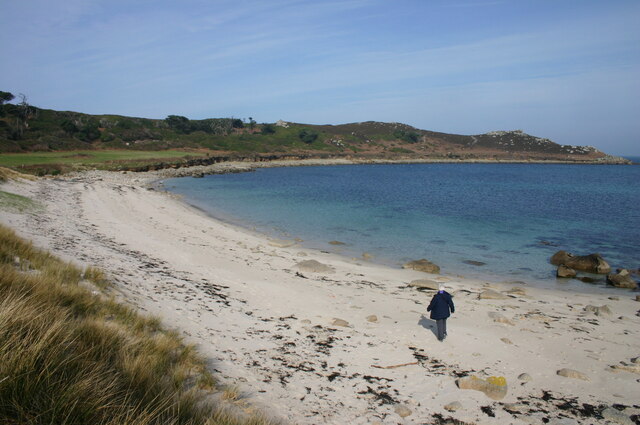
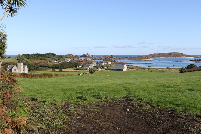
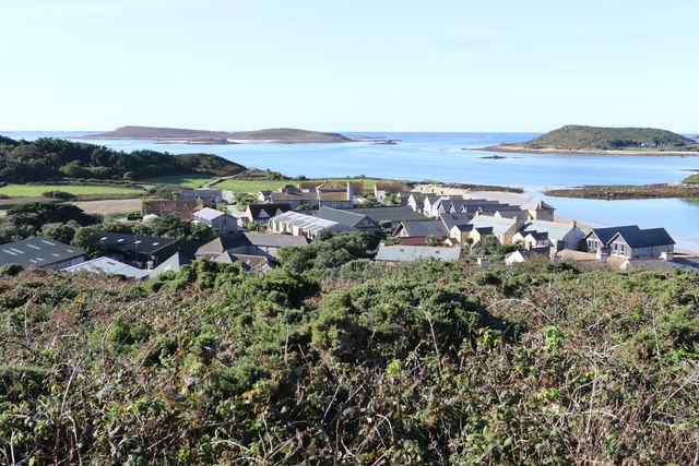
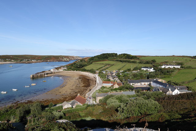
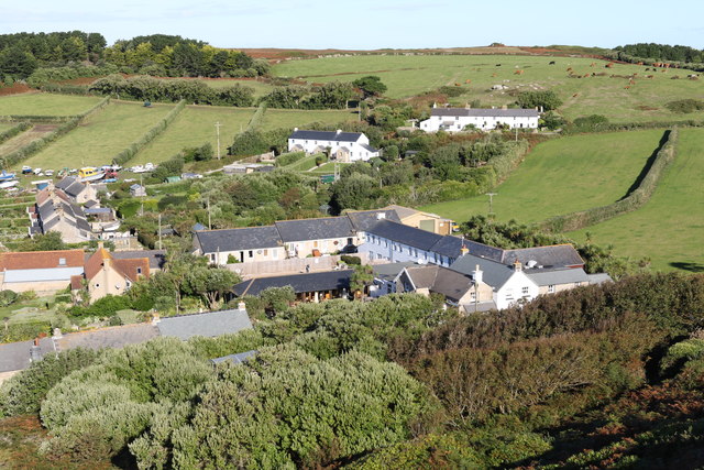
Little Popplestones is a coastal marsh and saltings located in Cornwall, England. Situated on the southern coast, it is nestled between the towns of Fowey and Polperro. The area is known for its breathtaking natural beauty and diverse wildlife.
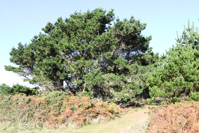
As a marshland, Little Popplestones features a unique ecosystem that is influenced by both the sea and the nearby River Fowey. The area is characterized by its marshy terrain, with soft muddy ground and a variety of plants that thrive in wet conditions. The marsh is often submerged during high tide, creating a dynamic environment that supports a range of flora and fauna.
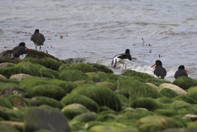
The saltings, or salt marshes, in Little Popplestones are particularly notable. These areas are home to a variety of salt-tolerant plants, such as samphire and sea lavender, which add vibrant colors to the landscape. The saltings also attract numerous bird species, including wading birds, gulls, and terns, making it a popular spot for birdwatching enthusiasts.
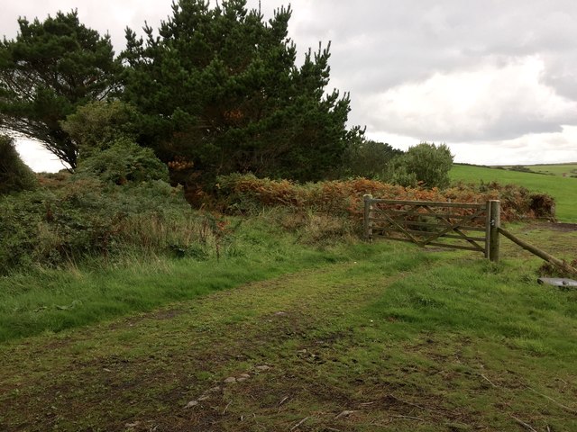
Visitors to Little Popplestones can enjoy exploring the marshland on foot, following designated paths that wind through the area. The marsh provides a tranquil setting for nature lovers, with its peaceful atmosphere and scenic views. It is also a haven for photographers, who can capture stunning images of the marshes against the backdrop of the sea.
Overall, Little Popplestones in Cornwall offers a unique coastal marsh and saltings experience, showcasing the beauty and biodiversity of this captivating region.
If you have any feedback on the listing, please let us know in the comments section below.
Little Popplestones Images
Images are sourced within 2km of 49.95478/-6.3599354 or Grid Reference SV8715. Thanks to Geograph Open Source API. All images are credited.


Little Popplestones is located at Grid Ref: SV8715 (Lat: 49.95478, Lng: -6.3599354)
Division: Isles of Scilly
Unitary Authority: Isles of Scilly
Police Authority: Devon and Cornwall
What 3 Words
///spouse.acrobatic.live. Near Bryher, Isles of Scilly
Nearby Locations
Related Wikis

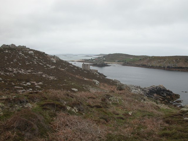
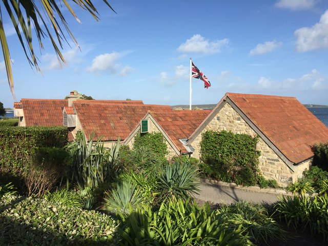
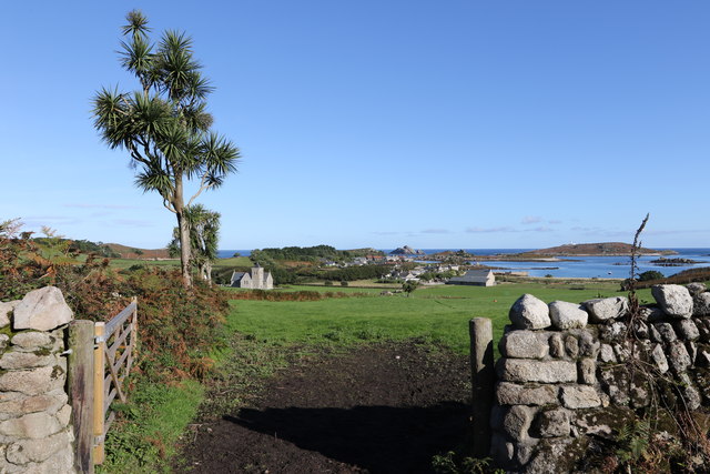
Bryher
Bryher (Cornish: Breyer, lit. 'place of hills') is one of the smallest inhabited islands of the Isles of Scilly, with a population of 84 in 2011, spread...

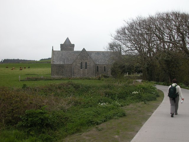
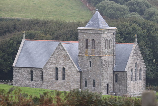
All Saints' Church, Bryher
All Saints' Church is a Grade II listed parish church in the Church of England located in Bryher, Isles of Scilly. == History == Bryher is the most westerly...

Gweal, Isles of Scilly
Gweal ( GWEEL; Cornish: Gwydhyel, lit. 'place of trees') is one of the Isles of Scilly. It is the largest of the seven Norrard Rocks due west of Bryher...
Norrard Rocks
The Norrard (Northern) Rocks are a group of small uninhabited granite rocks in the north–western part of the Isles of Scilly, to the west of Bryher and...
Nearby Amenities
Located within 500m of 49.95478,-6.3599354Have you been to Little Popplestones?
Leave your review of Little Popplestones below (or comments, questions and feedback).