Anchor Drang
Coastal Feature, Headland, Point in Cornwall
England
Anchor Drang

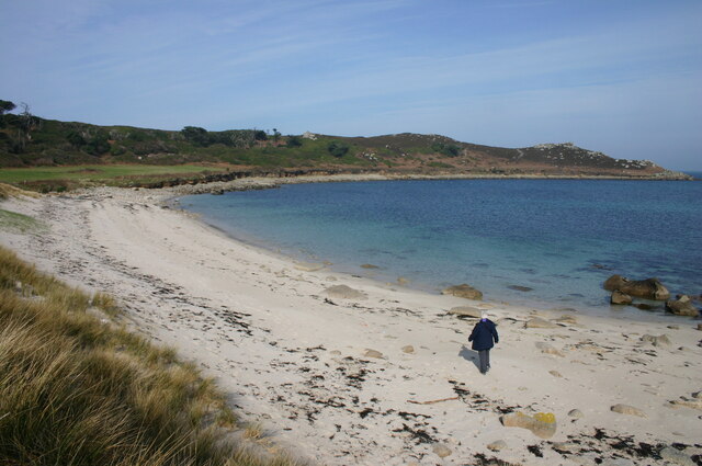
Anchor Drang is a prominent headland located on the northern coast of Cornwall, England. It is situated near the village of Tintagel and is a notable coastal feature in the region. The headland is known for its rugged cliffs, which rise dramatically from the Atlantic Ocean, offering breathtaking views of the surrounding landscape.
The name "Anchor Drang" is derived from the Cornish language and refers to the rocky nature of the area. The headland is characterized by its towering cliffs, which reach heights of up to 100 meters (330 feet) above sea level. These cliffs are made up of slate and shale, creating a striking contrast against the deep blue waters below.
Anchor Drang is a popular destination for nature enthusiasts and hikers due to its stunning natural beauty and picturesque scenery. The headland offers several walking trails that allow visitors to explore the rugged cliffs and take in panoramic views of the coastline. Additionally, the area is home to a diverse range of wildlife, including various seabird species such as puffins, razorbills, and guillemots.
In addition to its natural attractions, Anchor Drang also holds historical significance. The headland is said to be associated with the legend of King Arthur, with Tintagel Castle, situated nearby, believed to be his birthplace. The ruins of the castle can still be seen atop the cliffs, adding to the charm and intrigue of the area.
Overall, Anchor Drang is a captivating headland that combines natural beauty, historical significance, and breathtaking views, making it a must-visit destination for anyone exploring the stunning coastline of Cornwall.
If you have any feedback on the listing, please let us know in the comments section below.
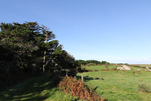
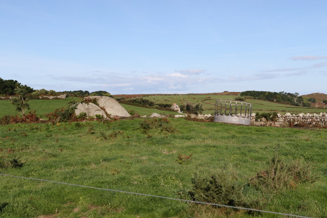
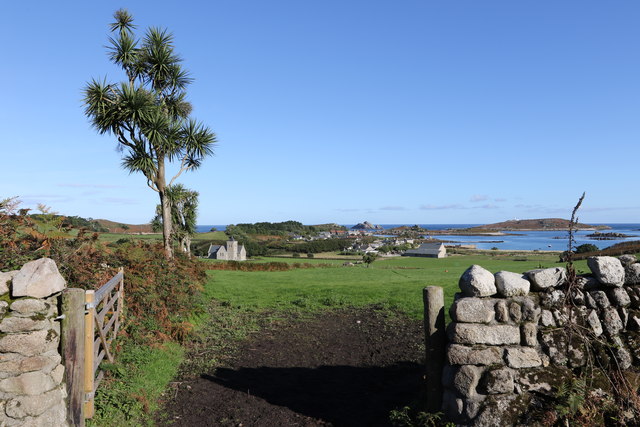
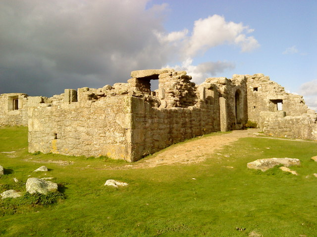
Anchor Drang Images
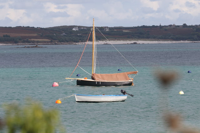
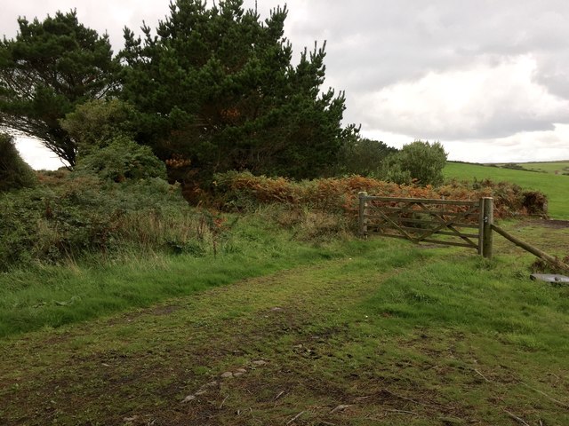
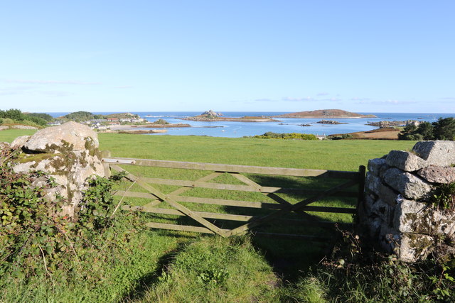
Images are sourced within 2km of 49.960302/-6.3571571 or Grid Reference SV8715. Thanks to Geograph Open Source API. All images are credited.


Anchor Drang is located at Grid Ref: SV8715 (Lat: 49.960302, Lng: -6.3571571)
Division: Isles of Scilly
Unitary Authority: Isles of Scilly
Police Authority: Devon and Cornwall
What 3 Words
///firmer.slid.succumbs. Near Bryher, Isles of Scilly
Nearby Locations
Related Wikis

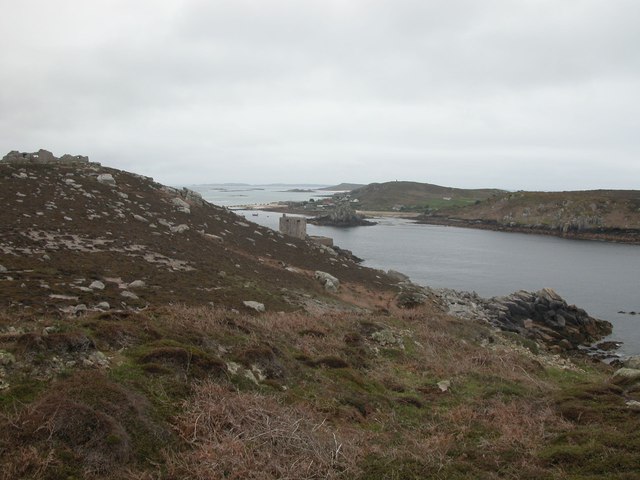
Cromwell's Castle
Cromwell's Castle is an artillery fort overlooking New Grimsby harbour on the island of Tresco in the Isles of Scilly. It comprises a tall, circular gun...
King Charles's Castle
King Charles's Castle is a ruined artillery fort overlooking New Grimsby harbour on the island of Tresco in the Isles of Scilly. Built between 1548 and...

Bryher
Bryher (Cornish: Breyer, lit. 'place of hills') is one of the smallest inhabited islands of the Isles of Scilly, with a population of 84 in 2011, spread...

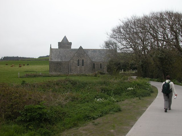
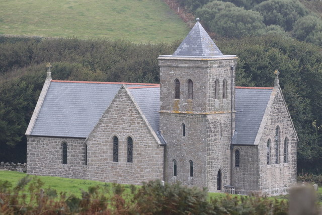
All Saints' Church, Bryher
All Saints' Church is a Grade II listed parish church in the Church of England located in Bryher, Isles of Scilly. == History == Bryher is the most westerly...

Castle Down
Castle Down is a windswept plateau of maritime heath in the northern part of the island of Tresco, Isles of Scilly. The area has a number of designations...

Gweal, Isles of Scilly
Gweal ( GWEEL; Cornish: Gwydhyel, lit. 'place of trees') is one of the Isles of Scilly. It is the largest of the seven Norrard Rocks due west of Bryher...
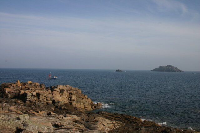
Norrard Rocks
The Norrard (Northern) Rocks are a group of small uninhabited granite rocks in the north–western part of the Isles of Scilly, to the west of Bryher and...

Piper's Hole
Piper's Hole is a sea cave located on Tresco, an island of the Isles of Scilly. The name Piper's Hole can also refer to another, more minor, sea cave in...
Nearby Amenities
Located within 500m of 49.960302,-6.3571571Have you been to Anchor Drang?
Leave your review of Anchor Drang below (or comments, questions and feedback).