Bight Carn

Coastal Feature, Headland, Point in Cornwall

England

Bight Carn

Plum Island Tresco View Across New Grimsby Harbour to Plum island  with the island of Bryher in the background and King Henry's Castle on the extreme right.
Plum Island Tresco Credit: Nigel Mykura

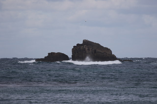
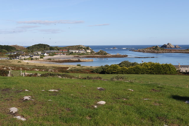
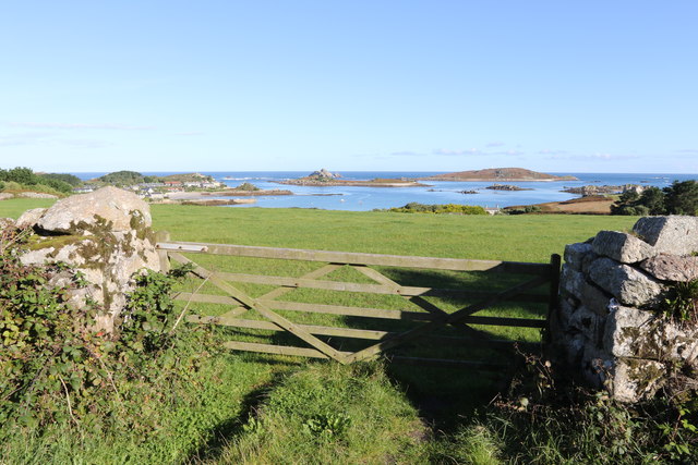
Bight Carn is a prominent headland located on the southwestern coast of Cornwall, England. Situated near the village of St. Buryan, it juts out into the Celtic Sea, offering breathtaking views of the surrounding coastline.

This coastal feature is characterized by its rugged cliffs, which reach heights of up to 80 meters (262 feet) above sea level. The cliffs are composed of granite, a common geological feature in this region. The rock formations show signs of erosion, with natural arches and caves being formed over time by the relentless pounding of the waves.

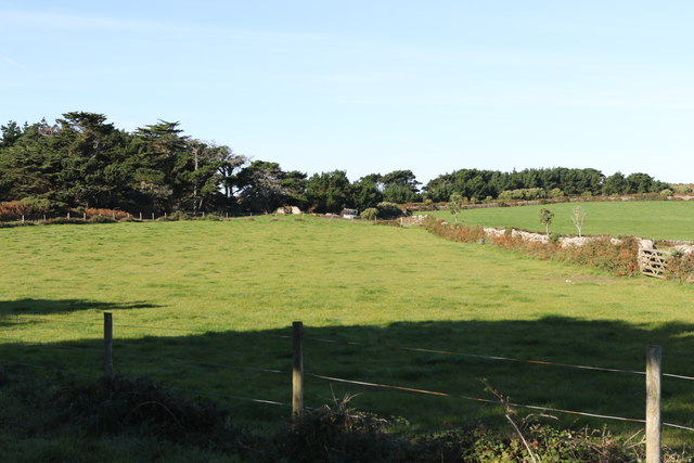
Bight Carn is a popular spot for outdoor enthusiasts and nature lovers. The headland is accessible by foot, with several coastal walking paths leading to its summit. Visitors can enjoy panoramic views of the sea, with glimpses of passing ships and the occasional sighting of marine wildlife such as dolphins and seals.

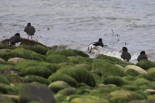
The area surrounding Bight Carn is rich in biodiversity, with a variety of plant and animal species inhabiting the cliffs and surrounding countryside. It is also home to a diverse range of seabirds, including gulls, fulmars, and the majestic peregrine falcon.

The headland is a designated Area of Outstanding Natural Beauty, offering visitors a chance to appreciate the unspoiled coastal landscape. Bight Carn is a place of tranquility and natural beauty, providing an opportunity to immerse oneself in the stunning scenery of Cornwall's rugged coastline.

If you have any feedback on the listing, please let us know in the comments section below.
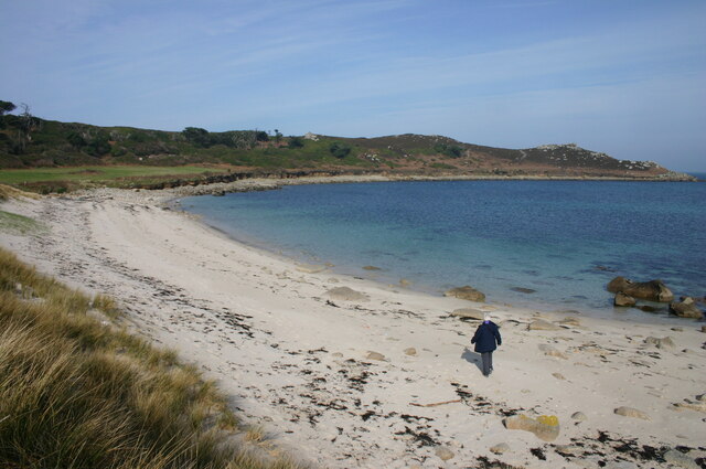
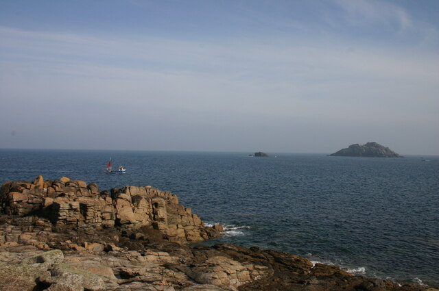
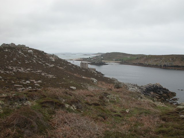
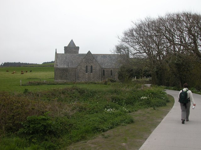
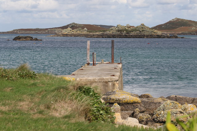
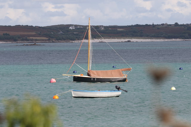
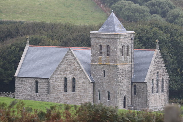
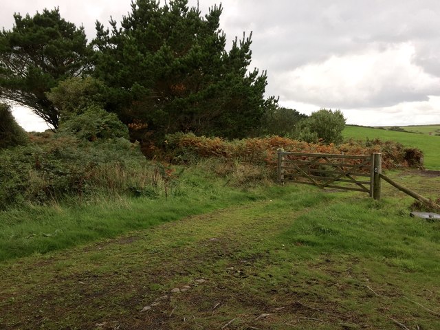
Bight Carn Images

Images are sourced within 2km of 49.961193/-6.3561915 or Grid Reference SV8715. Thanks to Geograph Open Source API. All images are credited.

Plum Island Tresco View Across New Grimsby Harbour to Plum island  with the island of Bryher in the background and King Henry's Castle on the extreme right.
Plum Island Tresco
View Across New Grimsby Harbour to Plum island with the island of Bryher in the background and King Henry's Castle on the extreme right.
Gimble Porth This is just one of Tresco's many wonderful beaches.
Gimble Porth
This is just one of Tresco's many wonderful beaches.
A boat off the north of Tresco Taken in 2005 but only just being submitted, so I hope I have the view direction correct. Tresco is a wonderful peaceful island at any time of the year, but especially in Spring.
A boat off the north of Tresco
Taken in 2005 but only just being submitted, so I hope I have the view direction correct. Tresco is a wonderful peaceful island at any time of the year, but especially in Spring.
A misty day on Bryher Not such a good day, weather wise as the mist was down over the island most of the day. This dull view is looking towards Hell Bay Hotel.
A misty day on Bryher
Not such a good day, weather wise as the mist was down over the island most of the day. This dull view is looking towards Hell Bay Hotel.
Shore , North Tresco Taken during a walk around northern part of Tresco
Shore , North Tresco
Taken during a walk around northern part of Tresco
Church , Tresco Taken during walk round north of Island
Church , Tresco
Taken during walk round north of Island
Clearing the bracken Near the Blockhouse, Tresco
Clearing the bracken
Near the Blockhouse, Tresco
The Ruin Inn A cafe and restaurant in Old Grimsby, Tresco
The Ruin Inn
A cafe and restaurant in Old Grimsby, Tresco
Oystercatchers in Gimble Porth On Tresco
Oystercatchers in Gimble Porth
On Tresco
Golden Ball From Tresco
Golden Ball
From Tresco
Old Grimsby Quay Looking towards Foreman's Island
Old Grimsby Quay
Looking towards Foreman's Island
Moored up in Green Porth In Old Grimsby Harbour
Moored up in Green Porth
In Old Grimsby Harbour
Rainbow between Tresco and Bryher Looking north towards Plumb Island
Rainbow between Tresco and Bryher
Looking north towards Plumb Island
St Nicholas' Church, Tresco From the south
St Nicholas' Church, Tresco
From the south
Gate to the fields On the hill above Old Grimsby
Gate to the fields
On the hill above Old Grimsby
Field above Old Grimsby harbour Looking towards the Sea Garden Cottages development.
Field above Old Grimsby harbour
Looking towards the Sea Garden Cottages development.
Fields above Old Grimsby harbour Part of Borough Farm
Fields above Old Grimsby harbour
Part of Borough Farm
Towards Old Grimsby Harbour Looking at the islands between Tresco and St Martins.
Towards Old Grimsby Harbour
Looking at the islands between Tresco and St Martins.
Show me another place!

Bight Carn is located at Grid Ref: SV8715 (Lat: 49.961193, Lng: -6.3561915)

Division: Isles of Scilly

Unitary Authority: Isles of Scilly

Police Authority: Devon and Cornwall

What 3 Words

///hidden.motive.splendid. Near Bryher, Isles of Scilly

Related Wikis

Cromwell's Castle

Cromwell's Castle is an artillery fort overlooking New Grimsby harbour on the island of Tresco in the Isles of Scilly. It comprises a tall, circular gun...

King Charles's Castle

King Charles's Castle is a ruined artillery fort overlooking New Grimsby harbour on the island of Tresco in the Isles of Scilly. Built between 1548 and...

Bryher

Bryher (Cornish: Breyer, lit. 'place of hills') is one of the smallest inhabited islands of the Isles of Scilly, with a population of 84 in 2011, spread...

Castle Down

Castle Down is a windswept plateau of maritime heath in the northern part of the island of Tresco, Isles of Scilly. The area has a number of designations...

Nearby Amenities

Located within 500m of 49.961193,-6.3561915
Hell Bay
Natural: bay
Lat/Long: 49.9610555/-6.3584981
Cromwell's Castle
Historic: castle
Wikidata: Q5187650
Wikipedia: en:Cromwell's Castle
Lat/Long: 49.9622399/-6.3495157
Source: PGS
Lat/Long: 49.9580911/-6.3514907
Ele: 39
Natural: peak
Lat/Long: 49.9616562/-6.3545788
Badplace Hill
Natural: peak
Lat/Long: 49.9636301/-6.3589493
The Gulf
Natural: strait
Lat/Long: 49.9641994/-6.3598725
Anchor Carn
Place: locality
Lat/Long: 49.9606074/-6.3548297
Pollock Rock
Place: locality
Lat/Long: 49.9635703/-6.3509253
Seamark Type: anchorage
Lat/Long: 49.9611321/-6.3501406
The data included in this document is from www.openstreetmap.org. The data is made available under ODbL.

Have you been to Bight Carn?

Leave your review of Bight Carn below (or comments, questions and feedback).