Lord MacDonald's Table
Coastal Feature, Headland, Point in Inverness-shire
Scotland
Lord MacDonald's Table

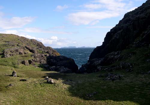
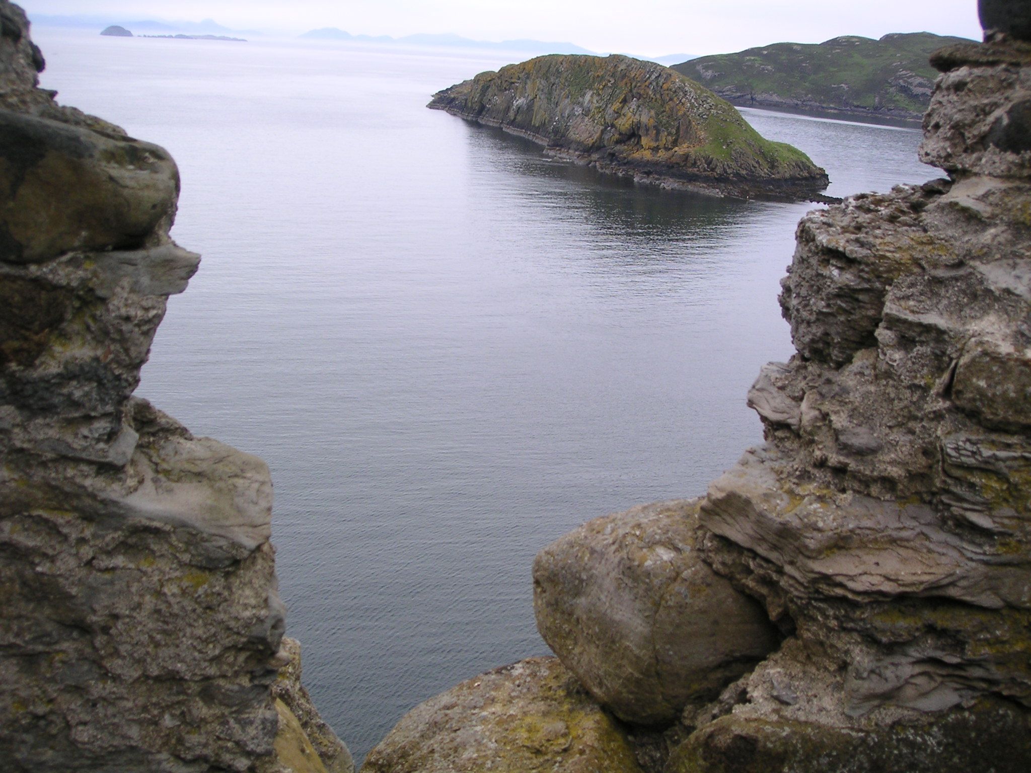
Lord MacDonald's Table is a prominent coastal feature located in Inverness-shire, Scotland. It is classified as a headland, also known as a point, due to its elevated position extending into the sea. The headland is situated on the western coast of Scotland, offering breathtaking views of the surrounding landscape and the vast Atlantic Ocean.
The name "Lord MacDonald's Table" originates from local folklore, which tells the tale of a powerful lord who would sit atop the headland and survey his vast lands. The name has stuck over the years and has become the official designation for this stunning coastal feature.
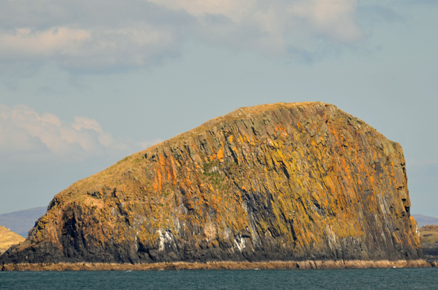
The headland itself is characterized by its rugged cliffs, which rise steeply from the sea below. The cliffs are composed of various rock formations, including sandstone and shale, and are often adorned with vibrant green vegetation, adding to the picturesque scenery.
The area surrounding Lord MacDonald's Table is rich in biodiversity, with numerous species of seabirds nesting along the cliffs. Visitors to the headland can witness these birds in their natural habitat, including species such as puffins, guillemots, and razorbills. The headland is also frequented by birdwatchers and nature enthusiasts, who come to observe the diverse avian population.
In addition to its natural beauty, Lord MacDonald's Table offers visitors the opportunity to engage in outdoor activities such as hiking and photography. A well-maintained footpath allows visitors to explore the headland and enjoy the stunning vistas it offers. The headland is also a popular spot for picnicking, as the grassy areas near the cliff edge provide an ideal setting for a leisurely outdoor meal.
Overall, Lord MacDonald's Table is a captivating coastal feature in Inverness-shire that showcases the raw beauty of Scotland's western coastline. Its dramatic cliffs, diverse wildlife, and breathtaking views make it a must-visit destination for nature lovers and those seeking a tranquil escape by the sea.
If you have any feedback on the listing, please let us know in the comments section below.
Lord MacDonald's Table Images
Images are sourced within 2km of 57.727686/-6.4215564 or Grid Reference NG3679. Thanks to Geograph Open Source API. All images are credited.


Lord MacDonald's Table is located at Grid Ref: NG3679 (Lat: 57.727686, Lng: -6.4215564)
Unitary Authority: Highland
Police Authority: Highlands and Islands
Also known as: Am Bord
What 3 Words
///listed.trailer.broadcast. Near Uig, Highland
Nearby Locations
Related Wikis

Eilean Trodday
Eilean Trodday is an island in The Minch just off the north coast of the Trotternish peninsula of Skye in Scotland. Eilean Trodday is about 38 hectares...
Duntulm
Duntulm (Scottish Gaelic: Dùn Thuilm) is a township on the most northerly point of the Trotternish peninsula of the Isle of Skye made up of Shulista (north...

Kilmaluag
Kilmaluag (Scottish Gaelic: Cill Moluaig, meaning St. Moluag's Cell, Church or Chapel) is a township made up of several small settlements on the most northerly...

Skye Museum of Island Life
The Skye Museum of Island Life is a museum in Kilmuir, Skye, Scotland, which is dedicated to preserving a township of thatched cottages as they would have...
Have you been to Lord MacDonald's Table?
Leave your review of Lord MacDonald's Table below (or comments, questions and feedback).