Jordan's Leap

Coastal Feature, Headland, Point in Yorkshire

England

Jordan's Leap

Headland Way at Speeton The path descends steeply across the fields to reach the cliff top. Filey Brigg <a href="https://www.geograph.org.uk/gridref/TA1381">TA1381</a> on the horizon.
Headland Way at Speeton Credit: Oliver Dixon

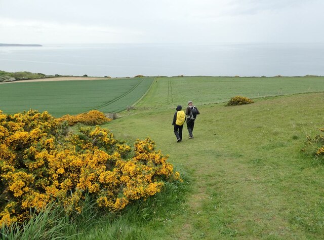
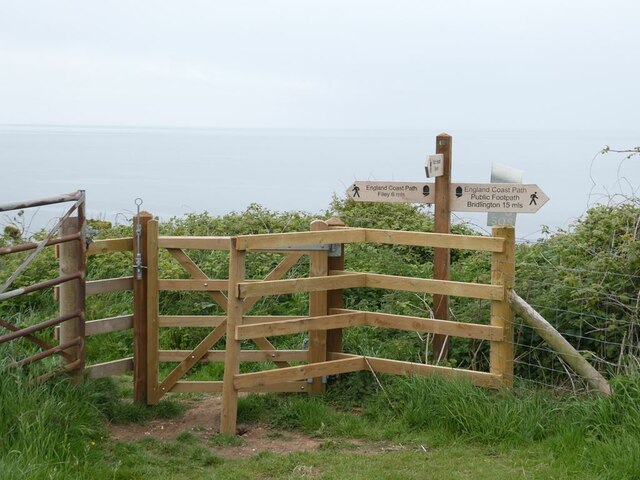
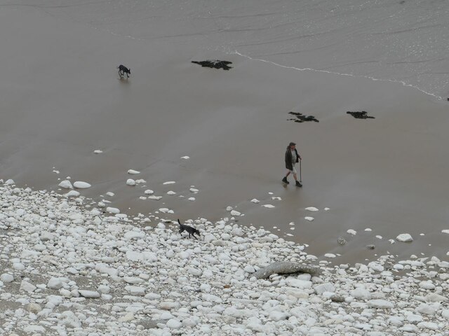
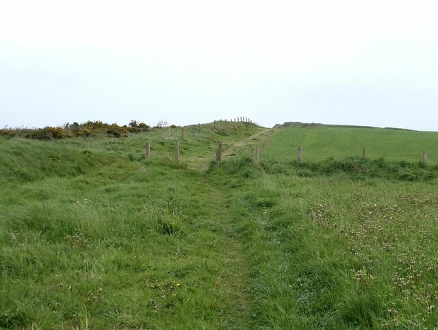
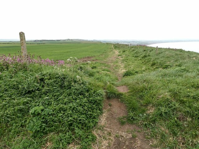
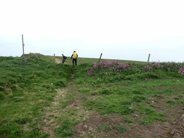
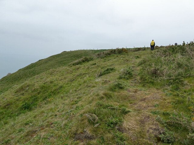
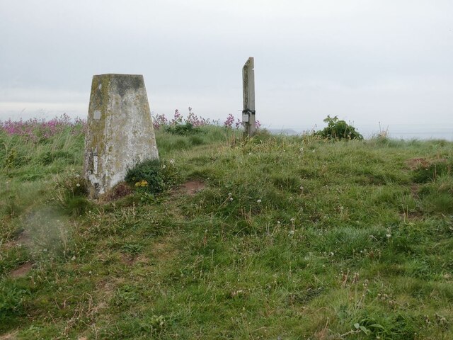
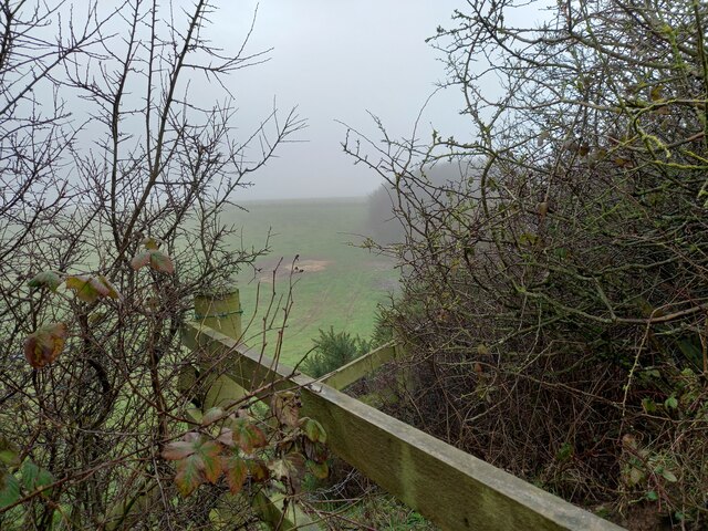
Jordan's Leap is a prominent coastal feature located in Yorkshire, England. Situated on the coastline, it is characterized as a headland or point that extends out into the North Sea. This natural landmark is often visited by locals and tourists alike due to its unique geological formations and breathtaking views.

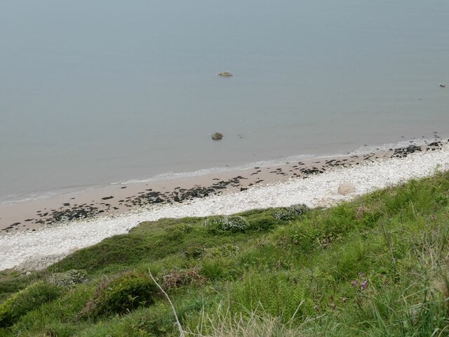
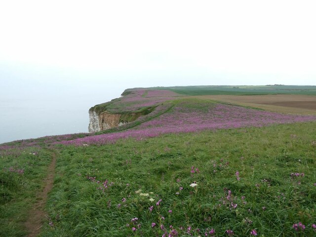
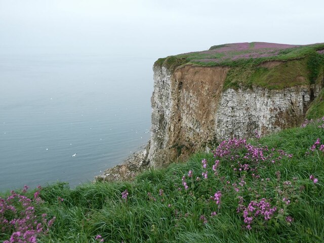
The headland is made up of rugged cliffs that rise dramatically from the shoreline, reaching heights of up to 50 meters. These cliffs are composed mainly of limestone and shale, giving them a distinct appearance and providing a habitat for various coastal plants and wildlife.

One of the distinguishing features of Jordan's Leap is a natural arch that has formed over thousands of years due to erosion caused by the crashing waves of the North Sea. This arch has become an iconic symbol of the headland and is a popular spot for photographers. Visitors can witness the power of nature as the waves crash against the cliffs, creating a mesmerizing display of spray and mist.

In addition to its natural beauty, Jordan's Leap also holds historical significance. It is believed to have been named after a local legend about a fisherman named Jordan, who made a daring leap from the cliffs to rescue a fellow sailor during a storm. The name has stuck ever since, adding to the allure and intrigue of this coastal feature.

Overall, Jordan's Leap offers a captivating blend of natural beauty, geological wonders, and historical significance. Whether it is for a peaceful walk along the cliffs, to witness the arch in all its glory, or to learn about the local folklore, this Yorkshire headland is a must-visit destination for nature enthusiasts and history buffs alike.

If you have any feedback on the listing, please let us know in the comments section below.

Jordan's Leap Images

Images are sourced within 2km of 54.156536/-0.20723212 or Grid Reference TA1774. Thanks to Geograph Open Source API. All images are credited.

Headland Way at Speeton The path descends steeply across the fields to reach the cliff top. Filey Brigg <a href="https://www.geograph.org.uk/gridref/TA1381">TA1381</a> on the horizon.
Headland Way at Speeton
The path descends steeply across the fields to reach the cliff top. Filey Brigg TA1381 on the horizon.
England Coast Path at Speeton Cliffs A new kissing gate and signpost have been recently installed at this point where the path from Speeton village joins the clifftop. To the right, the pre-existing public footpath has been signed as the England Coast Path. To the left, it is clear that a new right of way has been recently established, as previously there was only an unofficial path through to Reighton Sands.
England Coast Path at Speeton Cliffs
A new kissing gate and signpost have been recently installed at this point where the path from Speeton village joins the clifftop. To the right, the pre-existing public footpath has been signed as the England Coast Path. To the left, it is clear that a new right of way has been recently established, as previously there was only an unofficial path through to Reighton Sands.
Foot of Speeton Cliffs Where the sandy beach runs out to be replaced by chalk rubble.
Foot of Speeton Cliffs
Where the sandy beach runs out to be replaced by chalk rubble.
Dogwalker at the foot of Speeton Cliffs Where the sandy beach runs out to be replaced with chalk rubble.
Dogwalker at the foot of Speeton Cliffs
Where the sandy beach runs out to be replaced with chalk rubble.
England Coast Path above Speeton Cliffs
Buckton Hall Farm Seen from the Coast Path.
Buckton Hall Farm
Seen from the Coast Path.
Clifftop path above Speeton Cliffs The official England Coast Path diverts a short way inland at this point.
Clifftop path above Speeton Cliffs
The official England Coast Path diverts a short way inland at this point.
Trig pillar on Buckton Cliffs Beside the England Coast Path.
Trig pillar on Buckton Cliffs
Beside the England Coast Path.
England Coast Path at Buckton Cliffs Ablaze with Pink Campion.
England Coast Path at Buckton Cliffs
Ablaze with Pink Campion.
Buckton Cliffs
Buckton Cliffs
England Coast Path at Buckton Cliffs The clifftop ablaze with Pink Campion.
England Coast Path at Buckton Cliffs
The clifftop ablaze with Pink Campion.
Signpost on the England Coast Path At Buckton Cliffs
Signpost on the England Coast Path
At Buckton Cliffs
Watching you watching them Bird watchers at the Jubilee Corner viewing point at RSPB Bempton.
Watching you watching them
Bird watchers at the Jubilee Corner viewing point at RSPB Bempton.
Watching you watching them Bird watchers at the Jubilee Corner viewing point at RSPB Bempton.
Watching you watching them
Bird watchers at the Jubilee Corner viewing point at RSPB Bempton.
Bempton Cliffs Gannet colony at the RSPB Reserve.
Bempton Cliffs
Gannet colony at the RSPB Reserve.
Bempton, Hoddy Cows Lane According to the OS benchmark database the derelict building base alongside the trees in the distance has a cutmark. New fencing with new barbed wire prevented any access to the field, and no search was made.
Bempton, Hoddy Cows Lane
According to the OS benchmark database the derelict building base alongside the trees in the distance has a cutmark. New fencing with new barbed wire prevented any access to the field, and no search was made.
Show me another place!

Jordan's Leap is located at Grid Ref: TA1774 (Lat: 54.156536, Lng: -0.20723212)

Division: East Riding

Unitary Authority: East Riding of Yorkshire

Police Authority: Humberside

What 3 Words

///troll.stencil.piglets. Near Bempton, East Yorkshire

Related Wikis

Speeton

Speeton is a village in the civil parish of Reighton, in North Yorkshire, England. It lies near the edge of the coastal cliffs midway between Filey and...

RAF Bempton

Royal Air Force Bempton or more simply RAF Bempton is a former Royal Air Force station situated at Bempton in the East Riding of Yorkshire, England, 6...

Yorkshire Coast

The Yorkshire Coast runs from the Tees estuary to the Humber estuary, on the east coast of England. The cliffs at Boulby are the highest on the east coast...

Speeton railway station

Speeton railway station served the villages of Speeton and Reighton in North Yorkshire, England. It was situated on the Yorkshire Coast Line from Scarborough...

Nearby Amenities

Located within 500m of 54.156536,-0.20723212
Source: PGS
Lat/Long: 54.1576849/-0.2144912
Man Made: survey_point
Source: survey
Lat/Long: 54.1561726/-0.2081831
The data included in this document is from www.openstreetmap.org. The data is made available under ODbL.

Have you been to Jordan's Leap?

Leave your review of Jordan's Leap below (or comments, questions and feedback).