Red Cliff Hole

Coastal Feature, Headland, Point in Yorkshire Scarborough

England

Red Cliff Hole

End of the beach The beach at Speeton Sands runs out at the foot of the chalk cliffs in <a href="https://www.geograph.org.uk/gridref/TA1675">TA1675</a>.
End of the beach Credit: Oliver Dixon

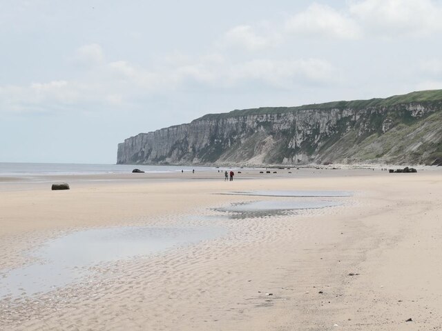
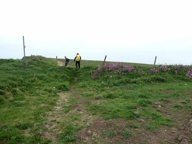
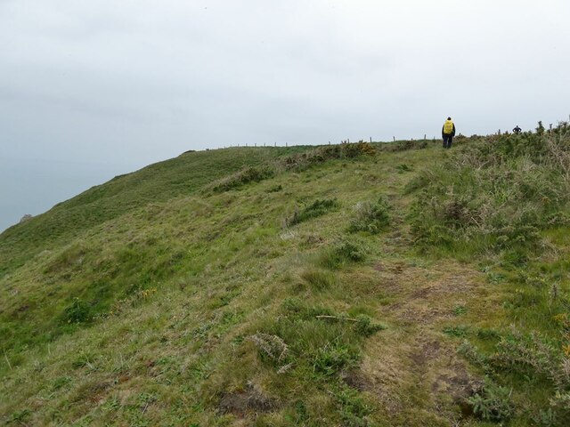
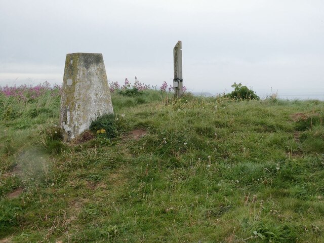
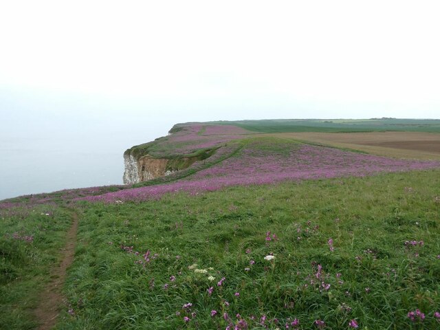
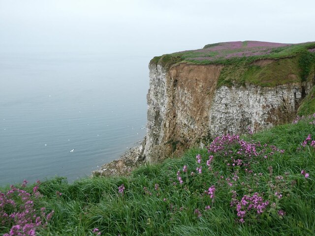
Red Cliff Hole is a prominent coastal feature located in Yorkshire, England. Situated on the eastern coast, it is known for its striking headland and point that juts out into the North Sea. The name "Red Cliff Hole" is derived from the distinctive red cliffs that can be found in the area.

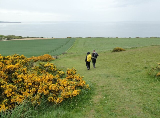
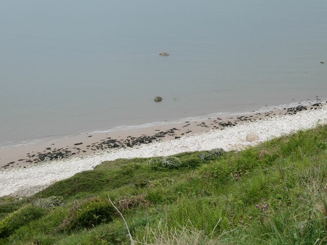
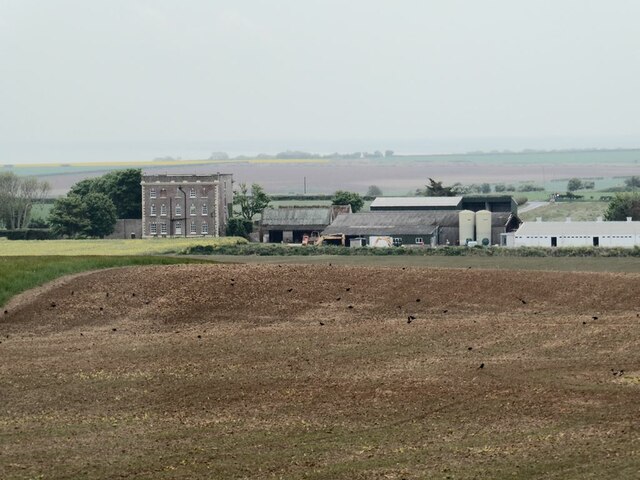
This coastal feature is a popular destination for both locals and tourists due to its scenic beauty and geological significance. The red cliffs, composed of sandstone and clay, offer a stunning contrast against the blue waters of the North Sea. The cliffs have been formed through millions of years of erosion, resulting in their current rugged and steep appearance.

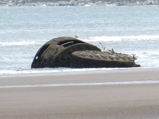
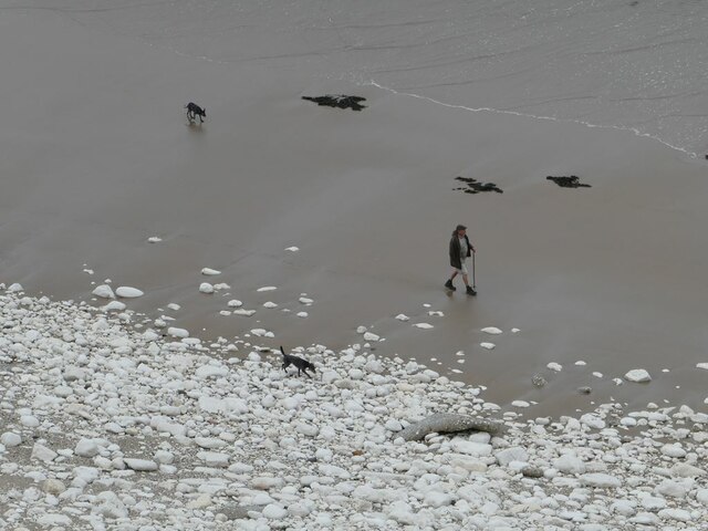
Red Cliff Hole is also notable for its diverse wildlife and plant species. The surrounding area provides a unique habitat for various seabirds, including gulls, puffins, and razorbills. Visitors often enjoy birdwatching and spotting these magnificent creatures nesting and gliding along the cliffs. The nearby coastal vegetation is home to an array of wildflowers, adding to the charm of the landscape.

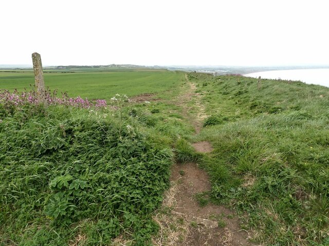
In addition to its natural beauty, Red Cliff Hole holds historical significance. It is believed to have served as a lookout point during various periods, including World War II, due to its commanding view of the coastline. The headland also features remnants of ancient fortifications, providing a glimpse into the region's past.

Overall, Red Cliff Hole in Yorkshire is a captivating coastal feature that offers breathtaking views, rich biodiversity, and a touch of history. It continues to captivate visitors with its awe-inspiring beauty and serves as a testament to the dynamic forces of nature.

If you have any feedback on the listing, please let us know in the comments section below.

Red Cliff Hole Images

Images are sourced within 2km of 54.157666/-0.21674011 or Grid Reference TA1675. Thanks to Geograph Open Source API. All images are credited.

End of the beach The beach at Speeton Sands runs out at the foot of the chalk cliffs in <a href="https://www.geograph.org.uk/gridref/TA1675">TA1675</a>.
End of the beach
The beach at Speeton Sands runs out at the foot of the chalk cliffs in TA1675.
Wreck of the "Laura" The Laura was an Austrian-owned ship carrying a cargo of coke from Newcastle to Trieste which went aground in November 1897. It proved impossible to refloat her, and her cargo was offloaded, and much of the vessel was cut up for scrap with just the boiler remaining visible at low tide.
Wreck of the "Laura"
The Laura was an Austrian-owned ship carrying a cargo of coke from Newcastle to Trieste which went aground in November 1897. It proved impossible to refloat her, and her cargo was offloaded, and much of the vessel was cut up for scrap with just the boiler remaining visible at low tide.
Headland Way at Speeton The path descends steeply across the fields to reach the cliff top. Filey Brigg <a href="https://www.geograph.org.uk/gridref/TA1381">TA1381</a> on the horizon.
Headland Way at Speeton
The path descends steeply across the fields to reach the cliff top. Filey Brigg TA1381 on the horizon.
England Coast Path at Speeton Cliffs A new kissing gate and signpost have been recently installed at this point where the path from Speeton village joins the clifftop. To the right, the pre-existing public footpath has been signed as the England Coast Path. To the left, it is clear that a new right of way has been recently established, as previously there was only an unofficial path through to Reighton Sands.
England Coast Path at Speeton Cliffs
A new kissing gate and signpost have been recently installed at this point where the path from Speeton village joins the clifftop. To the right, the pre-existing public footpath has been signed as the England Coast Path. To the left, it is clear that a new right of way has been recently established, as previously there was only an unofficial path through to Reighton Sands.
Foot of Speeton Cliffs Where the sandy beach runs out to be replaced by chalk rubble.
Foot of Speeton Cliffs
Where the sandy beach runs out to be replaced by chalk rubble.
Dogwalker at the foot of Speeton Cliffs Where the sandy beach runs out to be replaced with chalk rubble.
Dogwalker at the foot of Speeton Cliffs
Where the sandy beach runs out to be replaced with chalk rubble.
England Coast Path above Speeton Cliffs
Buckton Hall Farm Seen from the Coast Path.
Buckton Hall Farm
Seen from the Coast Path.
Clifftop path above Speeton Cliffs The official England Coast Path diverts a short way inland at this point.
Clifftop path above Speeton Cliffs
The official England Coast Path diverts a short way inland at this point.
Trig pillar on Buckton Cliffs Beside the England Coast Path.
Trig pillar on Buckton Cliffs
Beside the England Coast Path.
England Coast Path at Buckton Cliffs Ablaze with Pink Campion.
England Coast Path at Buckton Cliffs
Ablaze with Pink Campion.
Buckton Cliffs
Buckton Cliffs
England Coast Path at Buckton Cliffs The clifftop ablaze with Pink Campion.
England Coast Path at Buckton Cliffs
The clifftop ablaze with Pink Campion.
St Leonard's Church, Speeton The car park is available for walkers when the church is not occupied.
St Leonard's Church, Speeton
The car park is available for walkers when the church is not occupied.
Farmland near Speeton
Bempton, Hoddy Cows Lane According to the OS benchmark database the derelict building base alongside the trees in the distance has a cutmark. New fencing with new barbed wire prevented any access to the field, and no search was made.
Bempton, Hoddy Cows Lane
According to the OS benchmark database the derelict building base alongside the trees in the distance has a cutmark. New fencing with new barbed wire prevented any access to the field, and no search was made.
Show me another place!

Red Cliff Hole is located at Grid Ref: TA1675 (Lat: 54.157666, Lng: -0.21674011)

Division: East Riding

Administrative County: North Yorkshire

District: Scarborough

Police Authority: North Yorkshire

What 3 Words

///sandals.earlobes.guesswork. Near Bempton, East Yorkshire

Related Wikis

Speeton

Speeton is a village in the civil parish of Reighton, in North Yorkshire, England. It lies near the edge of the coastal cliffs midway between Filey and...

Speeton railway station

Speeton railway station served the villages of Speeton and Reighton in North Yorkshire, England. It was situated on the Yorkshire Coast Line from Scarborough...

RAF Bempton

Royal Air Force Bempton or more simply RAF Bempton is a former Royal Air Force station situated at Bempton in the East Riding of Yorkshire, England, 6...

Yorkshire Coast

The Yorkshire Coast runs from the Tees estuary to the Humber estuary, on the east coast of England. The cliffs at Boulby are the highest on the east coast...

Nearby Amenities

Located within 500m of 54.157666,-0.21674011
Source: PGS
Lat/Long: 54.1576849/-0.2144912
Source: PGS
Lat/Long: 54.1576751/-0.2162014
Source: PGS
Lat/Long: 54.1579875/-0.2183556
Source: PGS
Lat/Long: 54.1580973/-0.218906
Source: PGS
Lat/Long: 54.1582987/-0.2195449
Source: PGS
Lat/Long: 54.1584983/-0.2198454
Source: PGS
Lat/Long: 54.158696/-0.2203511
Source: PGS
Lat/Long: 54.1587661/-0.2208537
Source: PGS
Lat/Long: 54.1588046/-0.221528
Source: PGS
Lat/Long: 54.1588881/-0.2220337
Source: PGS
Lat/Long: 54.159104/-0.2227245
Source: PGS
Lat/Long: 54.1592848/-0.2238186
The data included in this document is from www.openstreetmap.org. The data is made available under ODbL.

Have you been to Red Cliff Hole?

Leave your review of Red Cliff Hole below (or comments, questions and feedback).