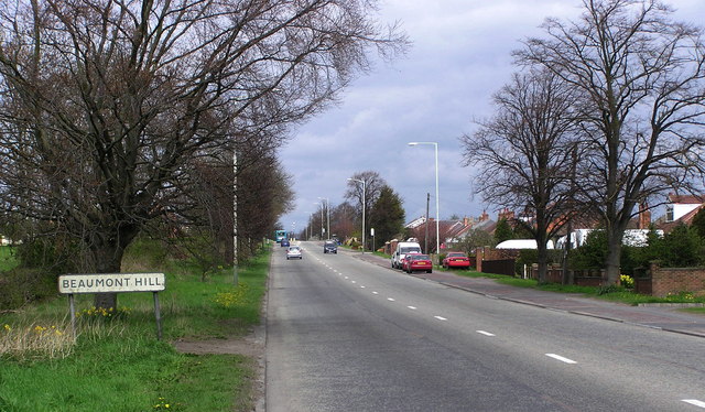
Beaumont Hill

Settlement in Durham

England

Beaumont Hill

River Skerne at Ketton River Skerne at Ketton
River Skerne at Ketton Credit: john durkin

Beaumont Hill is a small village located in County Durham, England. Situated approximately 6 miles south of Durham city, it falls within the civil parish of Merrington. The village is nestled within the picturesque countryside, offering residents and visitors stunning views of the surrounding area.

Historically, Beaumont Hill was a mining village, with coal mining being the primary industry in the region. However, the closure of the local mines in the 1960s led to a decline in the village's population and a shift towards a more residential and agricultural community.

Today, Beaumont Hill retains its rural charm and tranquility. The village is home to a close-knit community, with a small number of residential properties, a local pub, and a village hall. The pub serves as a social hub for the villagers, providing a place for locals to gather, socialize, and enjoy a pint.

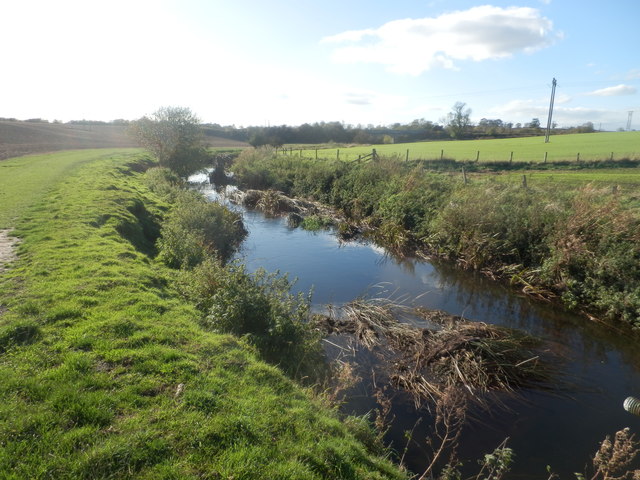
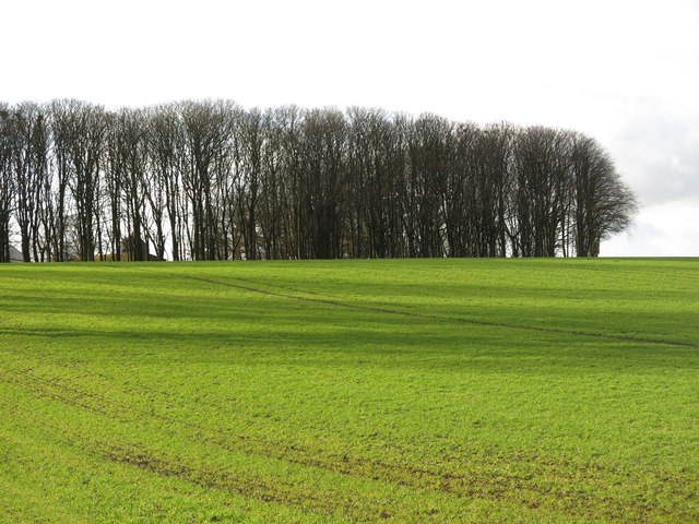
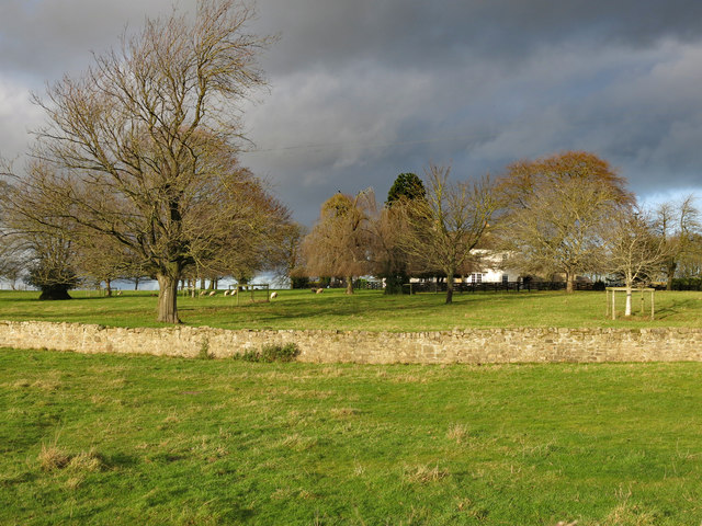
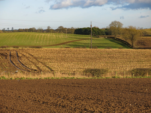
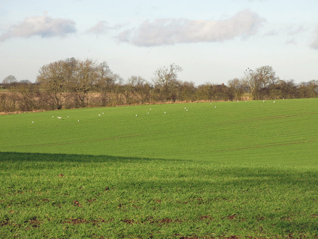
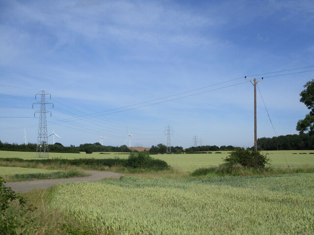
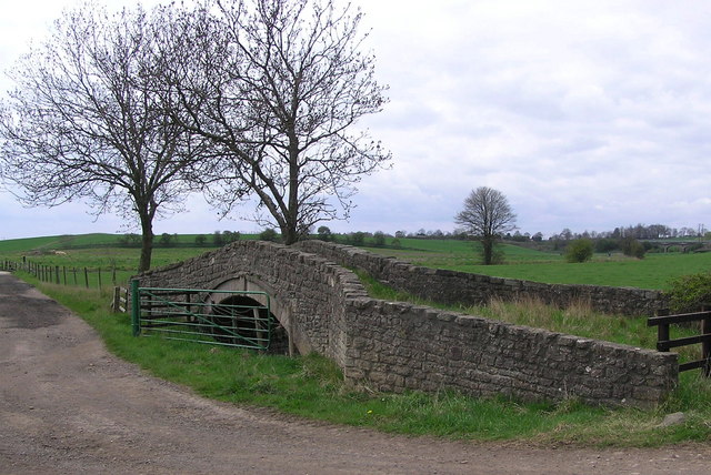
The village is surrounded by a beautiful countryside landscape, offering plenty of opportunities for outdoor activities such as walking, cycling, and horseback riding. The nearby River Wear also provides a picturesque setting for fishing and boating enthusiasts.

While Beaumont Hill may not offer extensive amenities or commercial establishments, its peaceful ambiance, friendly community, and stunning natural surroundings make it an ideal place for those seeking a tranquil rural retreat within close proximity to Durham city.

If you have any feedback on the listing, please let us know in the comments section below.

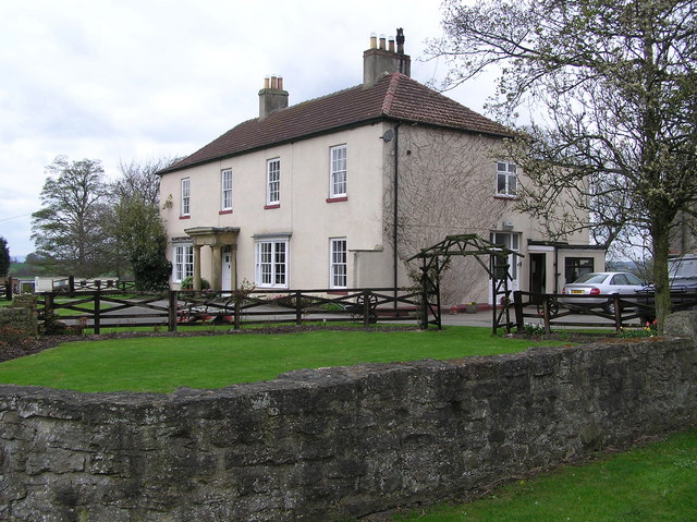
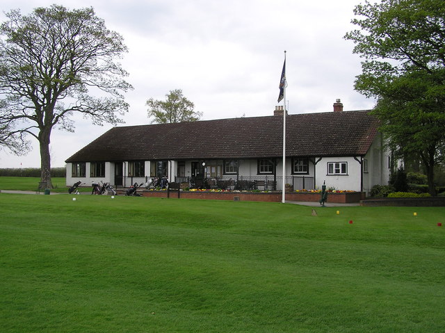
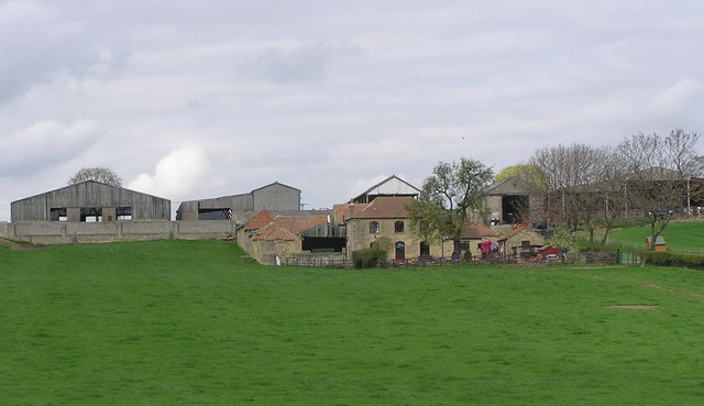
Beaumont Hill Images

Images are sourced within 2km of 54.562262/-1.551026 or Grid Reference NZ2918. Thanks to Geograph Open Source API. All images are credited.

River Skerne at Ketton River Skerne at Ketton
River Skerne at Ketton
Old apple tree at Skerningham Manor Old apple tree at track to Skerningham Manor
Old apple tree at Skerningham Manor
Old apple tree at track to Skerningham Manor
Farmland and copse north of Ketton Hall
Farmland south of Peartree House Looking across the valley of the River Skerne from Ketton Lane, with the <a href="https://www.geograph.org.uk/photo/161090">NZ3019 : Ketton Packhorse  Bridge</a> (photographed by Hugh Mortimer) on the right.
Farmland south of Peartree House
Looking across the valley of the River Skerne from Ketton Lane, with the NZ3019 : Ketton Packhorse Bridge (photographed by Hugh Mortimer) on the right.
Ketton Hall
Ketton Hall
Farmland south of East Ketton
Farmland north of Ketton Hall
Field on Low Skerningham Lane
Signs on Green Lane Two public bridleway signs and a no fly tipping sign on Green Lane
Signs on Green Lane
Two public bridleway signs and a no fly tipping sign on Green Lane
Skerningham  Manor
Skerningham Manor
Ketton Packhorse  Bridge On the course of Ketton Road an ancient Drove Road. Medieval in date (1066-1540). The course of the river has been changed and now runs to the south.
Ketton Packhorse Bridge
On the course of Ketton Road an ancient Drove Road. Medieval in date (1066-1540). The course of the river has been changed and now runs to the south.
Ketton Hall Ketton Hall was the home of Charles Colling, a well-known stock breeder. In 1784 he is said to have paid eight guineas for a bull from a neighbouring farmer, and after naming it 'Hubback', he used it to breed Durham short-horns. He received the first ever 100-guinea fee paid for a Shorthorn and, when he gave up farming, his bull, 'Comet' fetched 1,000 guineas.
Ketton Hall
Ketton Hall was the home of Charles Colling, a well-known stock breeder. In 1784 he is said to have paid eight guineas for a bull from a neighbouring farmer, and after naming it 'Hubback', he used it to breed Durham short-horns. He received the first ever 100-guinea fee paid for a Shorthorn and, when he gave up farming, his bull, 'Comet' fetched 1,000 guineas.
Darlington Golf  Club Clubhouse : Founded 1908.
Darlington Golf Club
Clubhouse : Founded 1908.
Peartree  House Farm : with Ketton Hall to the right.
Peartree House
Farm : with Ketton Hall to the right.
Refurbished Skerningham Manor with extensions Situated north west of Barmpton just to the north of Darlington
Refurbished Skerningham Manor with extensions
Situated north west of Barmpton just to the north of Darlington
Footpath in Hutton Plantation Near Barmpton Darlington
Footpath in Hutton Plantation
Near Barmpton Darlington
Skerningham Community Woodland Recently developed just to the north of Darlington in Barmpton Parish
Skerningham Community Woodland
Recently developed just to the north of Darlington in Barmpton Parish
Skerningham Cottage New development north of Skeringham Manor just north of Darlington
Skerningham Cottage
New development north of Skeringham Manor just north of Darlington
Show me another place!

Beaumont Hill is located at Grid Ref: NZ2918 (Lat: 54.562262, Lng: -1.551026)

Unitary Authority: Darlington

Police Authority: Durham

What 3 Words

///talked.glad.flash. Near Coatham Mundeville, Co. Durham

Nearby Locations

Beaumont Hill

Related Wikis

Beaumont Hill

Beaumont Hill is a village in the borough of Darlington and the traditional and ceremonial counties of Durham in England, situated directly to the north...

A167 road

The A167 and A167(M) is a road in North East England. It is partially a trunk road and partially a motorway, where it is commonly referred to as Newcastle...

Harrowgate, County Durham

Harrowgate is a suburb of Darlington in the Borough of Darlington, County Durham, England. The area includes the villages of Beaumont Hill, the Harrowgate...

Redcar Field

Redcar Field is a Site of Special Scientific Interest in the Darlington district of County Durham, England. It is situated just north of Darlington, about...

Nearby Amenities

Located within 500m of 54.562262,-1.551026
Harrowgate Village
Is In Country Code: GB
Is In County: County Durham
Is In Municipality: Darlington
Place: hamlet
Wikidata: Q9286583
Lat/Long: 54.5593618/-1.5504278
Power: pole
Lat/Long: 54.5640415/-1.5505839
Power: pole
Lat/Long: 54.5647555/-1.5463695
Power: pole
Lat/Long: 54.5580495/-1.5528903
Design: asymmetric
Material: metal
Power: tower
Lat/Long: 54.5656494/-1.5516986
Post Box
Ref: DL1 239
Source: survey
Lat/Long: 54.5613796/-1.5490646
Power: tower
Lat/Long: 54.5662222/-1.5489931
Design: asymmetric
Material: metal
Power: tower
Lat/Long: 54.5645566/-1.5526895
Material: metal
Power: tower
Lat/Long: 54.563458/-1.5536856
Material: metal
Power: tower
Lat/Long: 54.5620331/-1.5549774
Material: metal
Power: tower
Lat/Long: 54.5606068/-1.5562705
Crossing
Lat/Long: 54.5621479/-1.5491407
Waste Basket
Waste: dog_excrement
Lat/Long: 54.5623944/-1.5459239
Power: pole
Lat/Long: 54.5643709/-1.5486397
Power: pole
Lat/Long: 54.5627506/-1.5510808
Power: pole
Lat/Long: 54.5617343/-1.551472
Power: pole
Lat/Long: 54.5604067/-1.551983
Power: pole
Lat/Long: 54.5594201/-1.5523627
Bus Stop
Bench: no
Bus: yes
Naptan AtcoCode: 07605007
Naptan NaptanCode: dloadadw
Public Transport: platform
Shelter: no
Lat/Long: 54.5621629/-1.5493998
The data included in this document is from www.openstreetmap.org. The data is made available under ODbL.

Have you been to Beaumont Hill?

Leave your review of Beaumont Hill below (or comments, questions and feedback).