Beaumont

Settlement in Essex Tendring

England

Beaumont

Glebehill Cottages on the B1414 The track to the left leads to farmland.
Glebehill Cottages on the B1414 Credit: Glyn Baker

Beaumont is a small village situated in the county of Essex, England. It is located approximately 4 miles northeast of the town of Saffron Walden and 22 miles south of Cambridge. With a population of around 600 residents, Beaumont is considered a quiet and close-knit community.

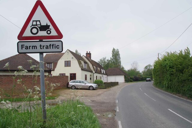
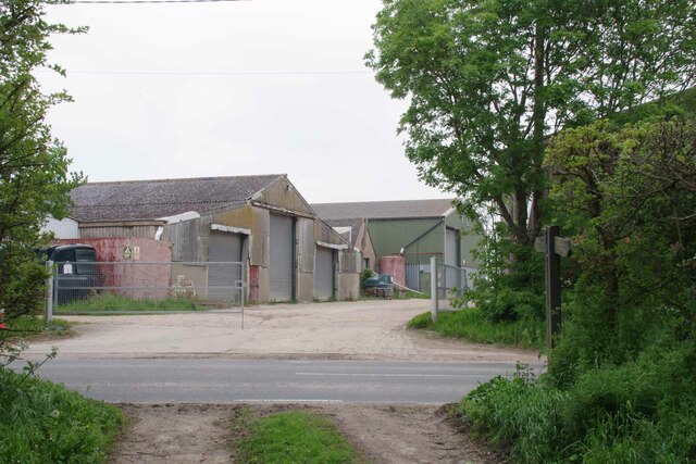
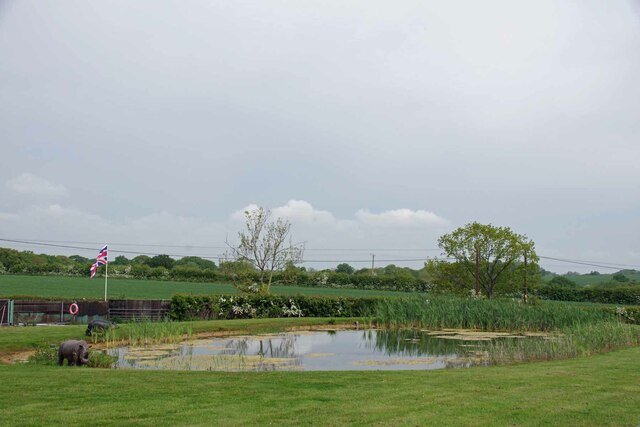
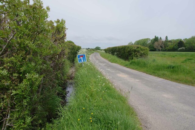
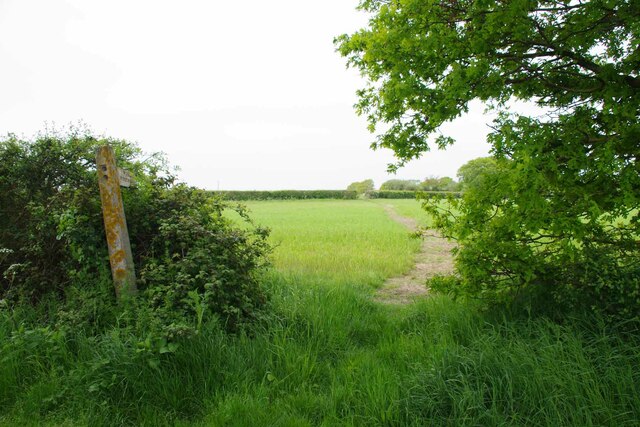
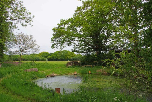
The village is known for its charming rural setting, surrounded by picturesque countryside and rolling hills. It offers a tranquil and idyllic escape from the hustle and bustle of city life. The landscape is dominated by open fields, meadows, and woodlands, providing ample opportunities for outdoor activities such as hiking, cycling, and horse riding.

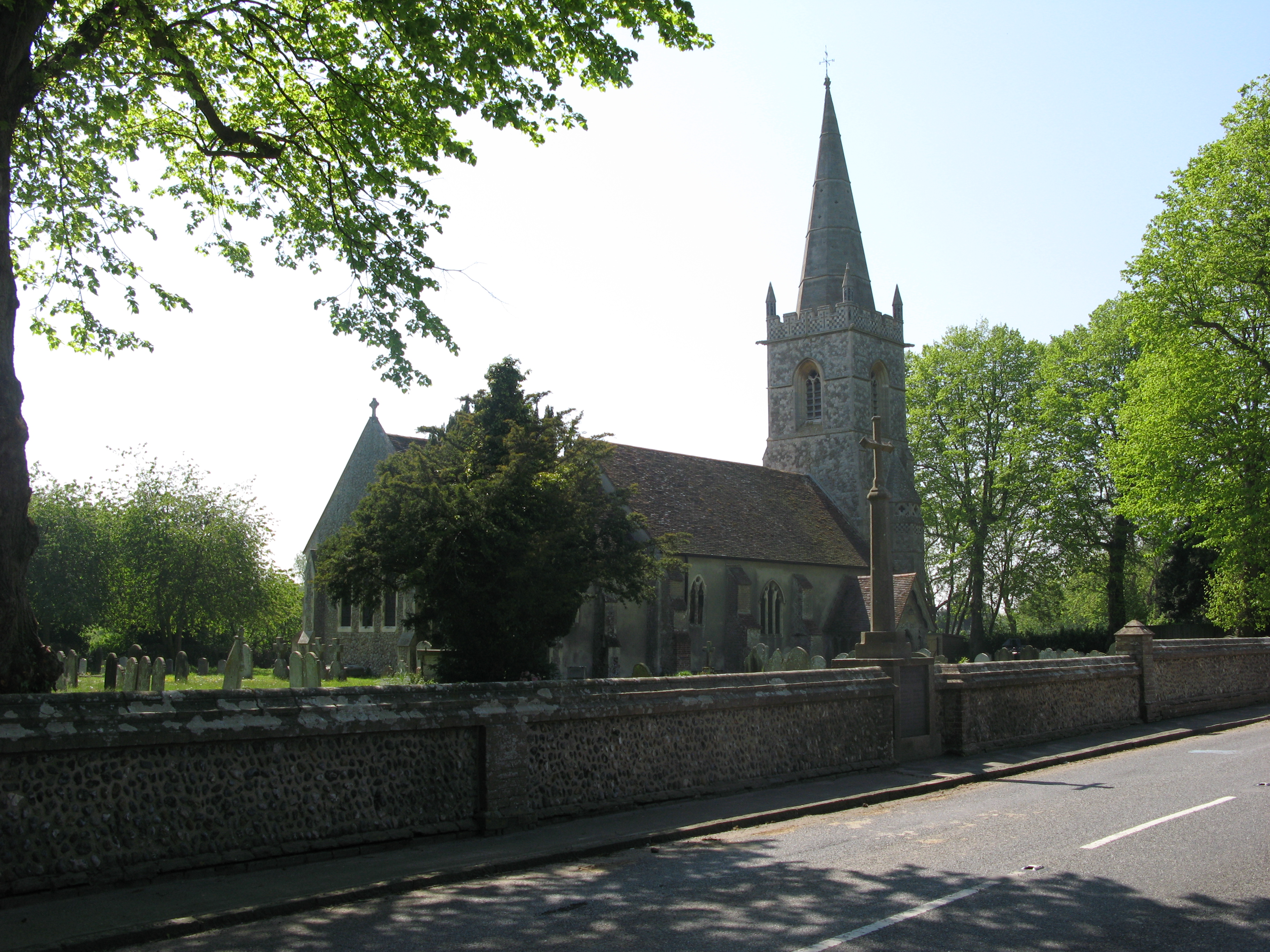
Historically, Beaumont has a rich heritage dating back centuries. The village is home to several Grade II listed buildings, including the St. Leonard's Church, which traces its origins back to the 12th century. The church features stunning architectural details and serves as a reminder of the area's long-standing history.

Despite its small size, Beaumont benefits from a close proximity to nearby towns and amenities. Saffron Walden, a market town renowned for its medieval architecture and vibrant market square, offers a range of shops, restaurants, and services, just a short drive away. Additionally, the city of Cambridge, famous for its prestigious university and cultural attractions, is easily accessible for residents seeking a wider array of amenities and entertainment options.

In summary, Beaumont is a charming village in Essex, offering a peaceful countryside setting, a rich historical heritage, and easy access to nearby towns and cities. It is an ideal place for those seeking a quiet and scenic retreat.

If you have any feedback on the listing, please let us know in the comments section below.

Beaumont Images

Images are sourced within 2km of 51.880831/1.148943 or Grid Reference TM1624. Thanks to Geograph Open Source API. All images are credited.

Glebehill Cottages on the B1414 The track to the left leads to farmland.
Glebehill Cottages on the B1414
The track to the left leads to farmland.
Footpath 159_11 Past Horseshoes The seat in the garden was decorated with carved horseshoes reflecting the name of the property.
Footpath 159_11 Past Horseshoes
The seat in the garden was decorated with carved horseshoes reflecting the name of the property.
Beaumont Cum Moze Footpath 11 The path crosses the B1414 then joins up with Great Oakley footpath 7 and finally ends up at <a href="https://www.geograph.org.uk/photo/7484308">TM1926 : Footpath 1 Beaumont Cum Moze</a> outside Great Oakley.
Beaumont Cum Moze Footpath 11
The path crosses the B1414 then joins up with Great Oakley footpath 7 and finally ends up at TM1926 : Footpath 1 Beaumont Cum Moze outside Great Oakley.
Old Barn and Footpath 159_10 Beaumont Cum Moze footpath 10 and decaying barn.
Old Barn and Footpath 159_10
Beaumont Cum Moze footpath 10 and decaying barn.
Beaumont Cum Moze Footpath 26 The last house in the terrace is getting an extension.
Beaumont Cum Moze Footpath 26
The last house in the terrace is getting an extension.
Coronation Villas Beaumont Cum Moze Every one of the houses has been so stripped of original features it is very difficult to work out which coronation was being marked. 1902, 1911 or 1937 . However they do look pre WW2.
Coronation Villas Beaumont Cum Moze
Every one of the houses has been so stripped of original features it is very difficult to work out which coronation was being marked. 1902, 1911 or 1937 . However they do look pre WW2.
Old School House Panorama The thatched house is the old school in Beaumont Cum Moze.
Old School House Panorama
The thatched house is the old school in Beaumont Cum Moze.
Farm Track near Northfield Farm
Old Plough at Willow Tree Cottage Looking towards Great Oakley on the Harwich Road.
Old Plough at Willow Tree Cottage
Looking towards Great Oakley on the Harwich Road.
Pond and Plastic Pachyderms The pond on Frost Farm sported a model  hippopotamus and rhinoceros. One up on a garden gnome I suppose!
Pond and Plastic Pachyderms
The pond on Frost Farm sported a model hippopotamus and rhinoceros. One up on a garden gnome I suppose!
Hillhouse Lane Looking towards Hillhouse Farm.
Hillhouse Lane
Looking towards Hillhouse Farm.
Footpath 2 Thorpe le Soken Looking towards <a href="https://www.geograph.org.uk/photo/7490054">TM1623 : Hillhouse Lane</a>
Footpath 2 Thorpe le Soken
Looking towards TM1623 : Hillhouse Lane
Pond in Whitehall Lane On the other side of the lane from Bradley Hall.
Pond in Whitehall Lane
On the other side of the lane from Bradley Hall.
Tendering Road Panorama Tendering seemed to be plastered with planning notices referencing scraps of land that will be affected by works related to the North Falls Offshore Wind Farm. See <a href="https://www.geograph.org.uk/photo/7490109">TM1623 : North Shore Parcel 1376 Notice</a>
Tendering Road Panorama
Tendering seemed to be plastered with planning notices referencing scraps of land that will be affected by works related to the North Falls Offshore Wind Farm. See TM1623 : North Shore Parcel 1376 Notice
North Shore Parcel 1376 Notice A close up of one of the signs in <a href="https://www.geograph.org.uk/photo/7490108">TM1623 : Tendering Road Panorama</a>
North Shore Parcel 1376 Notice
A close up of one of the signs in TM1623 : Tendering Road Panorama
Approaching Thorpe le Soken Looking along the B1033 towards the village
Approaching Thorpe le Soken
Looking along the B1033 towards the village
Flush Bracket Bench Mark Bench mark located on church
Flush Bracket Bench Mark
Bench mark located on church
Vertical Sundial on south wall of church Vertical sundial in slate with royal cypher
Vertical Sundial on south wall of church
Vertical sundial in slate with royal cypher
Show me another place!

Beaumont is located at Grid Ref: TM1624 (Lat: 51.880831, Lng: 1.148943)

Administrative County: Essex

District: Tendring

Police Authority: Essex

What 3 Words

///rests.appointed.migrants. Near Thorpe le Soken, Essex

Nearby Locations

Beaumont

Related Wikis

Beaumont-cum-Moze

Beaumont-cum-Moze (grid reference TM175250) is a civil parish in the Tendring district of Essex, England. According to the 2001 census it had a population...

Stones Green

Stones Green is a hamlet near the village of Wix and the town of Harwich, in the Tendring district, in the English county of Essex. == References == A...
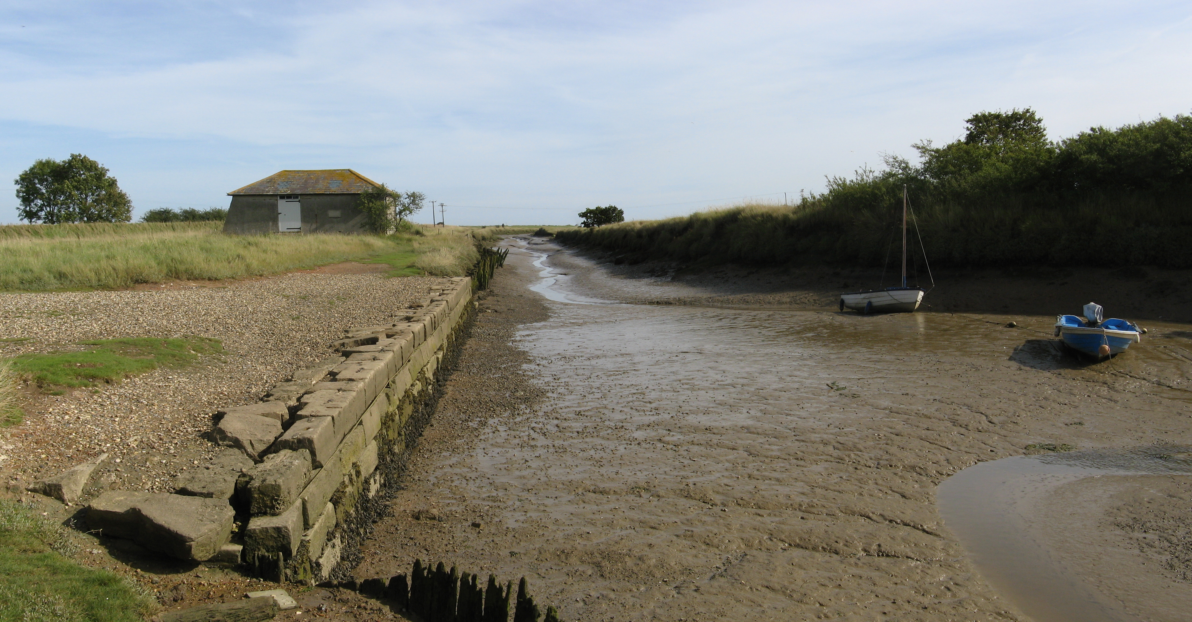
Beaumont Cut

Beaumont Cut was a 1-kilometre-long (1,090 yd) canal linking Beaumont Quay, in the parish of Beaumont-cum-Moze, Tendring, Essex, England, with Hamford...

Comarques, Thorpe-le-Soken

Comarques is an 18th-century country house in Thorpe-le-Soken, Essex, England. It has been attributed to the architect, Sir Robert Taylor. Named after...

Tendring

Tendring is a village and civil parish in Essex. It gives its name to the Tendring District and before that the Tendring Hundred. Its name was given to...

Thorpe-le-Soken

Thorpe-le-Soken is a village and civil parish in the Tendring district of Essex, England. It is located east of Colchester, west of Walton-on-the-Naze...

Landermere Wharf

Landermere Wharf, sometimes called Landermere Quay, is a former dock area suitable for lying at anchor in the Tendring district of Essex, England.The wharf...

Thorpe Hall (Thorpe-le-Soken)

Thorpe Hall was a manor house built in the Georgian style at Thorpe-le-Soken in Essex, England. == History == The Thorpe Manor estate belonged to the Dean...

Nearby Amenities

Located within 500m of 51.880831,1.148943
Post Box
Ref: CO16 7
Lat/Long: 51.8813965/1.1498285
Power: pole
Source: bing
Lat/Long: 51.8771701/1.1473414
Power: pole
Source: bing
Lat/Long: 51.8782038/1.1474111
Power: pole
Source: bing
Lat/Long: 51.8795081/1.147461
Power: pole
Source: bing
Lat/Long: 51.8809051/1.1475196
Power: pole
Source: bing
Lat/Long: 51.8818215/1.1475467
Power: pole
Source: bing
Lat/Long: 51.8829722/1.1475786
Power: pole
Source: bing
Lat/Long: 51.8839791/1.1472118
Power: pole
Source: bing
Lat/Long: 51.8850368/1.1467698
The data included in this document is from www.openstreetmap.org. The data is made available under ODbL.

Have you been to Beaumont?

Leave your review of Beaumont below (or comments, questions and feedback).