Saltwick Nab
Coastal Feature, Headland, Point in Yorkshire Scarborough
England
Saltwick Nab
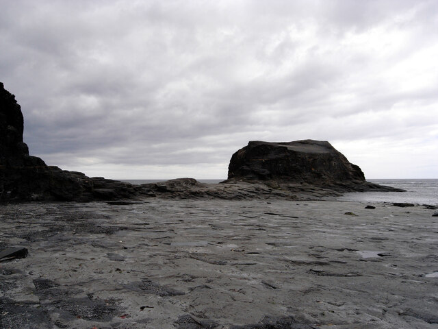
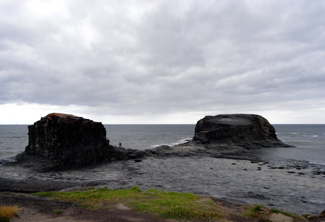
Saltwick Nab is a prominent coastal feature located in Yorkshire, England. It is a headland or point that extends into the North Sea, offering stunning views of the surrounding cliffs and coastline. With its rugged and dramatic landscape, Saltwick Nab has become a popular destination for nature enthusiasts, photographers, and tourists alike.
Situated near the town of Whitby, Saltwick Nab is known for its towering cliffs that reach up to 100 feet in height. These cliffs are composed of layers of shale, sandstone, and limestone, which have been shaped by the erosive forces of wind and water over thousands of years. At the base of the cliffs, visitors can find a picturesque pebble beach, providing a tranquil spot to relax and enjoy the coastal scenery.
One of the highlights of Saltwick Nab is the presence of several caves that have formed within the cliffs. These caves, such as Black Nab and Saltwick Bay Cave, are formed through the constant erosion of the softer rocks by the sea. They are home to a variety of wildlife, including seabirds and marine creatures, which can be observed from a safe distance.
The geological significance of Saltwick Nab extends beyond its striking appearance. Fossils of various marine animals, including ammonites and belemnites, have been found in the area, providing valuable insights into the region's prehistoric past.
Overall, Saltwick Nab offers visitors a unique opportunity to witness the beauty of Yorkshire's coastline. Its cliffs, caves, and fossil-rich rocks make it a must-visit destination for those seeking to explore the natural wonders of the area.
If you have any feedback on the listing, please let us know in the comments section below.
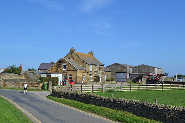
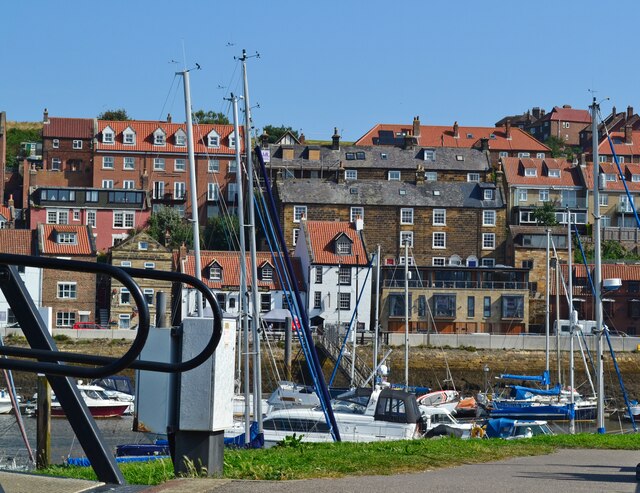
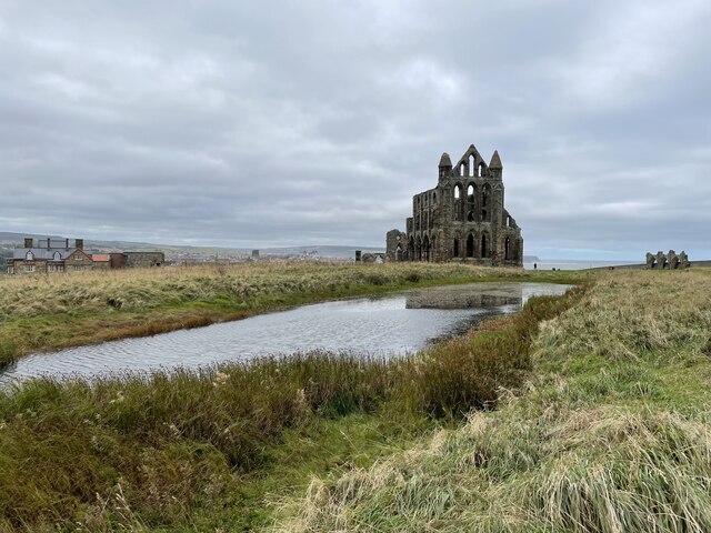
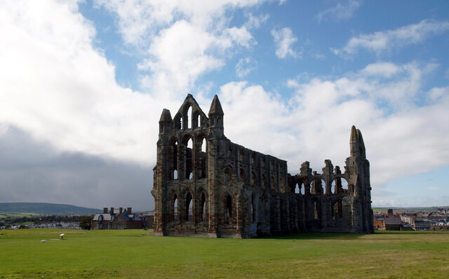
Saltwick Nab Images
Images are sourced within 2km of 54.488852/-0.58909195 or Grid Reference NZ9111. Thanks to Geograph Open Source API. All images are credited.


Saltwick Nab is located at Grid Ref: NZ9111 (Lat: 54.488852, Lng: -0.58909195)
Division: North Riding
Administrative County: North Yorkshire
District: Scarborough
Police Authority: North Yorkshire
What 3 Words
///reframe.twinkling.graced. Near Whitby, North Yorkshire
Nearby Locations
Related Wikis

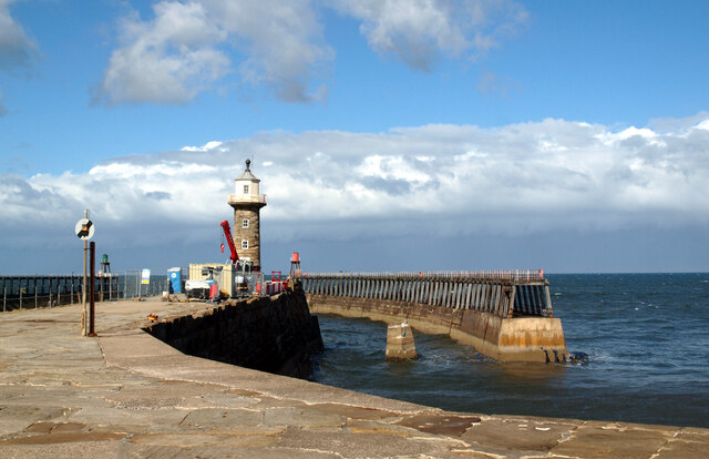
Saltwick Bay
Saltwick Bay is a north-east facing bay approximately one mile (1.6 km) to the east of Whitby, on the east coast of North Yorkshire, England. The bay contains...

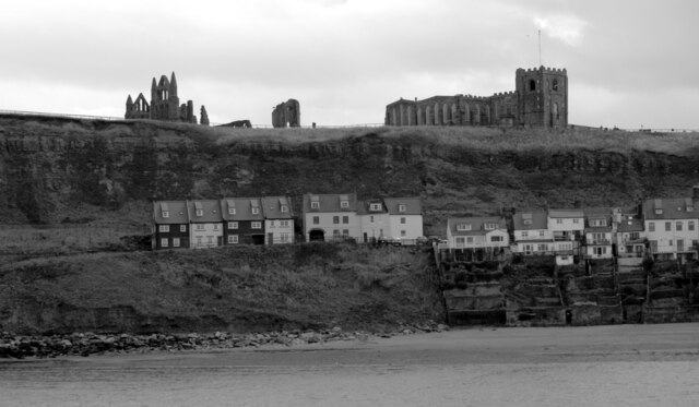
Whitby Abbey
Whitby Abbey was a 7th-century Christian monastery that later became a Benedictine abbey. The abbey church was situated overlooking the North Sea on the...
Cholmley House
Cholmley House or Whitby Hall is a banqueting house sited next to the ruins of Whitby Abbey in North Yorkshire, England. It was built in 1672 by Sir Hugh...

St Mary's Church, Whitby
The Church of Saint Mary is an Anglican parish church serving the town of Whitby in North Yorkshire England. It was founded around 1110, although its interior...

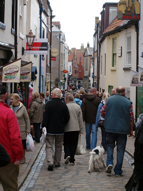
Whitby 199 steps
The Whitby 199 steps (also known as The Church Stairs and Jacob's Ladder), is a grade I listed structure between the Old Town and St Mary's Church, in...

Whitby Mudstone
The Whitby Mudstone is a Toarcian (Early Jurassic; Falciferum-Bifrons in regional chronostratigraphy) geological formation in Yorkshire and Worcestershire...
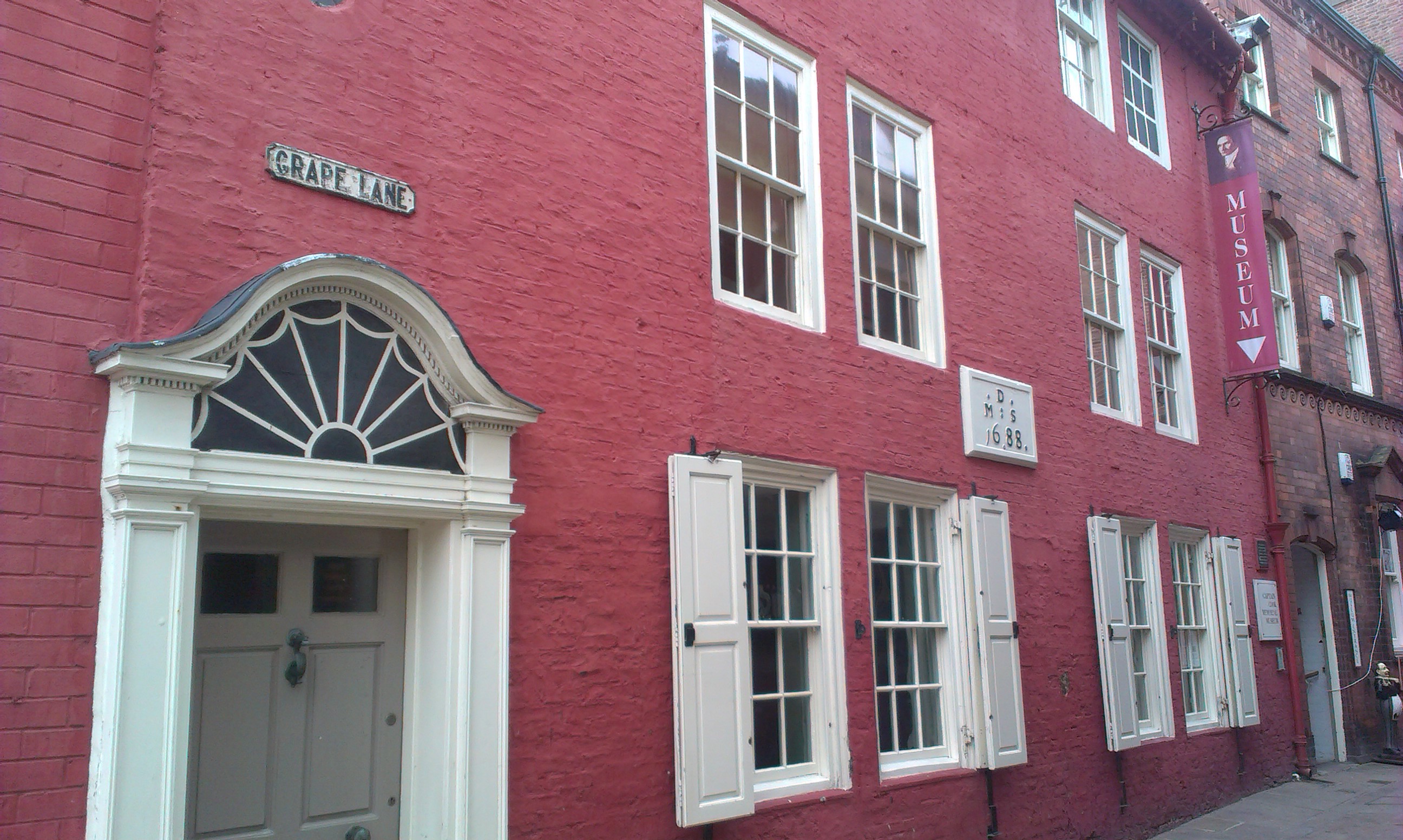
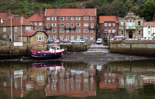
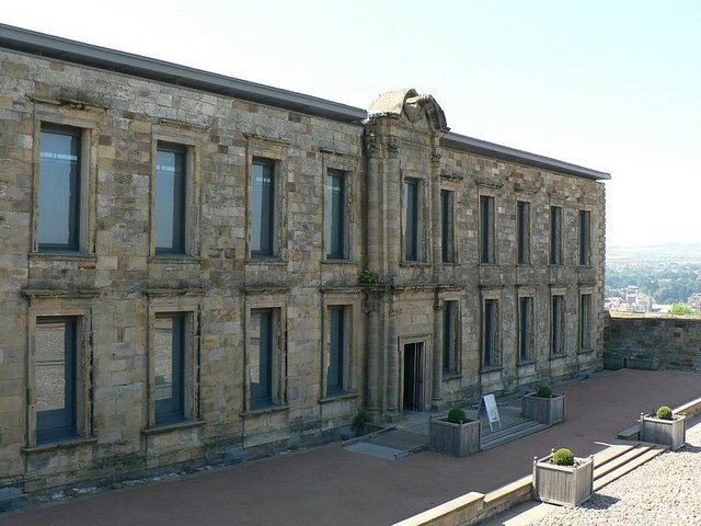
Captain Cook Memorial Museum
Captain Cook Memorial Museum is a history museum in Whitby, North Yorkshire, England. The museum building, Walker's House, belonged to Captain John Walker...
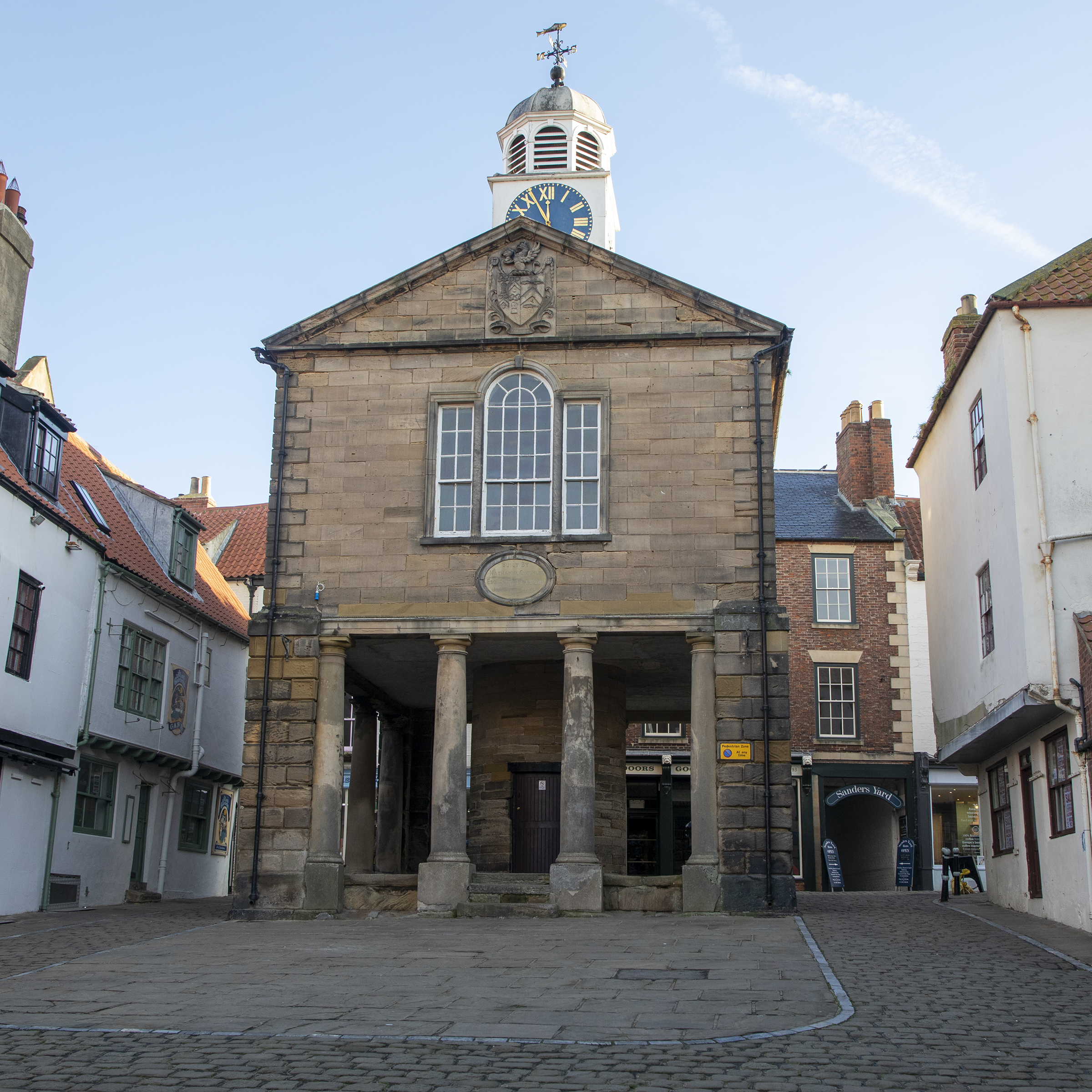
Old Town Hall, Whitby
The Old Town Hall, Whitby is a building on the Kirkgate section of Church Street, in the Old Town area of Whitby, North Yorkshire, England. == History... ==
Nearby Amenities
Located within 500m of 54.488852,-0.58909195Have you been to Saltwick Nab?
Leave your review of Saltwick Nab below (or comments, questions and feedback).