Second Nab
Coastal Feature, Headland, Point in Yorkshire Scarborough
England
Second Nab
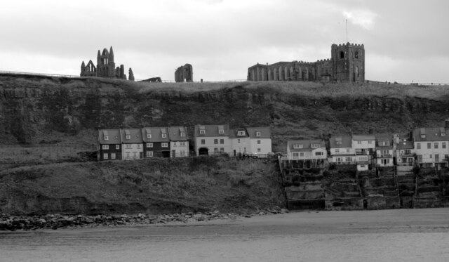
Second Nab is a prominent coastal feature located in Yorkshire, England. It is classified as a headland or point, jutting out into the North Sea. Situated between the popular seaside towns of Scarborough and Filey, Second Nab is a notable landmark along this stretch of the Yorkshire coastline.
The headland is characterized by its rugged and rocky terrain, with towering cliffs that provide stunning panoramic views of the surrounding area. The cliffs are composed of various sedimentary rock formations, including sandstone and shale, which have been shaped by years of erosion from the relentless waves of the North Sea.
Second Nab is known for its rich biodiversity, attracting a wide array of marine and bird species. The surrounding waters are home to diverse marine life, including seals, dolphins, and various fish species. Birdwatchers flock to the area to observe the numerous seabirds that inhabit the cliffs, such as puffins, guillemots, and kittiwakes.
The headland is a popular destination for outdoor enthusiasts, offering opportunities for hiking and exploring the rugged coastal landscape. Visitors can follow well-maintained trails that wind along the cliff edge, providing breathtaking views of the sea and the nearby coastline.
Second Nab is also of historical significance, with evidence of human activity dating back thousands of years. Archaeological discoveries have revealed ancient settlements and burial sites in the vicinity, indicating that this area has been inhabited for centuries.
Overall, Second Nab is a captivating coastal feature that combines natural beauty, wildlife diversity, and historical significance. It offers visitors a chance to immerse themselves in the stunning Yorkshire coastline and experience its rich natural and cultural heritage.
If you have any feedback on the listing, please let us know in the comments section below.
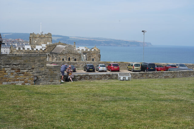
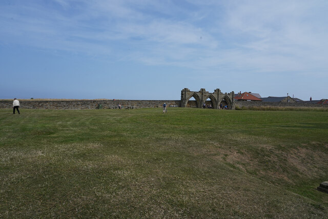
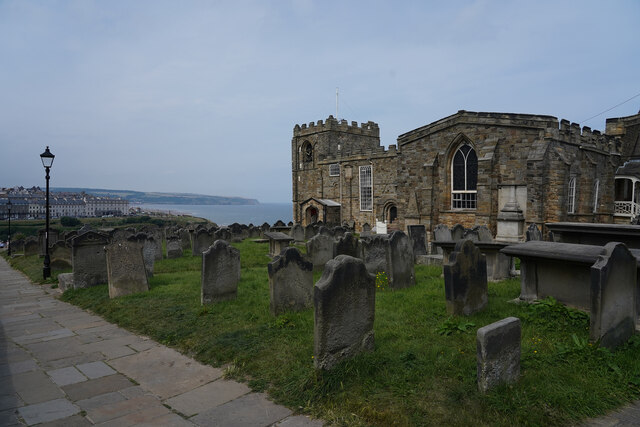
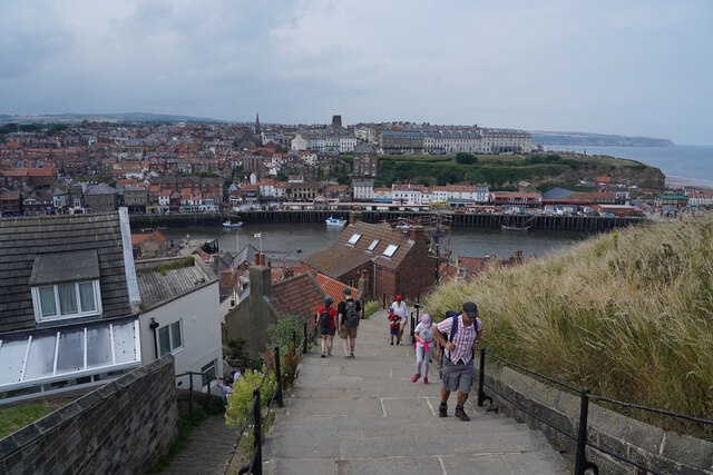
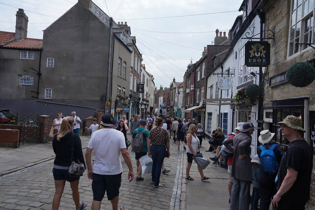
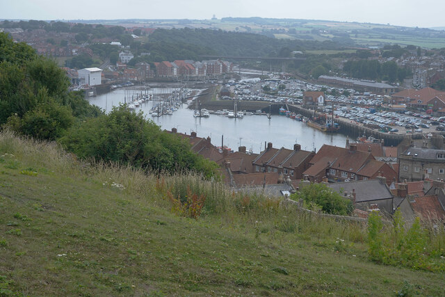
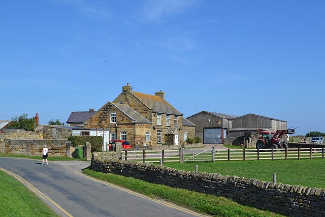
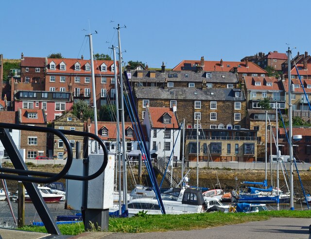
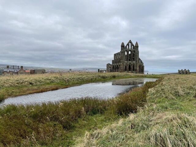
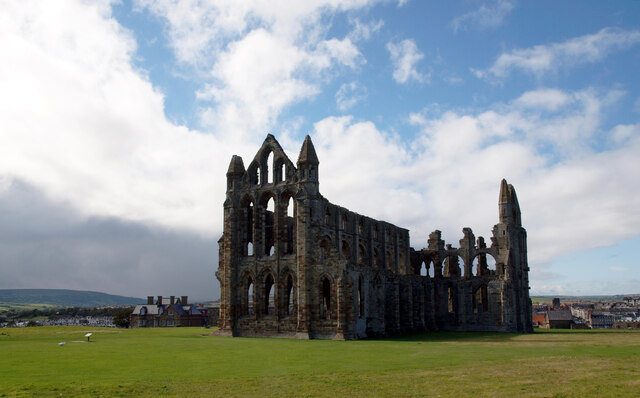
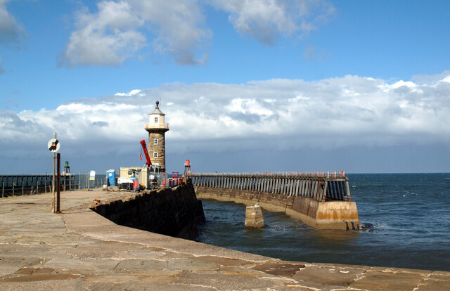
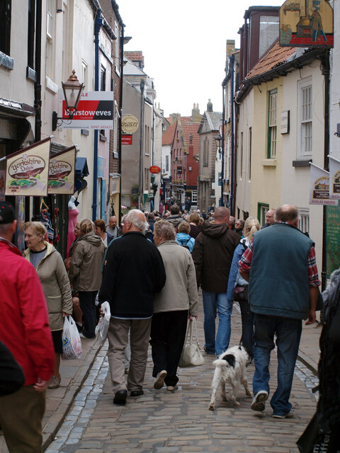
Second Nab Images
Images are sourced within 2km of 54.491123/-0.61921234 or Grid Reference NZ8911. Thanks to Geograph Open Source API. All images are credited.
Second Nab is located at Grid Ref: NZ8911 (Lat: 54.491123, Lng: -0.61921234)
Division: North Riding
Administrative County: North Yorkshire
District: Scarborough
Police Authority: North Yorkshire
What 3 Words
///butchers.uniform.dips. Near Whitby, North Yorkshire
Nearby Locations
Related Wikis

Magpie Café
The Magpie Café is a seafood restaurant in Whitby, North Yorkshire, England. It was established in 1937, but its building dates back to the 18th century...

Eskdale Anticline
The Eskdale Anticline is a dip-slip fault at Whitby in North Yorkshire, England. The anticline was thought to have stretched for approximately 20 kilometres...
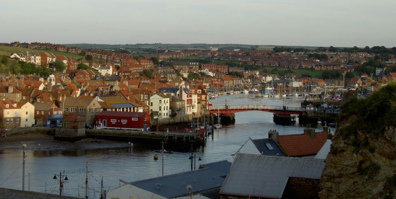
River Esk, North Yorkshire
The River Esk is a river in North Yorkshire, England that empties into the North Sea at Whitby after a course of around 28 miles (45 km) through the valley...

Whitby Lifeboat Station
Whitby Lifeboat Station is a Royal National Lifeboat Institution (RNLI) lifeboat station located in Whitby, North Yorkshire, England. It is one of nine...
Whitby Town F.C.
Whitby Town Football Club is an English football club based in Whitby, North Yorkshire. The club participates in the Northern Premier League, the seventh...
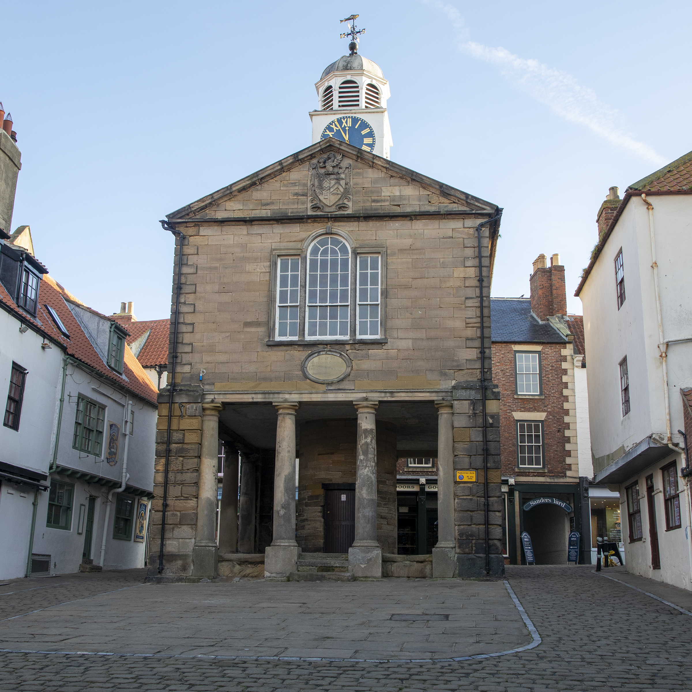
Old Town Hall, Whitby
The Old Town Hall, Whitby is a building on the Kirkgate section of Church Street, in the Old Town area of Whitby, North Yorkshire, England. == History... ==

Whitby 199 steps
The Whitby 199 steps (also known as The Church Stairs and Jacob's Ladder), is a grade I listed structure between the Old Town and St Mary's Church, in...

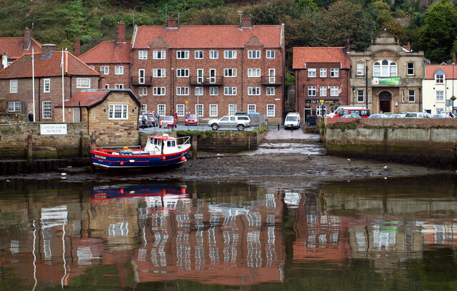
Whitby
Whitby is a seaside town, port and civil parish in North Yorkshire, England. The town is on the Yorkshire Coast at the mouth of the River Esk. It has a...
Nearby Amenities
Located within 500m of 54.491123,-0.61921234Have you been to Second Nab?
Leave your review of Second Nab below (or comments, questions and feedback).