Herring Geo
Coastal Feature, Headland, Point in Shetland
Scotland
Herring Geo
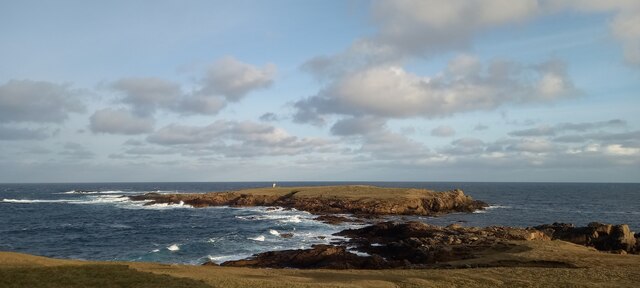
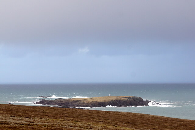
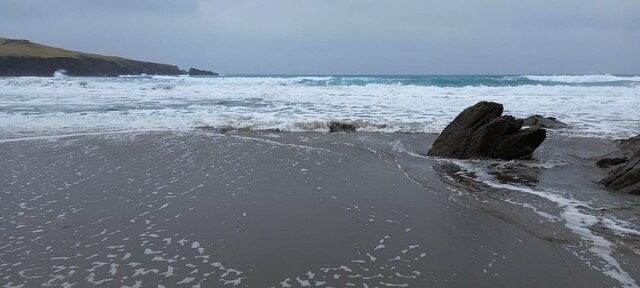
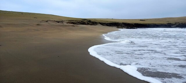
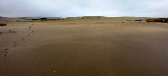
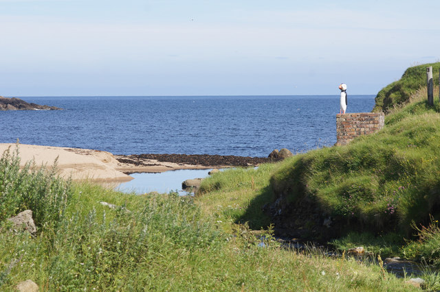
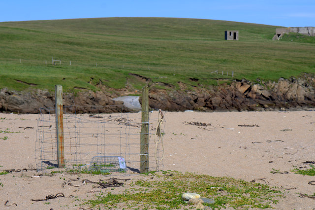
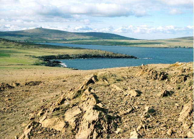
Herring Geo is a prominent coastal feature located in the Shetland Islands, an archipelago in Scotland. It is a headland that juts out into the North Sea, forming a distinct point along the rugged coastline. This geological formation is characterized by its steep cliffs, rocky outcrops, and a small pebbly beach nestled at its base.
The headland of Herring Geo is composed of layered sedimentary rocks, predominantly sandstone and shale, which have been shaped by the relentless forces of erosion over millions of years. The cliffs rise to a considerable height, providing breathtaking views of the surrounding seascape and the neighboring islands.
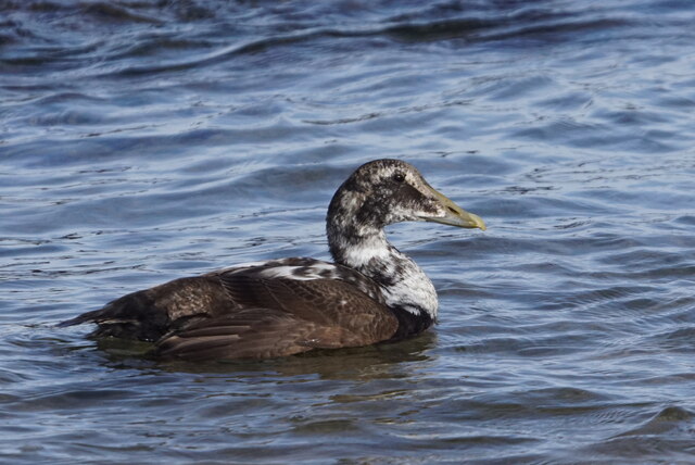
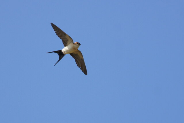
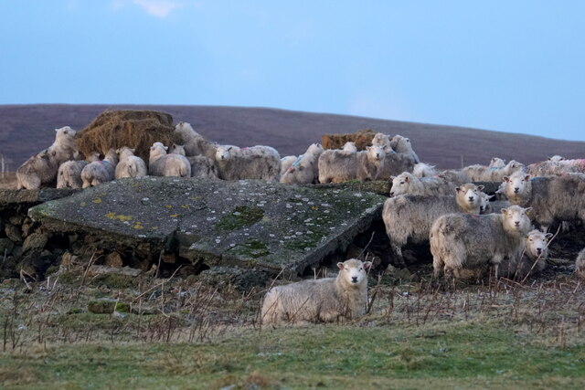
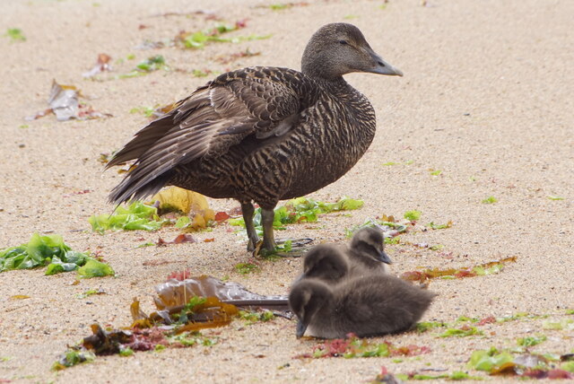
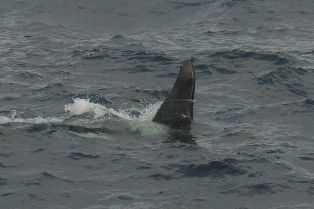
The area is renowned for its biodiversity, with a variety of seabirds, including fulmars and kittiwakes, nesting on the cliffs. The coastal waters surrounding Herring Geo are teeming with marine life, including seals, otters, and a wide array of fish species, such as herring - giving the headland its name.
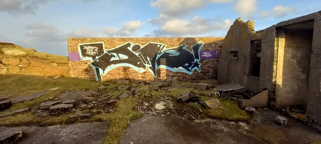
Herring Geo is not only a natural wonder but also holds historical significance. It has served as a landmark and navigational aid for sailors and fishermen for centuries. Additionally, remnants of ancient settlements and archaeological sites have been discovered nearby, indicating human presence in the area since ancient times.
Visitors to Herring Geo can enjoy scenic walks along the coastal paths, taking in the dramatic cliffs and observing the abundant wildlife. The headland's remote location and unspoiled natural beauty make it a popular destination for nature enthusiasts, photographers, and those seeking tranquility amidst the rugged Shetland landscape.
If you have any feedback on the listing, please let us know in the comments section below.
Herring Geo Images
Images are sourced within 2km of 60.818311/-0.76056847 or Grid Reference HP6715. Thanks to Geograph Open Source API. All images are credited.
Herring Geo is located at Grid Ref: HP6715 (Lat: 60.818311, Lng: -0.76056847)
Unitary Authority: Shetland Islands
Police Authority: Highlands and Islands
What 3 Words
///language.reeling.attention. Near Haroldswick, Shetland Islands
Nearby Locations
Related Wikis

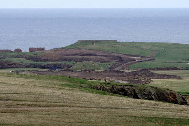
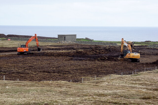
SaxaVord Spaceport
SaxaVord Spaceport, previously known as Shetland Space Centre, is a planned spaceport to be located on the Lamba Ness peninsula on Unst, the most northerly...

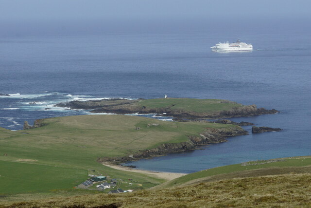
Holm of Skaw
The Holm of Skaw is a small islet off the northeast coast of the island of Unst. It is just northeast of the settlement of Skaw. The island is 57 feet...

Skaw, Unst
Skaw is a settlement in the Scottish archipelago of Shetland, located on the island of Unst. It is located north of Haroldswick on a peninsula in the northeast...

Saxa Vord distillery
Saxa Vord distillery is a Scotch whisky and gin distillery on the island of Unst, part of the Shetland islands. The distillery takes its name from its...

Valhalla Brewery
The Valhalla Brewery in Unst, Shetland, Scotland, was the northernmost brewery in the United Kingdom. It was opened by the husband and wife team Sonny...

RAF Saxa Vord
Remote Radar Head Saxa Vord or RRH Saxa Vord (aka RAF Saxa Vord), is a Royal Air Force radar station located on the island of Unst, the most northern of...

Haroldswick
Haroldswick or Harold's Wick (Old Norse: Haraldsvík, 'Harald's bay'), is on Unst, Shetland Islands, Scotland, and is one of the most northerly settlements...
Keen of Hamar
Keen of Hamar is a nature reserve on Unst, in Shetland, Scotland, managed by Scottish Natural Heritage. The reserve is primarily of botanical interest...
Nearby Amenities
Located within 500m of 60.818311,-0.76056847Have you been to Herring Geo?
Leave your review of Herring Geo below (or comments, questions and feedback).