Bothabid Geo
Coastal Feature, Headland, Point in Shetland
Scotland
Bothabid Geo
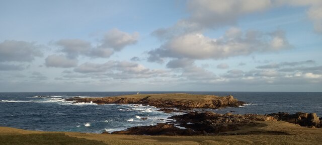
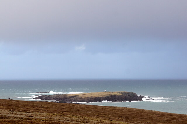
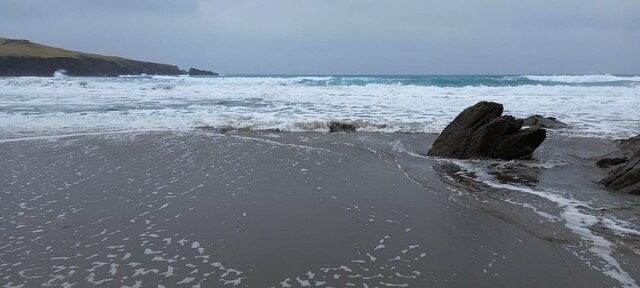
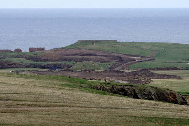
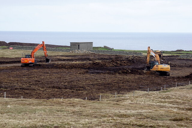
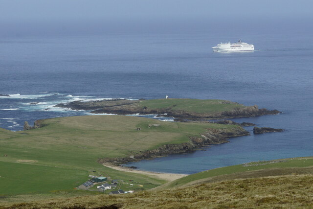
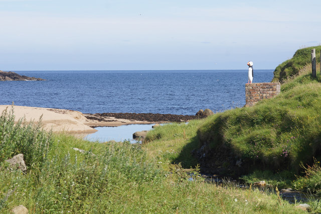
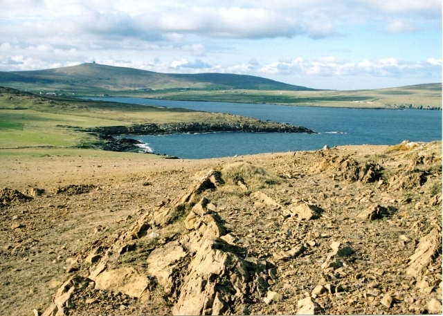
Bothabid Geo is a coastal feature located on the island of Shetland, which is part of Scotland. It is a prominent headland that juts out into the North Sea, forming a distinct point along the rugged coastline. Bothabid Geo is known for its stunning natural beauty, with steep cliffs and jagged rocks that have been shaped by the relentless force of the sea.
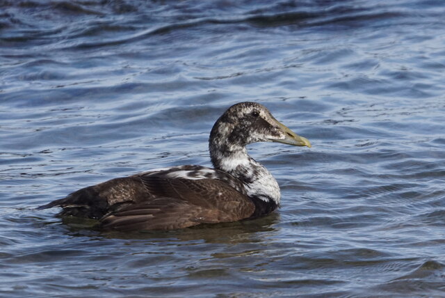
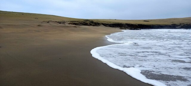
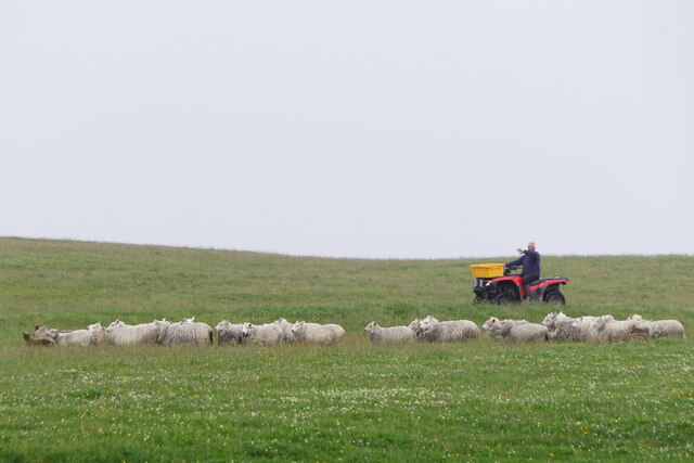
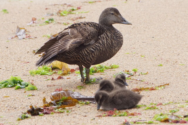
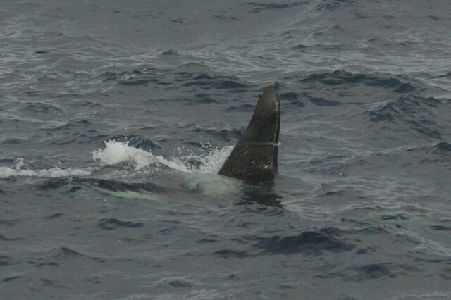
The headland offers breathtaking views of the surrounding landscape, including the vast expanse of the ocean and the nearby islands. It is a popular spot for tourists and locals alike, who come to appreciate the wild and untamed beauty of this remote location. The area is also a haven for wildlife, with various species of seabirds nesting on the cliffs and seals often spotted basking on the rocks.
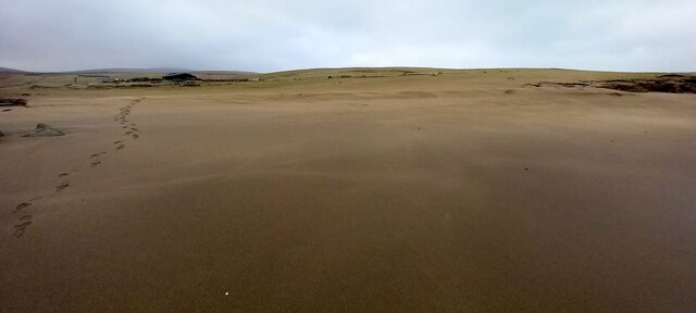
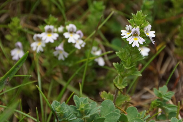
Bothabid Geo is easily accessible by foot, with a well-maintained coastal path leading to the headland. Visitors can take leisurely walks along the cliff edge, enjoying the fresh sea air and taking in the stunning scenery. The area is also popular with hikers and birdwatchers, who can explore the surrounding countryside and observe the diverse flora and fauna.
In addition to its natural splendor, Bothabid Geo also holds historical significance. It is believed to have been a site of Viking settlements, as evidenced by the presence of archaeological remains in the area. These remnants provide valuable insights into the island's rich cultural heritage and attract history enthusiasts from around the world.
Overall, Bothabid Geo is a captivating coastal feature that offers a unique combination of natural beauty, wildlife, and historical significance. It is a must-visit destination for those seeking an authentic and immersive experience in the remote and captivating landscape of Shetland.
If you have any feedback on the listing, please let us know in the comments section below.
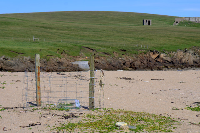
Bothabid Geo Images
Images are sourced within 2km of 60.816034/-0.76006818 or Grid Reference HP6715. Thanks to Geograph Open Source API. All images are credited.

Bothabid Geo is located at Grid Ref: HP6715 (Lat: 60.816034, Lng: -0.76006818)
Unitary Authority: Shetland Islands
Police Authority: Highlands and Islands
What 3 Words
///terminal.linked.canoe. Near Haroldswick, Shetland Islands
Nearby Locations
Related Wikis

SaxaVord Spaceport
SaxaVord Spaceport, previously known as Shetland Space Centre, is a planned spaceport to be located on the Lamba Ness peninsula on Unst, the most northerly...

Skaw, Unst
Skaw is a settlement in the Scottish archipelago of Shetland, located on the island of Unst. It is located north of Haroldswick on a peninsula in the northeast...

Holm of Skaw
The Holm of Skaw is a small islet off the northeast coast of the island of Unst. It is just northeast of the settlement of Skaw. The island is 57 feet...

Saxa Vord distillery
Saxa Vord distillery is a Scotch whisky and gin distillery on the island of Unst, part of the Shetland islands. The distillery takes its name from its...

Valhalla Brewery
The Valhalla Brewery in Unst, Shetland, Scotland, was the northernmost brewery in the United Kingdom. It was opened by the husband and wife team Sonny...

RAF Saxa Vord
Remote Radar Head Saxa Vord or RRH Saxa Vord (aka RAF Saxa Vord), is a Royal Air Force radar station located on the island of Unst, the most northern of...

Haroldswick
Haroldswick or Harold's Wick (Old Norse: Haraldsvík, 'Harald's bay'), is on Unst, Shetland Islands, Scotland, and is one of the most northerly settlements...
Keen of Hamar
Keen of Hamar is a nature reserve on Unst, in Shetland, Scotland, managed by Scottish Natural Heritage. The reserve is primarily of botanical interest...
Nearby Amenities
Located within 500m of 60.816034,-0.76006818Have you been to Bothabid Geo?
Leave your review of Bothabid Geo below (or comments, questions and feedback).