The Mooasunds
Bay in Shetland
Scotland
The Mooasunds
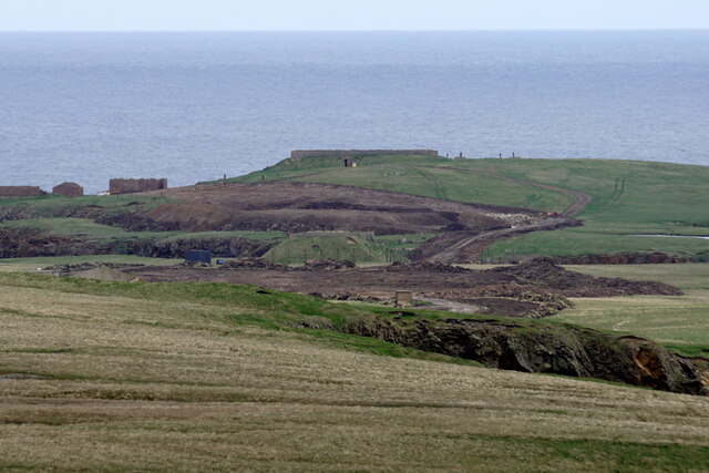
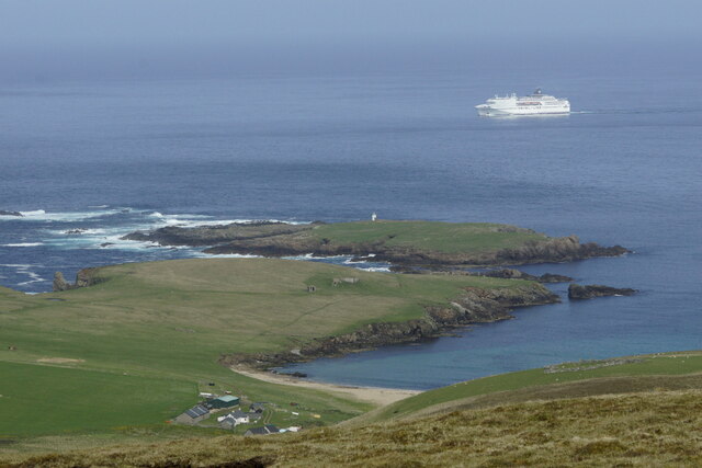
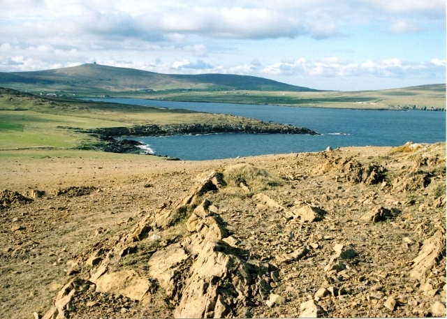
The Mooasunds, also known as Mooasund Bay, is a picturesque coastal area located in the Shetland Islands of Scotland. It lies on the west coast of the mainland, approximately 10 miles south of the town of Walls.
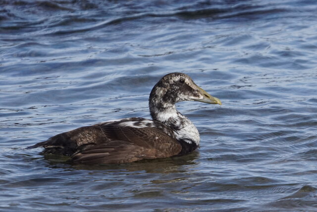
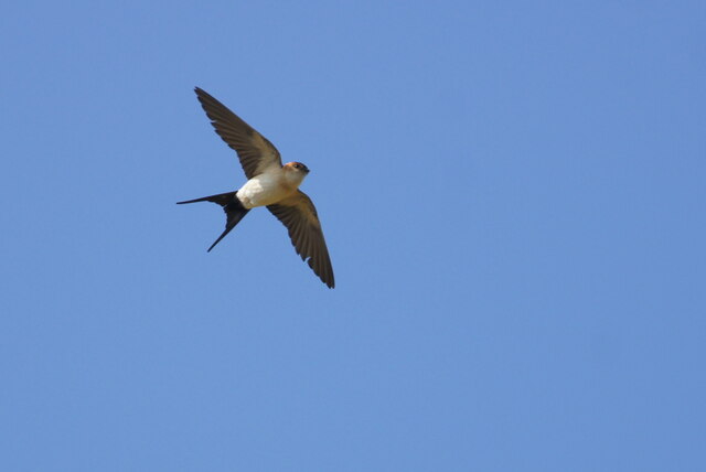
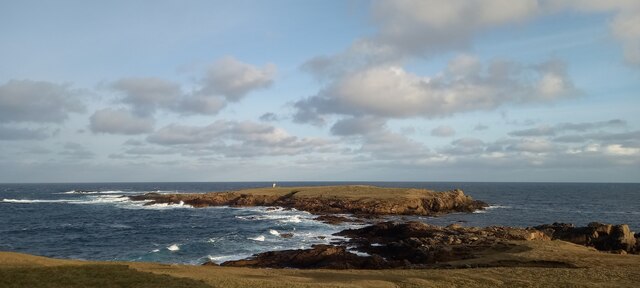
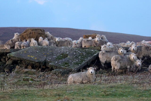
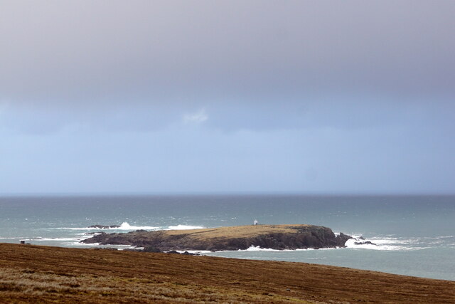
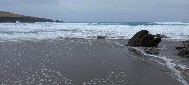
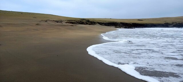
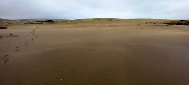
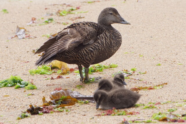
The Mooasunds is characterized by its rugged and dramatic landscape, with towering cliffs, rocky outcrops, and stunning sea views. The bay itself is a narrow inlet that stretches for about 1.5 miles, providing a sheltered haven for boats and yachts. The waters here are crystal clear, and the bay is often frequented by seals, dolphins, and a variety of seabirds.
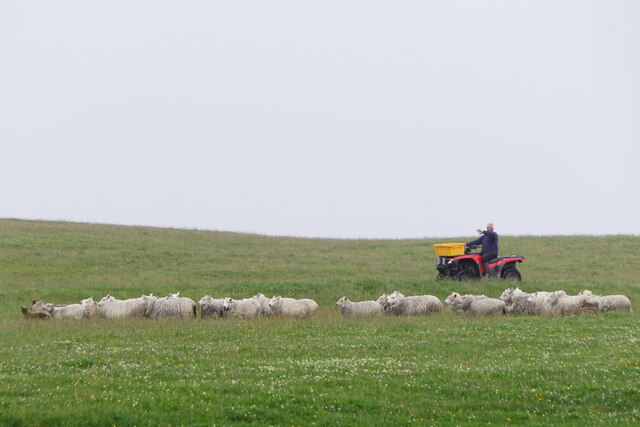
The area is popular among nature enthusiasts and outdoor adventurers due to its wealth of wildlife and scenic beauty. There are several walking trails along the coastline, offering breathtaking vistas of the bay and the surrounding cliffs. Visitors can also explore the nearby sea caves, which are carved into the cliffs by the powerful waves.
Fishing is another popular activity in the Mooasunds, with ample opportunities to catch species like mackerel, cod, and haddock. The bay is also a great spot for kayaking and paddleboarding, allowing visitors to explore the tranquil waters and hidden coves.
The Mooasunds offers a peaceful and idyllic retreat for those seeking a break from the hustle and bustle of city life. Its natural beauty and abundant wildlife make it a must-visit destination for nature lovers and outdoor enthusiasts alike.
If you have any feedback on the listing, please let us know in the comments section below.
The Mooasunds Images
Images are sourced within 2km of 60.815137/-0.76797127 or Grid Reference HP6715. Thanks to Geograph Open Source API. All images are credited.


The Mooasunds is located at Grid Ref: HP6715 (Lat: 60.815137, Lng: -0.76797127)
Unitary Authority: Shetland Islands
Police Authority: Highlands and Islands
What 3 Words
///sweat.molars.gambles. Near Haroldswick, Shetland Islands
Nearby Locations
Related Wikis

SaxaVord Spaceport
SaxaVord Spaceport, previously known as Shetland Space Centre, is a planned spaceport to be located on the Lamba Ness peninsula on Unst, the most northerly...

Skaw, Unst
Skaw is a settlement in the Scottish archipelago of Shetland, located on the island of Unst. It is located north of Haroldswick on a peninsula in the northeast...

Holm of Skaw
The Holm of Skaw is a small islet off the northeast coast of the island of Unst. It is just northeast of the settlement of Skaw. The island is 57 feet...

Saxa Vord distillery
Saxa Vord distillery is a Scotch whisky and gin distillery on the island of Unst, part of the Shetland islands. The distillery takes its name from its...

Valhalla Brewery
The Valhalla Brewery in Unst, Shetland, Scotland, was the northernmost brewery in the United Kingdom. It was opened by the husband and wife team Sonny...

RAF Saxa Vord
Remote Radar Head Saxa Vord or RRH Saxa Vord (aka RAF Saxa Vord), is a Royal Air Force radar station located on the island of Unst, the most northern of...

Haroldswick
Haroldswick or Harold's Wick (Old Norse: Haraldsvík, 'Harald's bay'), is on Unst, Shetland Islands, Scotland, and is one of the most northerly settlements...
Keen of Hamar
Keen of Hamar is a nature reserve on Unst, in Shetland, Scotland, managed by Scottish Natural Heritage. The reserve is primarily of botanical interest...
Nearby Amenities
Located within 500m of 60.815137,-0.76797127Have you been to The Mooasunds?
Leave your review of The Mooasunds below (or comments, questions and feedback).