Geo of Beespund
Coastal Feature, Headland, Point in Shetland
Scotland
Geo of Beespund
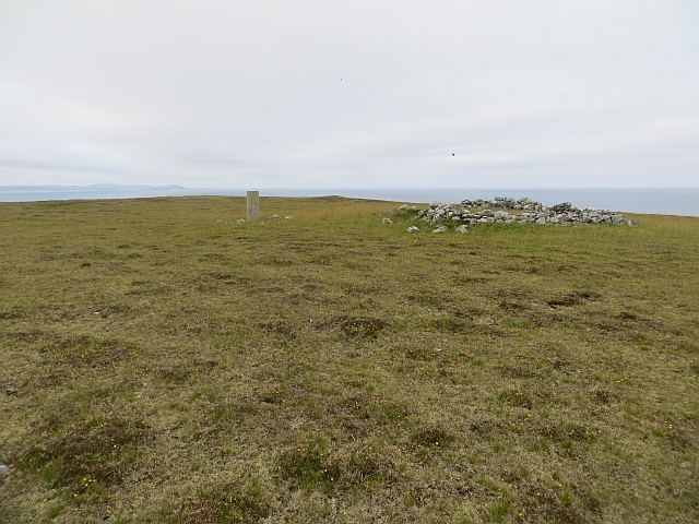
Geo of Beespund is a prominent coastal feature located in the picturesque region of Shetland, Scotland. It is specifically classified as a headland, which is a narrow strip of land that extends out into the sea. As a point of interest, it is often referred to as Beespund Point.
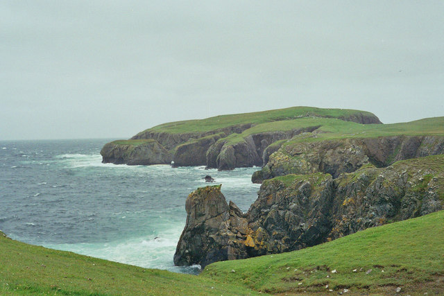
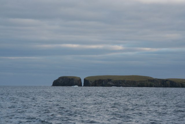
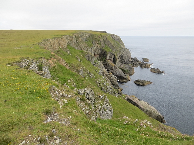
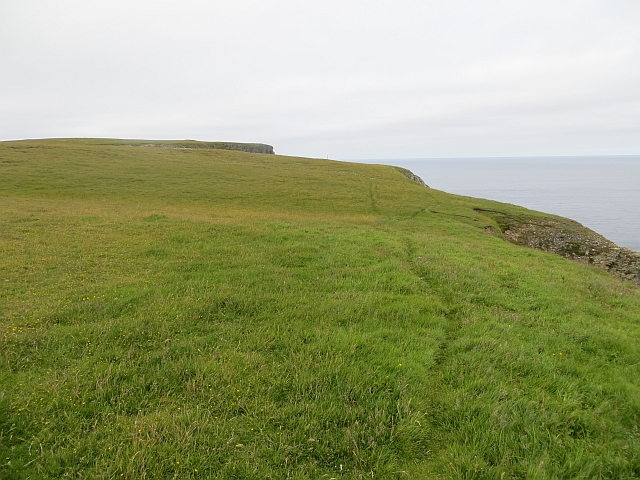
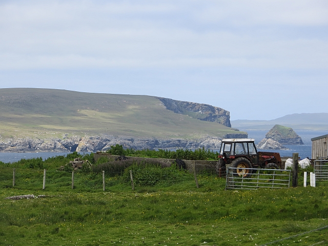
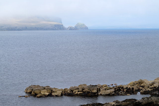
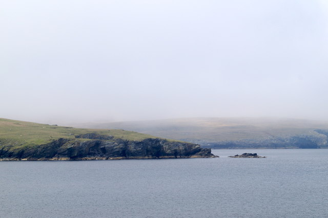
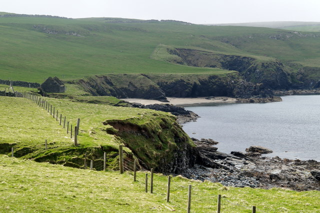
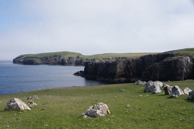
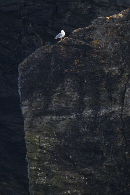
Situated on the eastern coast of Shetland, Geo of Beespund boasts breathtaking views of the North Sea. It is characterized by its steep cliffs, which rise dramatically from the surrounding rocky shoreline. The cliffs are composed of sedimentary rocks, displaying a range of colors including shades of grey, brown, and red.
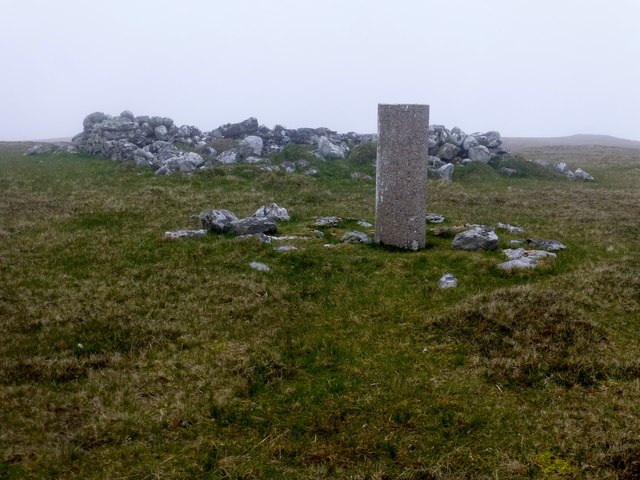
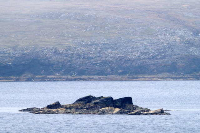
The headland itself is approximately 200 meters in length and juts out into the sea, forming a natural barrier between the land and the open water. It is an ideal location for birdwatching enthusiasts, as the cliffs provide nesting grounds for various seabirds such as puffins, guillemots, and fulmars. The area is also known to attract seals, which can often be spotted lounging on rocks or swimming in the surrounding waters.
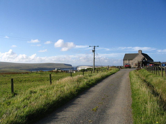
Access to Geo of Beespund is limited due to its remote location, and it is recommended to visit with caution as the cliffs can be unstable in certain areas. However, for those who are able to experience its beauty firsthand, the headland offers a unique opportunity to witness the raw power of nature and marvel at the stunning coastal landscapes that Shetland has to offer.
If you have any feedback on the listing, please let us know in the comments section below.
Geo of Beespund Images
Images are sourced within 2km of 60.612629/-0.78242106 or Grid Reference HU6692. Thanks to Geograph Open Source API. All images are credited.
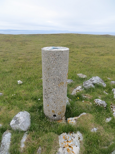

Geo of Beespund is located at Grid Ref: HU6692 (Lat: 60.612629, Lng: -0.78242106)
Unitary Authority: Shetland Islands
Police Authority: Highlands and Islands
What 3 Words
///scrubber.paddock.offer. Near Houbie, Shetland Islands
Nearby Locations
Related Wikis

Haltadans
Haltadans, also known as Fairy Ring or Haltadans stone circle, is a stone circle on the island of Fetlar in Shetland, Scotland. This site is a ring of...

Funzie Girt
Funzie Girt (; Scots: Funyie Girt "Finns' dyke") is an ancient dividing wall that was erected from north to south across the island of Fetlar in Shetland...

Fetlar
Fetlar (Scots: Fetlar) is one of the North Isles of Shetland, Scotland, with a usually resident population of 61 at the time of the 2011 census. Its main...

Haaf Gruney
Haaf Gruney is a small island in the north east of the Shetland Islands. == Geography and geology == The island is between Unst and Fetlar which are to...

Urie Lingey
For other islands with similar names, see Linga (disambiguation) Urie Lingey is one of the Shetland Islands. It is between Fetlar and Unst, and Yell is...

Hamars Ness
Hamars Ness is a headland on the island of Fetlar in Shetland, Scotland. The name is from the Old Norse Hamarsnes meaning "craggy headland". A ro-ro ferry...

Brough Lodge
Brough Lodge is a 19th-century Gothic mansion on Fetlar, one of the Shetland Islands, in northern Scotland. Built by the Nicolson family, who were responsible...

Uyea, Unst
Uyea (Scots: Uyea) is an uninhabited island, lying south of Unst in Shetland, Scotland. == History == The island was inhabited as early as the Bronze Age...
Have you been to Geo of Beespund?
Leave your review of Geo of Beespund below (or comments, questions and feedback).