Gillor Stack
Island in Shetland
Scotland
Gillor Stack

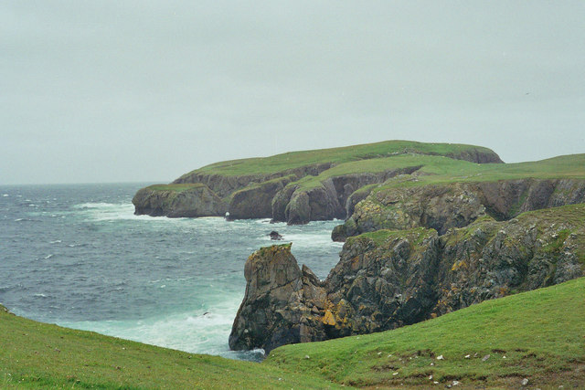
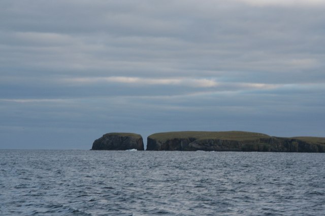
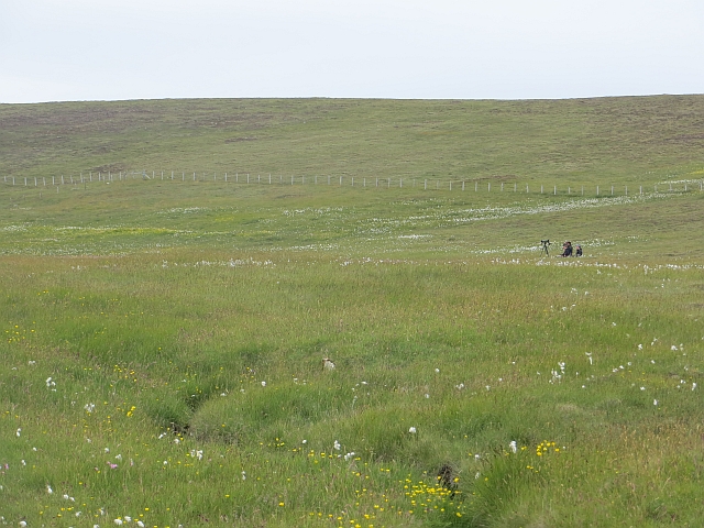
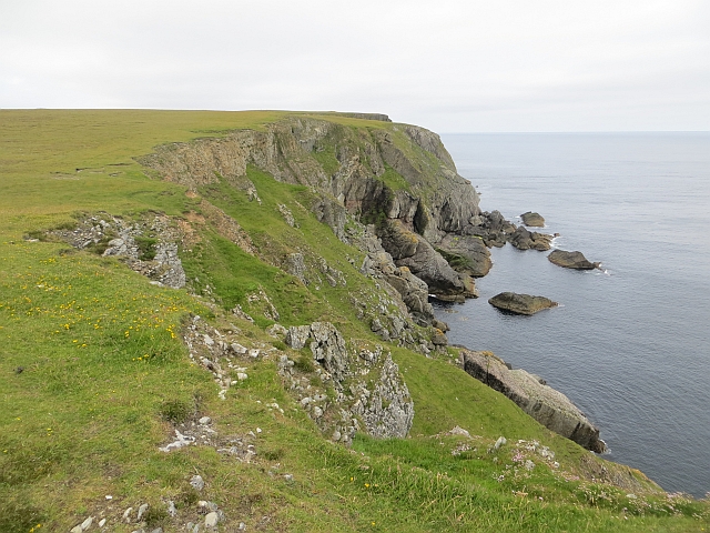
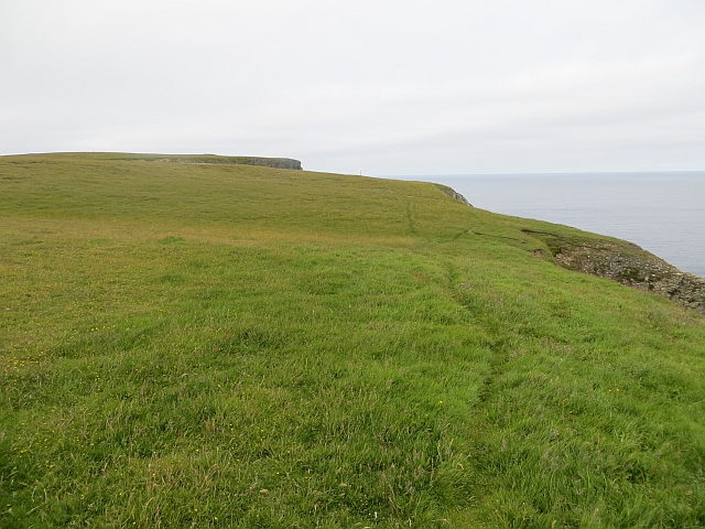
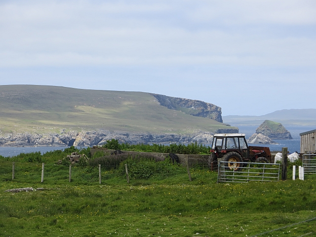
Gillor Stack is a prominent sea stack located on the coast of the Shetland Islands in Scotland. It is situated on the east side of the island of Vaila, which is part of the Shetland archipelago. The stack stands tall at approximately 100 feet (30 meters) and is made up of rugged, vertical cliffs.
This geological formation is a result of erosion by the relentless forces of the North Atlantic Ocean. Over millions of years, the waves have carved away the softer rock surrounding the stack, leaving behind this isolated pillar of rock. Gillor Stack is composed of hard, resistant rock layers, which have managed to withstand the erosive power of the sea.
The stack is a popular attraction for nature enthusiasts and photographers due to its dramatic and picturesque appearance. Its isolated location and the surrounding wild beauty of the Shetland Islands make it a unique spot for birdwatching as well. Various seabird species such as puffins, guillemots, and razorbills can often be spotted nesting on the cliffs.
Access to Gillor Stack can be challenging, as it involves navigating through rough terrain and potentially dangerous cliff edges. However, the effort is often rewarded with breathtaking views of the stack and the surrounding coastal landscape.
Overall, Gillor Stack is an awe-inspiring natural landmark in the Shetland Islands, attracting visitors with its rugged beauty and wildlife-rich surroundings.
If you have any feedback on the listing, please let us know in the comments section below.
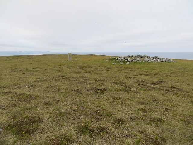
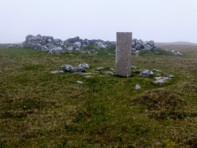
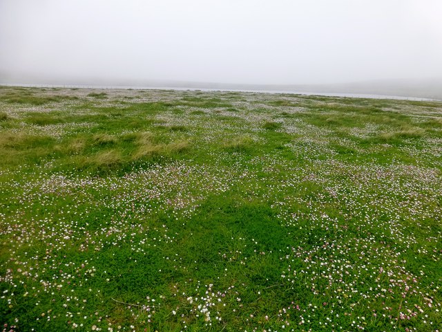
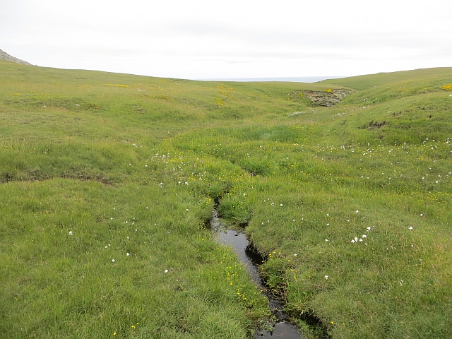
Gillor Stack Images
Images are sourced within 2km of 60.607308/-0.79478638 or Grid Reference HU6692. Thanks to Geograph Open Source API. All images are credited.


Gillor Stack is located at Grid Ref: HU6692 (Lat: 60.607308, Lng: -0.79478638)
Unitary Authority: Shetland Islands
Police Authority: Highlands and Islands
What 3 Words
///fractions.motive.fluid. Near Houbie, Shetland Islands
Nearby Locations
Related Wikis

Haltadans
Haltadans, also known as Fairy Ring or Haltadans stone circle, is a stone circle on the island of Fetlar in Shetland, Scotland. This site is a ring of...

Fetlar
Fetlar (Scots: Fetlar) is one of the North Isles of Shetland, Scotland, with a usually resident population of 61 at the time of the 2011 census. Its main...

Funzie Girt
Funzie Girt (; Scots: Funyie Girt "Finns' dyke") is an ancient dividing wall that was erected from north to south across the island of Fetlar in Shetland...

Haaf Gruney
Haaf Gruney is a small island in the north east of the Shetland Islands. == Geography and geology == The island is between Unst and Fetlar which are to...

Urie Lingey
For other islands with similar names, see Linga (disambiguation) Urie Lingey is one of the Shetland Islands. It is between Fetlar and Unst, and Yell is...

Brough Lodge
Brough Lodge is a 19th-century Gothic mansion on Fetlar, one of the Shetland Islands, in northern Scotland. Built by the Nicolson family, who were responsible...

Hamars Ness
Hamars Ness is a headland on the island of Fetlar in Shetland, Scotland. The name is from the Old Norse Hamarsnes meaning "craggy headland". A ro-ro ferry...

Uyea, Unst
Uyea (Scots: Uyea) is an uninhabited island, lying south of Unst in Shetland, Scotland. == History == The island was inhabited as early as the Bronze Age...
Nearby Amenities
Located within 500m of 60.607308,-0.79478638Have you been to Gillor Stack?
Leave your review of Gillor Stack below (or comments, questions and feedback).