Geo of Garths-dyke-end

Coastal Feature, Headland, Point in Shetland

Scotland

Geo of Garths-dyke-end

It must be somewhere tropical: Norwick Blue skies, azure seas, palm trees, exotic birds, passing cruise liners? It must be somewhere tropical? But it's actually a migrant Bee-eater on Unst in Shetland with the Faroe ferry Norrona passing in the background.
It must be somewhere tropical: Norwick Credit: Mike Pennington

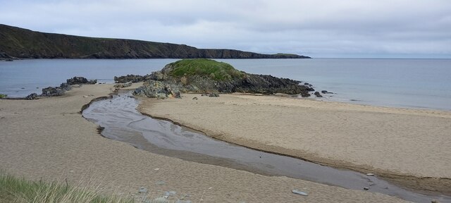
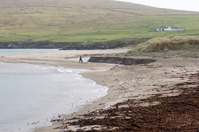
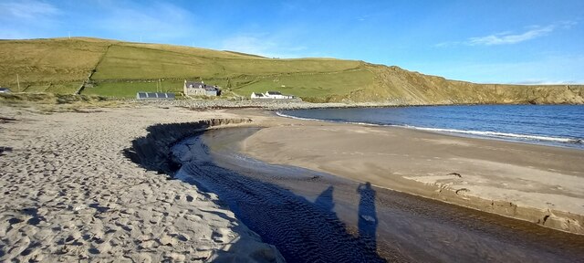
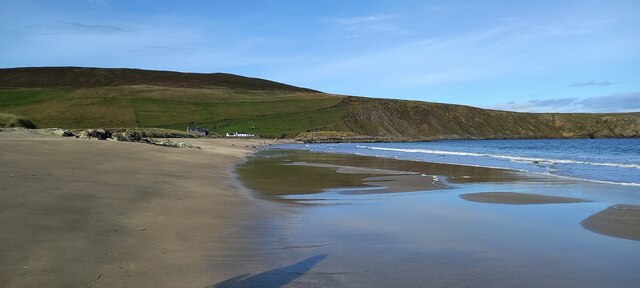
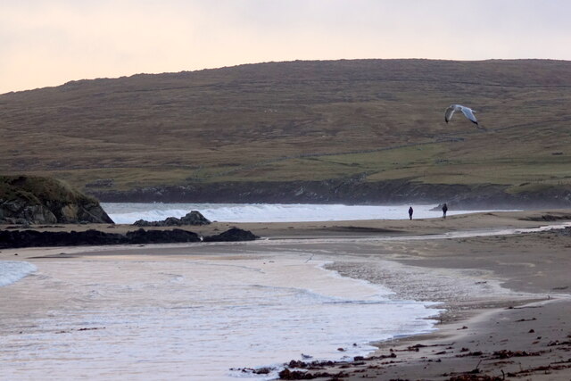
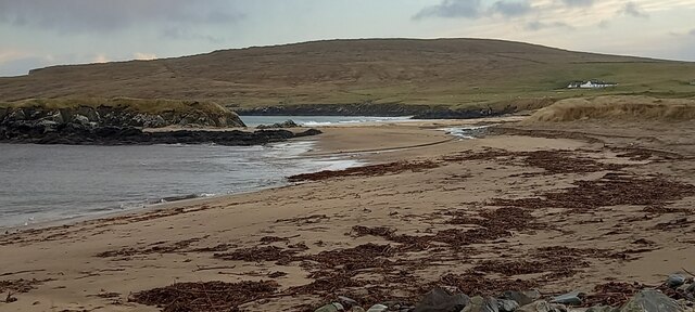
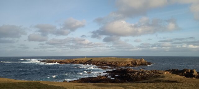
Geo of Garths-dyke-end is a prominent coastal feature located in Shetland, Scotland. It is a captivating headland that stretches out into the sea, forming a distinct point along the rugged coastline. The word "geo" is a local term used in Shetland to describe narrow inlets or coves, often created by the eroding force of the sea.

Situated on the northern coast of Shetland, Geo of Garths-dyke-end offers breathtaking views of the North Atlantic Ocean. The headland is known for its dramatic cliffs that rise steeply from the water, reaching heights of up to 100 feet. These cliffs are composed of ancient sedimentary rocks, displaying layers of sandstone and shale, which have been shaped by centuries of erosion.

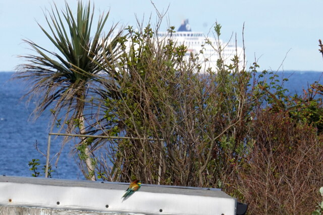
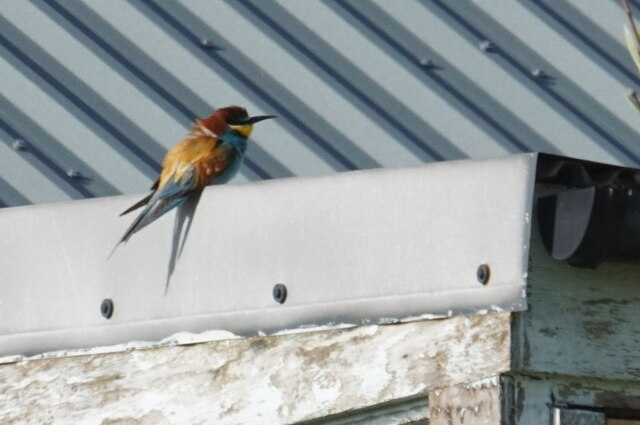
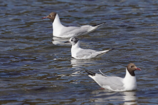
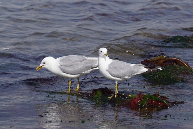
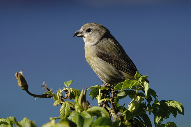
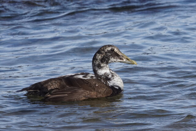
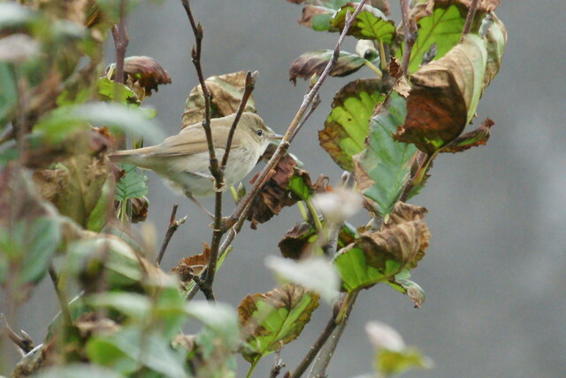
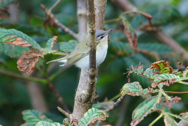
The rugged terrain surrounding the geo is home to a diverse range of wildlife, including seabirds such as puffins, gannets, and kittiwakes. Visitors to the area often have the opportunity to observe these majestic creatures nesting and soaring above the crashing waves.

Access to Geo of Garths-dyke-end is relatively easy, with a well-maintained footpath leading from the nearby village of Garths-dyke-end. The path offers stunning panoramic views of the surrounding coastline and provides ample opportunities for photographers and nature enthusiasts.

Due to its unique geological features and rich biodiversity, Geo of Garths-dyke-end is a popular destination for tourists seeking to explore the natural wonders of Shetland. Its awe-inspiring cliffs, abundant wildlife, and picturesque surroundings make it a must-visit location for anyone traveling to this remote and beautiful part of Scotland.

If you have any feedback on the listing, please let us know in the comments section below.

Geo of Garths-dyke-end Images

Images are sourced within 2km of 60.814786/-0.77770983 or Grid Reference HP6615. Thanks to Geograph Open Source API. All images are credited.

It must be somewhere tropical: Norwick Blue skies, azure seas, palm trees, exotic birds, passing cruise liners? It must be somewhere tropical? But it's actually a migrant Bee-eater on Unst in Shetland with the Faroe ferry Norrona passing in the background.
It must be somewhere tropical: Norwick
Blue skies, azure seas, palm trees, exotic birds, passing cruise liners? It must be somewhere tropical? But it's actually a migrant Bee-eater on Unst in Shetland with the Faroe ferry Norrona passing in the background.
European Bee-eater (Merops apiaster), Norwick A rare bird this far north, this was the fifth seen on Unst.
European Bee-eater (Merops apiaster), Norwick
A rare bird this far north, this was the fifth seen on Unst.
Bonaparte's Gull (Chroicocephalus philadelphia) and Black-headed Gulls (Chroicocephalus ridibundus), Norwick Bonaparte's Gull is a rare visitor from America, here visiting its transatlantic cousins.
Bonaparte's Gull (Chroicocephalus philadelphia) and Black-headed Gulls (Chroicocephalus ridibundus), Norwick
Bonaparte's Gull is a rare visitor from America, here visiting its transatlantic cousins.
Common Gulls (Larus canus), Baltasound
Burn of Norwick on Norwick beach
Common Crossbill (Loxia curvirostra), Norwick
First-summer male Common Eider (Somateria mollissima), Wick of Skaw
The ever-changing profile of Norwick beach The burn now flows well north of the Taing again.
The ever-changing profile of Norwick beach
The burn now flows well north of the Taing again.
Burn of Norwick on Norwick beach This is about as far north as the burn has ever flowed in at least 30 years.
Burn of Norwick on Norwick beach
This is about as far north as the burn has ever flowed in at least 30 years.
Norwick beach
Norwick beach
Blyth's Reed Warbler (Acrocephalus dumetorum), Norwick A subtly different species, once very rare in Britain, now an annual scarce migrant in Shetland.
Blyth's Reed Warbler (Acrocephalus dumetorum), Norwick
A subtly different species, once very rare in Britain, now an annual scarce migrant in Shetland.
Red-eyed Vireo (Vireo olivaceous), Norwick A very rare visitor from North America. This was the first one ever seen in Shetland.
Red-eyed Vireo (Vireo olivaceous), Norwick
A very rare visitor from North America. This was the first one ever seen in Shetland.
Red-rumped Swallow (Cecropis daurica), Skaw A scarce migrant from the Mediterranean.
Red-rumped Swallow (Cecropis daurica), Skaw
A scarce migrant from the Mediterranean.
Black-headed Bunting (Emberiza melanocephala), Norwick Normally found in SE Europe, but occasionally found in Britain.
Black-headed Bunting (Emberiza melanocephala), Norwick
Normally found in SE Europe, but occasionally found in Britain.
North end of Norwick beach
Britain's most northerly graffiti, Skaw The tag appears to be 'Dias'.
Britain's most northerly graffiti, Skaw
The tag appears to be 'Dias'.
Holm of Skaw
Holm of Skaw
Show me another place!

Geo of Garths-dyke-end is located at Grid Ref: HP6615 (Lat: 60.814786, Lng: -0.77770983)

Unitary Authority: Shetland Islands

Police Authority: Highlands and Islands

What 3 Words

///unfit.grudges.bleaker. Near Haroldswick, Shetland Islands

Related Wikis

SaxaVord Spaceport

SaxaVord Spaceport, previously known as Shetland Space Centre, is a planned spaceport to be located on the Lamba Ness peninsula on Unst, the most northerly...

Skaw, Unst

Skaw is a settlement in the Scottish archipelago of Shetland, located on the island of Unst. It is located north of Haroldswick on a peninsula in the northeast...

Holm of Skaw

The Holm of Skaw is a small islet off the northeast coast of the island of Unst. It is just northeast of the settlement of Skaw. The island is 57 feet...

Saxa Vord distillery

Saxa Vord distillery is a Scotch whisky and gin distillery on the island of Unst, part of the Shetland islands. The distillery takes its name from its...

Valhalla Brewery

The Valhalla Brewery in Unst, Shetland, Scotland, was the northernmost brewery in the United Kingdom. It was opened by the husband and wife team Sonny...

RAF Saxa Vord

Remote Radar Head Saxa Vord or RRH Saxa Vord (aka RAF Saxa Vord), is a Royal Air Force radar station located on the island of Unst, the most northern of...

Haroldswick

Haroldswick or Harold's Wick (Old Norse: Haraldsvík, 'Harald's bay'), is on Unst, Shetland Islands, Scotland, and is one of the most northerly settlements...

Burrafirth

Burrafirth links (Old Norse: Borgarfjorðr, meaning "the fjord with a castle") is a strip of land with a few houses on the island of Unst, Shetland, Scotland...

Nearby Amenities

Located within 500m of 60.814786,-0.77770983
Power: pole
Lat/Long: 60.8162993/-0.7854899
Power: pole
Lat/Long: 60.816366/-0.7841086
Power: pole
Lat/Long: 60.816434/-0.7827299
The Garths
Place: locality
Source: OS
Lat/Long: 60.8170603/-0.7735372
Man Made: tower
Tower Type: launch_tower
Lat/Long: 60.8188025/-0.7742844
The data included in this document is from www.openstreetmap.org. The data is made available under ODbL.

Have you been to Geo of Garths-dyke-end?

Leave your review of Geo of Garths-dyke-end below (or comments, questions and feedback).