The Meent
Cliff, Slope in Shetland
Scotland
The Meent
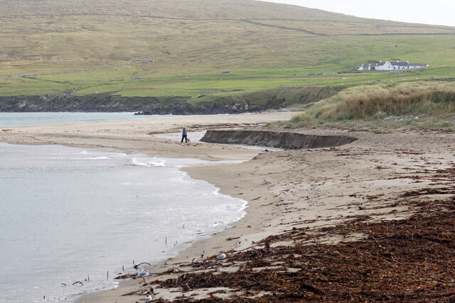
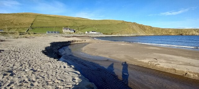
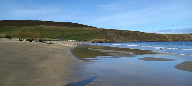
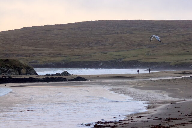
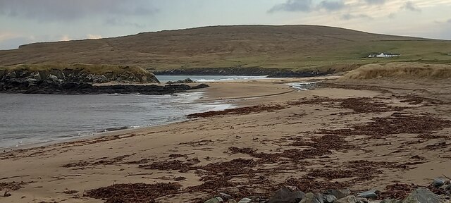
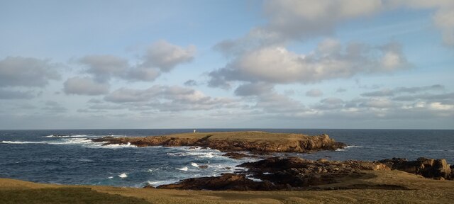
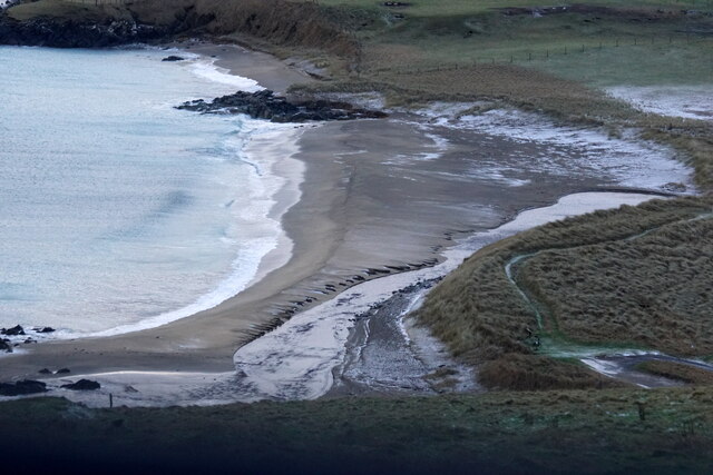
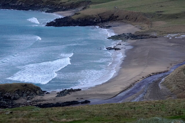
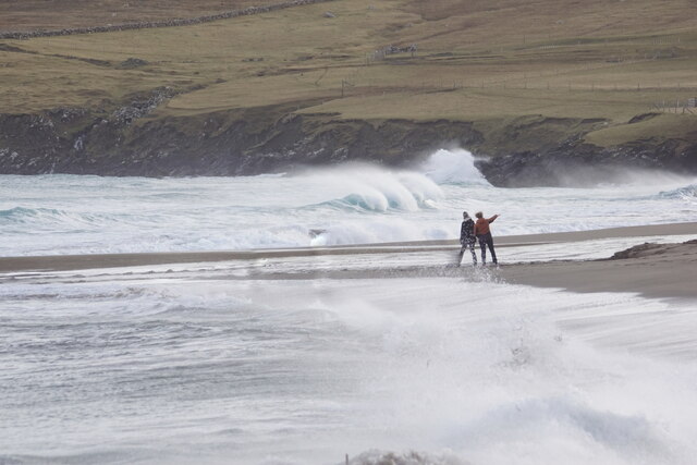
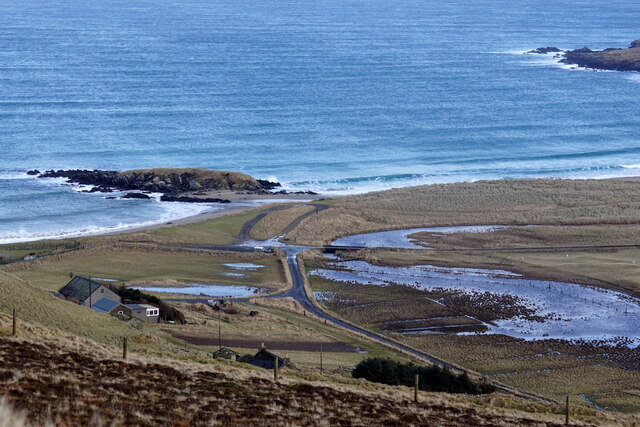
The Meent, located in the Shetland Islands, is a prominent cliff and slope formation that stretches along the coastline. Rising dramatically from the North Sea, it offers breathtaking views and a unique geological landscape.
The cliff, with its rugged and imposing appearance, stands at an impressive height, ranging from 50 to 100 meters above sea level. It is composed of layers of sedimentary rock, primarily sandstone, interspersed with occasional veins of basalt. These rock formations have been shaped over millions of years by the powerful forces of erosion, resulting in the distinctive shape and character of The Meent.
The Meent also features a steep slope that extends from the cliff down towards the shoreline. This slope is covered in a variety of vegetation, including hardy grasses, mosses, and low-growing shrubs that have adapted to the harsh coastal conditions. The combination of the cliff and slope creates a visually striking contrast between the rugged rock face and the softer, more gentle incline.
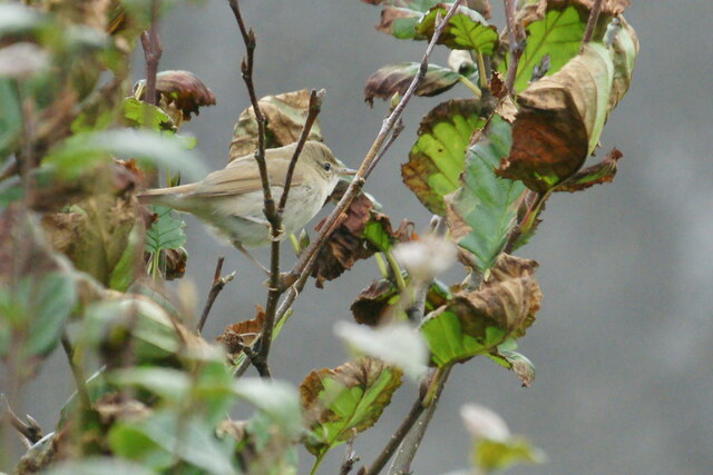
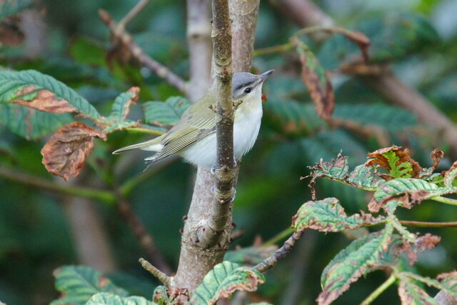
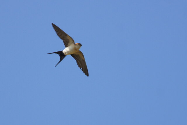
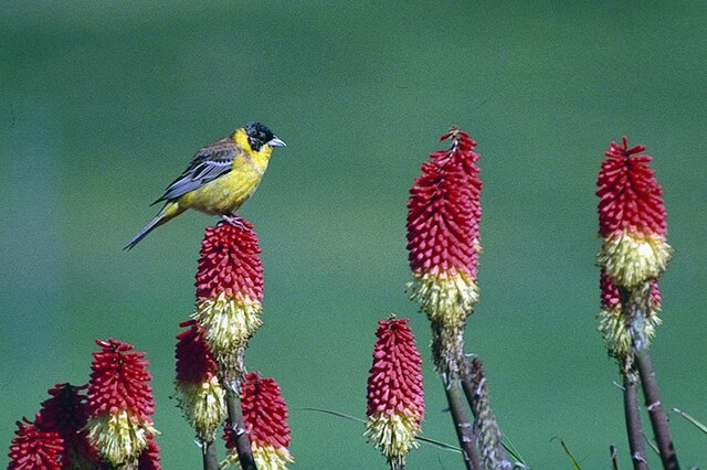
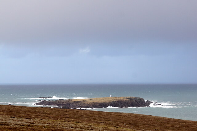
The area surrounding The Meent is home to a diverse range of wildlife, including seabirds, such as puffins and kittiwakes, which nest in the cliffs. The sea below the cliff is often teeming with marine life, and it is not uncommon to spot seals, dolphins, and even whales in the waters.
The Meent is a popular destination for outdoor enthusiasts, offering opportunities for hiking, birdwatching, and photography. Its dramatic beauty and unique geological features make it a must-visit location for nature lovers and those seeking to explore the natural wonders of the Shetland Islands.
If you have any feedback on the listing, please let us know in the comments section below.
The Meent Images
Images are sourced within 2km of 60.814556/-0.77808628 or Grid Reference HP6615. Thanks to Geograph Open Source API. All images are credited.
The Meent is located at Grid Ref: HP6615 (Lat: 60.814556, Lng: -0.77808628)
Unitary Authority: Shetland Islands
Police Authority: Highlands and Islands
What 3 Words
///musically.footsteps.blacked. Near Haroldswick, Shetland Islands
Nearby Locations
Related Wikis

SaxaVord Spaceport
SaxaVord Spaceport, previously known as Shetland Space Centre, is a planned spaceport to be located on the Lamba Ness peninsula on Unst, the most northerly...

Skaw, Unst
Skaw is a settlement in the Scottish archipelago of Shetland, located on the island of Unst. It is located north of Haroldswick on a peninsula in the northeast...

Holm of Skaw
The Holm of Skaw is a small islet off the northeast coast of the island of Unst. It is just northeast of the settlement of Skaw. The island is 57 feet...

Saxa Vord distillery
Saxa Vord distillery is a Scotch whisky and gin distillery on the island of Unst, part of the Shetland islands. The distillery takes its name from its...
Nearby Amenities
Located within 500m of 60.814556,-0.77808628Have you been to The Meent?
Leave your review of The Meent below (or comments, questions and feedback).