Nousta Geo
Coastal Feature, Headland, Point in Shetland
Scotland
Nousta Geo
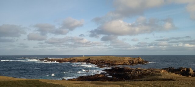
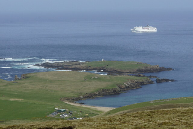
Nousta Geo is a prominent coastal feature located in the Shetland Islands, which is an archipelago off the northeastern coast of Scotland. It is specifically situated on the main island of Shetland, known as Mainland. Nousta Geo is classified as a headland, also referred to as a point, due to its prominent position on the coastline.
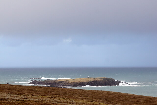
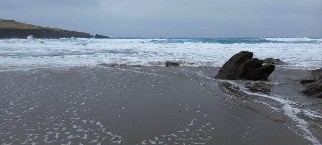
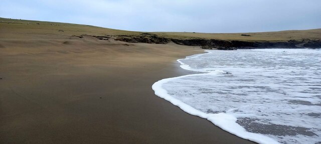
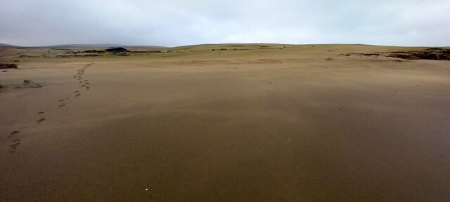
This coastal feature is characterized by its rugged and steep cliffs that rise dramatically from the surrounding sea. The cliffs are composed of sedimentary rocks, primarily sandstone and shale, which have been shaped and eroded by the relentless action of the North Sea over millions of years.
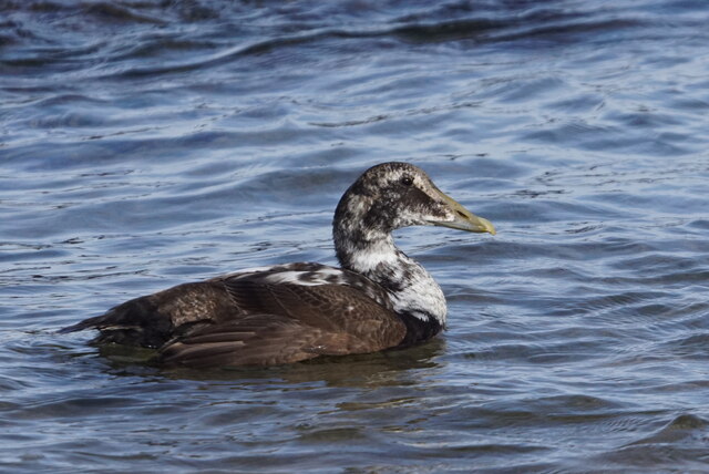
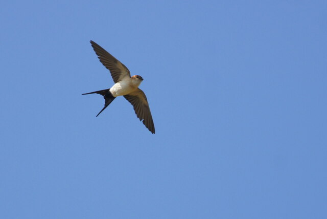
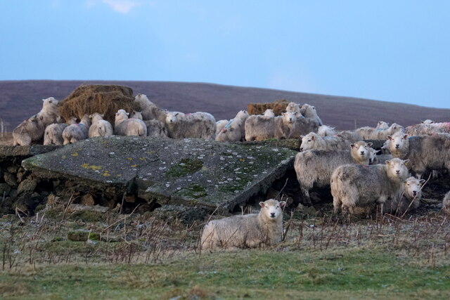
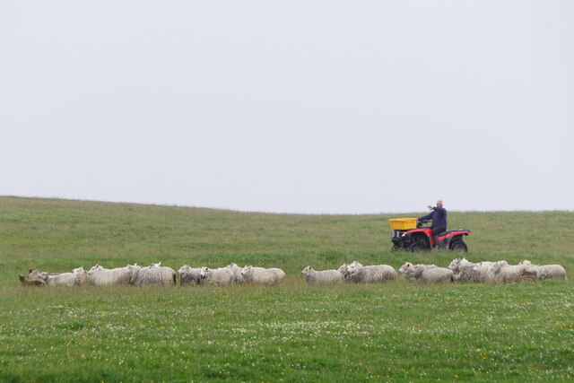
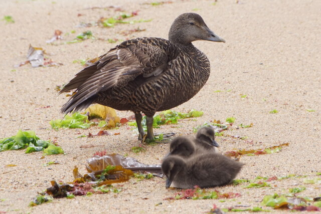
Nousta Geo offers stunning views of the surrounding landscape, including panoramic vistas of the North Sea and the nearby coastline. The area is rich in wildlife, providing a habitat for various seabirds such as puffins, guillemots, and razorbills. It is also a popular spot for birdwatching enthusiasts.
Due to its exposed location, Nousta Geo is subject to the forces of erosion, as the crashing waves gradually wear away the cliffs. This ongoing process has resulted in the formation of sea caves and natural arches along the coastline, adding to the area's scenic beauty.
Visitors to Nousta Geo can enjoy coastal walks along the cliff tops, taking in the breathtaking scenery and observing the diverse marine life. It is essential to exercise caution while exploring the area, as the cliffs can be unstable, and the strong tidal currents can be dangerous.
In conclusion, Nousta Geo is a captivating headland on the Shetland Islands, offering awe-inspiring views, rich wildlife, and geological marvels shaped by the forces of nature.
If you have any feedback on the listing, please let us know in the comments section below.
Nousta Geo Images
Images are sourced within 2km of 60.820366/-0.77028928 or Grid Reference HP6615. Thanks to Geograph Open Source API. All images are credited.

Nousta Geo is located at Grid Ref: HP6615 (Lat: 60.820366, Lng: -0.77028928)
Unitary Authority: Shetland Islands
Police Authority: Highlands and Islands
What 3 Words
///standards.ordinary.carry. Near Haroldswick, Shetland Islands
Nearby Locations
Related Wikis

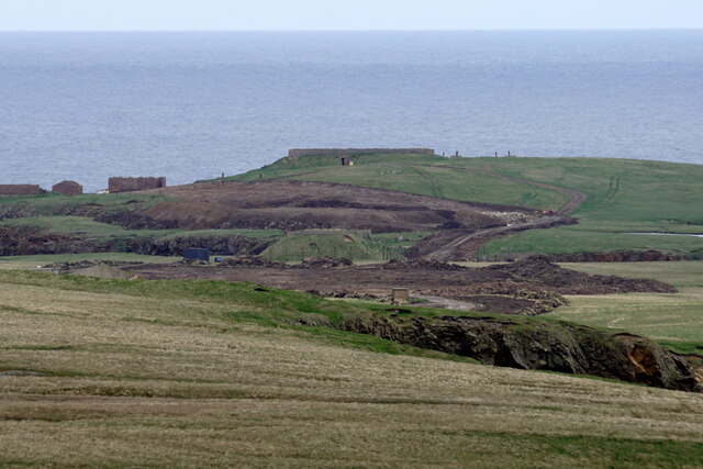
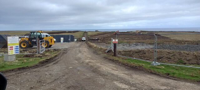
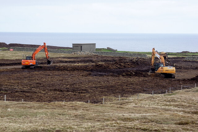
SaxaVord Spaceport
SaxaVord Spaceport, previously known as Shetland Space Centre, is a planned spaceport to be located on the Lamba Ness peninsula on Unst, the most northerly...

Skaw, Unst
Skaw is a settlement in the Scottish archipelago of Shetland, located on the island of Unst. It is located north of Haroldswick on a peninsula in the northeast...

Holm of Skaw
The Holm of Skaw is a small islet off the northeast coast of the island of Unst. It is just northeast of the settlement of Skaw. The island is 57 feet...

Saxa Vord distillery
Saxa Vord distillery is a Scotch whisky and gin distillery on the island of Unst, part of the Shetland islands. The distillery takes its name from its...

Valhalla Brewery
The Valhalla Brewery in Unst, Shetland, Scotland, was the northernmost brewery in the United Kingdom. It was opened by the husband and wife team Sonny...

RAF Saxa Vord
Remote Radar Head Saxa Vord or RRH Saxa Vord (aka RAF Saxa Vord), is a Royal Air Force radar station located on the island of Unst, the most northern of...

Haroldswick
Haroldswick or Harold's Wick (Old Norse: Haraldsvík, 'Harald's bay'), is on Unst, Shetland Islands, Scotland, and is one of the most northerly settlements...

Burrafirth
Burrafirth links (Old Norse: Borgarfjorðr, meaning "the fjord with a castle") is a strip of land with a few houses on the island of Unst, Shetland, Scotland...
Nearby Amenities
Located within 500m of 60.820366,-0.77028928Have you been to Nousta Geo?
Leave your review of Nousta Geo below (or comments, questions and feedback).