Mett Houll
Coastal Feature, Headland, Point in Shetland
Scotland
Mett Houll

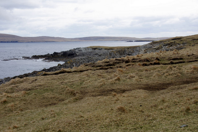
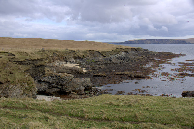
Mett Houll is a prominent coastal feature located in Shetland, Scotland. It is classified as a headland or point due to its geographical characteristics. This coastal formation is situated on the western coast of the Shetland Mainland, a large island in the Shetland archipelago.
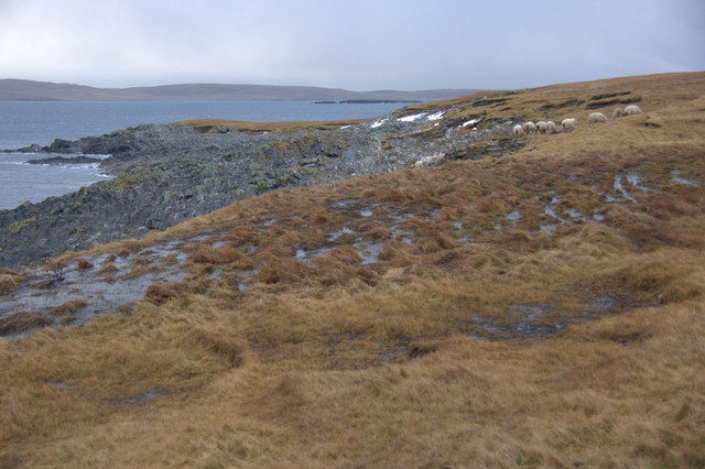
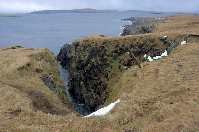
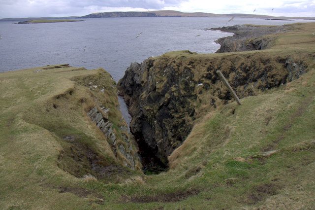
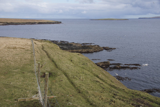
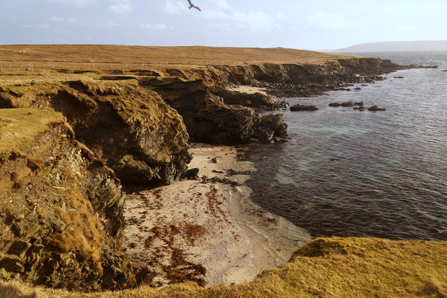
Mett Houll is characterized by its rugged and rocky terrain, with steep cliffs that rise dramatically from the sea. These cliffs provide a stunning backdrop and offer breathtaking views of the surrounding coastline and the North Atlantic Ocean. The headland is known for its exposed and windswept nature, which adds to its charm and allure.
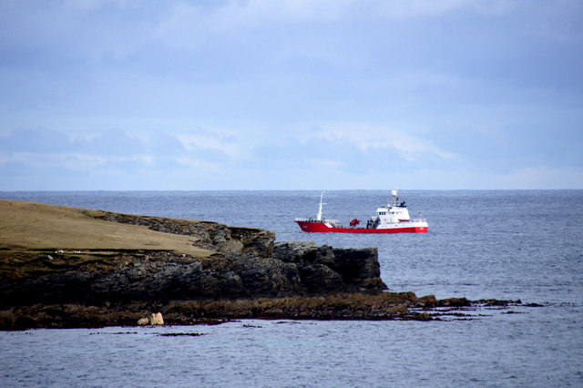
The coastal area surrounding Mett Houll is rich in wildlife and natural beauty. The waters off the headland are home to a variety of marine life, including seals, dolphins, and a wide range of seabirds. Visitors to the area can often spot these creatures while enjoying walks along the coastal paths.
Mett Houll also holds historical significance, as it was once a strategic location for defensive purposes. Ruins of an ancient fort, known as a broch, can still be seen on the headland. These remains provide a glimpse into the area's past and serve as a reminder of its cultural heritage.
In summary, Mett Houll is a stunning coastal feature in Shetland, characterized by its rugged cliffs, breathtaking views, and rich wildlife. It offers visitors a chance to experience the beauty of Scotland's western coast and explore its historical significance.
If you have any feedback on the listing, please let us know in the comments section below.
Mett Houll Images
Images are sourced within 2km of 60.683378/-0.83831869 or Grid Reference HP6300. Thanks to Geograph Open Source API. All images are credited.


Mett Houll is located at Grid Ref: HP6300 (Lat: 60.683378, Lng: -0.83831869)
Unitary Authority: Shetland Islands
Police Authority: Highlands and Islands
What 3 Words
///hypnotist.freedom.hairstyle. Near Uyeasound, Shetland Islands
Nearby Locations
Related Wikis

Muness Castle
Muness Castle is located on Unst, which is one of the Shetland Islands of Scotland. The castle is 3 kilometres (1.9 mi) east of the village of Uyeasound...

Haaf Gruney
Haaf Gruney is a small island in the north east of the Shetland Islands. == Geography and geology == The island is between Unst and Fetlar which are to...

Mailand, Shetland
Mailand is a hamlet in the Shetland Islands. It is on the island of Unst, the northernmost of the inhabited British Isles, near its southern coast. �...

Clivocast
Clivocast is a settlement on the island of Unst in the Shetland Islands, Scotland at 60.67°N 00.90°W / 60.67; -00.90 or grid reference HP6000 and is situated...
Uyea, Unst
Uyea (Scots: Uyea) is an uninhabited island, lying south of Unst in Shetland, Scotland. == History == The island was inhabited as early as the Bronze Age...

Uyeasound
Uyeasound is a village on the Isle of Unst, the northernmost island of the Shetland Islands, Scotland. It takes its name from the neighbouring strait of...

Huney
Huney is an uninhabited island due east of the island of Unst in the Shetland Islands, Scotland. The island is located approximately 1 kilometre south...

Sound Gruney
For other islands with similar names, see Gruney (disambiguation) Sound Gruney is one of the Shetland islands. It lies about 1.5 kilometres (0.93 mi)...
Have you been to Mett Houll?
Leave your review of Mett Houll below (or comments, questions and feedback).