Muckle Funziegord Geo
Coastal Feature, Headland, Point in Shetland
Scotland
Muckle Funziegord Geo
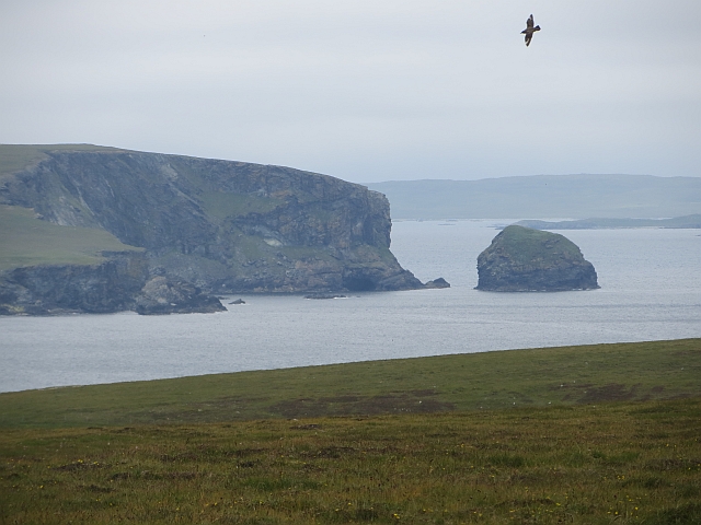
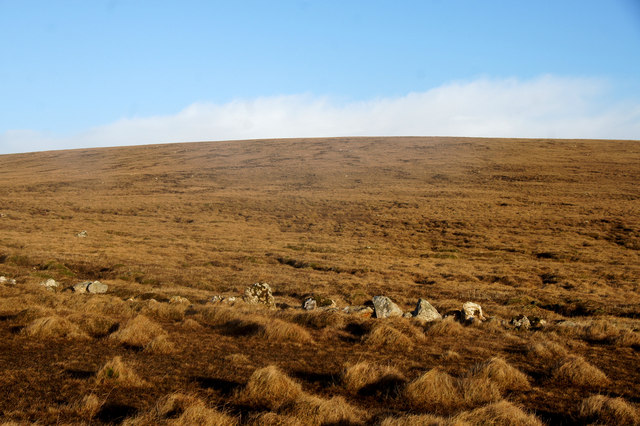
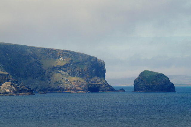
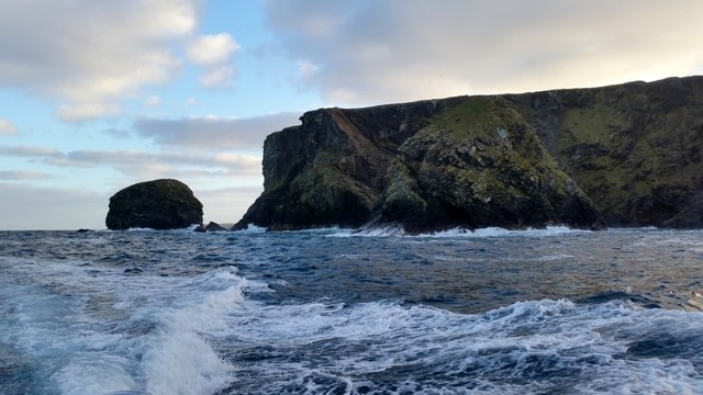
Muckle Funziegord Geo is a prominent coastal feature located in the Shetland Islands, an archipelago in Scotland. It is situated on the west side of the island of Fetlar, one of the northernmost inhabited islands in the United Kingdom. Muckle Funziegord Geo is specifically classified as a headland or point, as it extends out into the surrounding sea, forming a distinctive and rugged coastal landscape.
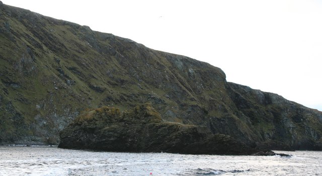
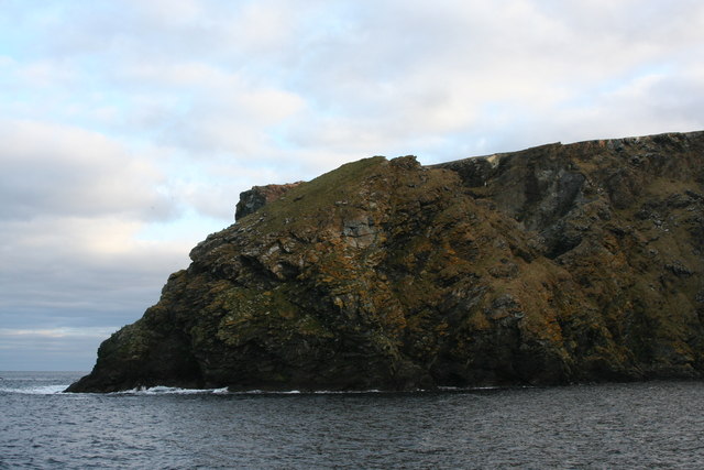
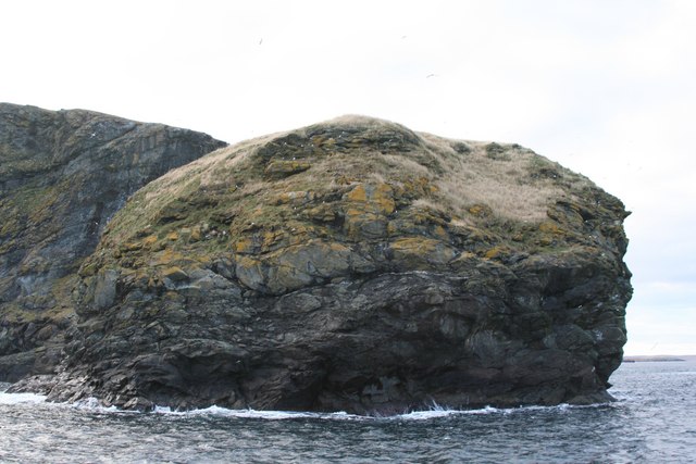
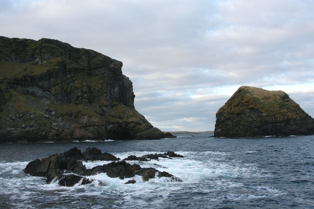
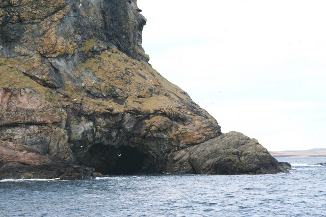
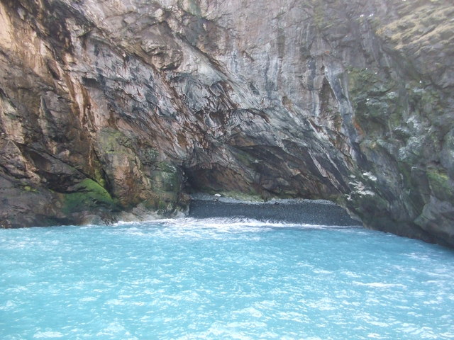
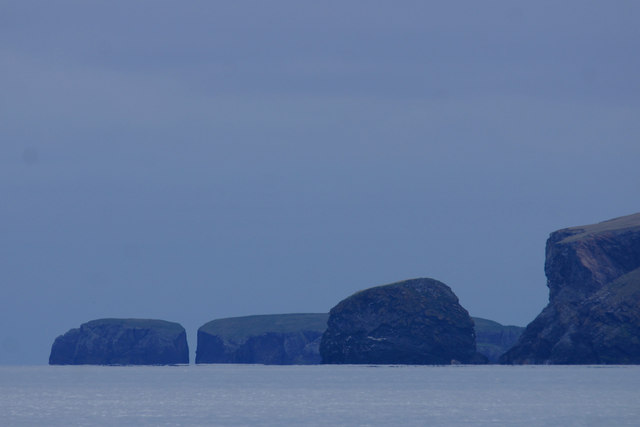
The geo is characterized by steep cliffs that rise dramatically from the sea, reaching heights of approximately 100 meters (330 feet) at their highest points. These cliffs are composed of layered sedimentary rocks, showcasing unique geological formations that have been shaped by centuries of erosion from the relentless pounding of the North Atlantic Ocean.
Muckle Funziegord Geo offers stunning panoramic views of the surrounding coastline, with its rugged cliffs and clear blue waters providing a picturesque backdrop. The area is also known for its diverse wildlife, including various seabirds such as puffins, guillemots, and fulmars that nest on the cliffs, as well as seals and otters that can often be spotted in the waters below.
Due to its remote location and challenging terrain, access to Muckle Funziegord Geo is limited and requires careful navigation. However, for adventurous hikers and nature enthusiasts, it offers a unique opportunity to experience the raw beauty of Shetland's coastal landscape and observe its rich biodiversity up close.
If you have any feedback on the listing, please let us know in the comments section below.
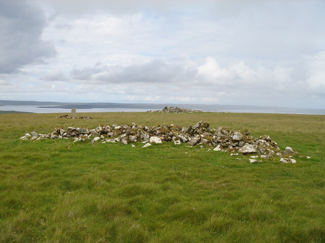
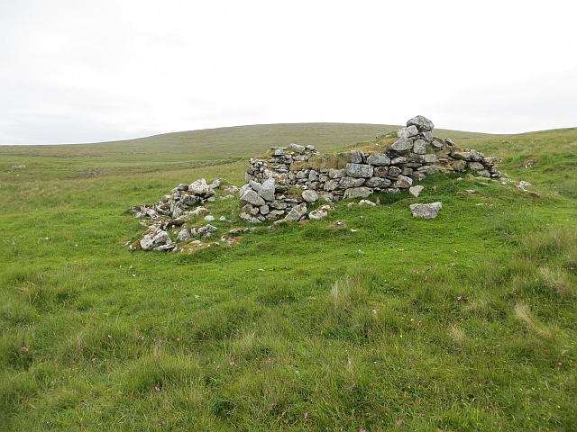
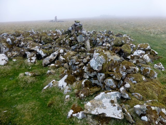
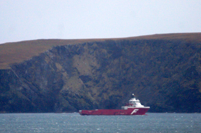
Muckle Funziegord Geo Images
Images are sourced within 2km of 60.629626/-0.85664786 or Grid Reference HU6294. Thanks to Geograph Open Source API. All images are credited.
Muckle Funziegord Geo is located at Grid Ref: HU6294 (Lat: 60.629626, Lng: -0.85664786)
Unitary Authority: Shetland Islands
Police Authority: Highlands and Islands
What 3 Words
///daytime.defaults.rejects. Near Houbie, Shetland Islands
Related Wikis

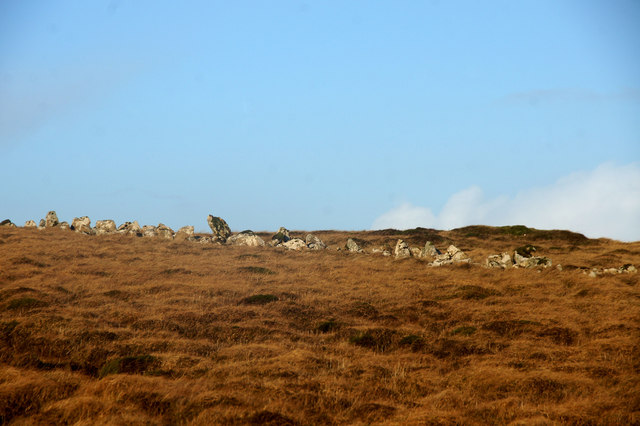
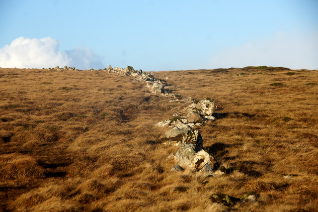
Funzie Girt
Funzie Girt (; Scots: Funyie Girt "Finns' dyke") is an ancient dividing wall that was erected from north to south across the island of Fetlar in Shetland...

Haltadans
Haltadans, also known as Fairy Ring or Haltadans stone circle, is a stone circle on the island of Fetlar in Shetland, Scotland. This site is a ring of...

Urie Lingey
For other islands with similar names, see Linga (disambiguation) Urie Lingey is one of the Shetland Islands. It is between Fetlar and Unst, and Yell is...

Fetlar
Fetlar (Scots: Fetlar) is one of the North Isles of Shetland, Scotland, with a usually resident population of 61 at the time of the 2011 census. Its main...

Haaf Gruney
Haaf Gruney is a small island in the north east of the Shetland Islands. == Geography and geology == The island is between Unst and Fetlar which are to...

Hamars Ness
Hamars Ness is a headland on the island of Fetlar in Shetland, Scotland. The name is from the Old Norse Hamarsnes meaning "craggy headland". A ro-ro ferry...

Uyea, Unst
Uyea (Scots: Uyea) is an uninhabited island, lying south of Unst in Shetland, Scotland. == History == The island was inhabited as early as the Bronze Age...

Sound Gruney
For other islands with similar names, see Gruney (disambiguation) Sound Gruney is one of the Shetland islands. It lies about 1.5 kilometres (0.93 mi)...
Have you been to Muckle Funziegord Geo?
Leave your review of Muckle Funziegord Geo below (or comments, questions and feedback).